| Rating | ★★★★☆(4/5) |
| Overall Difficulty | Moderate |
| Navigation Difficulty | Easy |
| Distance | 8.4 miles roundtrip |
| Time | 4 hours |
| Terrain | Hilly, 775 feet of elevation gain |
| Best Seasons | All |
| Family Friendly | No |
| Dog Friendly | Yes |
| Accessible | No |
Highlights
- Beautiful arid landscapes and mesa scenery
- Summitting the highest point in Oklahoma
- Views near the top of Black Mesa
Hike Summary
Oklahoma's highest point is located on top of Black Mesa on the far western edge of the panhandle, not far from the Colorado and New Mexico borders. Black Mesa itself is nearly 30 miles long, and the 4973-foot Oklahoma highpoint is 700 feet shorter than the mesa's actual summit found to the northwest in Colorado. Nevertheless, this is an important destination on the long quest to highpoint every state in the U.S.
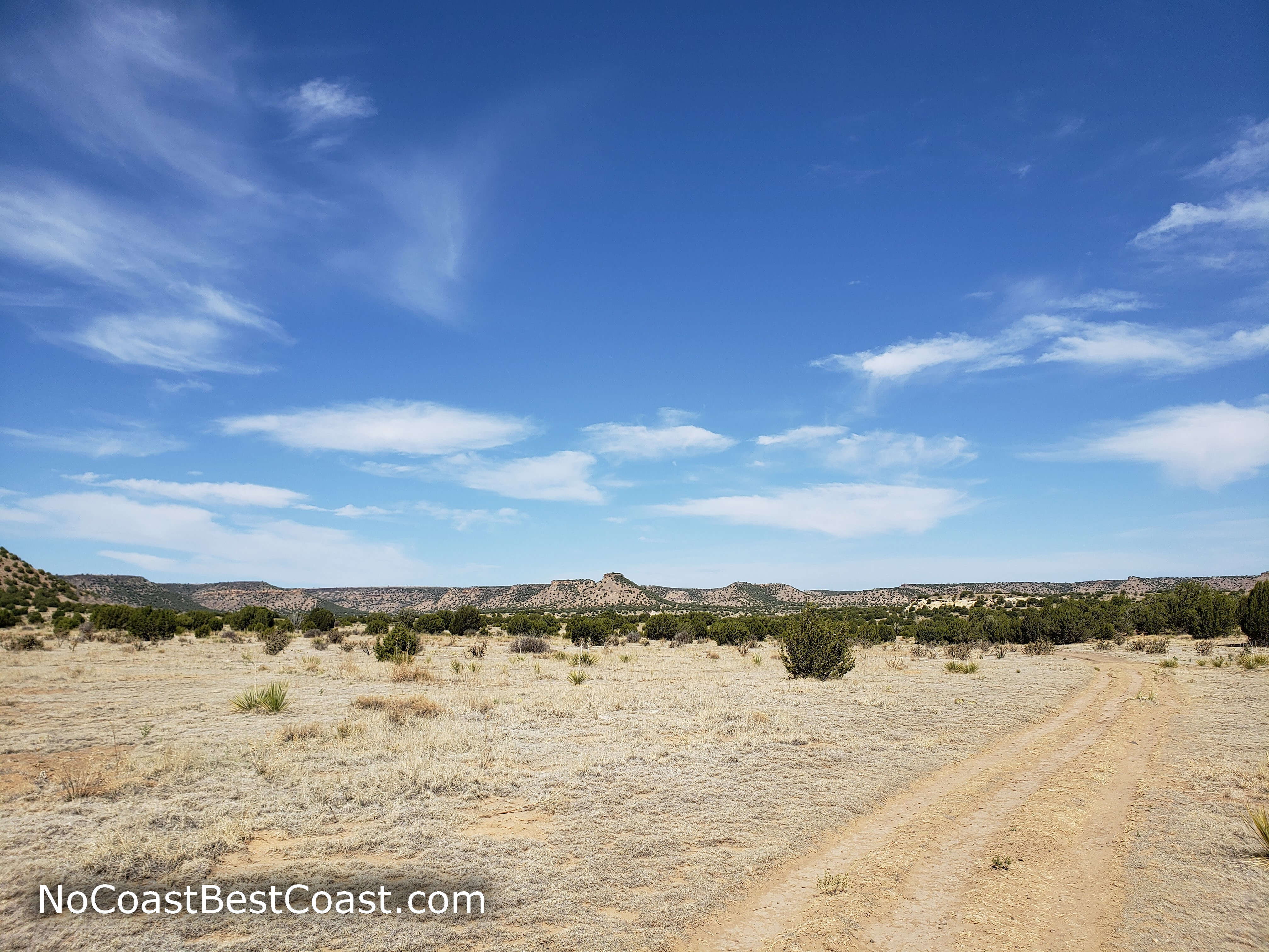
Black Mesa is in a highly isolated part of the U.S., so the initial drive here is a major part of the journey -- it's about 3 hours from Amarillo or 5 hours from either Denver or Albuquerque. This surprising desert-like environment pictured below isn't what you envision when you think of Oklahoma, and it's a place most people have no reason to visit in their lifetimes.
Wispy clouds hover over distant mesas
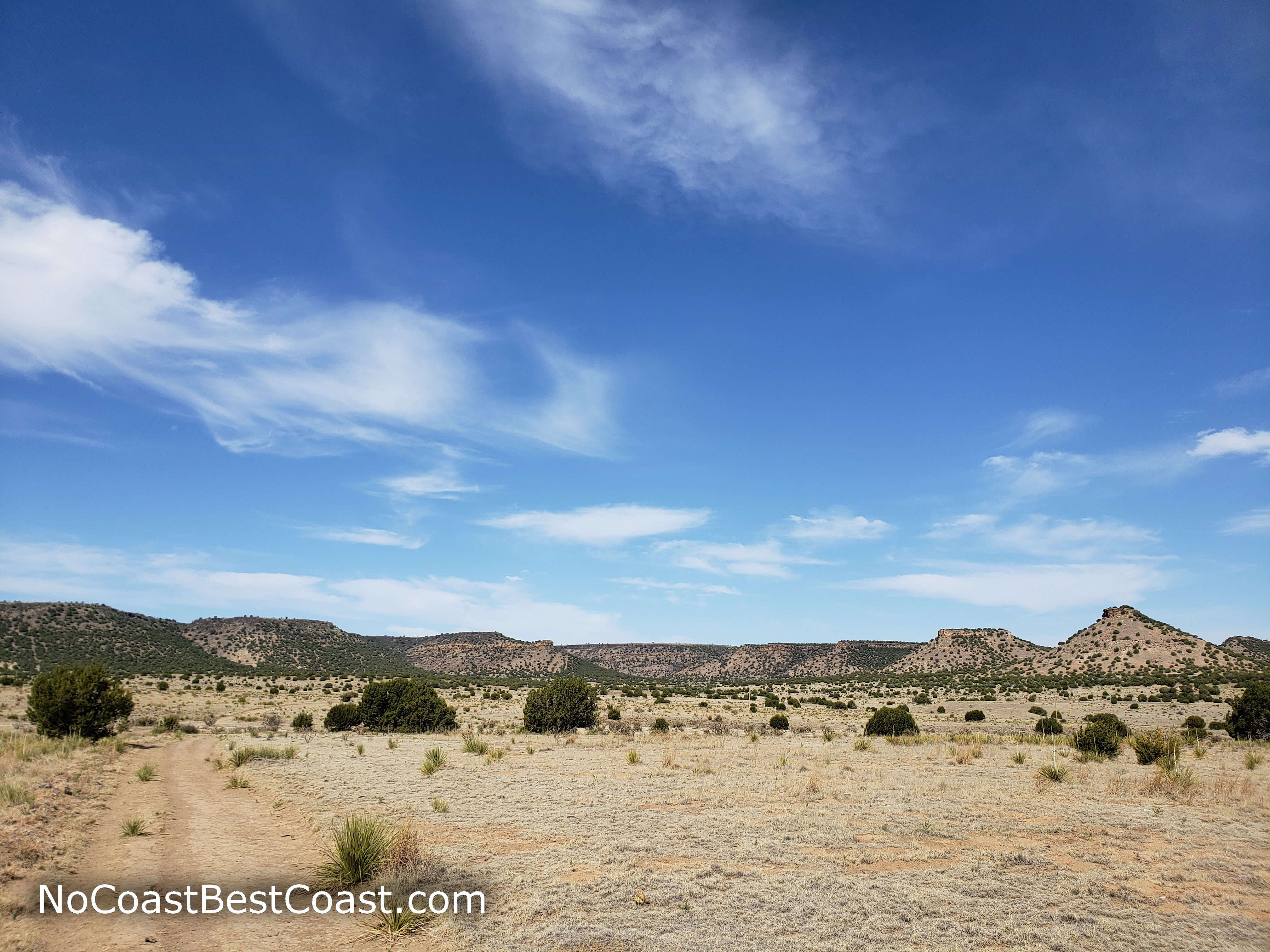
The surprisingly arid landscape of Western Oklahoma
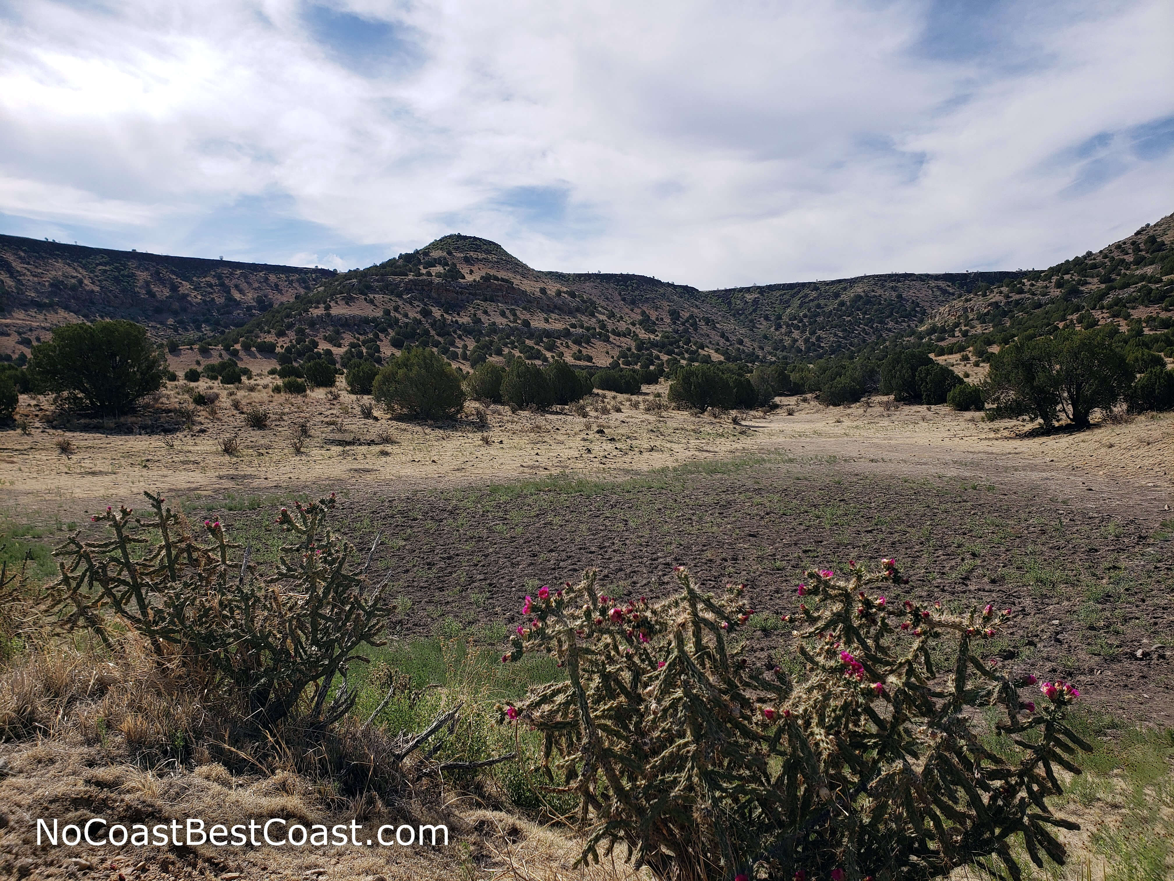
Blooming cacti lining the trail

The trail as it winds slightly uphill toward the mesa

The view near the third milepost is gorgeous


The flat, arid environment on top of Black Mesa
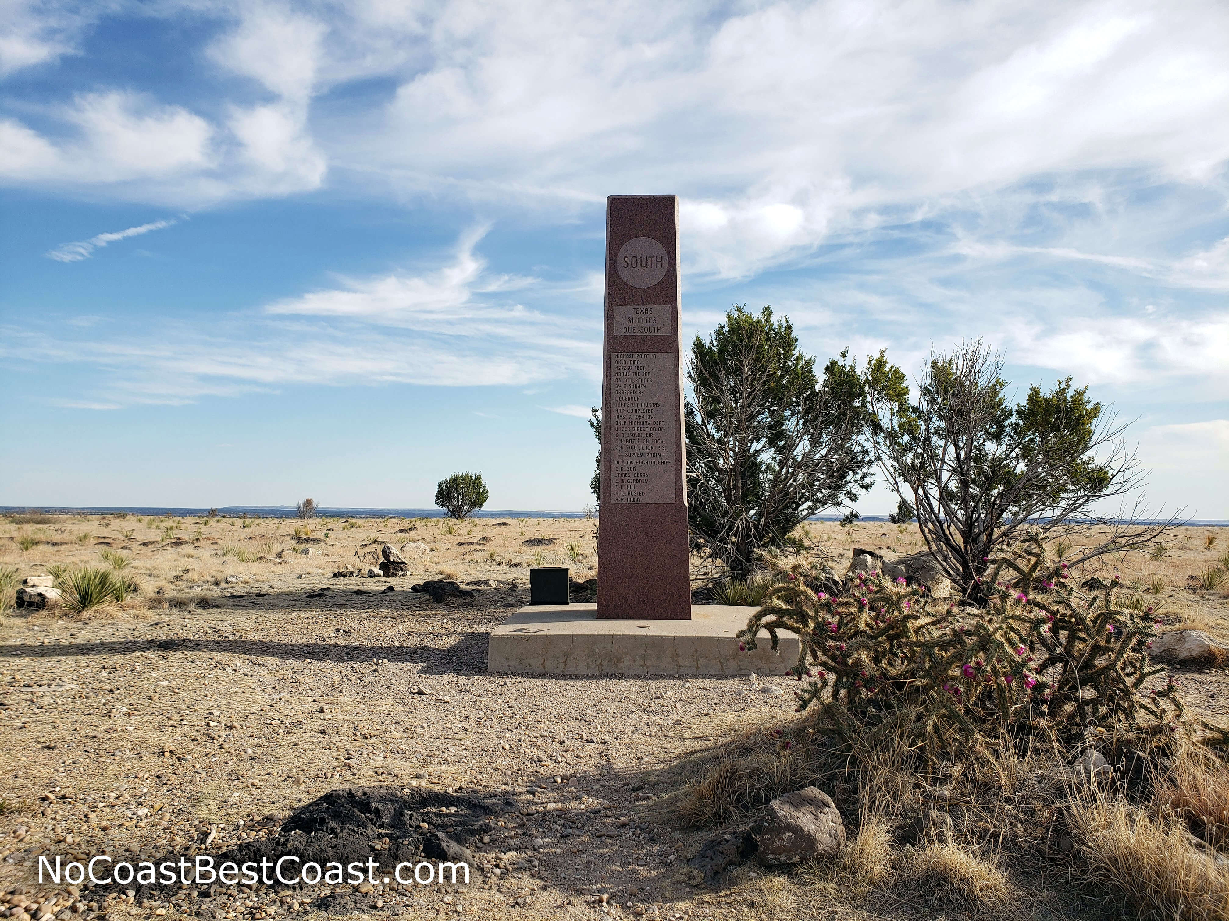
The stone highpoint marker on Black Mesa
Another highpoint down, and you'll have some beautiful views to remember! Connect with me using the social media links below and share your adventures!
Important Information
Dogs are allowed on leash. The hike is too long for younger children -- stick to the trails in the nearby Black Mesa State Park. Fall and spring have the best weather for hiking; winter is cold and windy, and summer temperatures often exceed 100 degrees with almost no shade to escape the heat. No matter when you visit, expect a constant blowing wind, especially on top of the mesa. As the state highpoint, people travel here from all over, and you can expect to see at least a couple people on the trail almost any time you visit.
Directions
lack Mesa is pretty far off the beaten track. Use the link below to navigate from wherever you're starting. Once you reach Kenton, Oklahoma, there will be signs along the main highway for Black Mesa to indicate you've gone the right way.
Google Maps Directions
Parking, Fees, and Facilities
Parking is free! There is a pit toilet in the parking lot.