| Rating | ★★★☆☆(3/5) |
| Overall Difficulty | Easy |
| Navigation Difficulty | Easy |
| Distance | 0.6 miles roundtrip |
| Time | 30 minutes |
| Terrain | A few hills |
| Best Seasons | All |
| Family Friendly | Yes |
| Dog Friendly | Yes |
| Accessible | No |
Highlights
- Picturesque lake on the North Country Scenic Trail
- Perfect stop while driving Minnesota Highway 371
Hike Summary
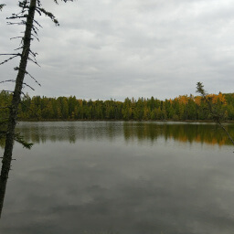
This short little hike around Lake Erin is what I would call a leg-stretcher: an easy trail that isn't a worthy destination by itself but is a perfect stop on a road trip. The entire loop around this lake should take less than half an hour out of your day, and you can enjoy some delightful nature. As you can tell from the picture below, this lake is especially beautiful in the fall.
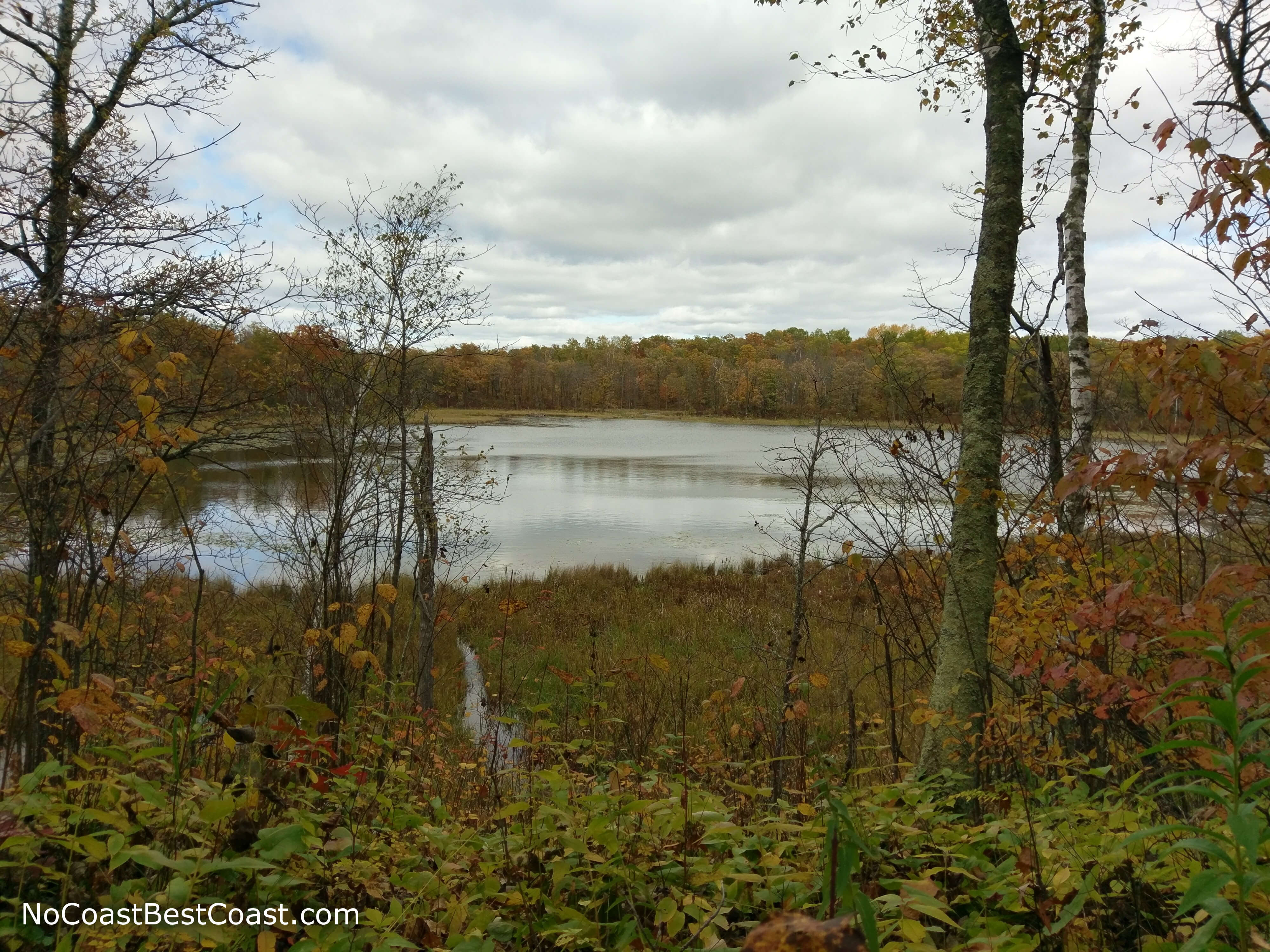
Looking across Lake Erin in fall
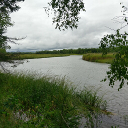
I will now describe the loop starting from the south. After staying left at the only intersection on the trail, you will begin a short journey through the forest, crossing the little wooden bridge pictured below. The trail here is only wide enough for one person and gives a more intimate feel.
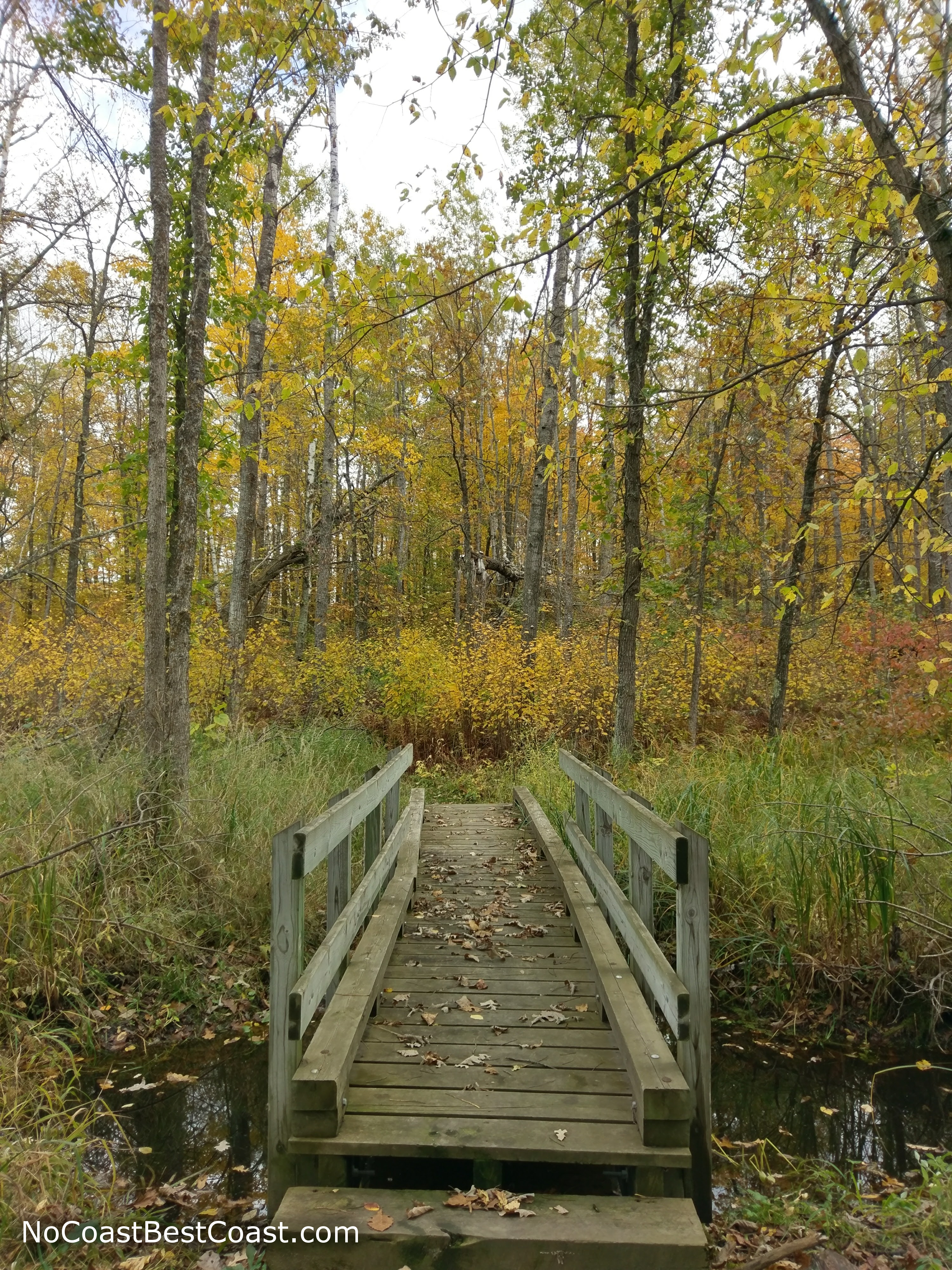
One of a couple short bridges along the Lake Erin Trail
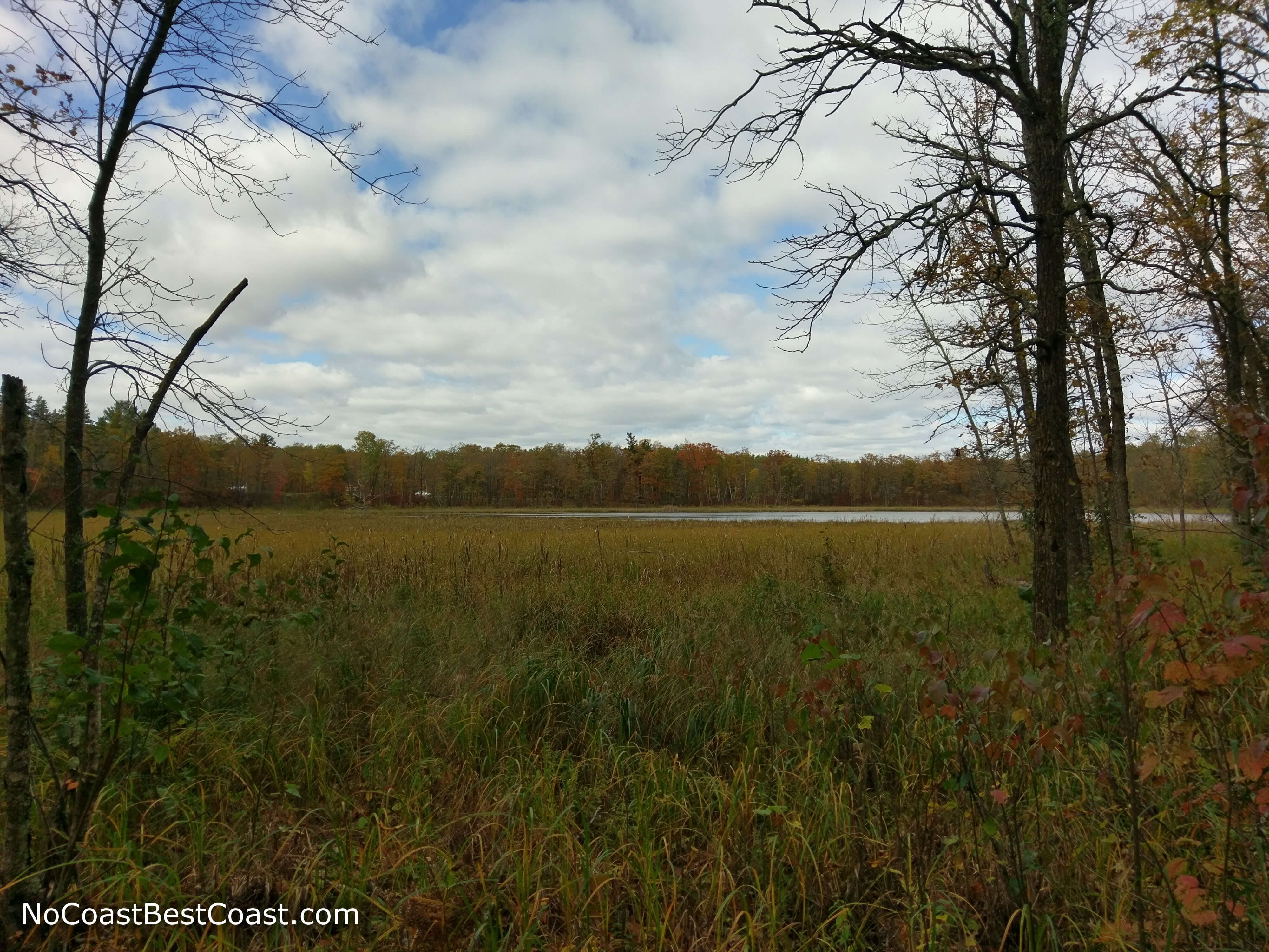
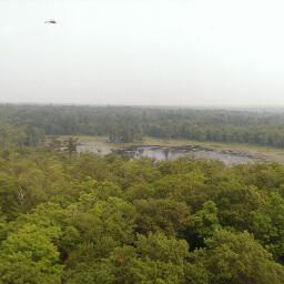
Lake Erin is overgrown with marsh grasses
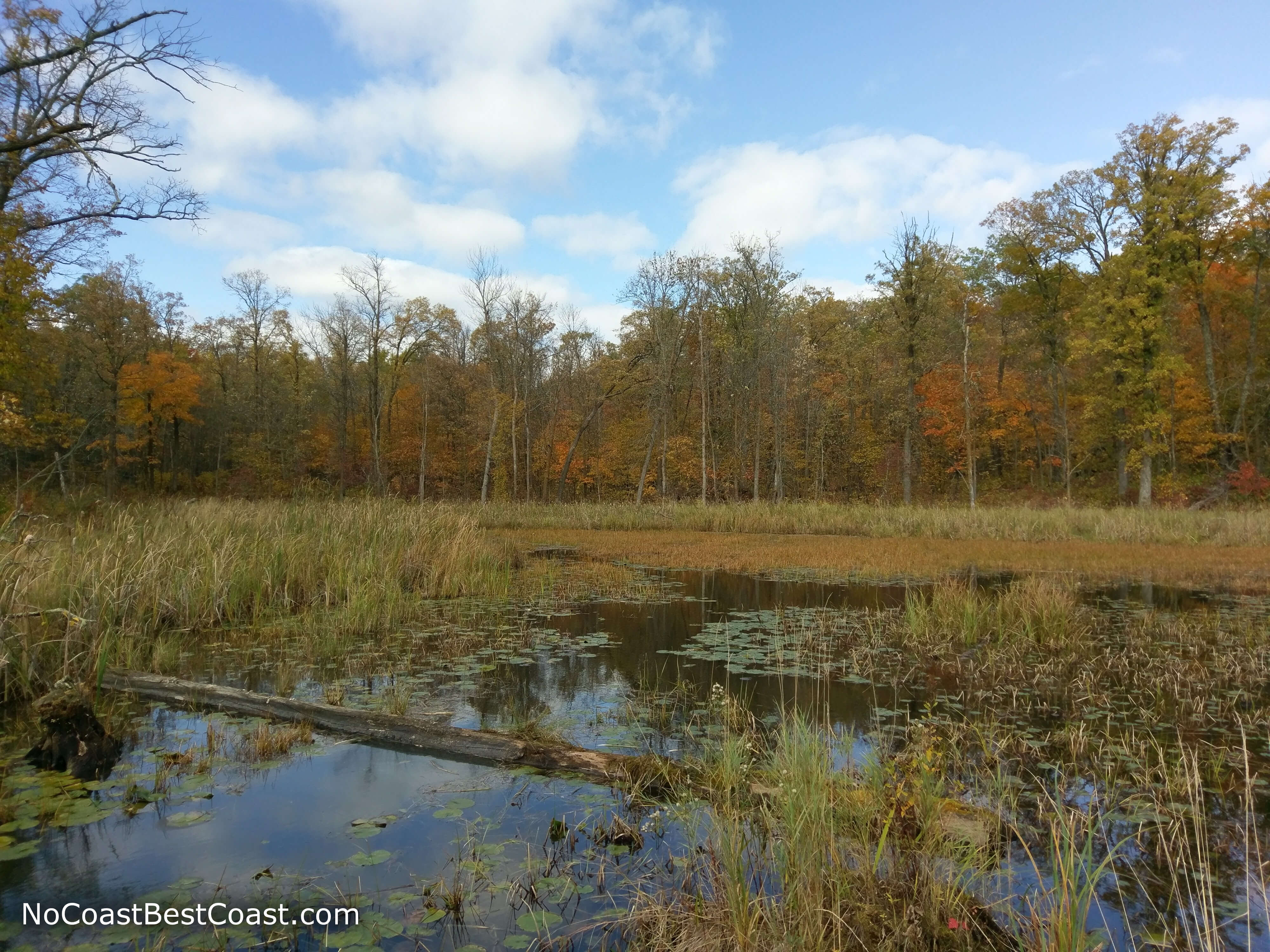
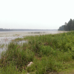
Another small bridge affords you this beautiful wetland view
Important Information
There isn't much information available on the official Chippewa National Forest website about most of its trails. There are no written rules on the website nor were there signs posted on the trail prohibiting dogs, so you shouldn't get in trouble if you have your dog on a leash. This is definitely a family friendly hike (and stopping here might help your kids survive another hour or two in the car). As for seasonal availability of the trail, my guess is they don't groom or maintain the trail in the winter, but you can probably hike it nevertheless. I visited on a Wednesday afternoon and saw no one else; I wouldn't expect to see a crowd even on nice summer weekends.
Directions
From the Twin Cities, take Interstate 94 west toward St. Cloud. In Monticello, take the exit for Minnesota Highway 25, then turn right. After crossing the river, turn left onto Park Boulevard. Turn left onto U.S. Highway 10. In Little Falls, stay right to continue on Minnesota Highway 371 for about 80 miles. The parking area is on the right side of Minnesota Highway 371 after driving through Hackensack, indicated by a giant Chippewa National Forest sign.
Google Maps Directions
Parking, Fees, and Facilities
Parking is free! There is a picnic area but no restrooms near the lot.
Nearby Hikes
Itasca State Park, Minnesota
★★★★☆(4/5)
Itasca State Park, Minnesota
★★★★☆(4/5)
Schoolcraft State Park, Minnesota
★★★★★(5/5)
Lake Bemidji State Park, Minnesota
★★★★☆(4/5)