| Rating | ★★★★☆(4/5) |
| Overall Difficulty | Moderate |
| Navigation Difficulty | Easy |
| Distance | 3 miles roundtrip |
| Time | 2 hours |
| Terrain | Hilly |
| Best Seasons | All |
| Family Friendly | No |
| Dog Friendly | Yes |
| Accessible | No |
Highlights
- Amazing views from the overlook at Lover's Leap
- Meandering trail adjacent to a rushing stream
Hike Summary
The Lovers' Leap Trail is so named for the rocky outcropping with a sheer drop where two Native American lovers jumped to their deaths once upon a time. (I can't seem to find more to the story than that statement, so let's pretend it was a Romeo and Juliet forbidden love situation that led to a suicide pact). Whether or not the story is true (it is coincidentally similar to most other stories about the myriad other places dubbed "Lovers' Leap" in the U.S.), there is no denying that Lovers' Leap has a fantastically romantic view of the Black Hills and the canyon that U.S. Highway 16A runs through. Unlike other hikes to a major overlook, the beauty continues as you descend into a narrow canyon with a picturesque stream filled with granite rock formations and the delightful deciduous trees and shrubs that make this a premier fall color hike. Thanks to this wonderful scenery and the challenging but short trail, this is one of the most popular hikes in the park.
From the parking area outside the Peter Norbeck Education Center, use the crosswalk to reach the paved path on the other side of the highway and turn left (heading east). After crossing a footbridge, cut across the grass to find the trailhead behind the small building -- the trailhead is clearly marked with a map. Start the hard climb uphill and follow the path as clearly marked with blue arrowed diamonds posted on the trees, as pictured below.
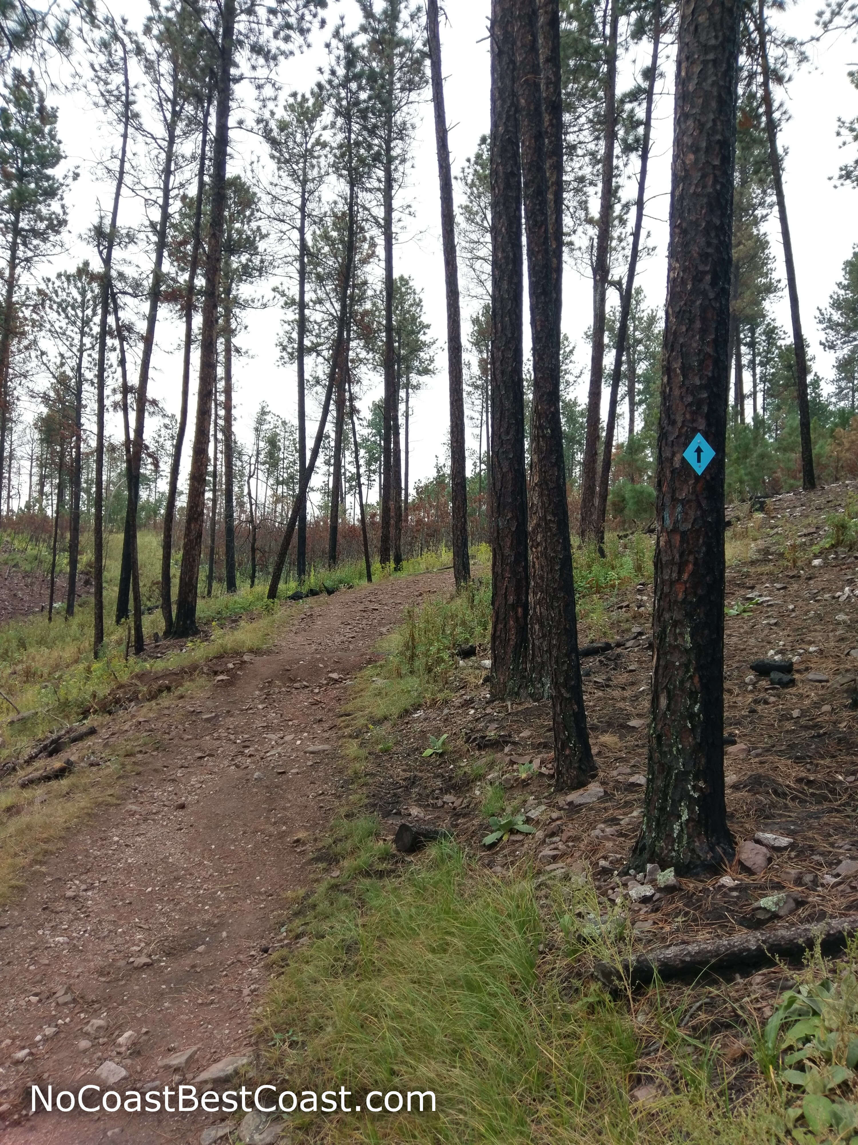
Blue blazes help you navigate the trail
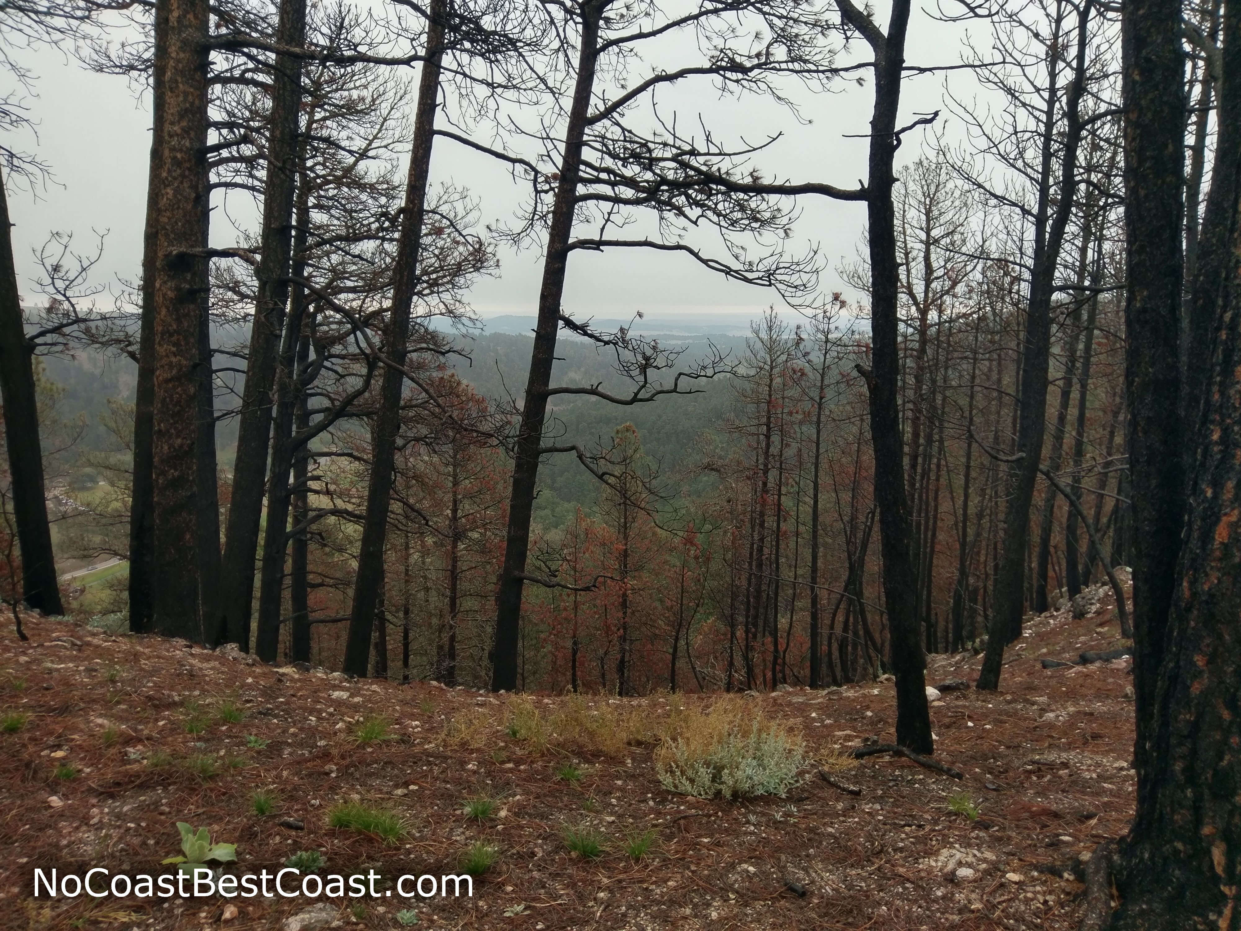
Views through the pine forest scarred by past fires
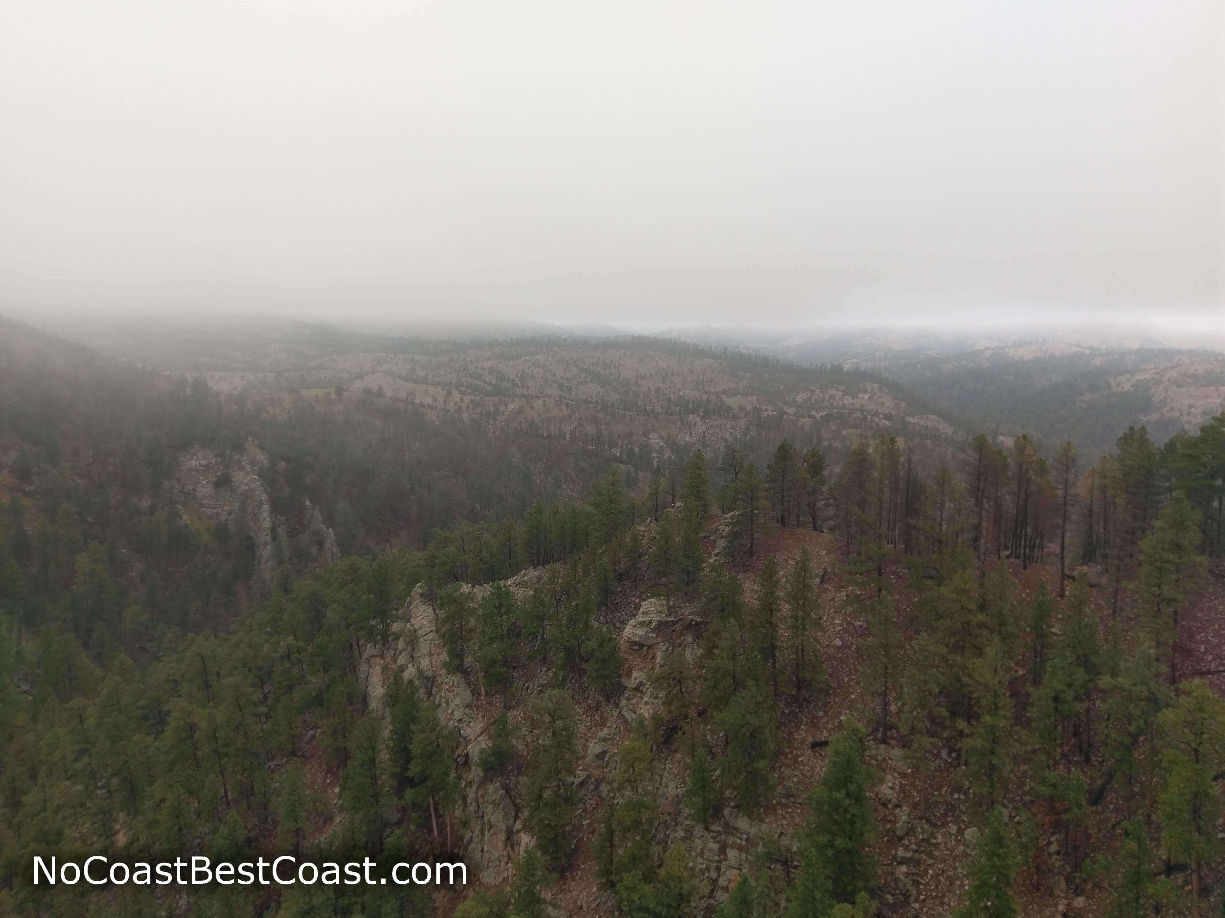
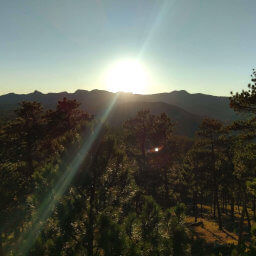
The view across the canyon into the Black Hills
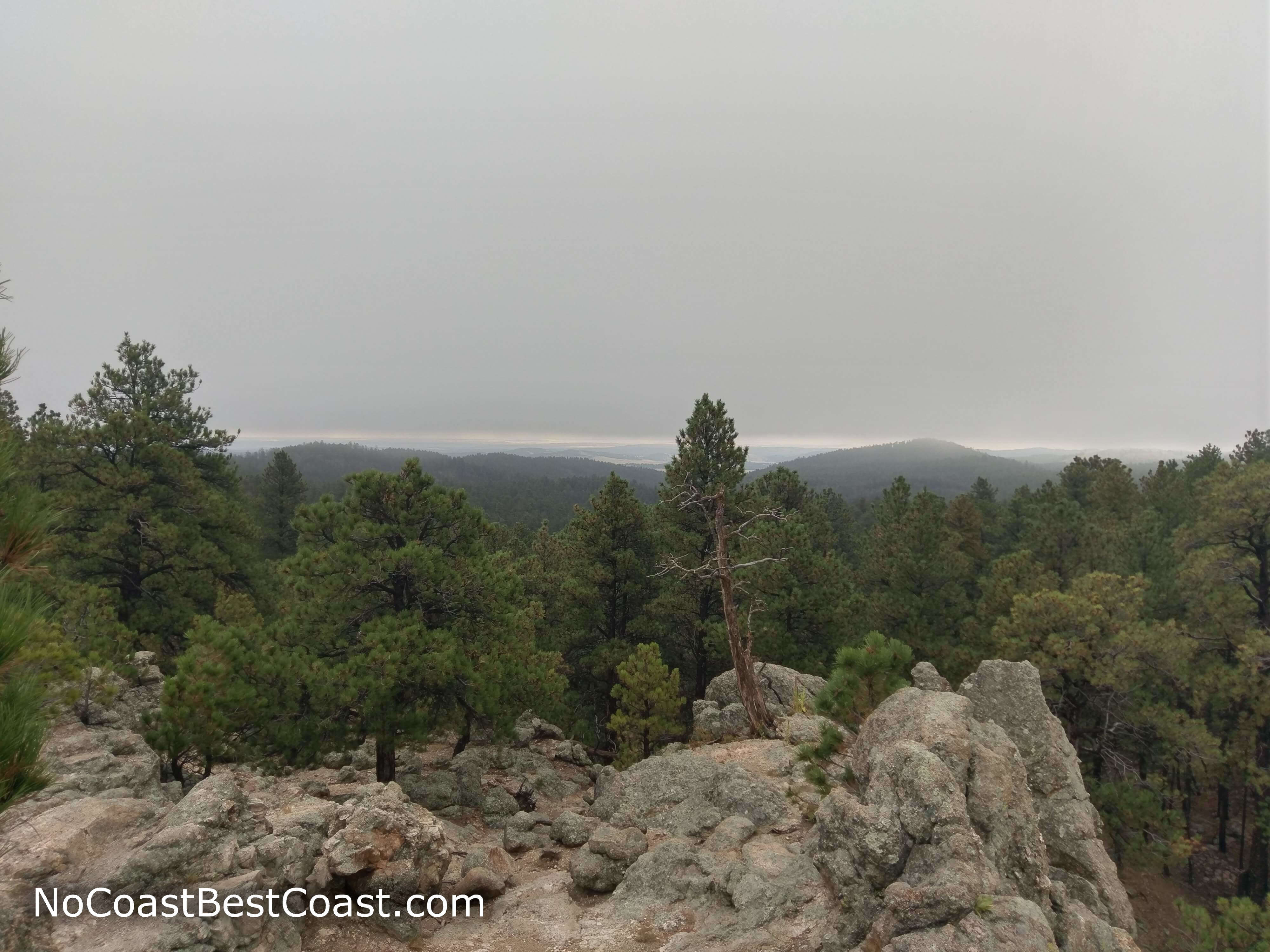
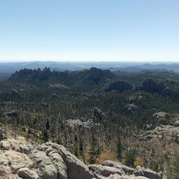
Looking southwest past the rocky ledge of Lovers' Leap
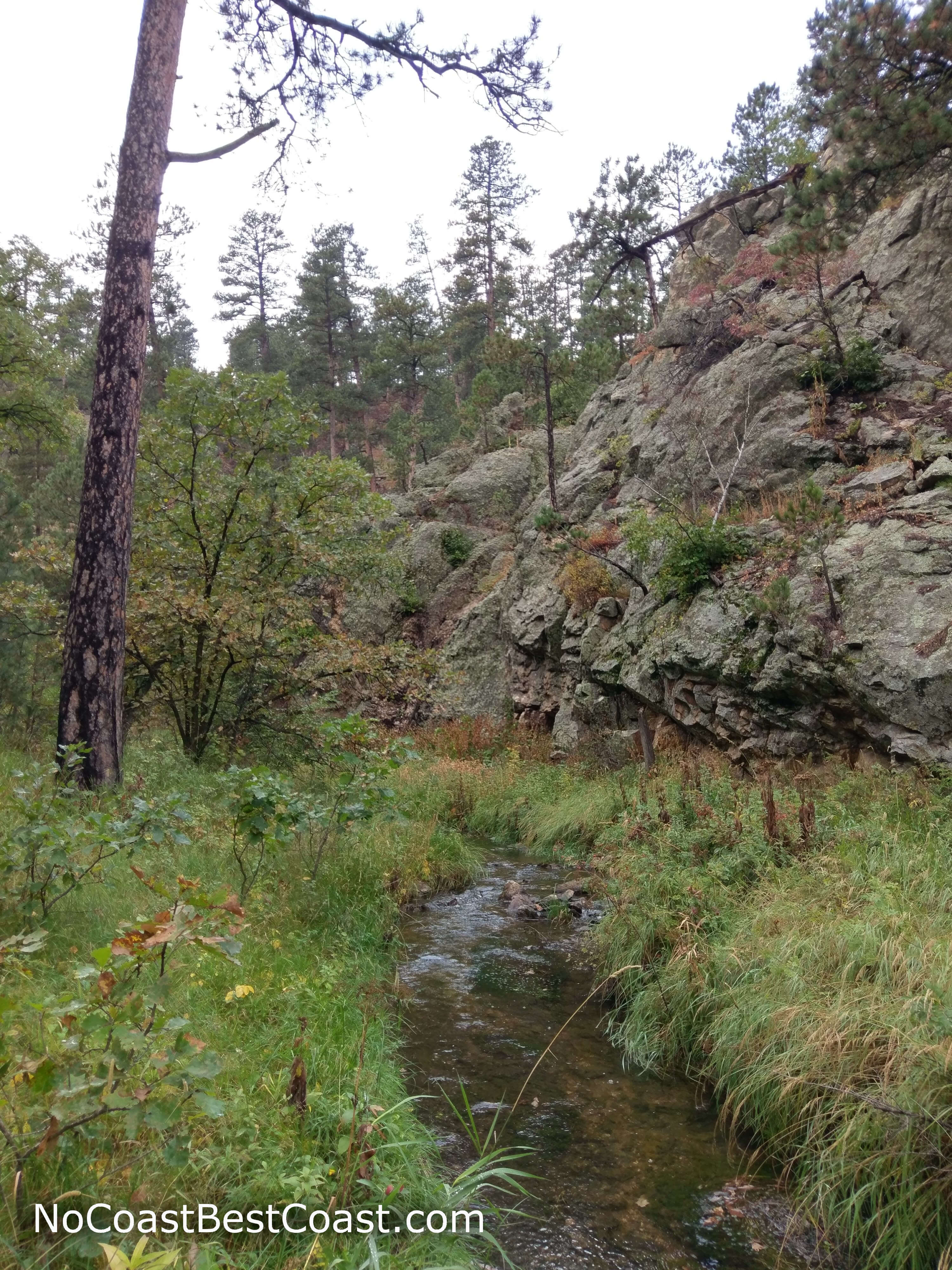
The stream at the bottom of the canyon
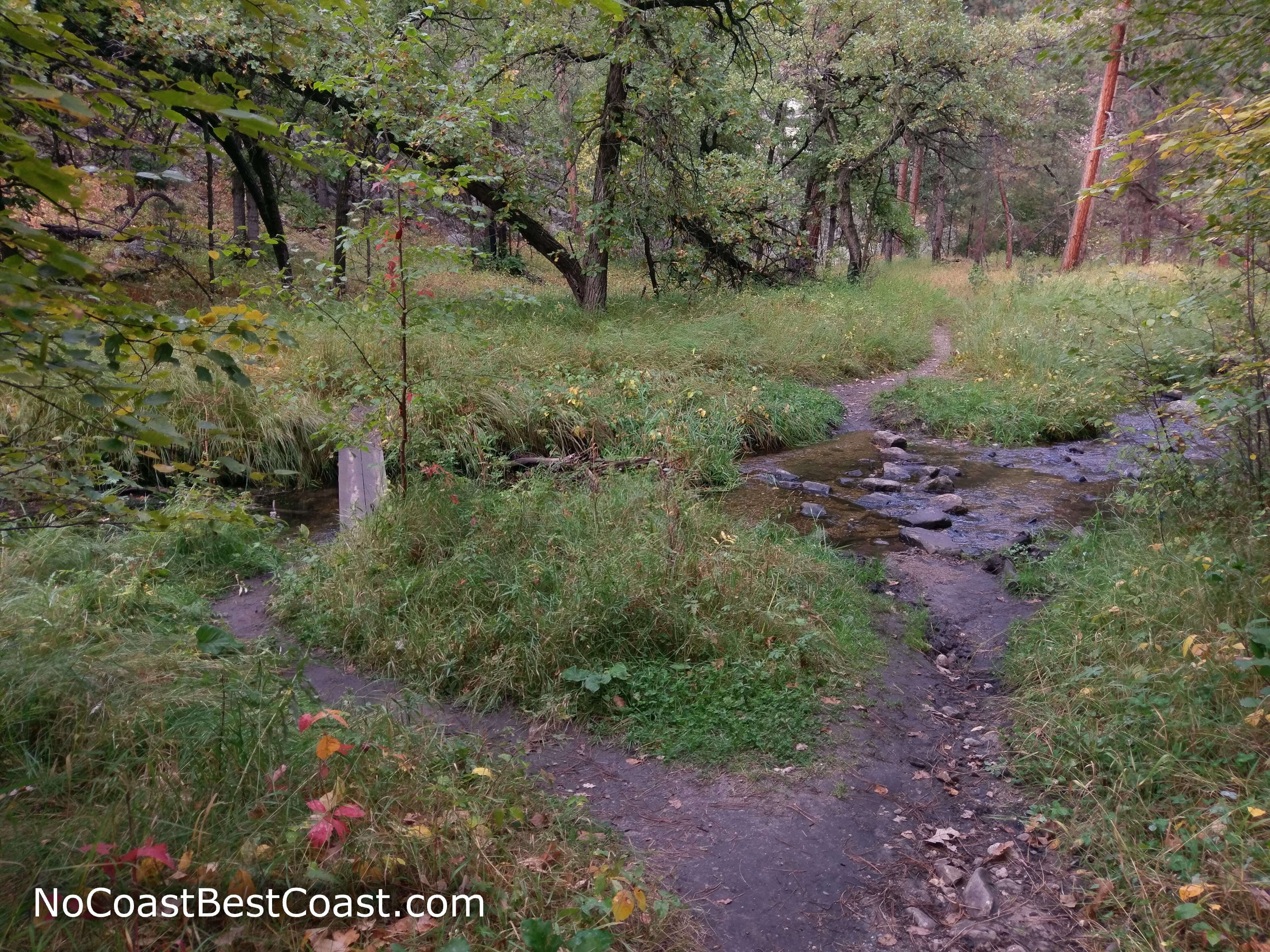
You can choose to cross the bridge or ford the stream
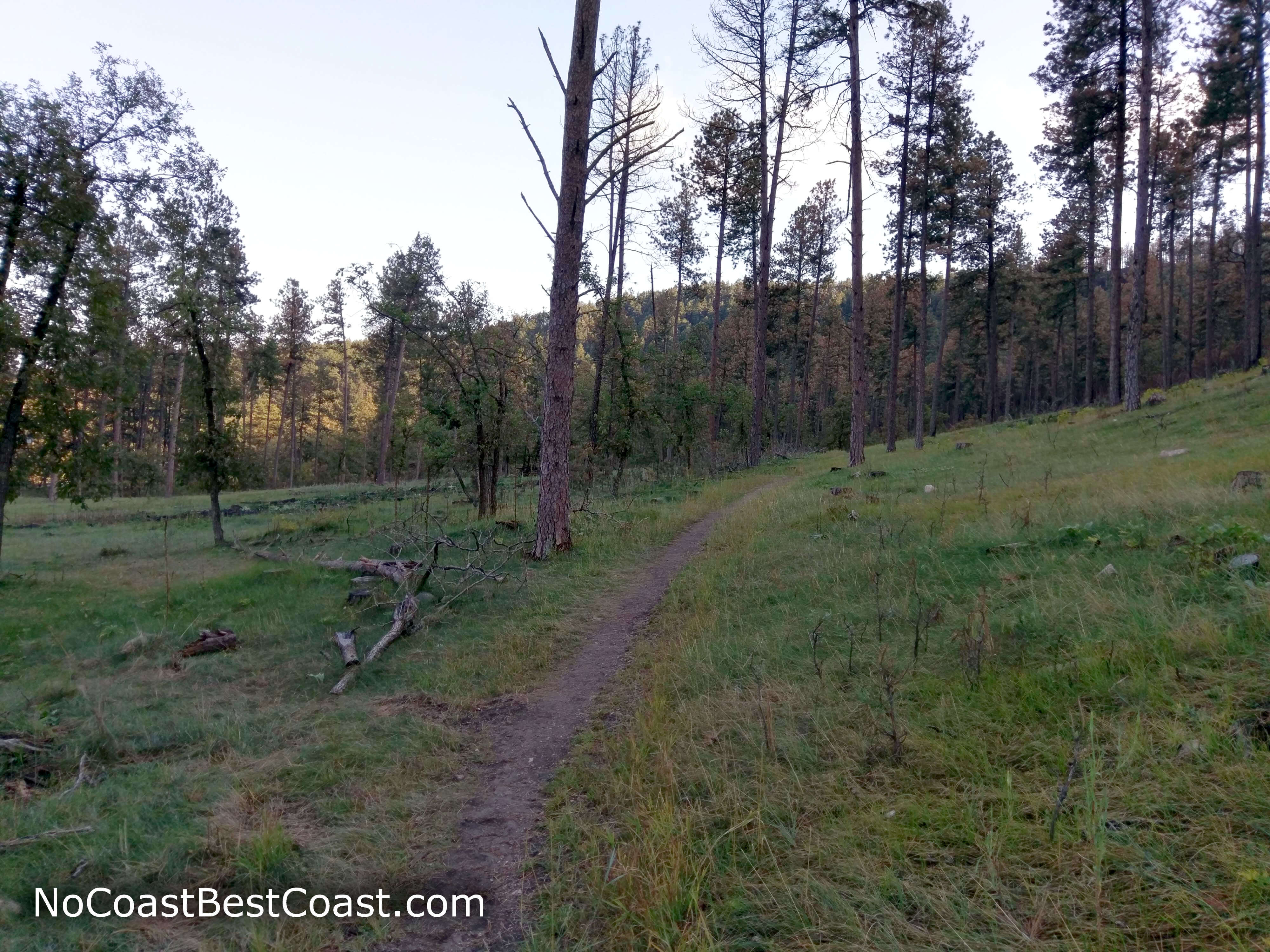
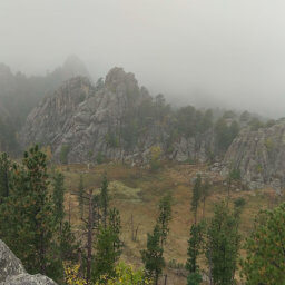
The meadowy forest on the last stretch of the trail
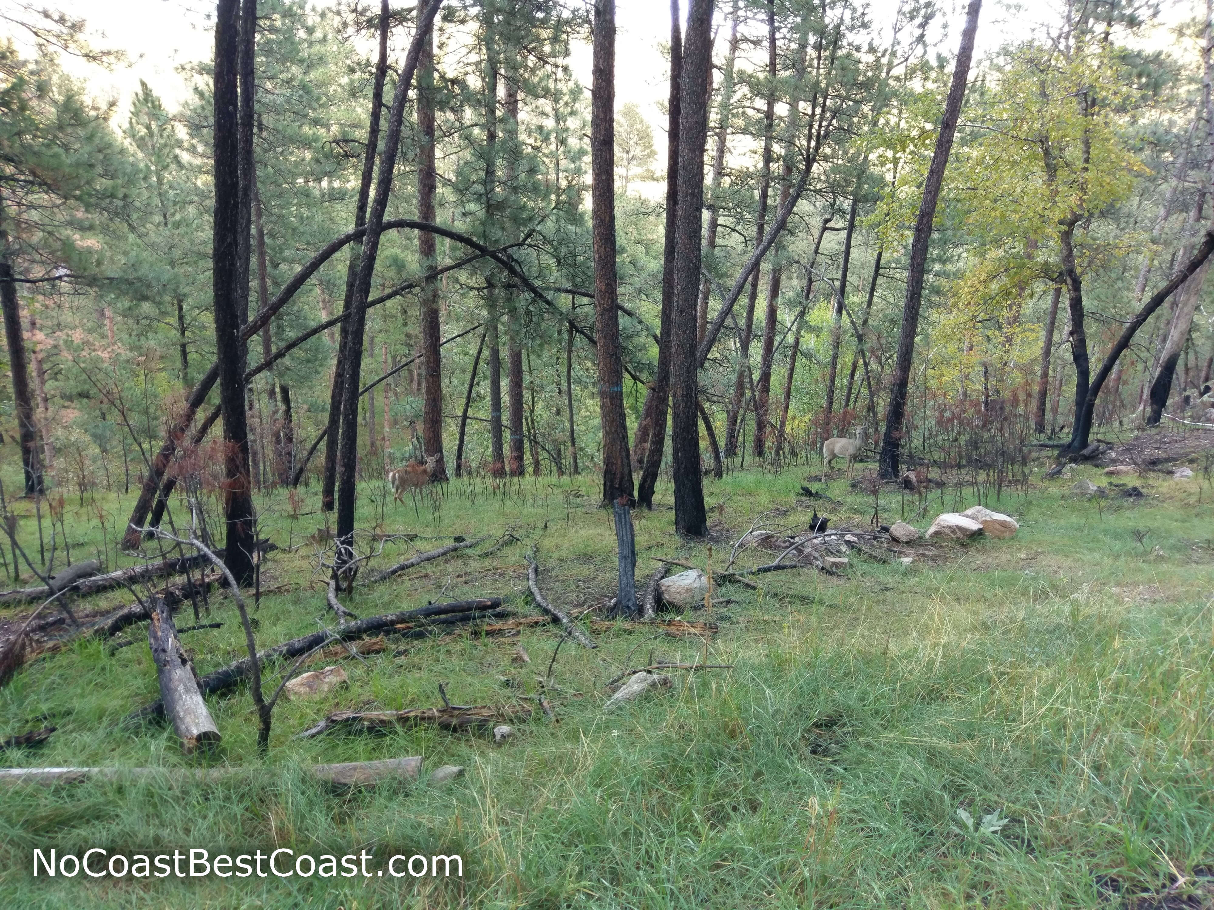
A mother deer and her child lurking in the forest
Important Information
Dogs are allowed on leash anywhere in the park except for inside buildings or on designated swim beaches. The strenuous uphill nature of this hike makes it too difficult for young children, but older kids will definitely appreciate the views and the fun stream crossings in the latter portion of the hike. Unfortunately, the hilly nature of Custer State Park leaves few family friendly alternatives, but there are options in the other nearby parks: Wind Cave National Park and Black Hills National Forest. You can access this hike all year. Winter conditions may obviously make the hike more difficult, but navigation needn't be a concern with blue blazes in the trees to mark the trail. The ever present shade of the pines makes this hike great even on a hot summer day. This is one of the most popular hikes in Custer State Park, so expect to see plenty of people.
Directions
From Custer, take U.S. Highway 16A east to enter Custer State Park. Just after the Coolidge General Store, turn left to park at the south end of the lot for the nature center.
From Rapid City, take South Dakota Highway 79 south, then turn right onto South Dakota Highway 36 in Hermosa. Continue straight to continue on U.S. Highway 16A. Just past the State Game Lodge, turn right to park at the south end of the lot for the nature center.
Google Maps Directions
Parking, Fees, and Facilities
Entrance into the park is $20 per vehicle for a weekly pass or $30 for an annual pass. The Peter Norbeck Education Center has flush toilets, water, and (of course) educational exhibits.
Nearby Hikes
Black Hills National Forest, South Dakota
★★★★☆(4/5)
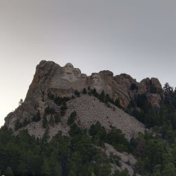
Mount Rushmore National Memorial, South Dakota
★★★★☆(4/5)
Black Hills National Forest, South Dakota
★★★☆☆(3/5)
Custer State Park, South Dakota
★★★★★(5/5)