| Rating | ★★★★☆(4/5) |
| Overall Difficulty | Easy |
| Navigation Difficulty | Easy |
| Distance | 4.2 miles roundtrip |
| Time | 3 hours |
| Terrain | A few hills |
| Best Seasons | All |
| Family Friendly | No |
| Dog Friendly | Yes |
| Accessible | No |
Highlights
- See a herd of bison
- One of the few remaining tallgrass prairies in Minnesota
- Prickly pear cactus blooms in the summer
Hike Summary
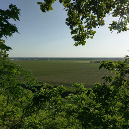
Although it was quite a drive from the Twin Cities, this state park was a welcome departure from my usual Minnesota State Park experience of camping in a forest and hiking along a river or lake. How many other state parks manage a herd of bison? Blue Mounds State Park is also unique in that it is home to one of the few remaining tallgrass prairies in Minnesota as well as one of the places that, surprisingly, cactus grows in Minnesota. The park's location feels strange since there are not many trees to disguise how close it is to a town in the middle of a vast agricultural area. Despite the lack of a wilderness feel, the area is peaceful and quiet and the elevation of the park allows you to see the seemingly never-ending flatness extending to the horizon. The entire hike is mostly flat except for short stints of elevation change taking you to the bottom of the cliffs and back up again.
The Mound Trail starts by following the fence enclosing the bison, affording you new angles to view the herd. After 1.6 miles, you will reach Eagle Rock, a large boulder jutting out of the prairie that gives you views of surrounding grassland and nearby farms for miles. The visitor center is a short distance from Eagle Rock and marks a good halfway point if you want to take a break or have a snack.

The herd of 100 bison is the best feature of this park
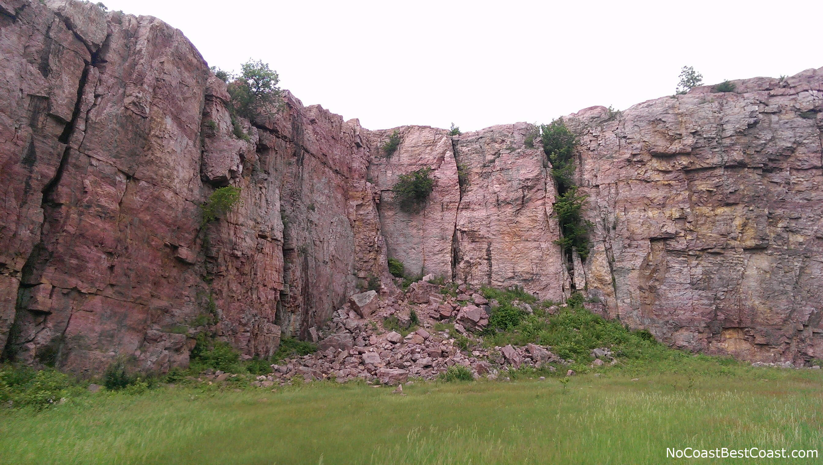
The pink Sioux Quartzite cliffs of the historic quarry
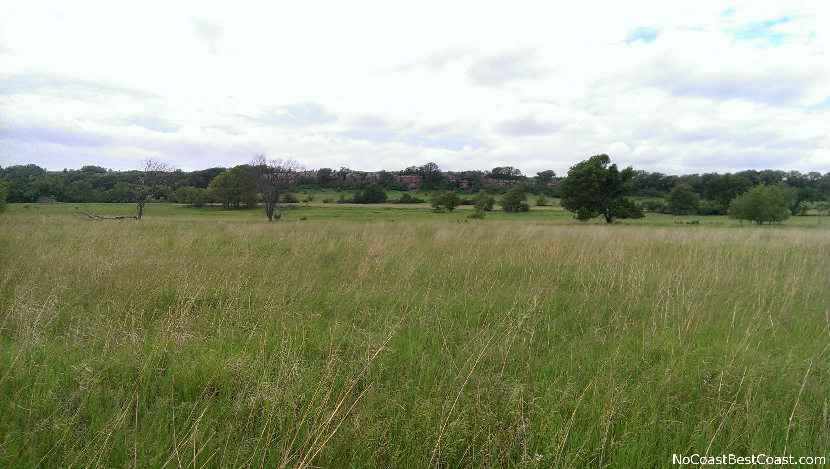
The cliffs of Blue Mound from the Lower Cliffline Trail
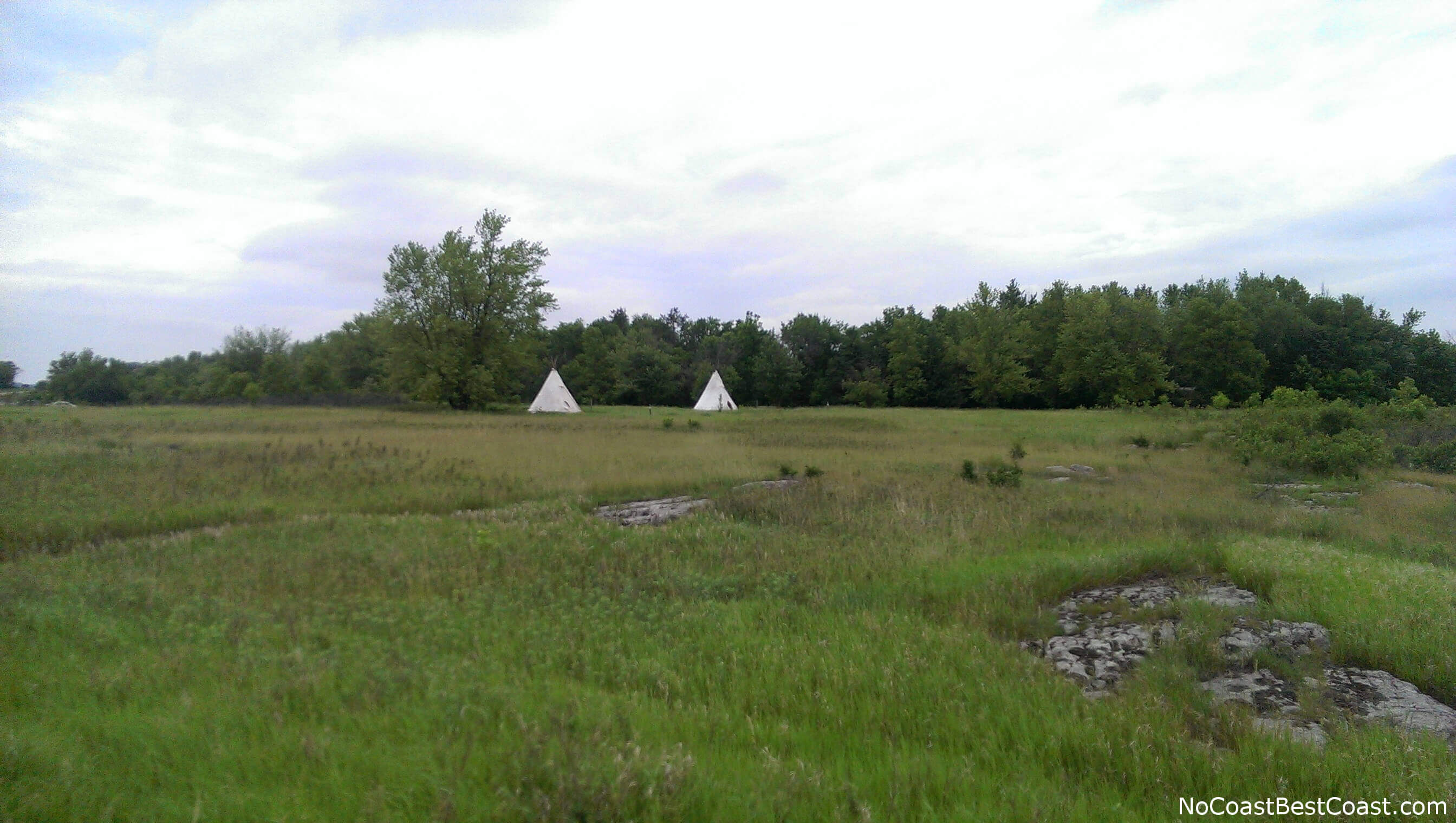
Believe it or not, you can book a stay in one of these teepees
Important Information
Similar to other Minnesota State Parks, dogs are allowed on a leash no longer than 6 feet. The total distance of this hike is too long to be family friendly, but there are several ways you can shorten the hike to a doable distance thanks to the looping nature of the trail system here. You can hike here all year, and thanks to it's out of the way location, it won't be very crowded when you visit.
Directions
Blue Mounds State Park is approximately 3.5 hours from the Twin Cities or 45 minutes from Sioux Falls. From Interstate 90 take Highway 75 north for 4 miles, then turn right on County Road 20. You will arrive at the park after 1 mile.
Google Maps Directions
Parking, Fees, and Facilities
Like all Minnesota State Parks and Recreation Areas, you must pay a vehicle entry fee of $7 per day or $35 for an annual pass (highly recommended if you frequently go to Minnesota State Parks). Parking is in a dirt oval at the end of the main park road past the campground and observation deck. There are bathrooms and a picnic area with a sand volleyball court.
Nearby Hikes
Hawkeye Point, Iowa
★★★★★(5/5)
Stone State Park, Iowa
★★★★☆(4/5)