| Rating | ★★★★★(5/5) |
| Overall Difficulty | Easy |
| Navigation Difficulty | Easy |
| Distance | 5 miles roundtrip |
| Time | 3 hours |
| Terrain | Mostly flat |
| Best Seasons | All |
| Family Friendly | No |
| Dog Friendly | Yes |
| Accessible | No |
Highlights
- Views of Lake Superior and Duluth
- Sandy beaches
- Ruins to explore
Hike Summary
Park Point, also known as Minnesota Point, is a long sand spit stretching 7 miles across Lake Superior. This trail is in the flattest part of nortoriously hilly Duluth (aka the San Francisco of the Midwest), but this straight trail doesn't need hills to keep you entertained. Not only will you be able to observe the process of ecological succession, a theory about how bare sand transitions to lush forest developed in the Midwest at Indiana Dunes just outside of Chicago, you will also see ruined buildings, massive industrial equipment in the harbor, a lighthouse, and tremendous views of Duluth from afar. The best part is that after your sweaty adventure, you can enjoy some of the best sandy beaches Duluth has to offer and a refreshing dip in Lake Superior.
From the parking area, look for the gap in the chainlink fence near the airport building -- there should be a wooden kiosk next to it. Don't take the wooden boardwalk on the left side of the road as you face the airport; this leads to the beach and there are no connections to the Park Point Trail that don't involve damaging fragile dune grasses. The first portion of the trail is essentially a gravel service road that runs along the airport's fence. The trail veers from this road at about the midpoint of the runway, becoming the sandy path pictured below.
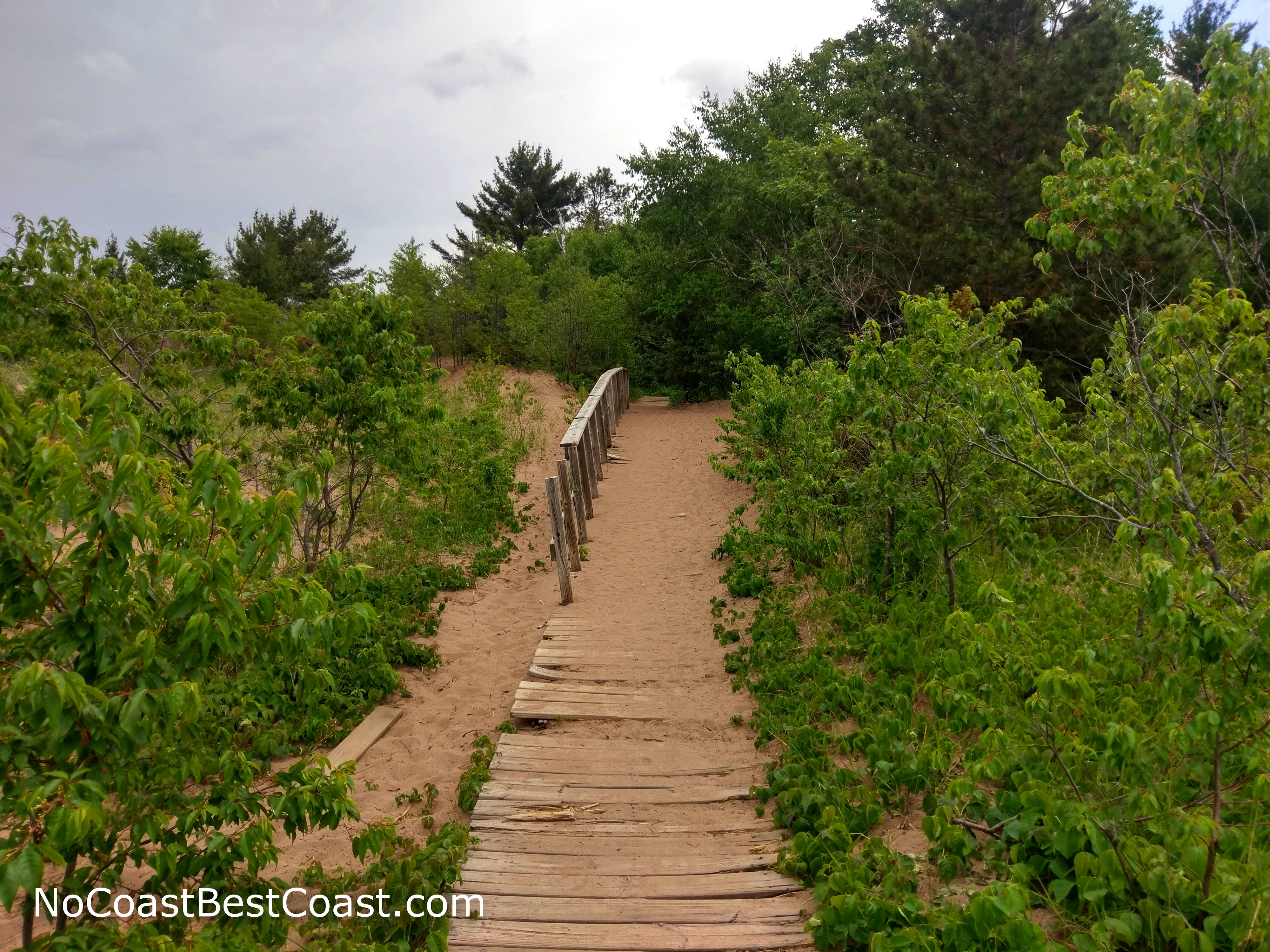
The beginning of the sandy trail
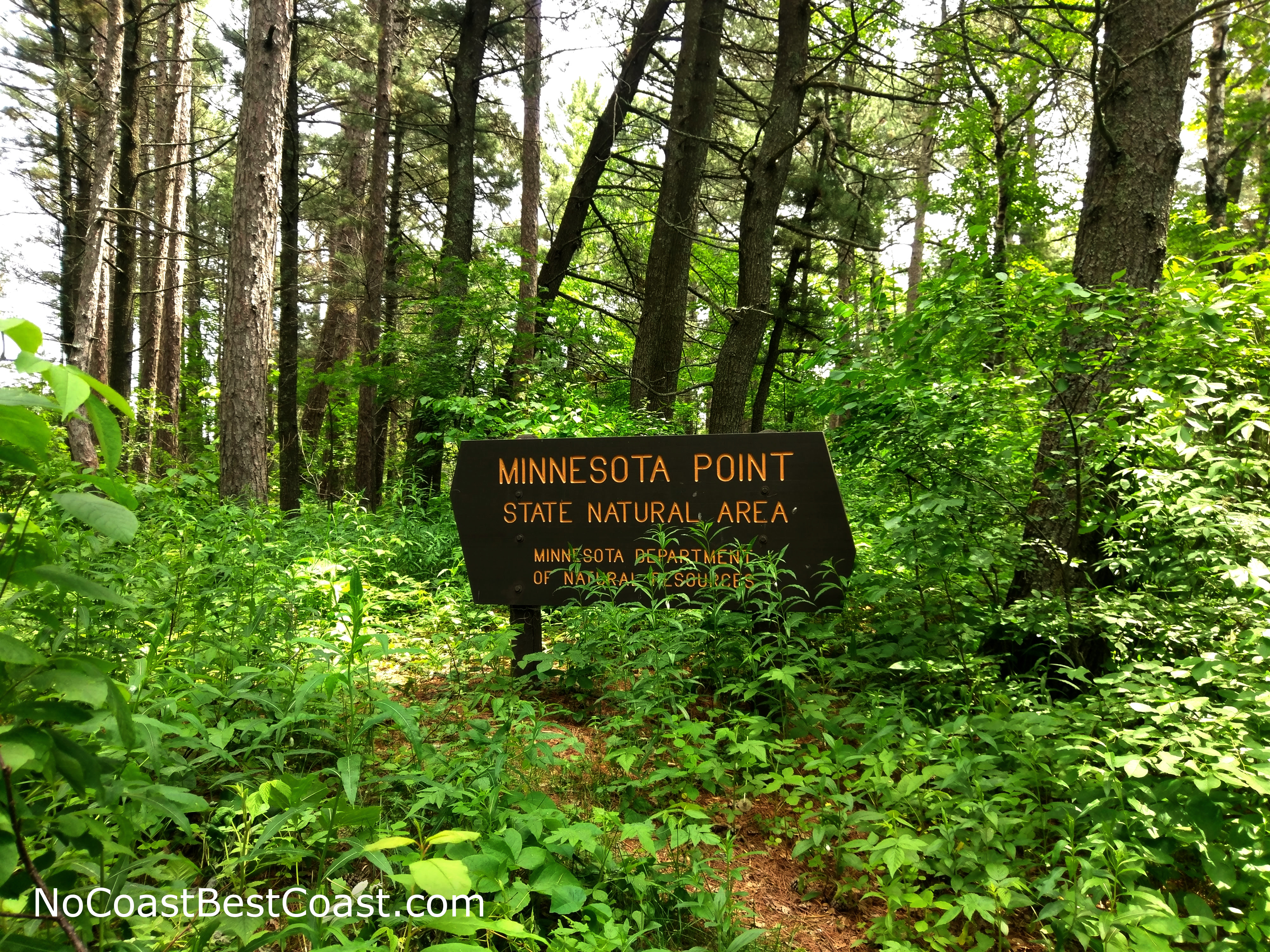
The sign marking entrance into the Minnesota Point State Natural Area
After resuming the hike, the trail will eventually emerge from the forest and it will look like the trail splits. Go right to stay on the correct route -- the other way is a use trail leading to the beach. From here on, the rest of the hike will mostly be in open grassland with a smattering of trees. Ahead you will see grassy dunes like pictured below (they almost remind me of Kohler Dunes).
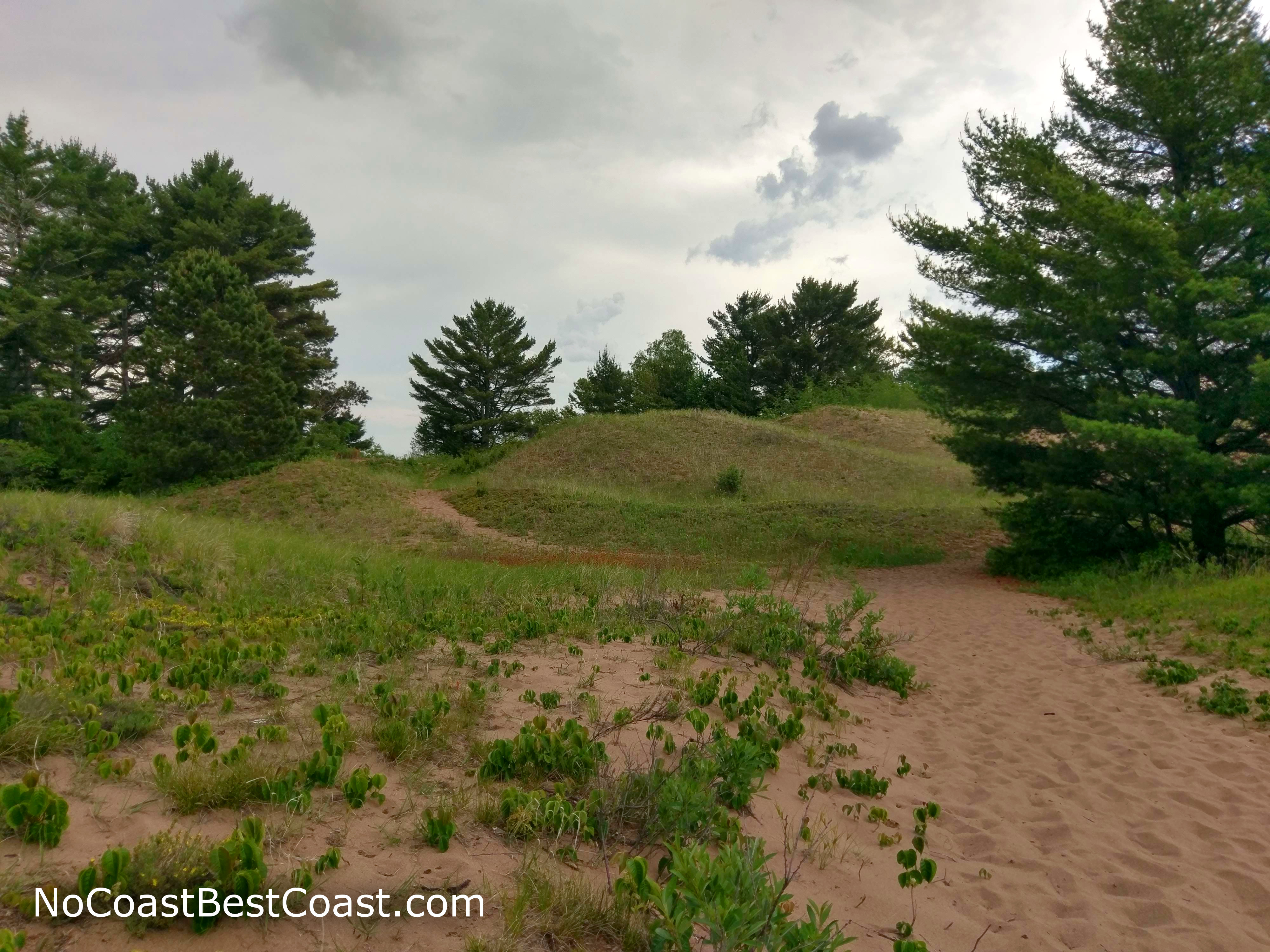
Grassy dunes and pines form the unique landscape on Park Point
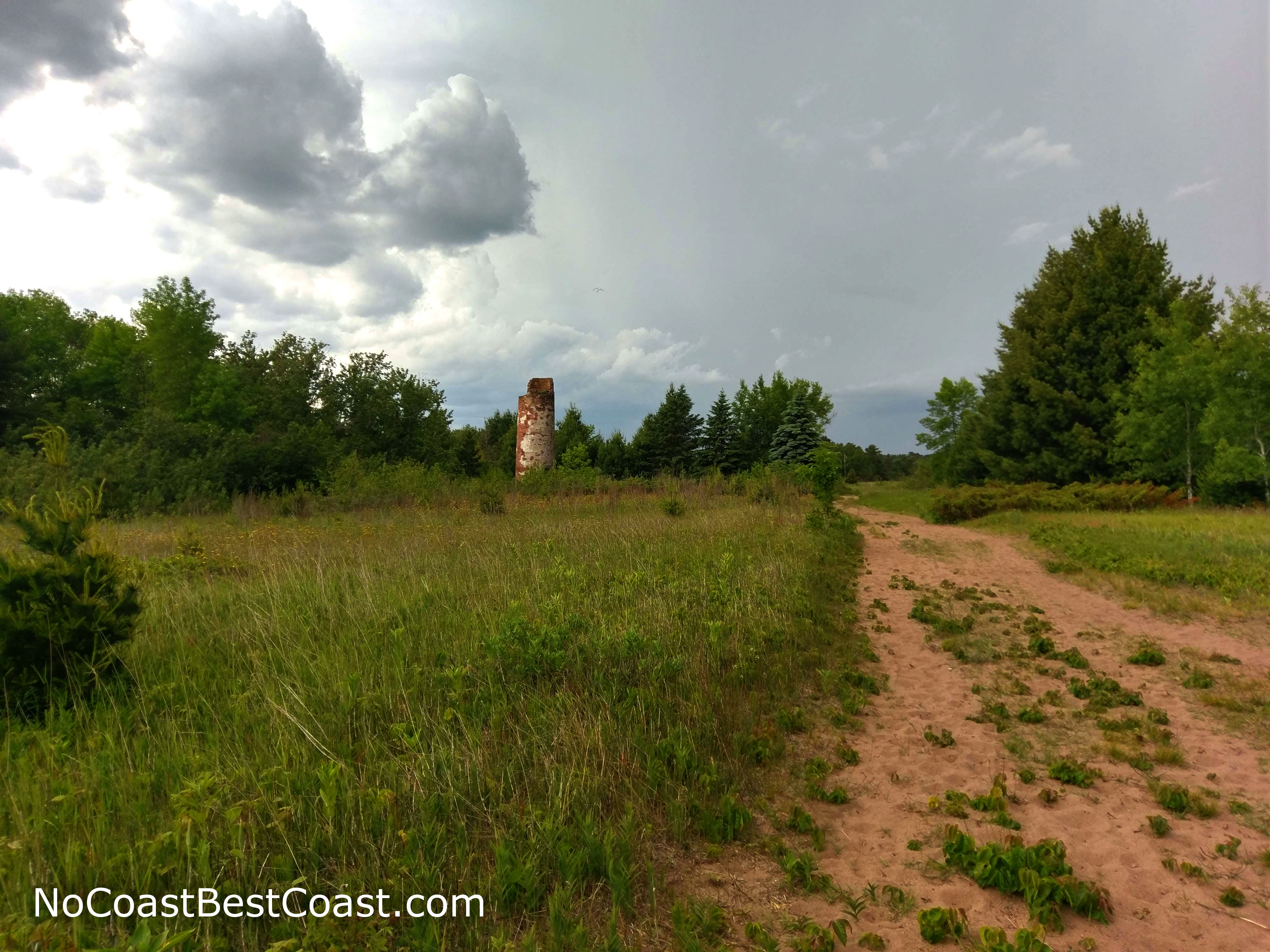
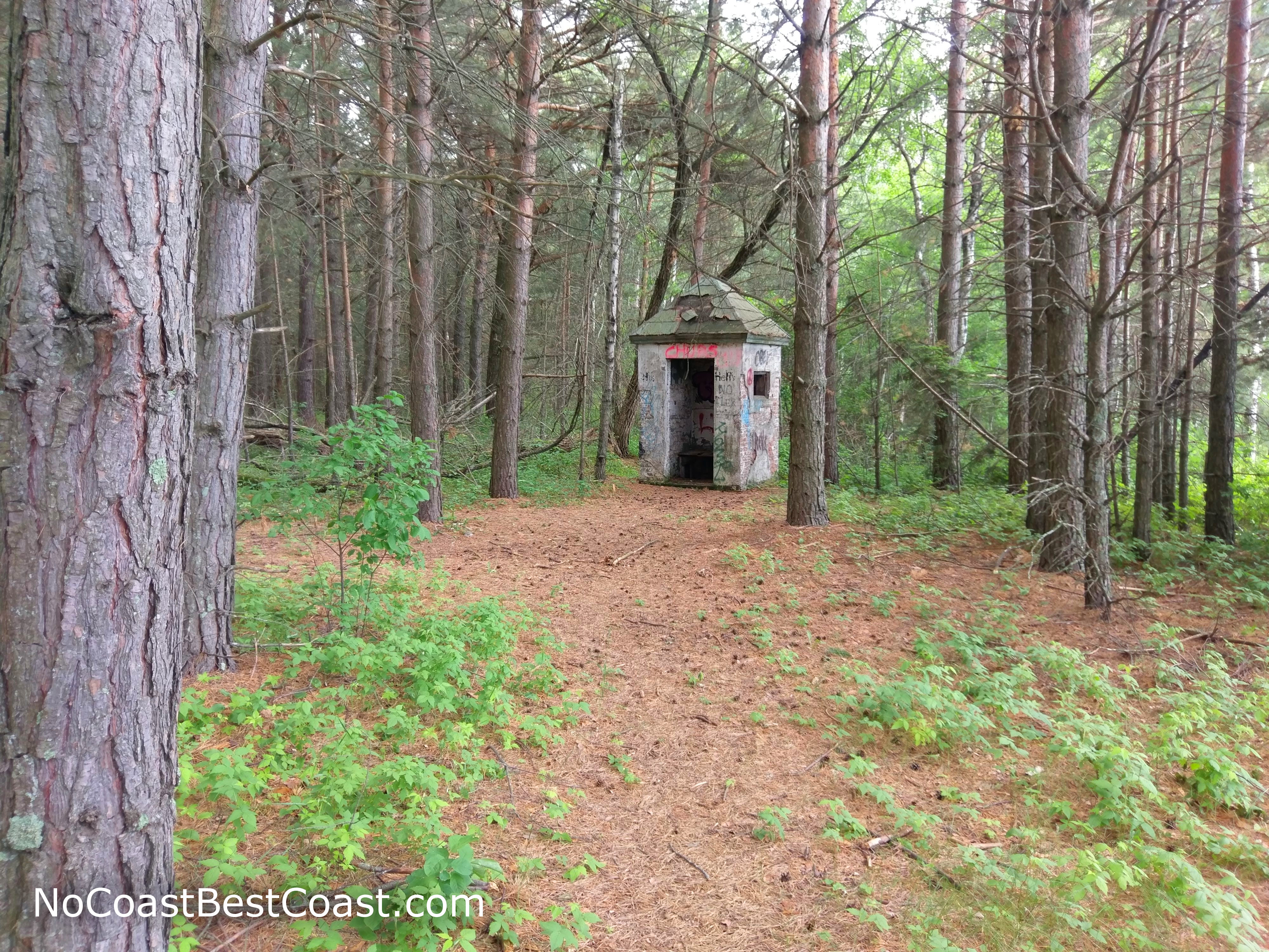
A ruined tower hidden within the sandy grassland
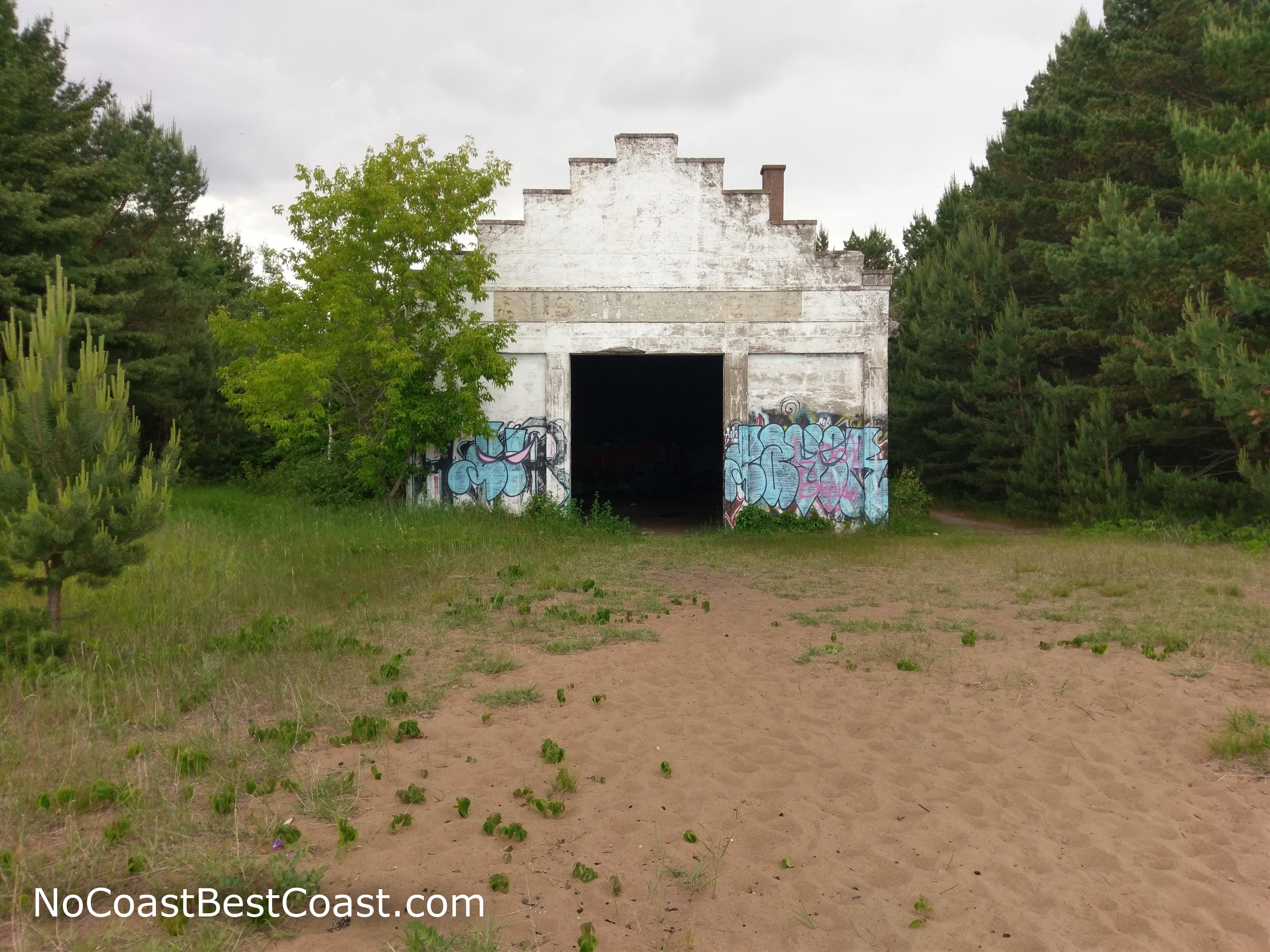
This ruined building is an interesting attraction for urban explorers or graffiti aficionados
Another ruined shack covered in graffiti
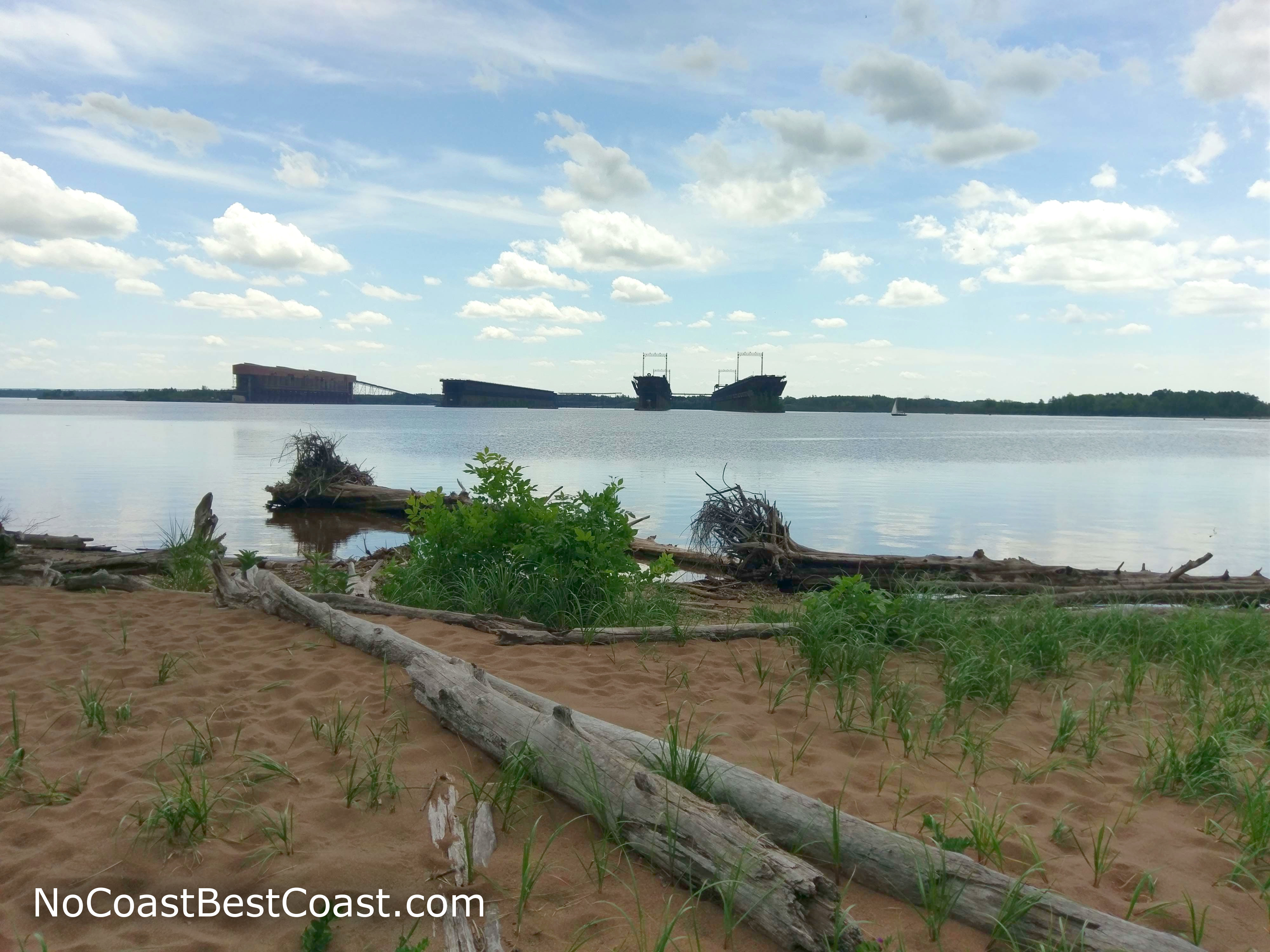
The hulking industrial complex across the bay
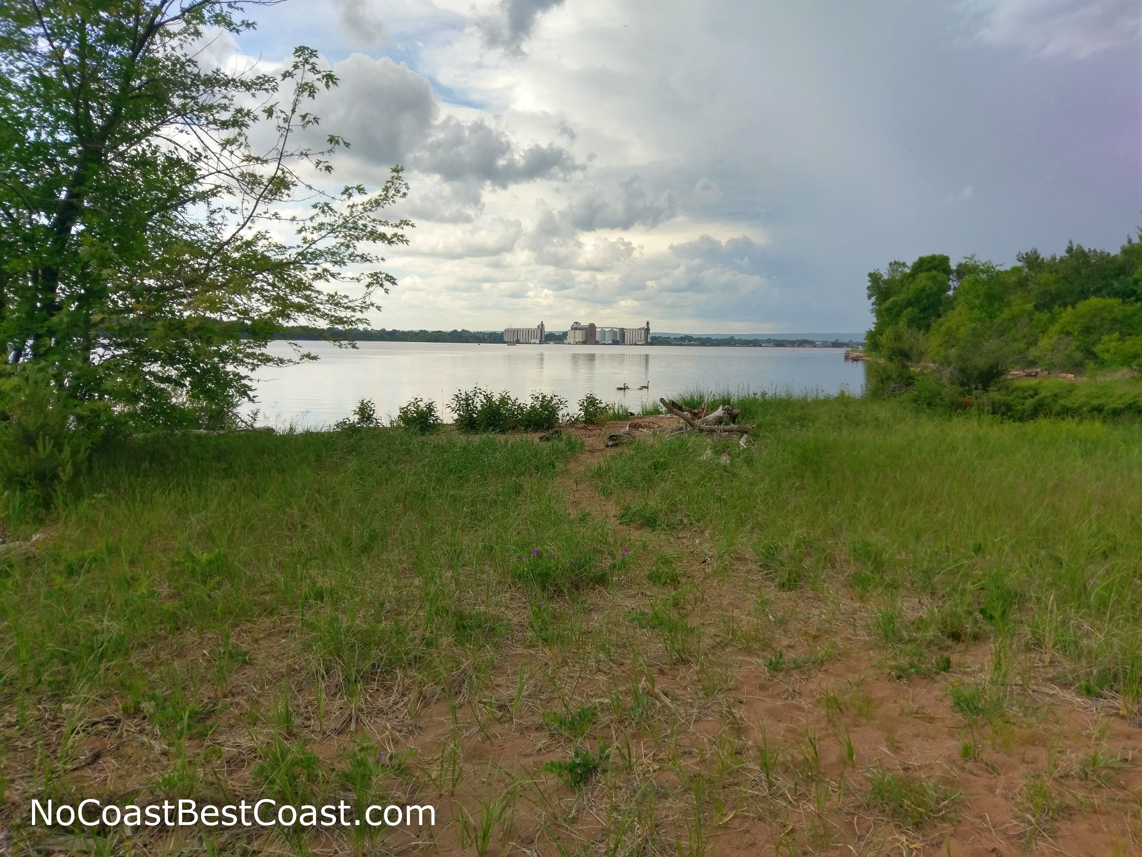
Grain elevators in the distance
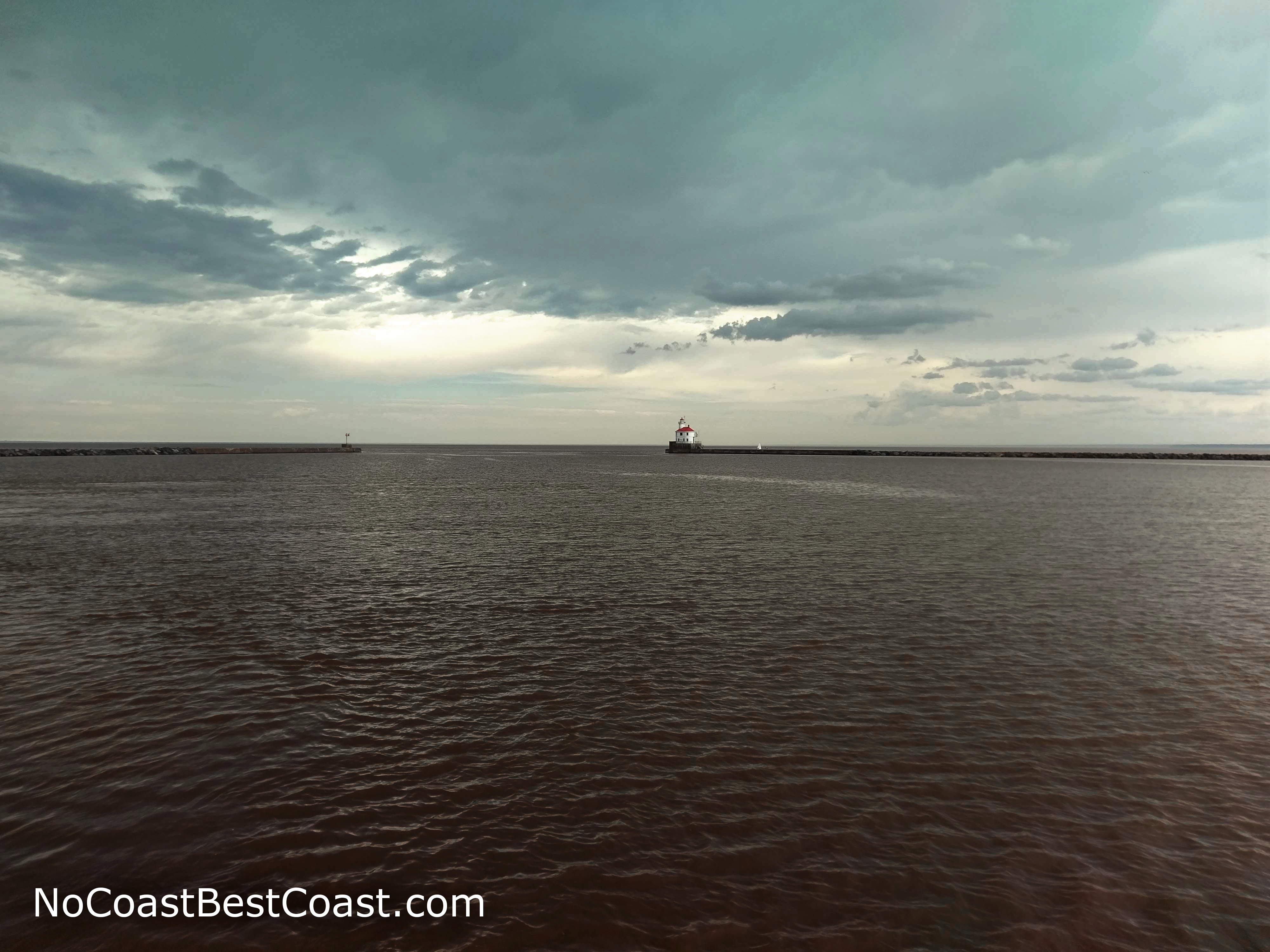
The lighthouse at the end of Park Point
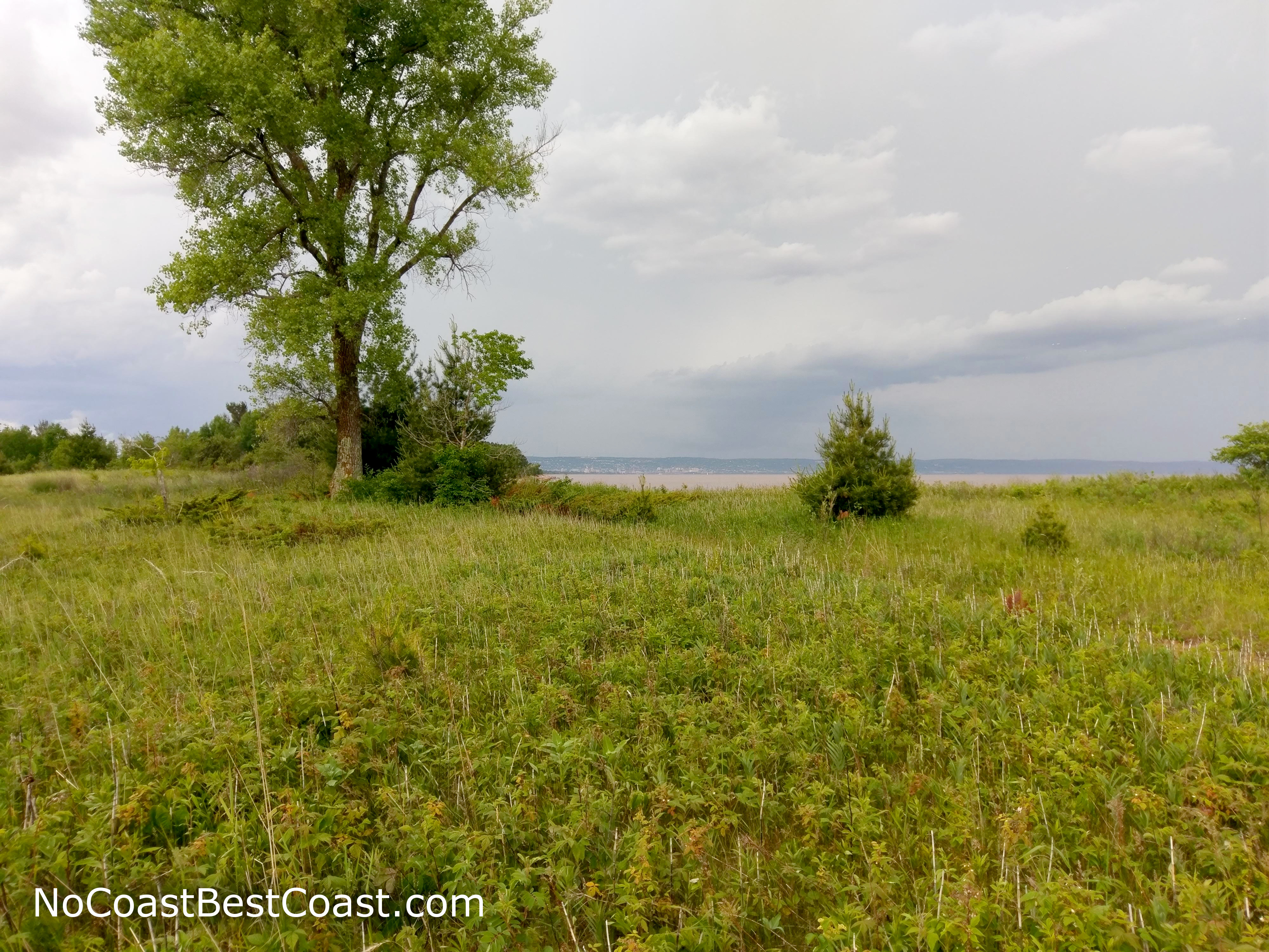
The view of Duluth across Lake Superior from Park Point
Important Information
Dogs are allowed on leash. This hike is too long for most children to endure, but they would definitely enjoy the nearby beaches and developed park as an alternative. You can hike here all year, and I would expect significantly fewer people when it's too cold for the beach. On a summer Thursday, the beaches were alive with people but there were only a handful of others on the trail (mostly high school/college students home for the summer).
Directions
From Interstate 35 in Duluth, take the exit for Lake Avenue and head southeast towards Canal Park. Turn right on Railroad Street, then turn left soon after to continue on Lake Avenue. Continue straight on Lake Avenue, and it will change names to Minnesota Avenue. Park where the road dead ends by the airport.
Google Maps Directions
Parking, Fees, and Facilities
Parking is free! There are no facilities at the parking area by the airport, but there are restrooms and concessions in the nearby Park Point Beach House at the park you passed on your way here.
Nearby Hikes
Lester Park, Minnesota
★★★★☆(4/5)
Jay Cooke State Park, Minnesota
★★★★☆(4/5)
Gooseberry Falls State Park, Minnesota
★★★★★(5/5)
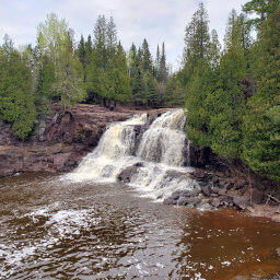
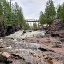
Gooseberry Falls State Park, Minnesota
★★★★★(5/5)