Rating: ★★★★☆(4/5) - Worth a Trip
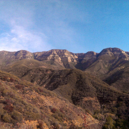
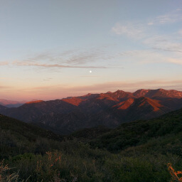
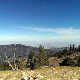
The Los Padres National Forest covers nearly 3,000 square miles of mountainous land in Ventura, Santa Barbara, Kern, San Luis Obispo, and Monterey Counties, including parts of the famously scenic Big Sur coastline. Most of the land consists of chaparral with coniferous forests at the highest elevations (like on Mt. Pinos). Almost half of the land is designated as wilderness, protecting some of the rare species such as the California Condor -- North America's largest bird. Camping options generally lean to the primitive side, but there are a handful of developed sites available.
Hiking trails are abundant throughout the forest, but given the mountainous nature of the land, be prepared for a difficult journey! Some notable peaks worth climbing in the Ventura County portion are Mt. Pinos, Chief Peak, and Hines Peak/Topatopa Bluff. Some easier options include the short hike to Rose Valley Falls or the Punch Bowls along Santa Paula Creek.
Hikes
Los Padres National Forest, California
★★★★★(5/5)
Los Padres National Forest, California
★★★★★(5/5)
Los Padres National Forest, California
★★★★☆(4/5)