| Rating | ★★★★★(5/5) |
| Overall Difficulty | Moderate |
| Navigation Difficulty | Medium |
| Distance | 3 miles roundtrip |
| Time | 2 hours |
| Terrain | A few hills |
| Best Seasons | All |
| Family Friendly | No |
| Dog Friendly | Yes |
| Accessible | No |
Highlights
- Unobstructed views of the surrounding Boundary Waters lakes and forest
- Monolithic rock with strong magnetic attraction
Hike Summary
I had my doubts about this hike before hitting the trail -- three miles of walking just to see some stupid rock? None of the descriptions I read made it sound particularly cool, yet I still chose to do the hike. I'm glad I did it though, since this was one of my favorite hikes of the handful I did along the Gunflint Trail.
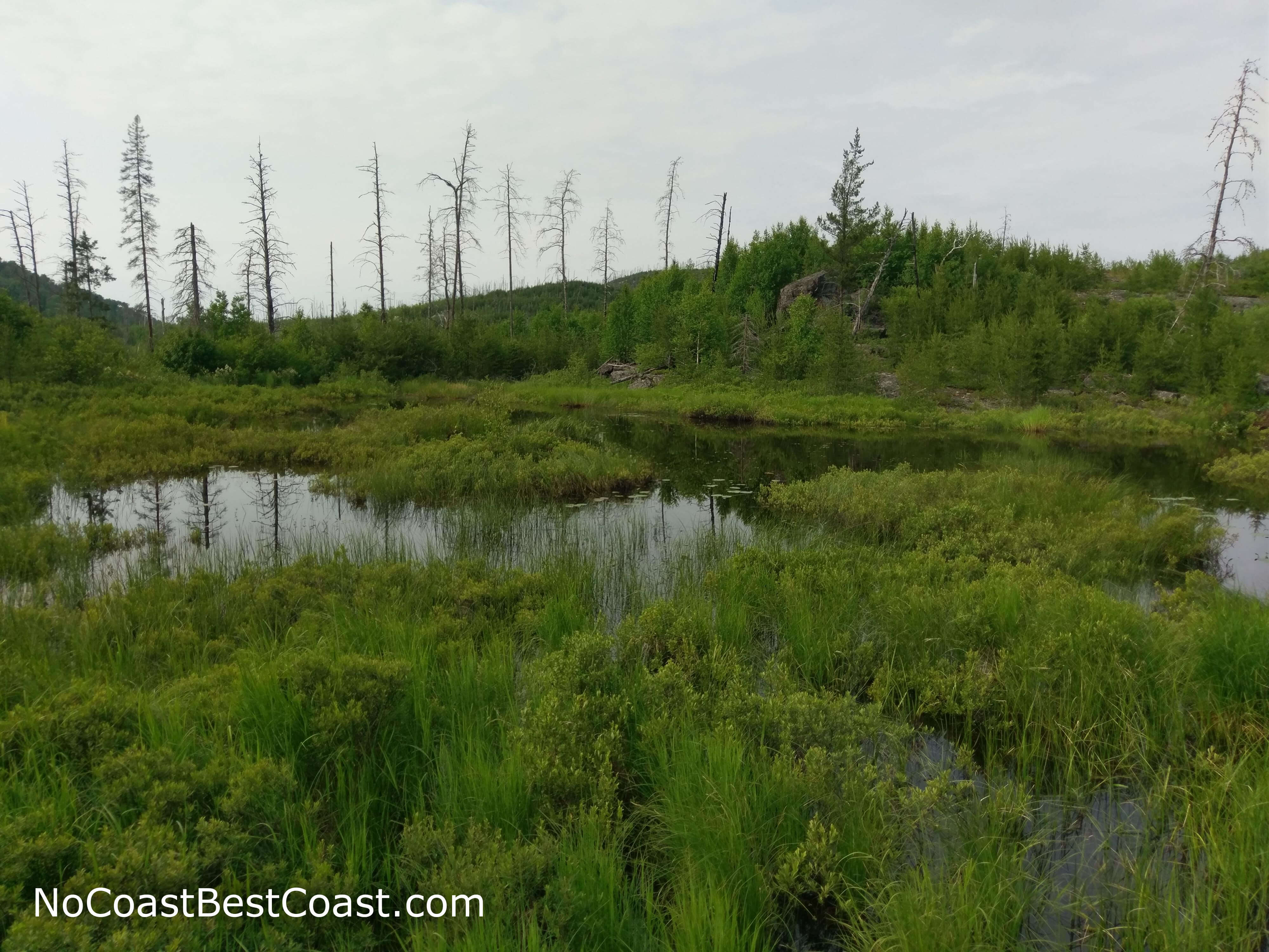
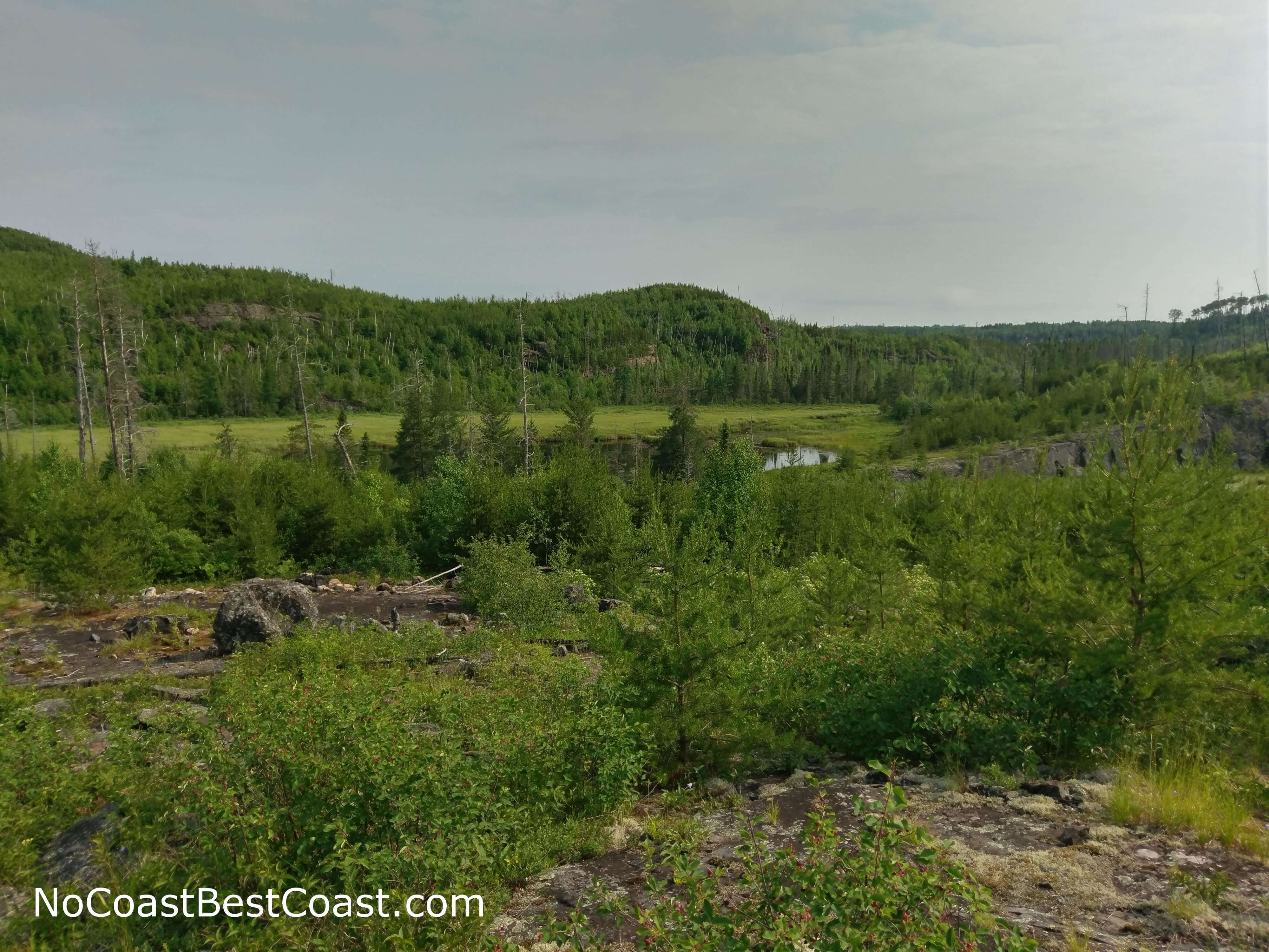
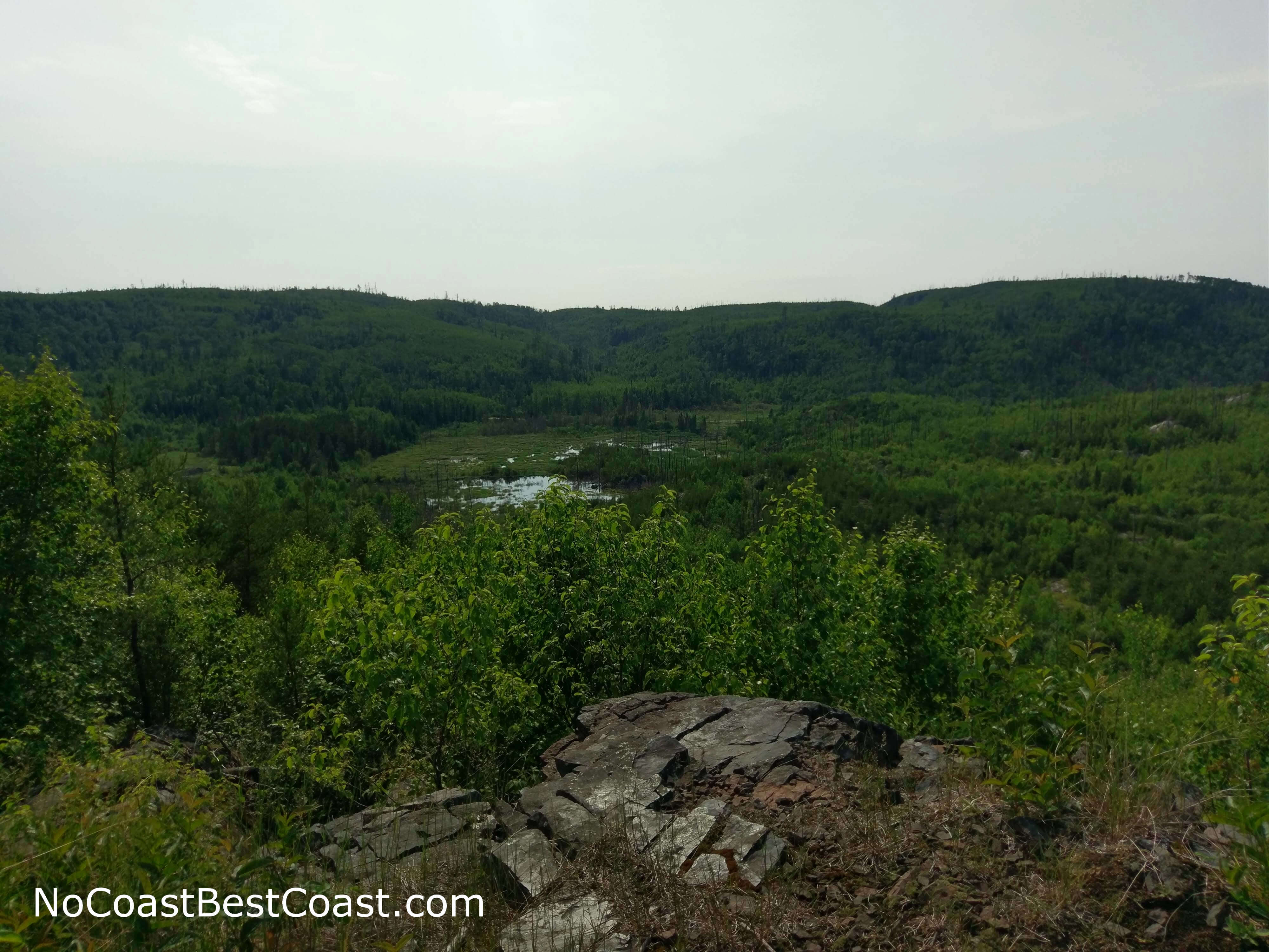
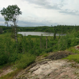
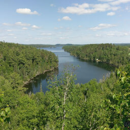
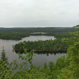
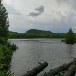
Back in 2007, the Ham Lake fire burned through this area, as you'll probably notice by the stark change in tree cover on the drive here. While the fire eliminated the shady trees on this trail, it also opened long, unobstructed vistas of the beautiful Boundary Waters with lush, green, rolling hills, interesting rock formations, and of course lakes. Looking back at the pictures I took, this hike was the most consistently scenic. At most points on the trail, you can turn your head and see an amazing sight. This scenery is the real star of the hike, as cool as a magnetic monolith might be. My qualms about this hike disappeared shortly into the hike as I saw the scene pictured below.
The beauty of the untamed wilderness
This is one of my favorite views from the trip
The lack of trees really helps you see the interesting topography here
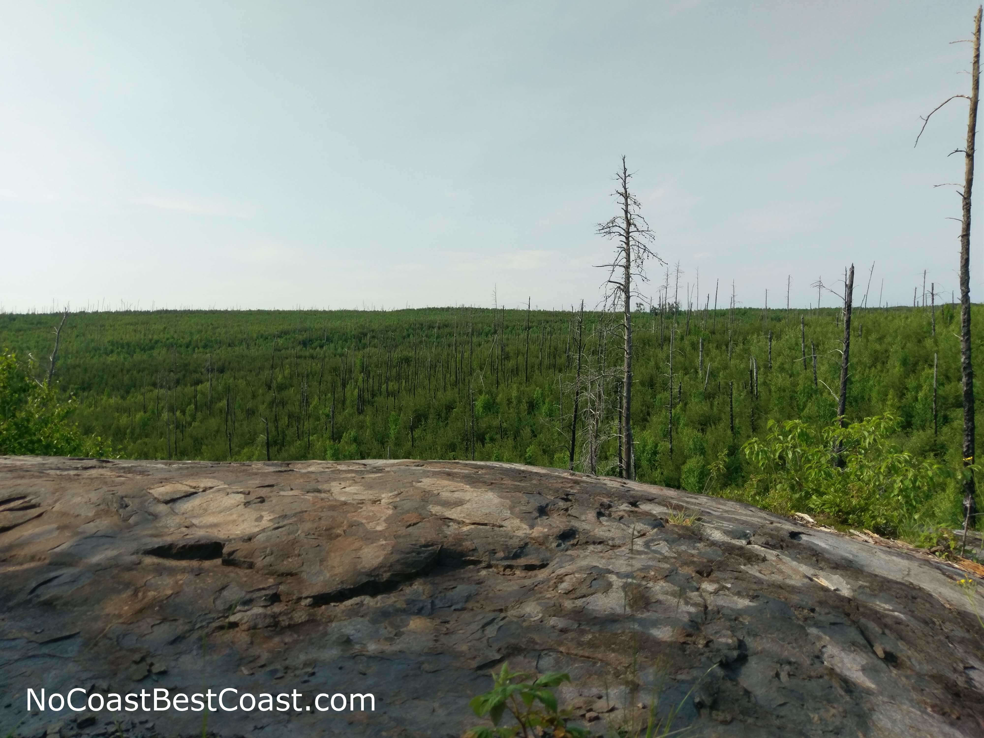
The impact of the 2007 Ham Lake fire is still visible here

This rock was clearly the inspiration for the opening scene of 2001: A Space Odyssey
Important Information
This is a wilderness trail: it's not well maintained, it's overgrown, and routefinding isn't as easy as looking for the wide dirt path cut through vegetation. Wear pants to protect your legs from the plants you will be plowing through (it's so overgrown in places that I often lifted up my arms). Additionally, this trail can be unbearably hot in the summer. Although the thermometer in my car said it was in the low 80s, the lack of shade thanks to the ravages of fire combined with the bare slabs of rock conducting heat made this otherwise short hike rather difficult. I rarely ever finish my 3 liter Camelbak, but I ran out of water near the end of this hike. Bring extra water and wear a hat. Even more importantly, understand the signs of heat related illness and know your own limits.
Dogs are allowed, and regulations don't explicitly state whether or not a leash is required, just that your dog remain "under control". The rugged nature of this wilderness trail means this isn't a family friendly hike; if you have kids, keep driving further down the road to the Chik Wauk Nature Center where there are plenty of easy trails and an educational museum. You can hike here all year, but winter conditions may make navigating the trail difficult. When I went at the end of June, mosquitoes weren't a major issue for me after using bug spray, but my head was constantly bombarded by buzzing flies. Not only is a hat also useful for shade, it also keeps the flies from annoying you (I also tied a bandana over my ears).
Directions
From Grand Marais, drive up the Gunflint Trail (Cook County Highway 12) for about 46 miles. Watch for a brown sign indicating the trailhead for Magnetic Rock, and there will be a dirt pullout with a map kiosk on the right side of the highway where you can park.
Google Maps Directions
Parking, Fees, and Facilities
Parking is free! There are no facilities near the lot.
Nearby Hikes
Superior National Forest, Minnesota
★★★★☆(4/5)
Superior National Forest, Minnesota
★★★★★(5/5)
Superior National Forest, Minnesota
★★★★★(5/5)
Superior National Forest, Minnesota
★★★★★(5/5)