| Rating | ★★★★☆(4/5) |
| Overall Difficulty | Easy |
| Navigation Difficulty | Easy |
| Distance | 0.5 miles roundtrip |
| Time | 30 minutes |
| Terrain | Mostly flat |
| Best Seasons | All |
| Family Friendly | Yes |
| Dog Friendly | Yes |
| Accessible | No |
Highlights
- Interesting bog plants
- Conveniently close access to nature
Hike Summary
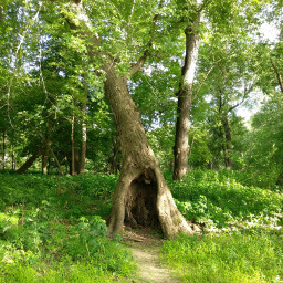
Theodore Wirth Park is like the Central Park of Minneapolis (for reference, it is about 90% of the size of Central Park). This large urban park offers a wide array of recreational activities, from disc golf to mountain biking to archery. There is something for everyone here. On the southern end of the park a short distance from the Eloise Butler Wildflower Garden, you'll find Quaking Bog and a network of hiking, mountain biking, and cross country ski trails. While the trip to the bog and back is only a half-mile long, you're free to choose your own adventure on the connecting trail network.
To start the hike, head southwest from the parking area and carefully cross the mountain bike trails. This area is well-signed and you will be able to tell which trails are for bikers and which are for hikers (beyond just looking for footprints or tire treadmarks on the ground). Continue straight for a short distance, the turn right when the trail splits. You'll know you're on the right track when you see the bridge pictured below and a plastic boardwalk beneath your feet.

The start of the boardwalk into Quaking Bog

This mushroom is just one of the unique sights you'll see in the bog
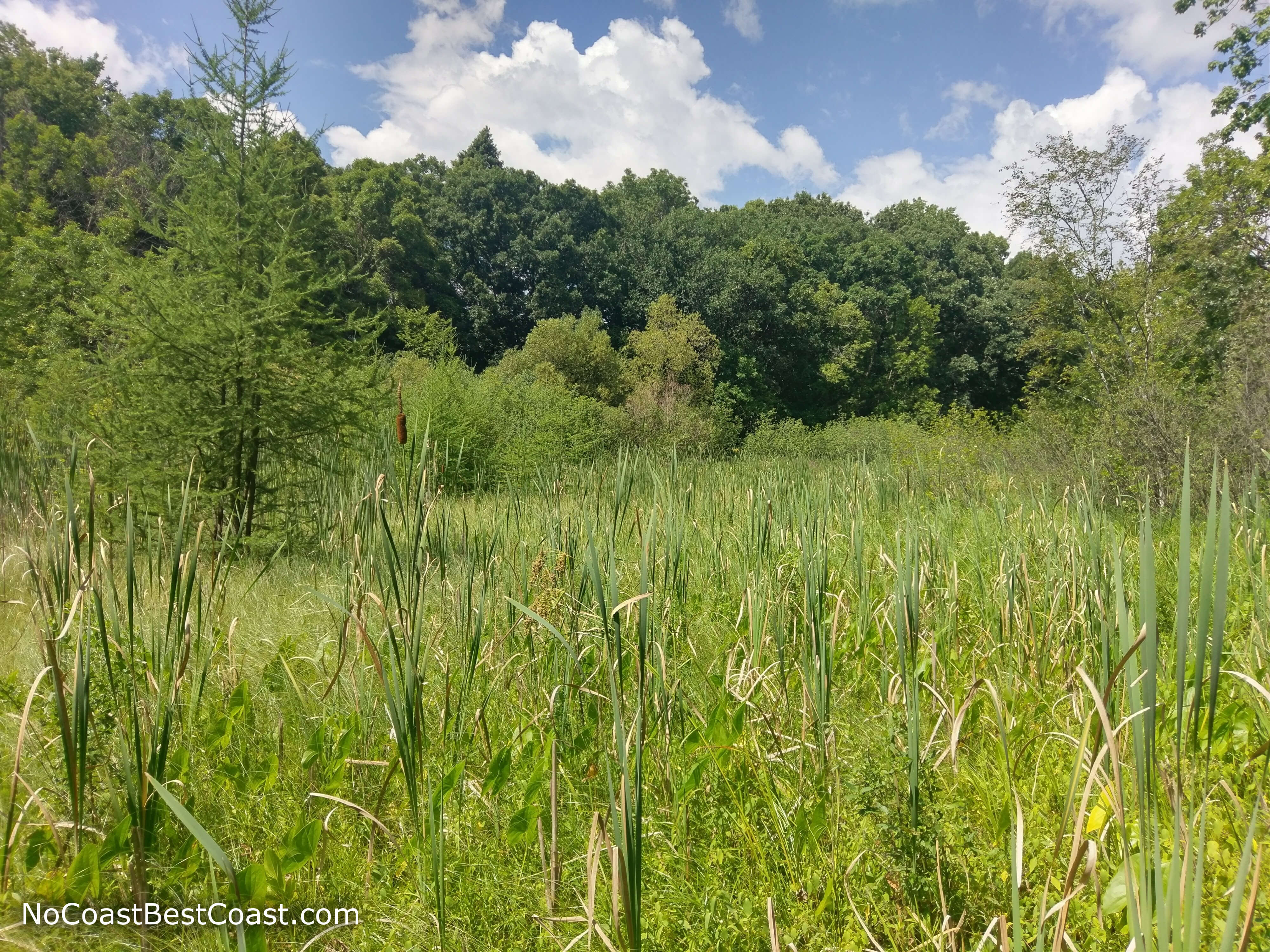
Cattails and tamarack on a sunny day
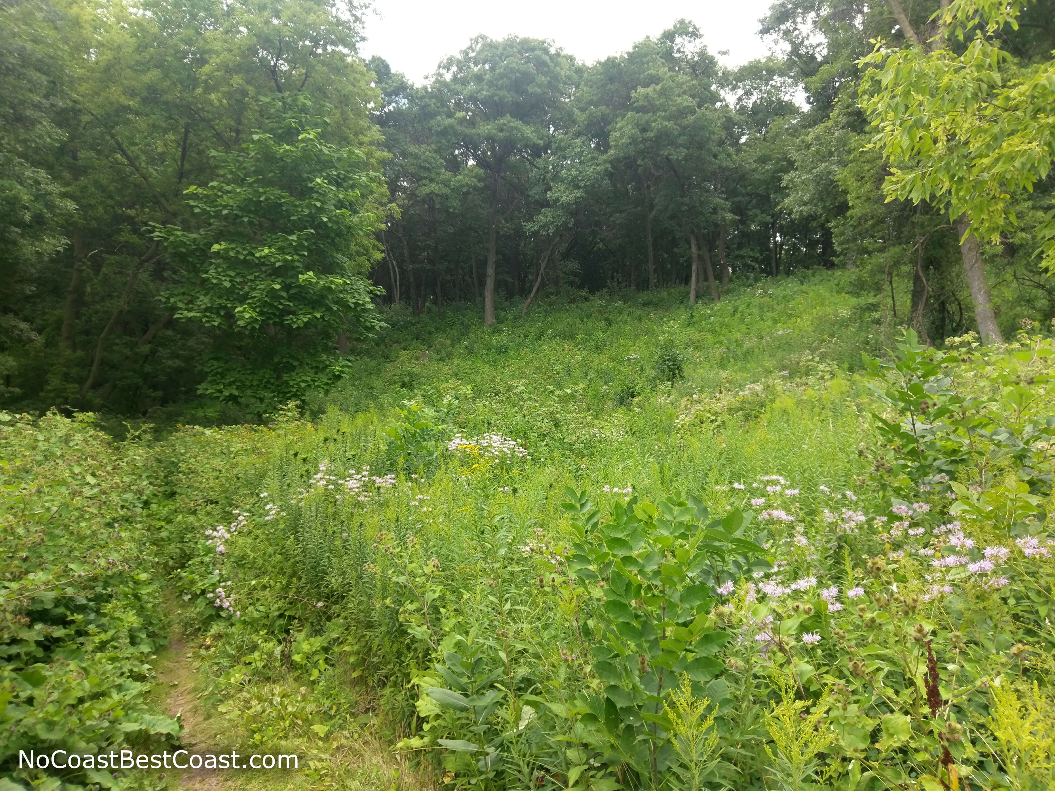
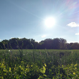
Flowers and forest in Theodore Wirth Park
Important Information
Dogs are allowed on leash. This short hike is perfect for kids, and they'll enjoy bouncing on the plastic boardwalk. You can hike in Quaking Bog all year, enjoying the seasonal changes in scenery without having to travel far from the city. This is a pretty popular place, especially for mountain bikers, so expect to encounter others on the trip.
Directions
By Bike
The trailhead is just off the Cedar Lake Trail and has connections to many other great bike facilities. Thanks to the glorious bike network, the majority of you ride can be on trails separate from the road. From Northeast or North Minneapolis, this trail connects with bikes lanes on Plymouth Avenue and Lowry Avenue (the trail might have a different name, but it runs along the side of Theodore Wirth Parkway). From the Midtown Greenway, take the Burnham Trail (there is a lime green fix-it station at this intersection), then turn left at the intersection with Cedar Lake Parkway, cross the railroad tracks, and follow the trail along Cedar Lake. When the trail splits, head uphill on the narrow trail, then cross the street at the light to continue on the trail to your destination. From Downtown Minneapolis or St. Louis Park, take the North Cedar Lake Trail to the Cedar Lake Trail, then head north to your destination. Given the ambiguous and constantly changing nature of trail names, you can check your route by clicking the Directions link to Google Maps below, then select bicycle as your means of transport. There aren't any bike racks here, but there are plenty of parking meters for you to lock your bike.
By Car
Given its central location in the Twin Cities metro, how you get here really depends on where you are coming from. Click the directions link to Google Maps below, then enter your starting point. The parking lot is on the west side of Theodore Wirth Parkway and has a sign for Quaking Bog.
Google Maps Directions
Parking, Fees, and Facilities
Each space in this small paved lot has its own parking meter. These are the oldschool coin operated type, so make sure to bring quarters! An hour should be more than enough for a hike to the bog and back, but more might be necessary if you want to explore the other trails. There are no amenities at this lot.
Nearby Hikes
Westwood Hills Nature Center, Minnesota
★★★☆☆(3/5)
Hidden Falls Regional Park, Minnesota
★☆☆☆☆(1/5)
Tony Schmidt Regional Park, Minnesota
★★★☆☆(3/5)
Fort Snelling State Park, Minnesota
★★★★☆(4/5)