| Rating | ★★★★☆(4/5) |
| Overall Difficulty | Moderate |
| Navigation Difficulty | Easy |
| Distance | 5 miles roundtrip |
| Time | 2.5 hours |
| Terrain | Hilly |
| Best Seasons | Spring, Summer, Fall |
| Dog Friendly | Yes |
| Accessible | No |
Highlights
- Climb to top of the third highest point in Michigan at 1958 feet above sea level
- Observation tower with tremendous views above the forest canopy
- Quiet lake perfect as a lunch spot
Hike Summary
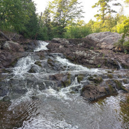
Summit Peak is the third highest point in Michigan, so it is definitely a worthwhile endeavor to conquer this climb. Although I have given this hike only 4/5 stars, I suspect that if the weather would have cooperated during my visit, the view from the top of the observation tower would have boosted the rating an additional star. Even so, the other parts of this hike are beautiful -- there is something magical about the forest in the Porcupine Mountains that just doesn't feel the same as other forest in northern Wisconsin or Minnesota. Don't let my dark, cloudy pictures scare you away. This is definitely a must-do hike if you are in the Porcupine Mountains.
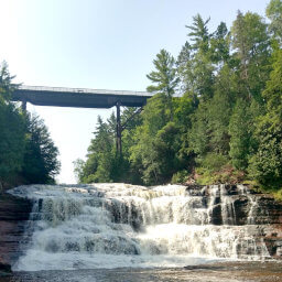
When I originally did this hike, I climbed straight to the top of Summit Peak, then after arriving and having more energy, decided to do the loop described here. I suggest going the opposite direction I did so you end at Summit Peak, saving the best part for later. Otherwise, you finish after a long hike through nothing but dense forest and feeling of "Am I done yet?". From the parking lot, head west on the flat Beaver Creek Trail rather than ascending the route to Summit Peak. You will cross a marshy area that may or may not look like the photo below, then the trail will end at a T intersection. Turn right here to take the Little Carp River Trail heading northeast.
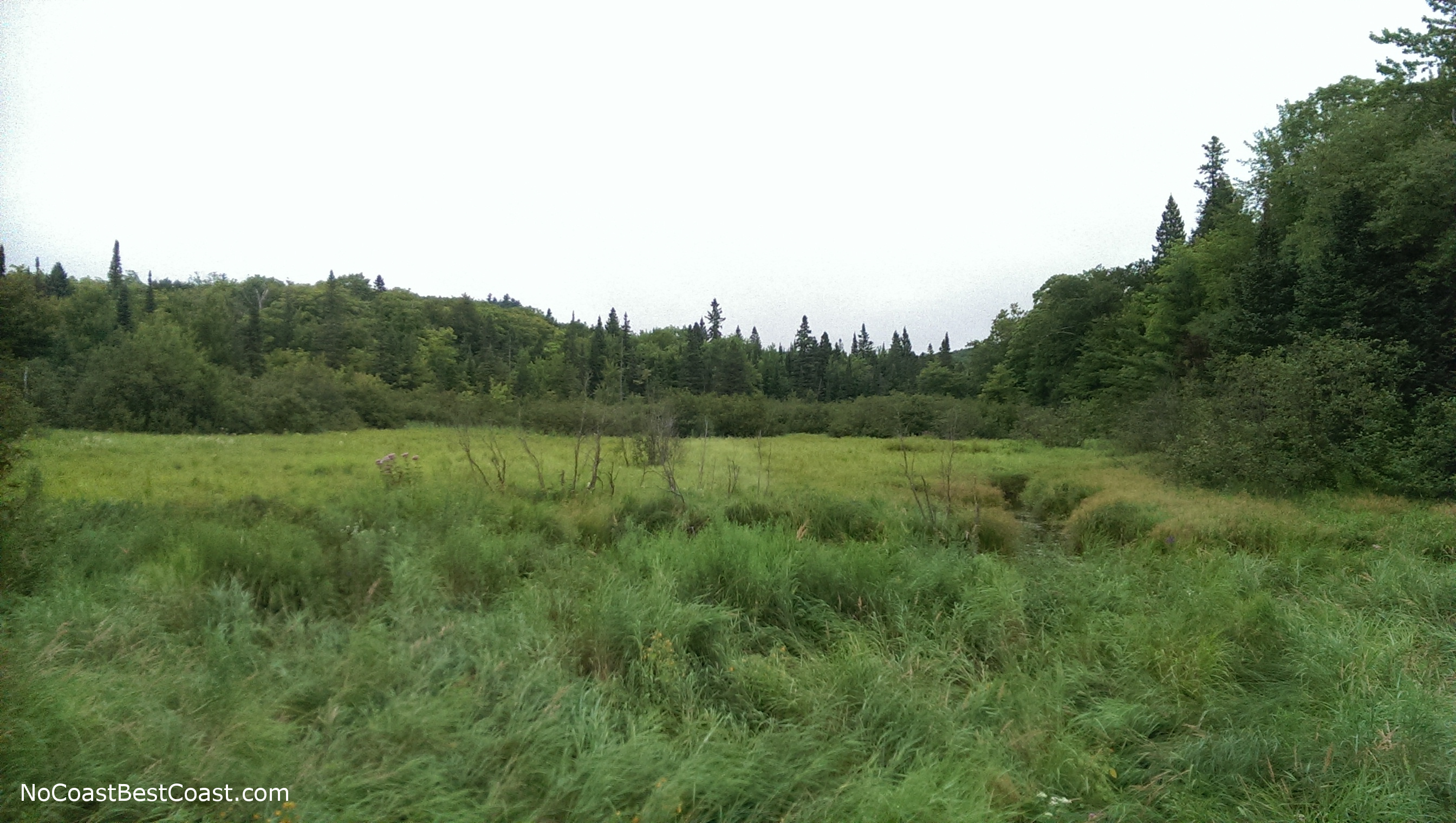
The marshlands on the Beaver Creek Trail
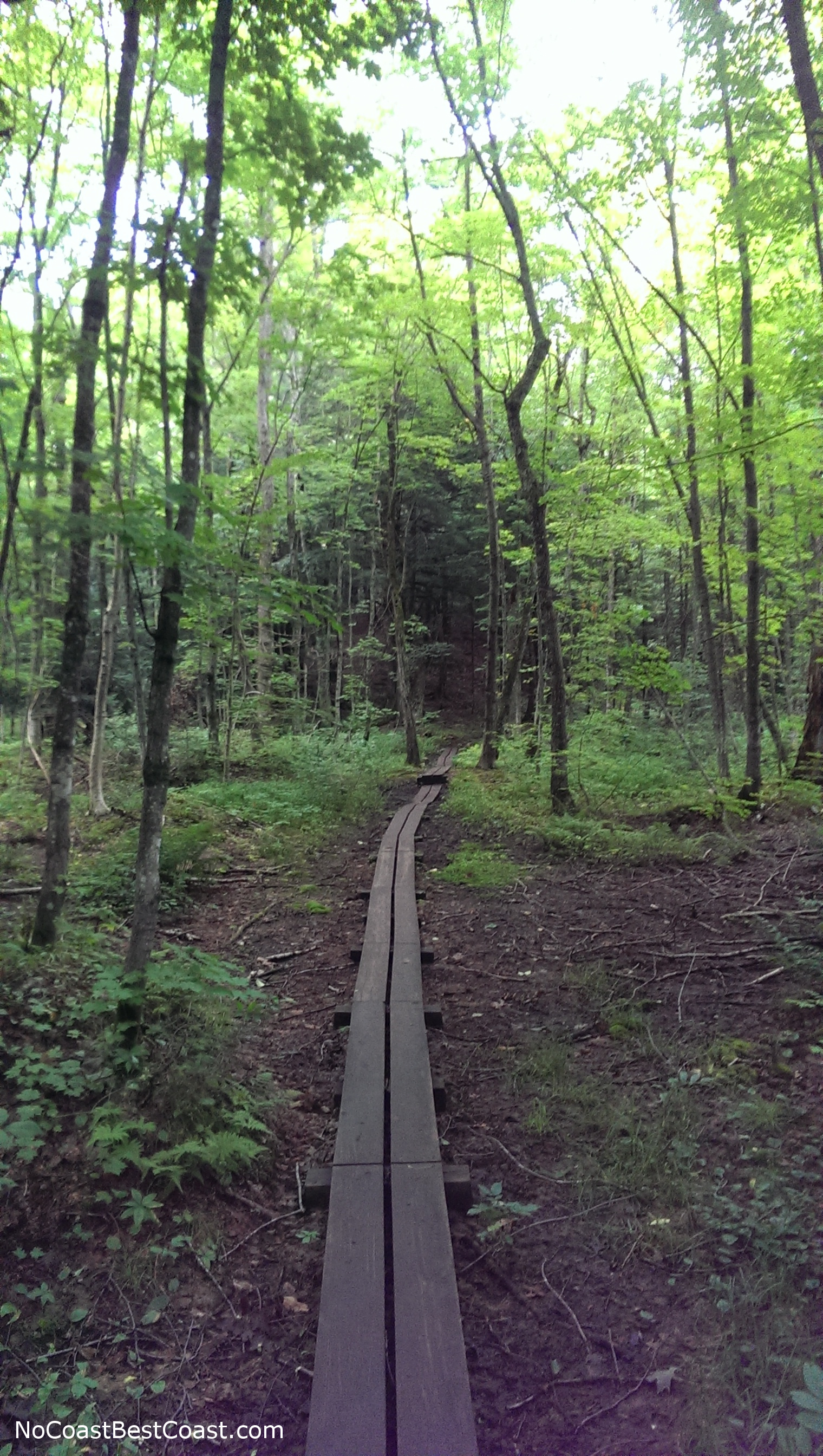
Boardwalks along the trail
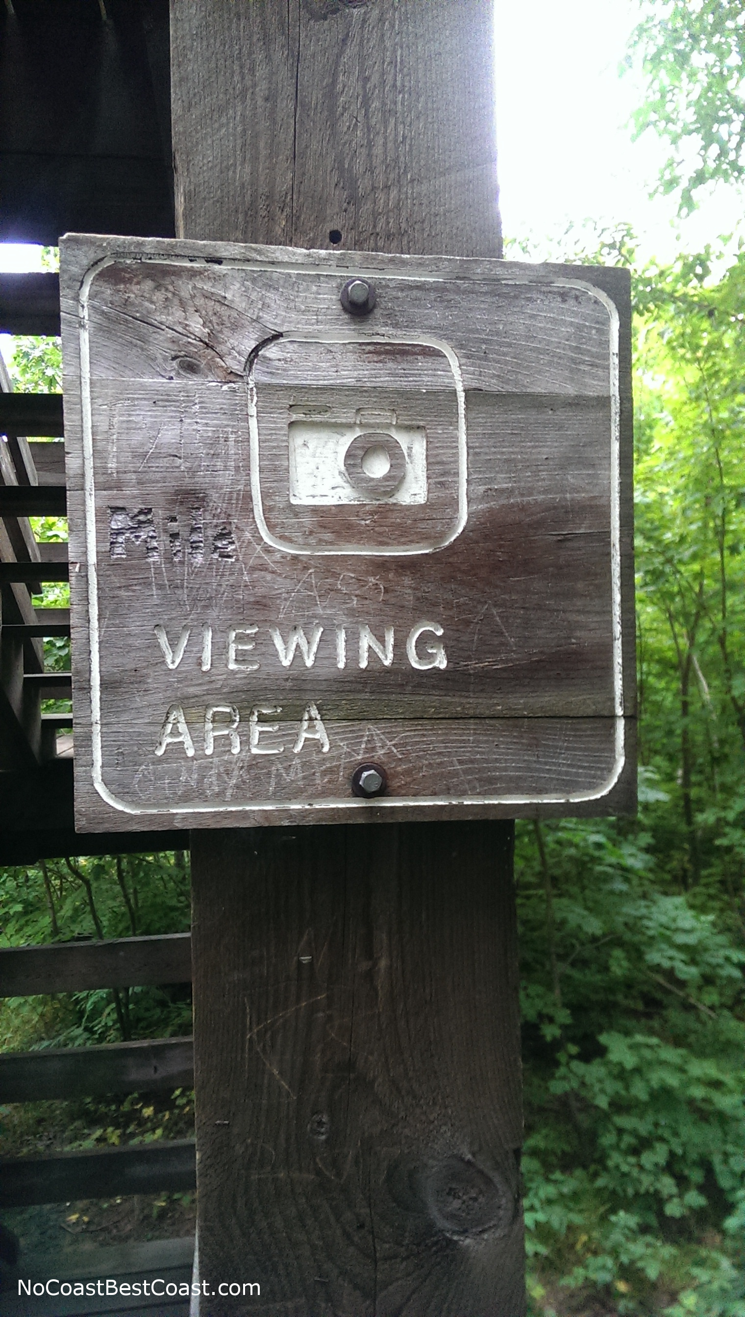
The inspiration for the Instagram logo probably originated from this sign at the base of the observation tower

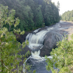
My cloudy view from the top of Summit Peak's observation tower
Hiked on Friday, August 12th, 2016 by Ricky Holzer
Important Information
I hiked this trail on a Friday afternoon, and there were not many people on the trail. Weekends are most likely busier, but given the remoteness of this park, I wouldn't expect a huge crowd. Dogs are allowed on leash. This entire loop is probably too long for most children; however, the observation tower on top of Summit Peak only requires a 1 mile roundtrip hike if you go directly there and back -- doable for kids if you take your time on the ascent. The only other note for this hike is to bring lots of bug spray and a rain jacket in case one of the frequent light drizzles occurs. In July and August, expect biting flies in addition to mosquitos, so wear pants and long sleeves unless it is oppressively hot.
Directions
The Porcupine Mountains are in a remote part of the Upper Peninsula of Michigan, so be prepared for a long drive. You will need to enter the park from the east so you can pay the fee at the Park Headquarters. Take Michigan Highway 64 north to Silver City, then turn left on Lincoln St (107th Engineers Memorial Highway). Turn left on Boundary Road and look for a sign for the Park Headquarters. Turn right onto Headquarters Rd, pay your fee, then return to Boundary Rd and turn right. Now enjoy a long drive on a winding road through the wilderness. Watch for a sign for Summit Peak, then turn right onto Summit Peak Rd. Continue until the road ends at a parking lot.
Google Maps Directions
Parking, Fees, and Facilities
Stop by the Vistor Center and Park Headquarters to pay the vehicle fee. Michigan residents can purchase a Recreation Passport for $11, and it is good for an entire year. Non-residents may purchase a daily pass for $9, or an annual pass for $32. More details here.
Nearby Hikes

Porcupine Mountains Wilderness State Park, Michigan
★★★★★(5/5)
Ottawa National Forest, Michigan
★★★★★(5/5)
Ottawa National Forest, Michigan
★★★★★(5/5)
Ottawa National Forest, Michigan
★★★★★(5/5)