| Rating | ★★☆☆☆(2/5) |
| Overall Difficulty | Easy |
| Navigation Difficulty | Easy |
| Distance | 1.8 miles roundtrip |
| Time | 1 hour |
| Terrain | Hilly, 200 feet of elevation gain |
| Best Seasons | All |
| Dog Friendly | Yes |
| Accessible | No |
Highlights
- Attaining the highest elevation in Louisiana
- Learning about the history of the area
Hike Summary
Driskill Mountain is yet another unique stop along the journey to visit every state highpoint and is the third lowest of all state highpoints after Florida and Delaware at a mere 535 feet above sea level. Of the 4 Gulf Coast highpoints, Louisiana's is the only one that requires a hike -- for the others you simply drive to the top and walk a few feet to the monument. The coolest part of Driskill Mountain is the history, namely the fact that much of the land on the hike is still in possession of the Driskill family.
Once you park next to the church, the trail to Driskill Mountain is clearly marked on the left side of the cemetery. Follow this dirt road for a while until a sign directs you to a trail on the left side of the road. At a couple places during the hike, watch for small signs that let you know more about the area's history. You'll learn that the land here has been owned by the Lou Jones Family for over 130 years, dating back to a Bienville Parish tax assessor in 1883. Another sign recognizes Melba Driskill-Krejsa, the great-great-grandaughter of James Christopher Driskill who is the namesake of the mountain, for contributing a portion of the trail.
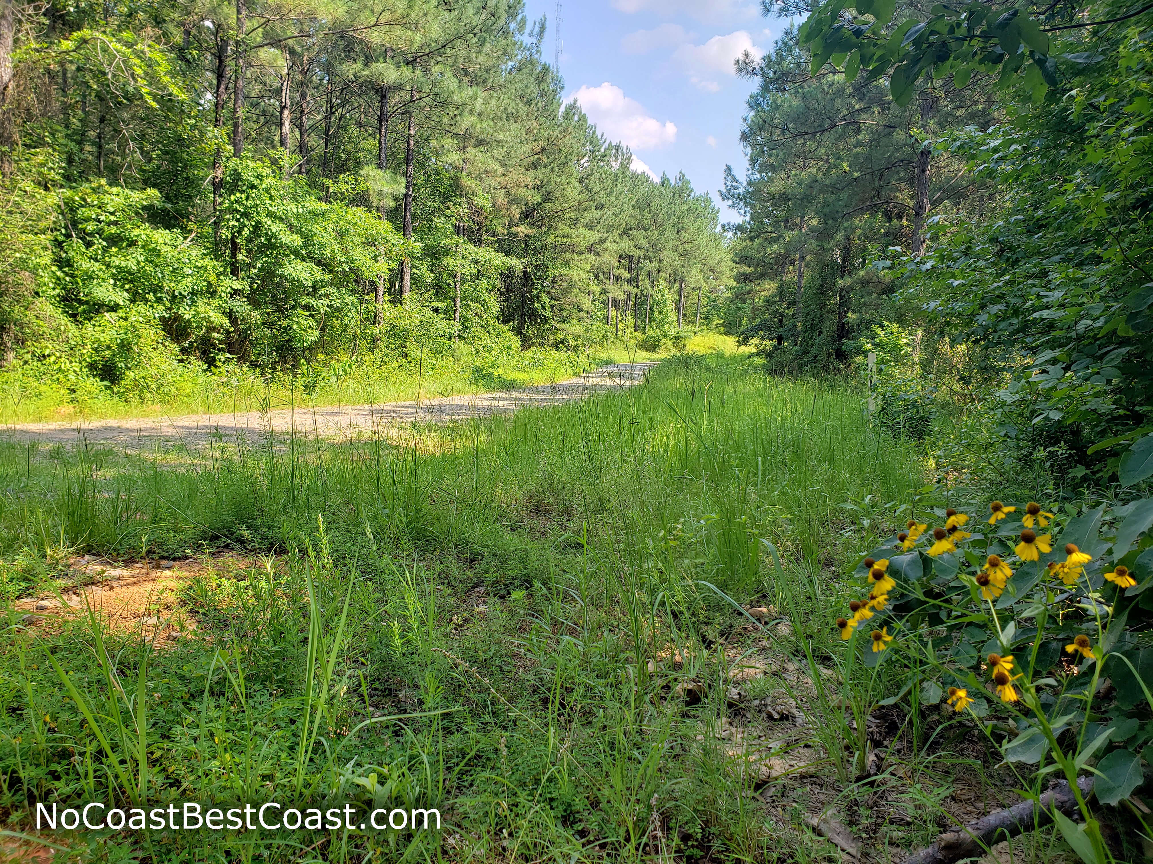
Wildflowers blooming alongside the dirt road where it intersects with the trail
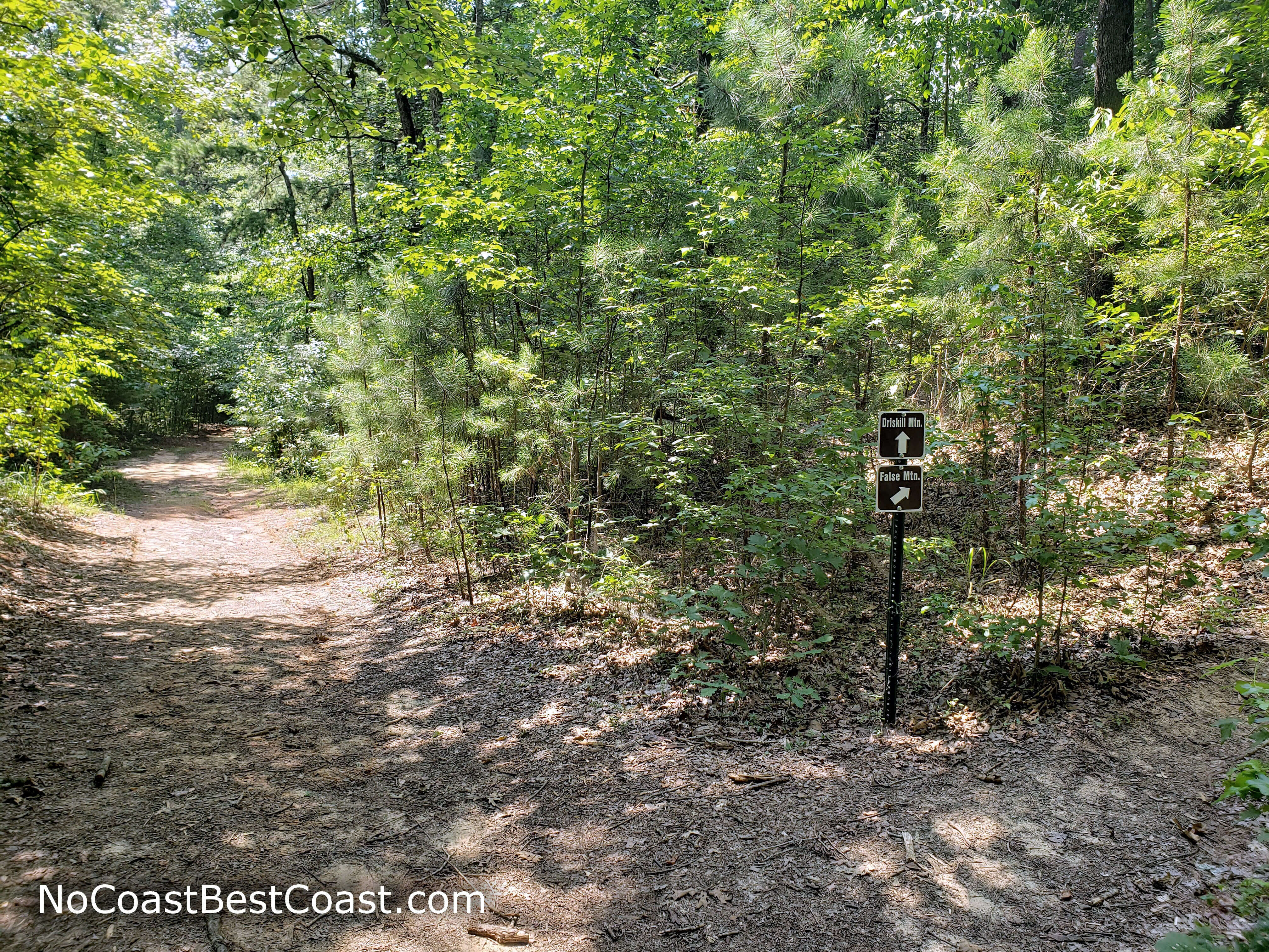
The well-marked fork in the trail
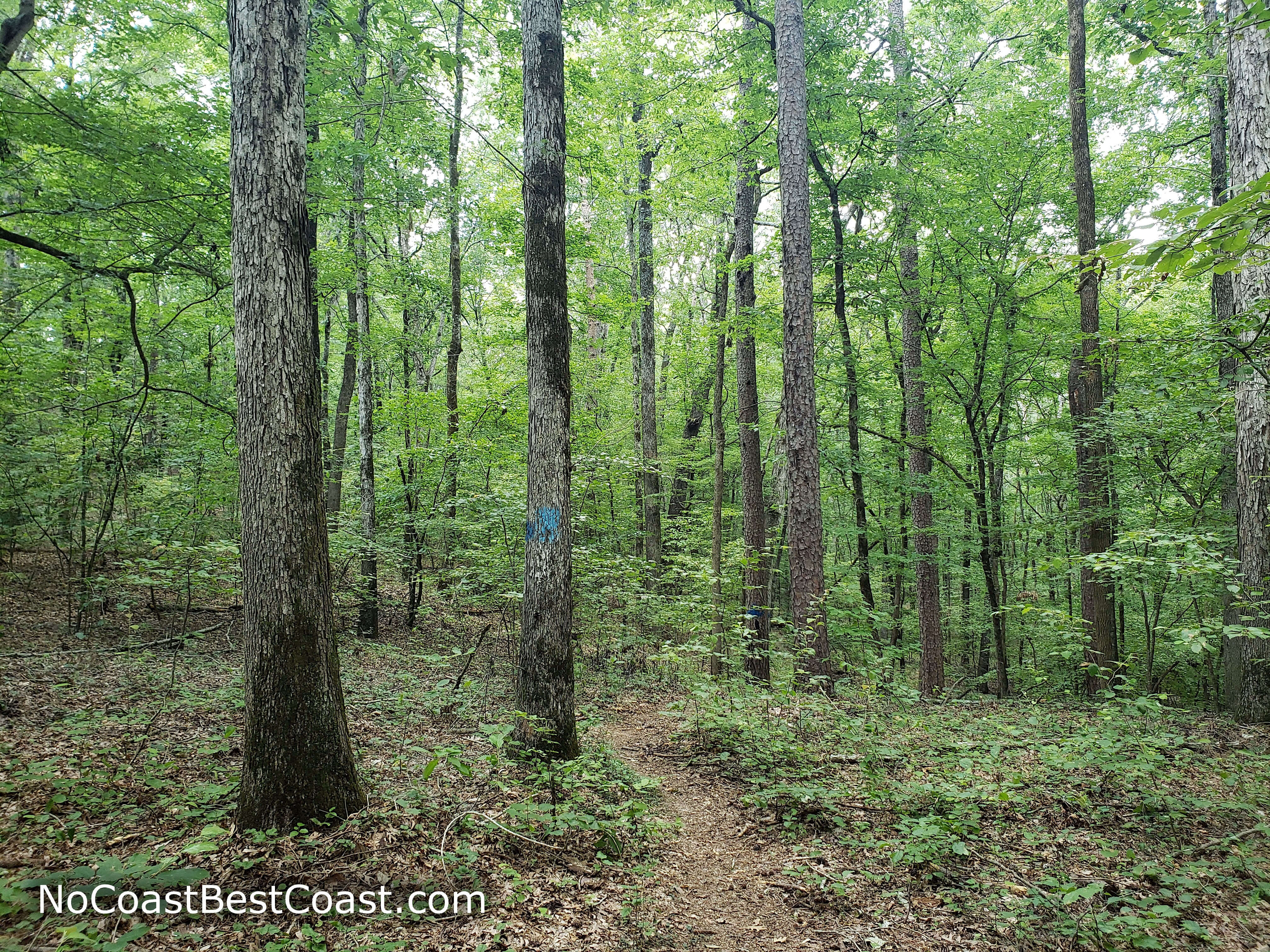
Spray-painted blue dots on trees mark the trail over False Mountain
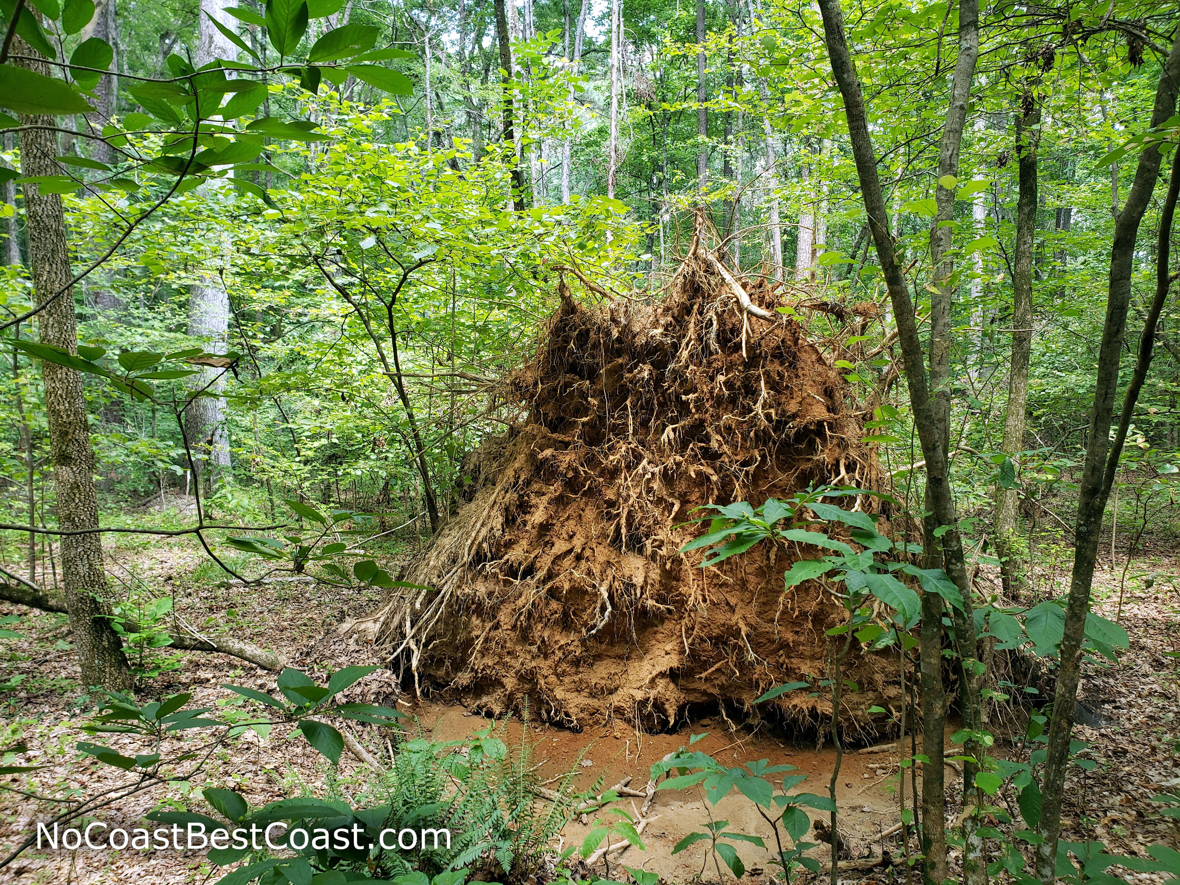
The massive root system of a fallen tree adjacent to the trail
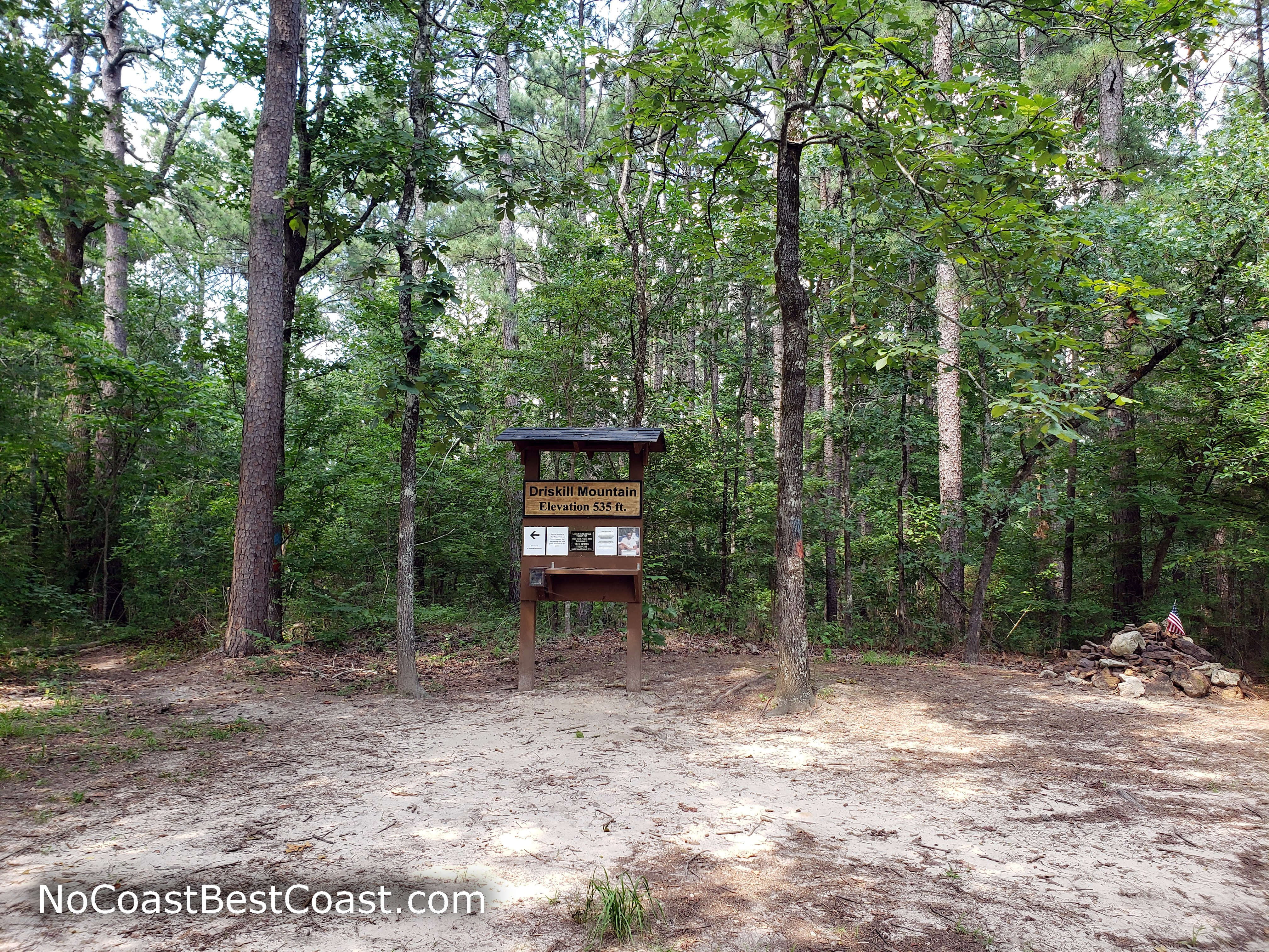
The summit marker on Driskill Mountain

Benches near the overlook of Jordan Mountain
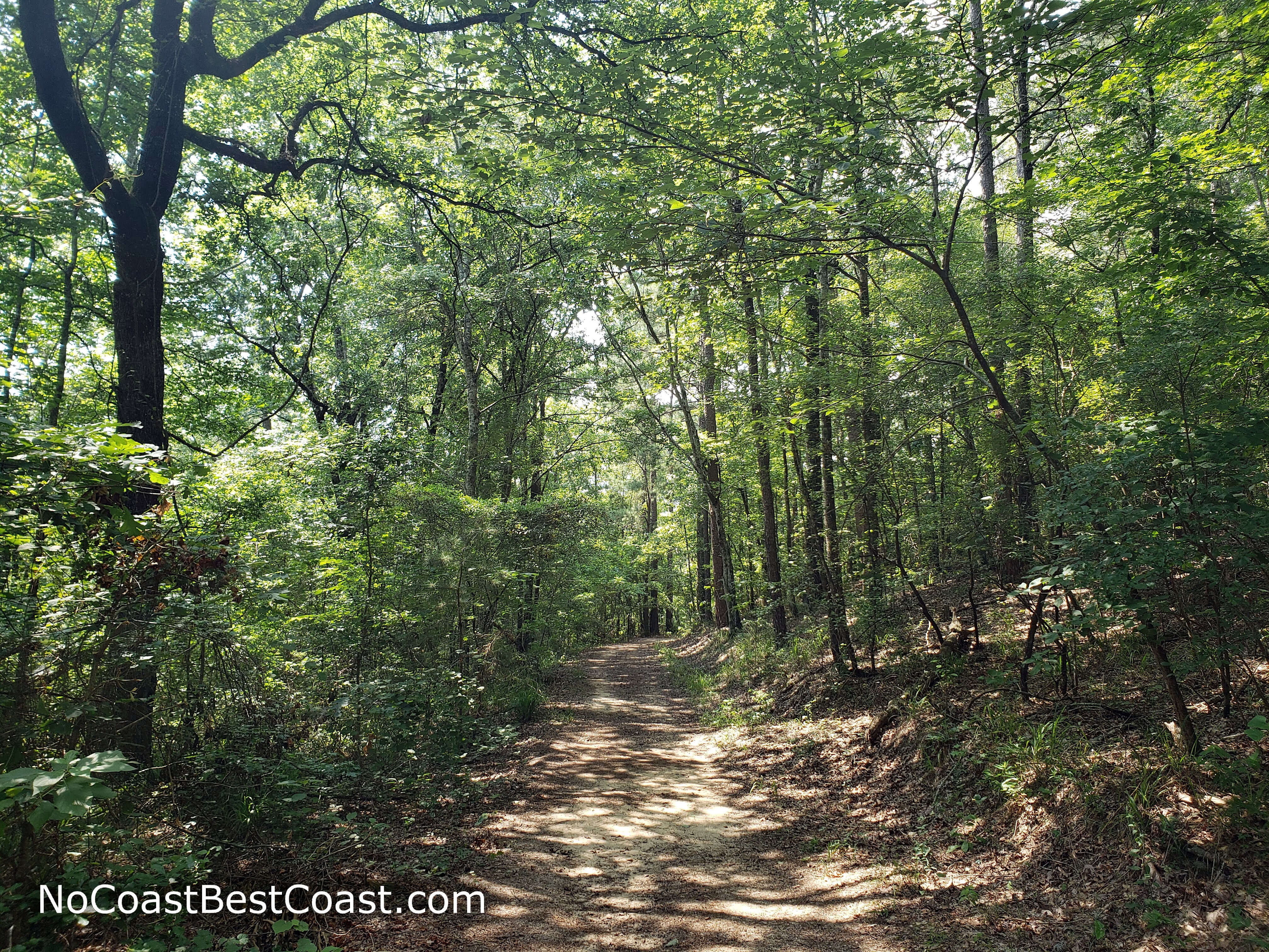
The forested main trail on the descent
Hiked on Friday, June 19th, 2020 by Ricky Holzer
Important Information
The entirety of this hike is on private property. Please ensure we can continue to enjoy access to this state highpoint by picking up after yourself and your pet and remaining on the designated trails. While there are no rules about dogs on the trail, using a leash is preferable to keep your dog from wandering off the trail.
Directions
From Shreveport, take Interstate 20 east and take the exit for Louisiana Highway 9 towards Arcadia, then turn right. Turn right to stay on Louisiana Highway 9, then turn left onto 2nd Street at the T-intersection. Turn right onto Hazel Street, then turn left onto Louisiana Highway 147/Jonesboro Road. Make a slight right onto Louisiana Highway 797, then turn right onto Louisiana Highway 507. Park in the dirt lot for Mt. Zion Presbyterian Church on the right side of the road.
Google Maps Directions
Parking, Fees, and Facilities
Parking is free! There are no facilities here.