| Rating | ★★★★☆(4/5) |
| Overall Difficulty | Easy |
| Navigation Difficulty | Easy |
| Distance | 1.2 miles roundtrip |
| Time | 30 minutes |
| Terrain | Mostly flat |
| Best Seasons | Spring, Fall, Winter |
| Dog Friendly | No |
| Accessible | No |
Highlights
- Stunning striped cliffs and rock formations
- Excellent desert scenery
Hike Summary
Two hours from LA and highway adjacent, the Hagen Canyon Nature Trail is a quick, easy hike that is perfect as a stop on a trip to the Owens Valley, Death Valley, or Eastern Sierra. The park is a popular Hollywood filming destination -- particularly for westerns, but it was also used for Jurassic Park -- so you may recognize the unique cliffs and rock formations along this trail. While it won't take long for you to complete the loop, the scenery is still quite memorable.
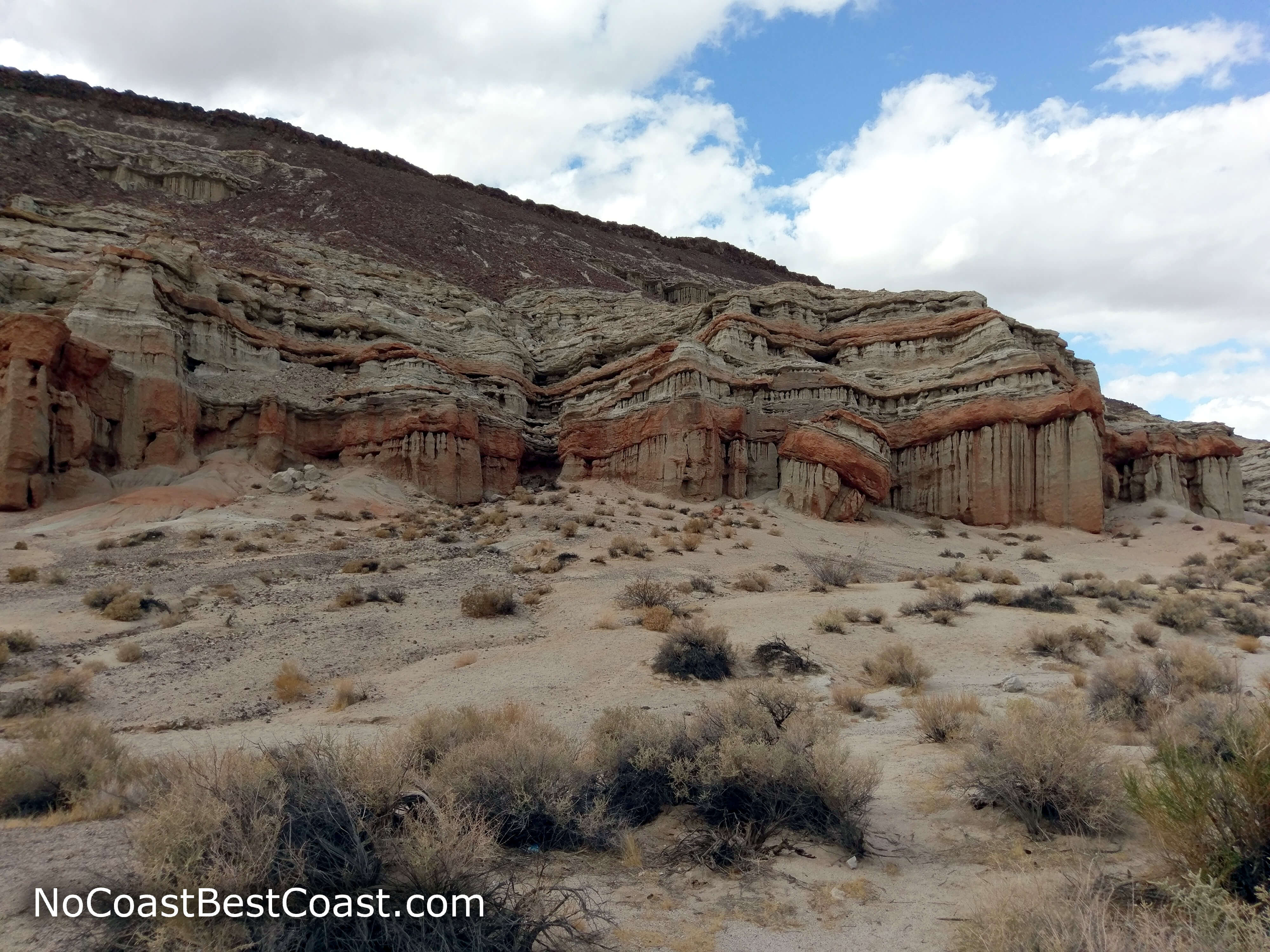
The trail forms a short lollipop loop. From the parking lot, follow the path lined with rocks on each side. To the right, you'll see the fascinating cliffs pictured below. When the trail splits, you can choose to do the loop in either direction.
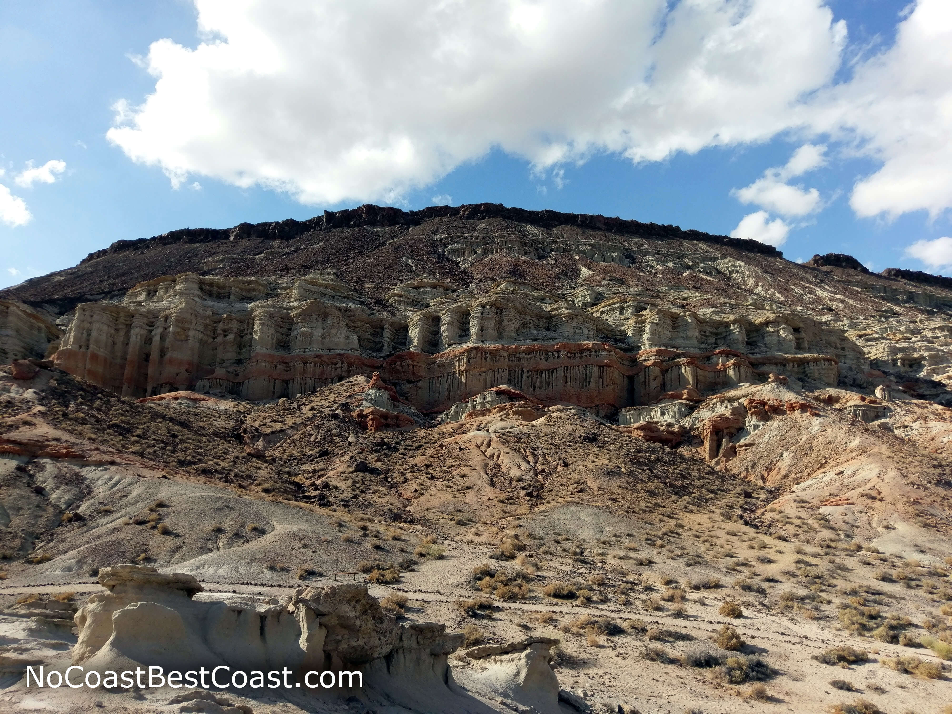
Unique badlands formations along the northwest side of the trail
The red and white striped cliffs of Hagen Canyon
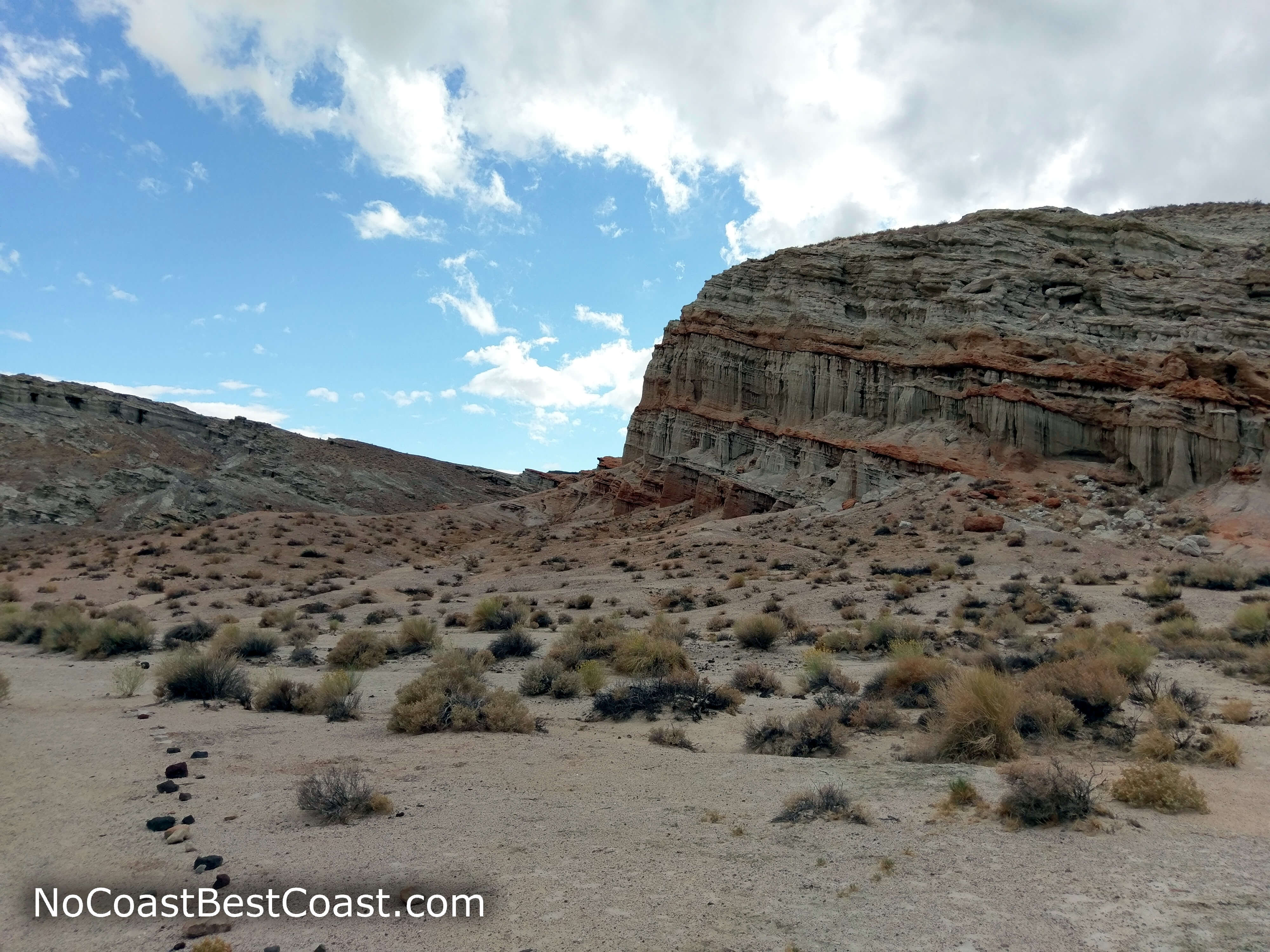
Great Basin scrub covering the hills
Hiked on Sunday, October 30th, 2016 by Ricky Holzer
Important Information
Dogs are not allowed on established trails in the park. This is a perfect trail for a family hike -- it's flat, scenic, and short. Spring, fall, and winter are the best seasons for hiking since summer temperatures are brutal and there is no shade. No matter what season, bring ample water and wear sun protection! The hike was not as crowded as expected given its highway adjacency, but expect to see others.
Directions
From Los Angeles, take Interstate 5 north to California Highway 14 heading north towards Palmdale/Lancaster. Continue on California Highway 14 in Mojave by staying right. Look for signs for the park in about 25 miles, then turn left on Abbott Drive to enter the park. Park in the dirt lot on the left side of the road right after you enter the park.
Google Maps Directions
Parking, Fees, and Facilities
Parking in this lot is free (but note that parking at the day-use area by the visitor center is $6). There are no facilities at this lot, so head to the visitor center for restrooms, water, and information.
Nearby Hikes
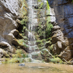
California Desert National Conservation Area, California
★★★★★(5/5)
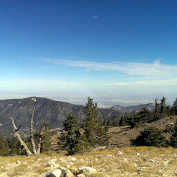
Los Padres National Forest, California
★★★★☆(4/5)
Angeles National Forest, California
★★★★☆(4/5)
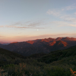
Los Padres National Forest, California
★★★★★(5/5)