| Rating | ★★★★☆(4/5) |
| Overall Difficulty | Easy |
| Navigation Difficulty | Easy |
| Distance | 1.5 miles roundtrip |
| Time | 1 hour |
| Terrain | Hilly |
| Best Seasons | All |
| Dog Friendly | No |
| Accessible | No |
Highlights
- The best view of Devils Tower in the entire park
- Cooler temperatures in the shady ravine
Hike Summary
In my opinion, the Joyner Ridge Trail has the best view of Devils Tower. Unlike the Tower Trail and Red Beds Trail which closely circle the tower, Joyner Ridge is a distance away at a higher elevation. Not only is the location perfect for a view, the surrounding scenery perfectly encapsulates the regional environment, with a grassy prairie foreground, ponderosa pine in the middle, and the monolithic granite tower in the background. Even if you don't feel able to complete the entire hike, you can still enjoy this view mere steps away from the parking lot.
While the trail is technically a loop, it was designed to be done clockwise; if you go counter-clockwise, there will be a steep climb halfway through. Follow the trail that goes straight and flat heading east on the ridge rather than the other direction heading downhill at an angle. Almost immediately, you will see the perfect view of Devils Tower pictured below.
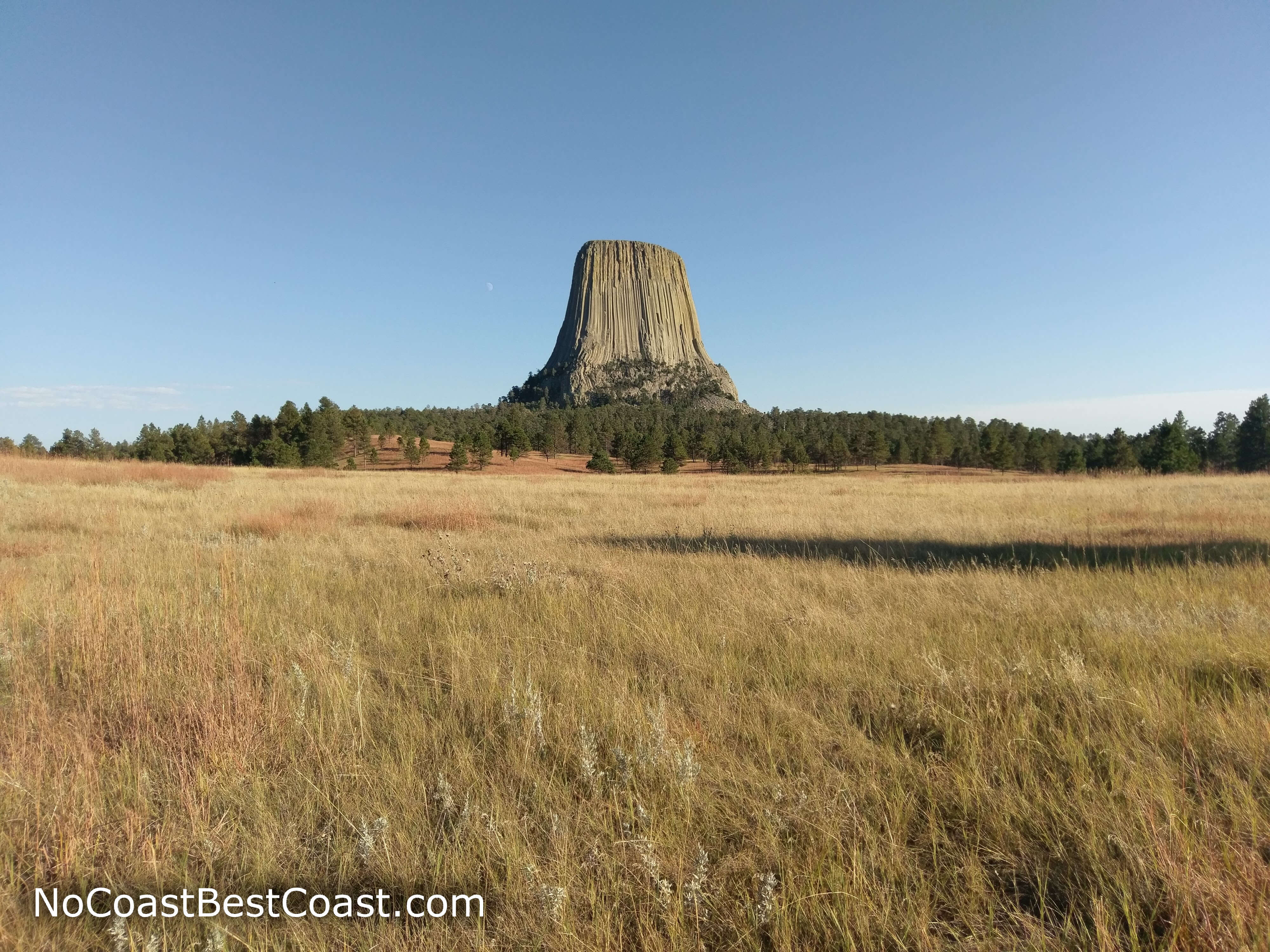
Joyner Ridge gives the best views of Devils Tower from a distance
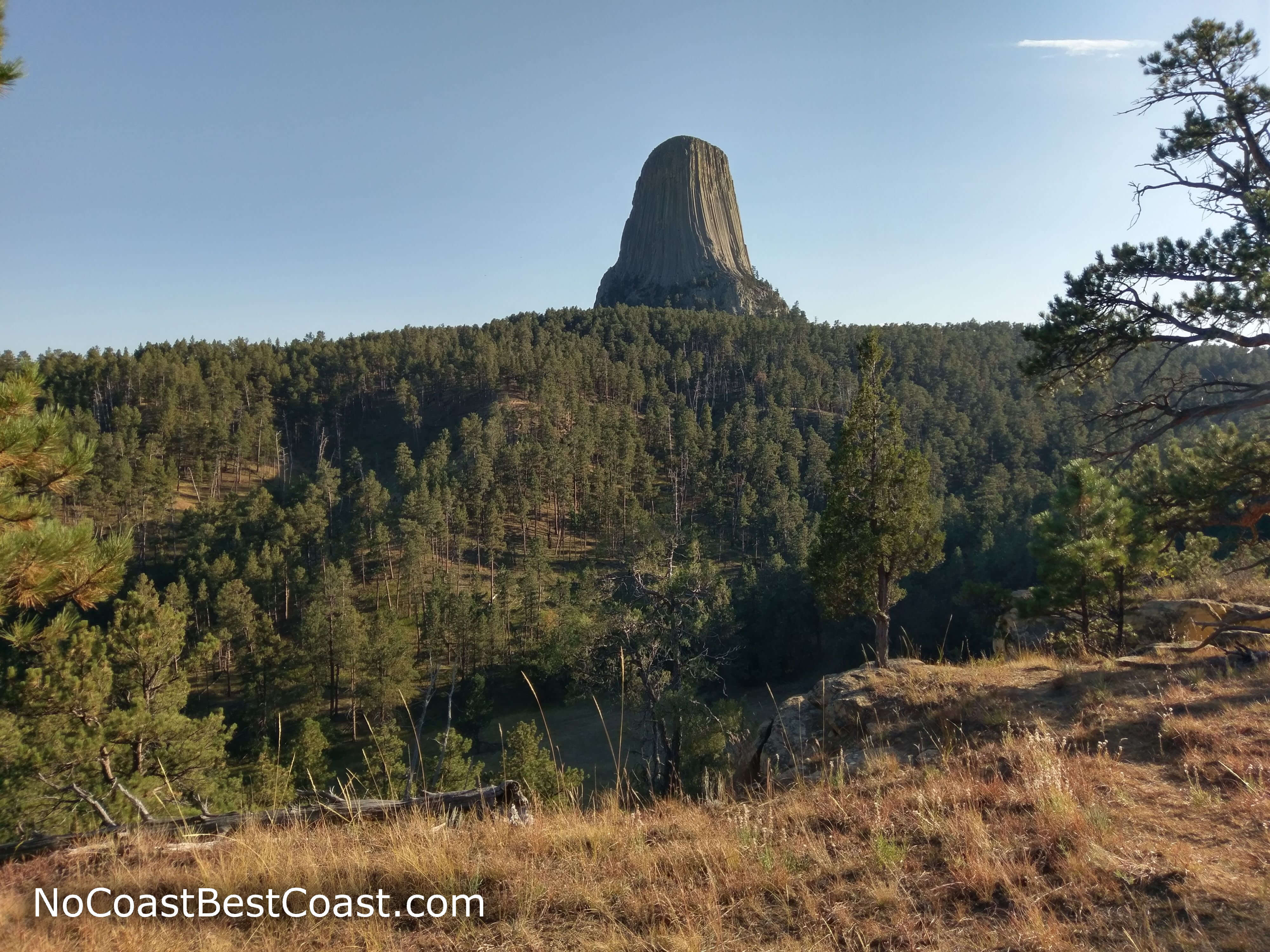
Devils Tower rises above the pine forest
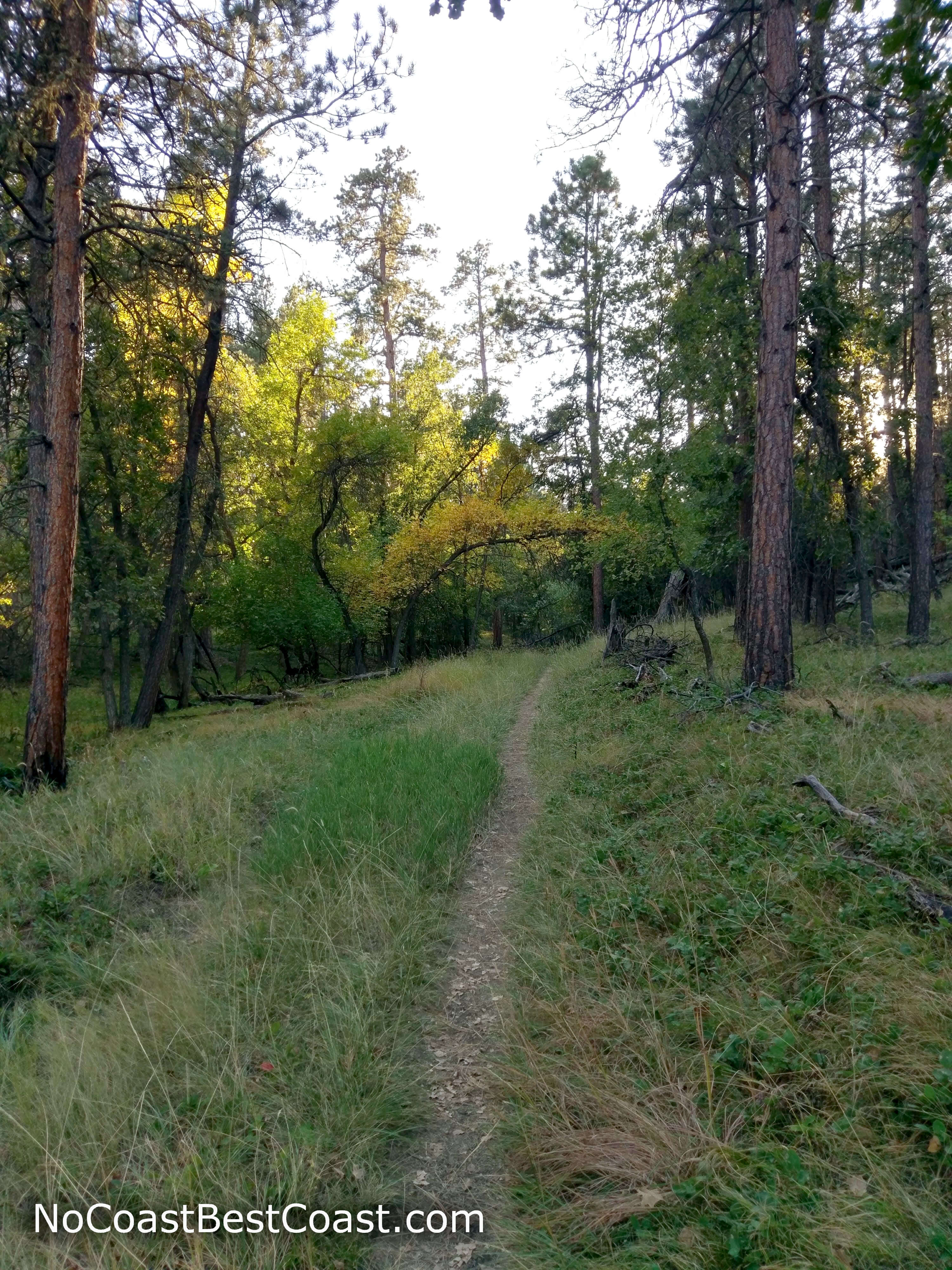
The increased rainwater and shade caused by the ravine makes this part of the trail lush
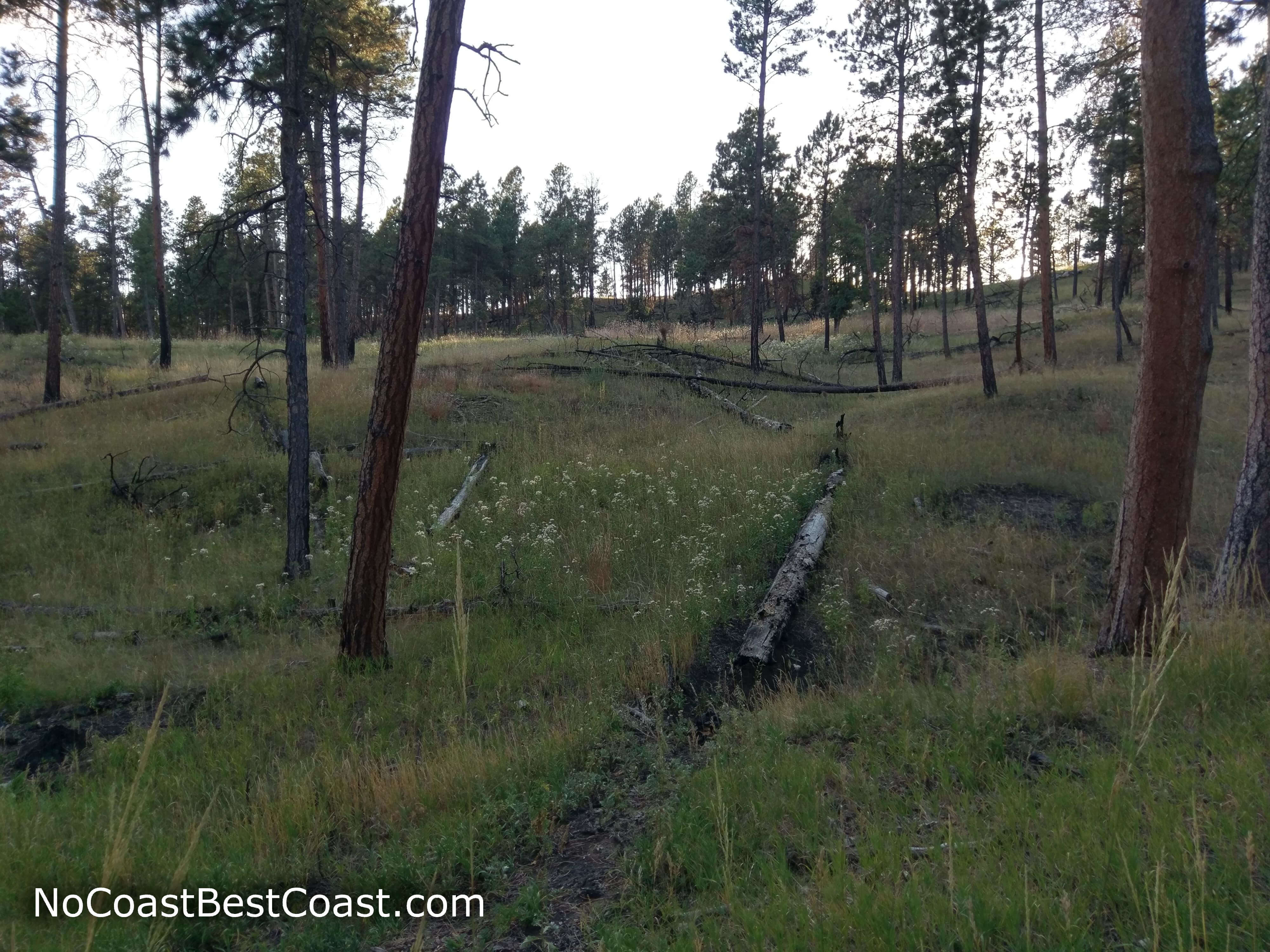
Little flowers appear as the forest thins
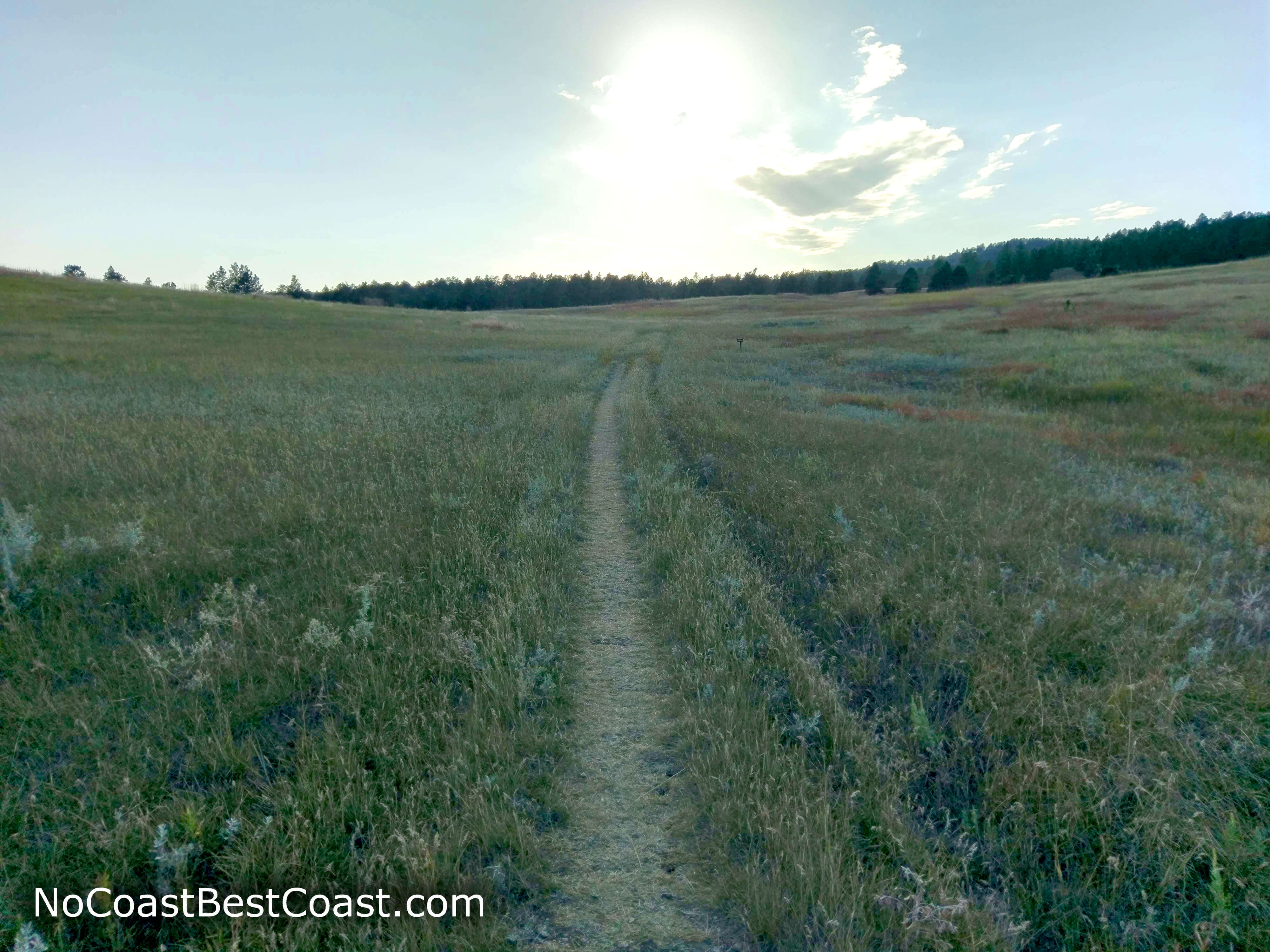
The open grassland on the final stretch of the hike in the late afternoon sun
Hiked on Tuesday, September 18th, 2018 by Ricky Holzer
Important Information
Like most national parks, dogs are not allowed on any trails in the park. This trail is steeper and more difficult than the other trails in the park, but its short distance and fewer people mean this is still a family friendly hike. You can visit Devils Tower any day of the year, just be prepared for hot temperatures in summer and cold and snow in winter. This is the least traveled trail in the park, so you can escape the crowds and enjoy the tower at your own pace with moments of peace and quiet.
Directions
From Interstate 90 in Sundance, take the exit for U.S. Highway 14 and head west. Follow signs to Devils Tower, and from the right lane, merge onto Wyoming Highway 24. Turn left onto Wyoming Highway 110, and enter the park. Pay the entrance fee, and turn left onto the dirt road signed for the Joyner Ridge Trailhead.
Google Maps Directions
Parking, Fees, and Facilities
Park entrance fees are $20 per vehicle for a 1-7 day pass. An annual pass for Devils Tower National Monument is $40 (only good at this park), or you can purchase the Interagency Pass which is good at all national parks and more for $80. Note that all entrance fees stated will increase by $5 starting January 1, 2019. More information available on the park's website. This trailhead does not have any facilities, but the visitor center further down the main park road has restrooms, water, information, and a gift shop.
Nearby Hikes
Black Hills National Forest, Wyoming
★★★★★(5/5)
Black Hills National Forest, Wyoming
★★★★★(5/5)
Black Hills National Forest, South Dakota
★★★★☆(4/5)
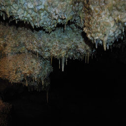
Jewel Cave National Monument, South Dakota
★★★★★(5/5)