| Rating | ★★★☆☆(3/5) |
| Overall Difficulty | Moderate |
| Navigation Difficulty | Easy |
| Distance | 4 miles roundtrip |
| Time | 2 hours |
| Terrain | Mostly flat |
| Best Seasons | All |
| Dog Friendly | Yes |
| Accessible | No |
Highlights
- Pretty prairie on a portion of the North Country National Scenic Trail
- Seeing cows roam free
Hike Summary
About an hour away from Fargo you'll find Sheyenne National Grassland, the only tallgrass prairie owned by the U.S. Forest Service and North Dakota's equivalent to a National Forest. Unless you want to do a really long hike on the North Country National Scenic Trail, this is the only developed trail in the entire park. Compared to another park with more topography, there isn't much noteworthy about this hike. Instead it's a good place to enjoy the peace of nature (save for some mooing cows), and in the spring and summer, you can see beautiful prairie flowers blossom with some grasses towering over your head.
You can do the loop in either direction (I went clockwise and will describe as such), and there is no difference in difficulty no matter which way you choose. To start the hike, lift the gate to enter the grassland. You'll notice warning signs on the gate stating this is an active range and to be cautious around grazing animals. Before this area was settled, bison roamed freely and helped maintain a balanced ecosystem by spreading fertilizer and preventing overgrowth. Now that the bison are gone, the Forest Service naturally manages this land by leasing it as pasture for farm animals like cows and sheep. Depending on the time of year, the odds are good that you will see this practice in action.
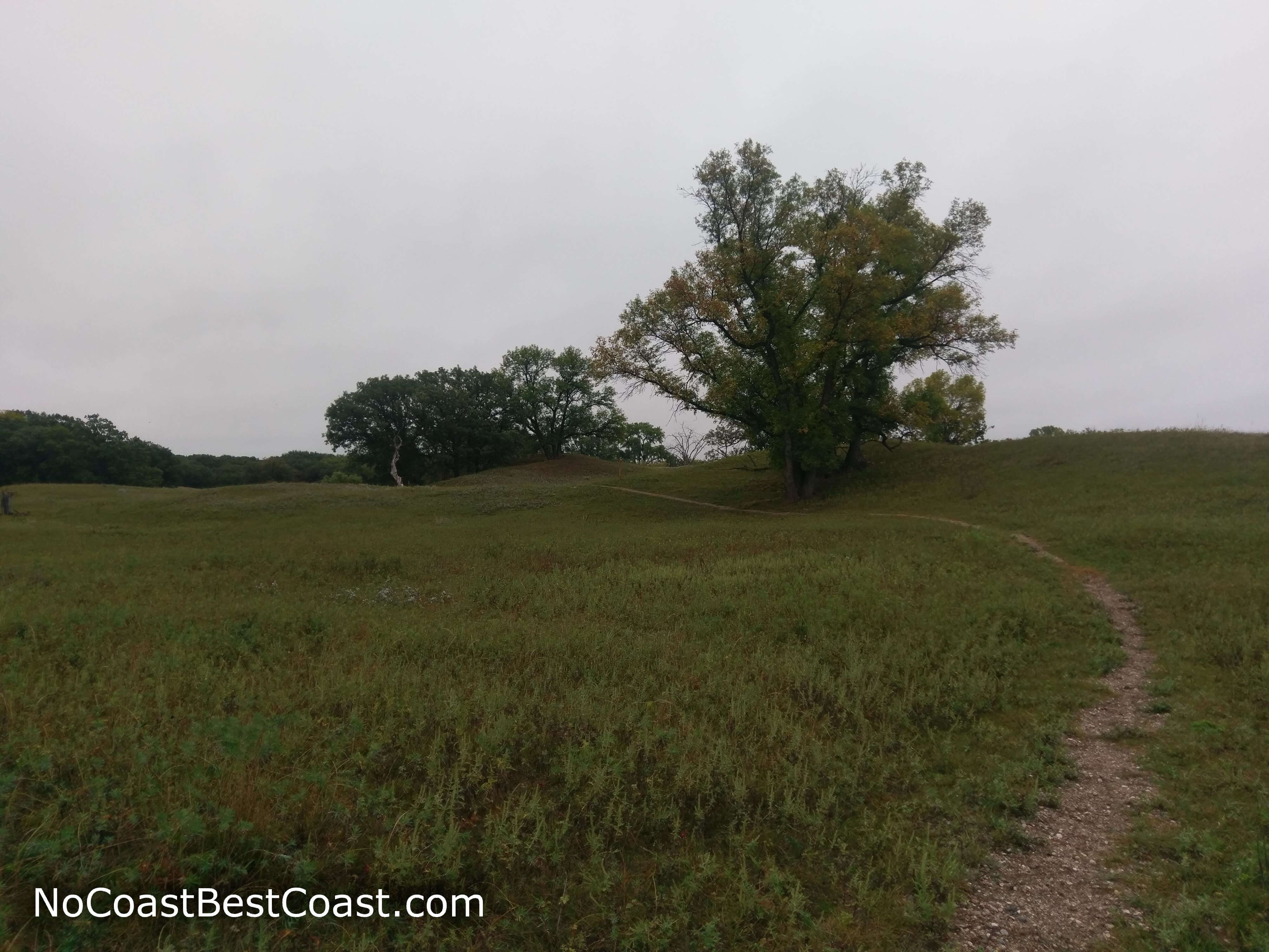
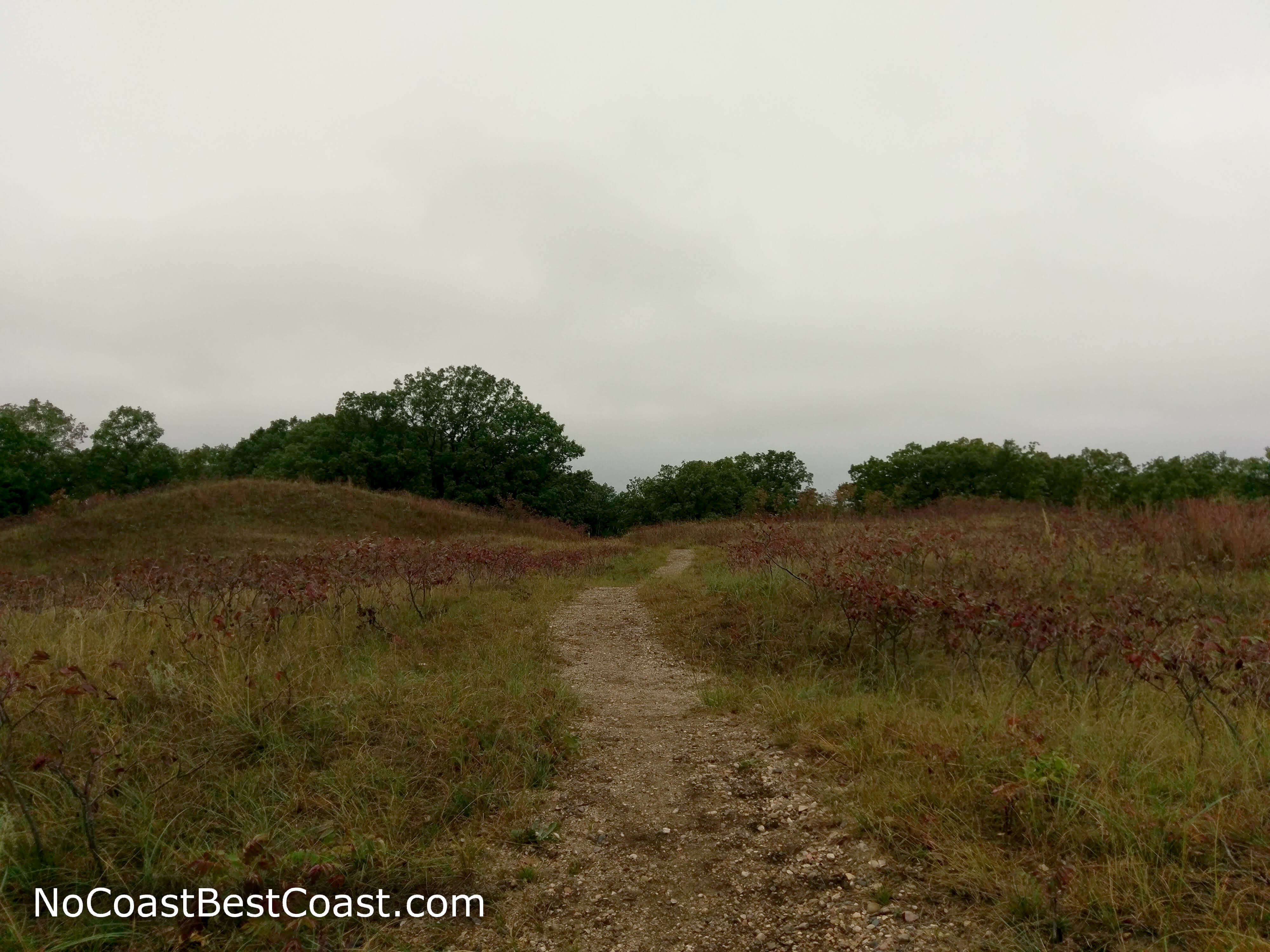
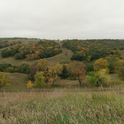
Unsurprisingly, this hike is as flat as the rest of the east side of North Dakota. However, there are some perfectly rounded short hills (like pictured below), which made me think this place could be transformed into a golf course simply by strategically mowing the grass. The trail is easy to follow thanks to the contrast between the dirt path and the grassy surroundings in addition to wooden posts scattered throughout the entire loop with markings labeling the Oak Leaf and North Country Trails.
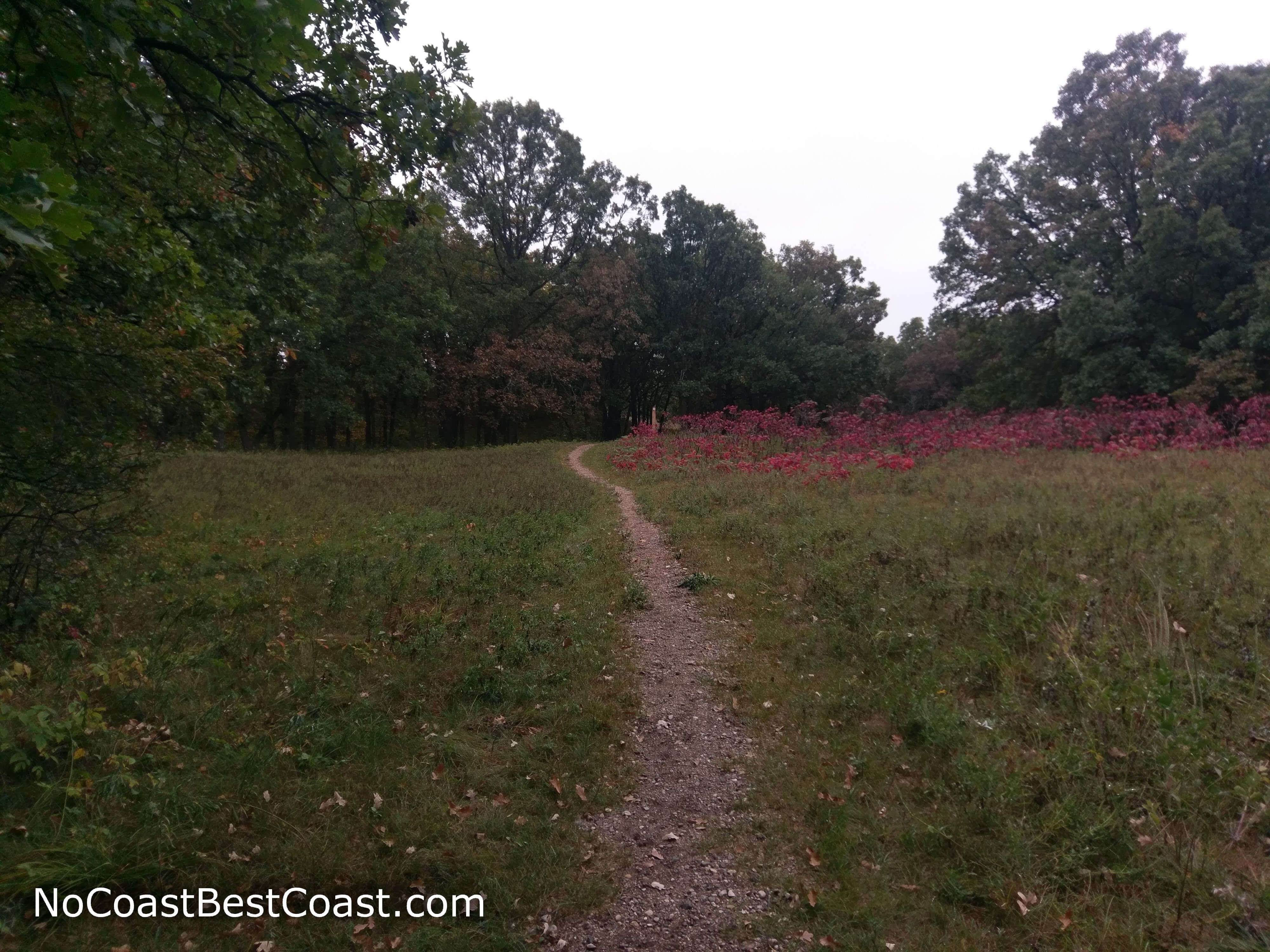
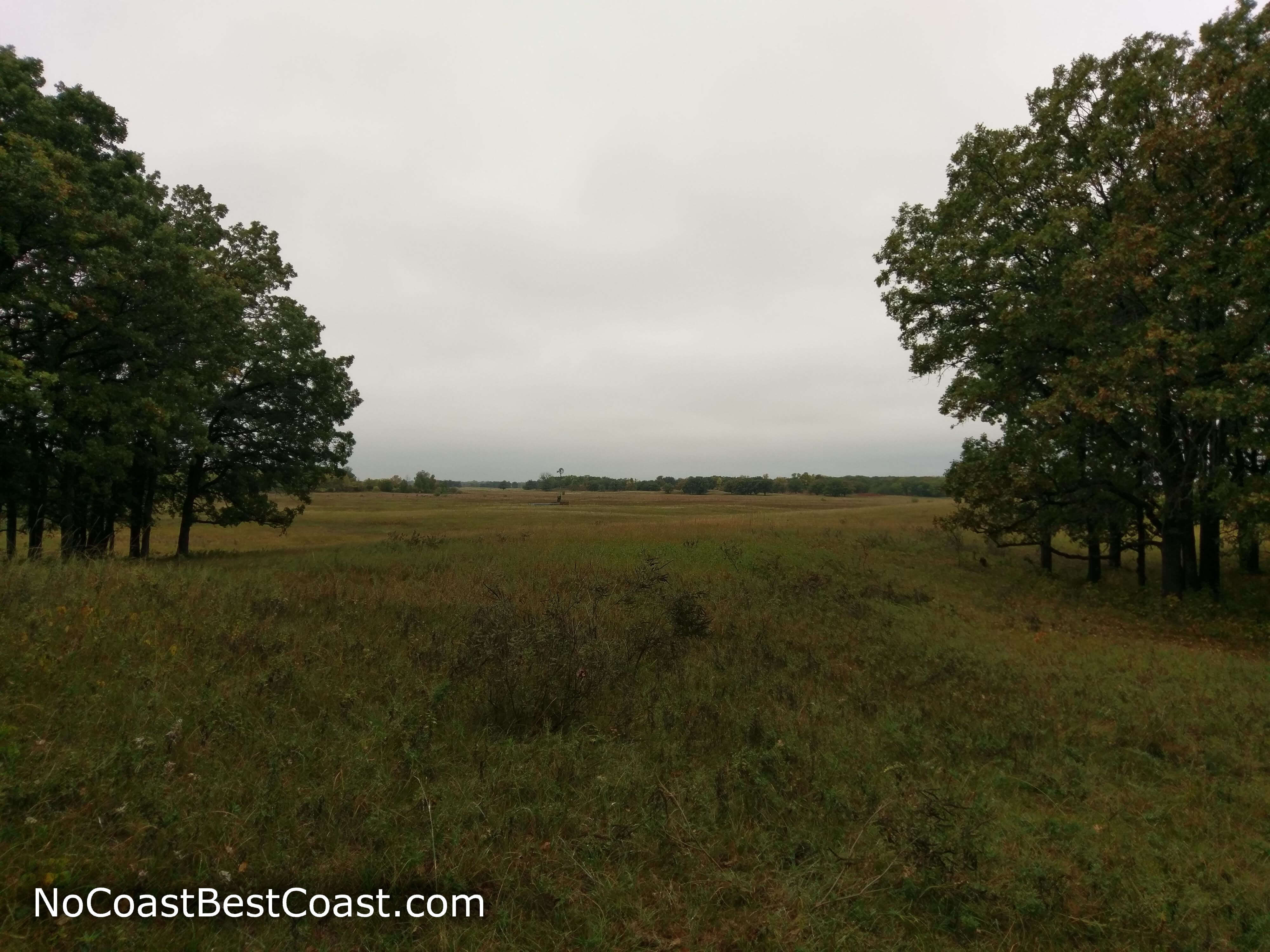
About halfway through the trail, you'll reach a junction where the North Country National Scenic Trail continues east on its long journey to Minnesota and beyond. Turn right to continue on the Oak Leaf Trail (or turn left on the North Country Trail heading west if you're coming from the other direction). There will be some small groves of trees to provide a moment of shade, welcome on a sunny day. In the distance, you can see a windmill and a water trough (tiny spots in the center of the picture below) where the cows no doubt congregate at other times of the day. Eventually you'll pass through another gate (true safety from the scary cows) and into the final stretch of forest, shown just beyond the red sumac covered hills in the picture below. After exiting the active range and passing through the gate to a protected area, it's readily apparent how cows act as nature's lawnmowers with such a noticeable difference in grass height and ground cover between the two areas. The parking area will appear in the distance, and finally, you'll pass through the last gate. If you enjoy hiking less well-known trails or just the solitude of nature, this is the place for you. And if you're a city slicker like me, you can learn that cows really aren't so scary after all. Let me know what you think in the comments section below, and be sure to use #nocoastbestcoast on Twitter and Instagram!
Hiked on Saturday, September 15th, 2018 by Ricky Holzer
Important Information
Rules about dogs in National Forests/Grasslands are generally more relaxed, but since this may be an active pasture, keeping your dog on leash is highly recommended. This hike is too long to be family friendly, so I suggest driving another half hour to Fort Ransom State Park for shorter, kid friendly trails. You can hike here in all four seasons, though travel on these roads may be difficult in winter (I'm unsure if they plow). The trailhead is adjacent to the Jorgen's Hollow Campground, and as such the trail probably sees a bit of use during peak camping weekends. I'd consider this trail off the beaten path though, so you probably won't see many people even then.
Directions
I recommend using a navigation app to drive here -- the final turns are not well marked and on dirt roads. Click the link at the bottom of this section to use Google Maps.
From Fargo, take Interstate 29 south and take the exit for North Dakota Highway 46. Turn right, then turn left onto North Dakota Highway 18 in about 15 miles. The next turn is easy to miss, so watch for the blue sign for County Highway 2 and turn right onto the dirt road. Pay attention to your odometer now, and turn left in 4 miles. After entering the Sheyenne National Grassland, the road will start curving. In about 4 miles, you'll see the sign for the Jorgen's Hollow Campground, and soon after the parking lot for trail access and day use.
Google Maps Directions
Parking, Fees, and Facilities
Parking is free! There are pit toilets available in the campground next to the trailhead parking lot.
