| Rating | ★★★★☆(4/5) |
| Overall Difficulty | Moderate |
| Navigation Difficulty | Easy |
| Distance | 4.8 miles roundtrip |
| Time | 3 hours |
| Terrain | Hilly, 1100 feet of elevation gain |
| Best Seasons | All |
| Dog Friendly | Yes |
| Accessible | No |
Highlights
- Great views of Denver
- Pretty transition from scrub to pine forest
Hike Summary
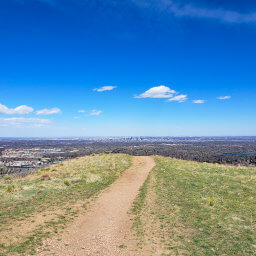
Deer Creek Canyon Park is a perennial favorite of mine on the southwest end of the Denver metro. With a little over 1000 feet of elevation gain, you can watch the landscape shift from the grasses of the Great Plains to the pines of the Rocky Mountains. At the top, you'll enjoy views of the entire metro area.
From the parking lot, take the Plymouth Creek Trail. Save for a bit of downhill at the beginning, the entirety of the trail is uphill (as expected when climbing a mountain). The ascent is gradual with a few switchbacks as the path rounds the base of the mountain, but it quickly becomes steeper once the trail turns southwest to follow Plymouth Creek.
As suggested by the black diamond rating on the official park map linked at the bottom of the page, this next part of the trail is rocky and steep. When temperatures dip below freezing, these rocks can become dangerously icy, so be prepared and turn around if conditions are too sketchy. After about a mile, continue straight past the intersection with the Meadowlark Trail. This part of the trail, sandwiched between two mountains, isn't particularly scenic, as evidenced by my lack of pictures.
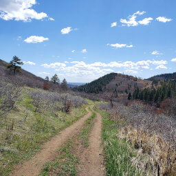
After the trail passes over Plymouth Creek, stay straight to continue on the Plymouth Mountain Trail (do not turn onto the earlier junction with the Plymouth Mountain Trail to the left or the Plymouth Creek Trail further up to the right). In addition to a pretty transition into pine forest, as pictured below, the trail will now be less steep. Because the surrounding mountains shade this portion of the trail, snow lingers here after it has melted everywhere else.
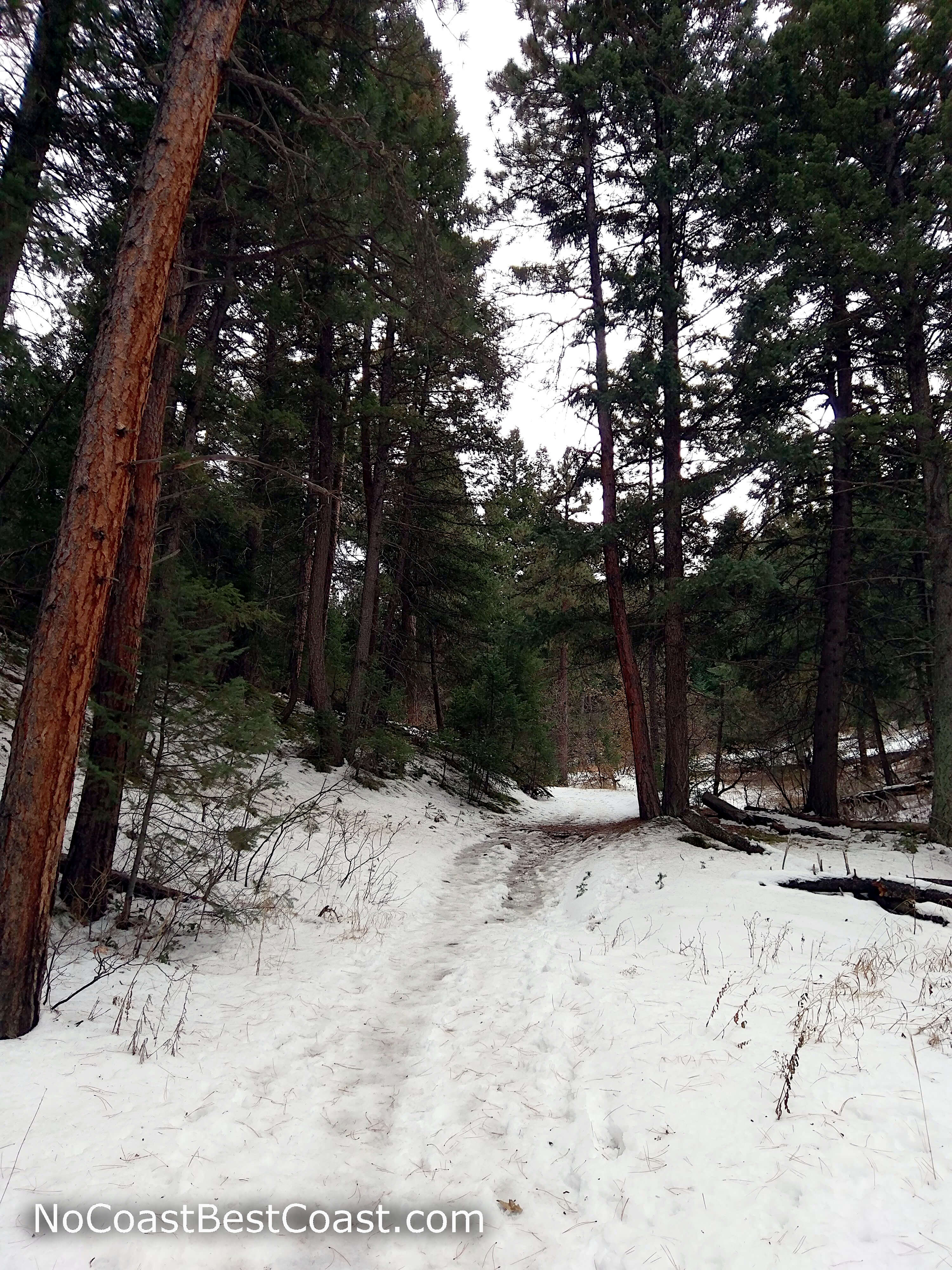
Snow blanketing the pine forest floor
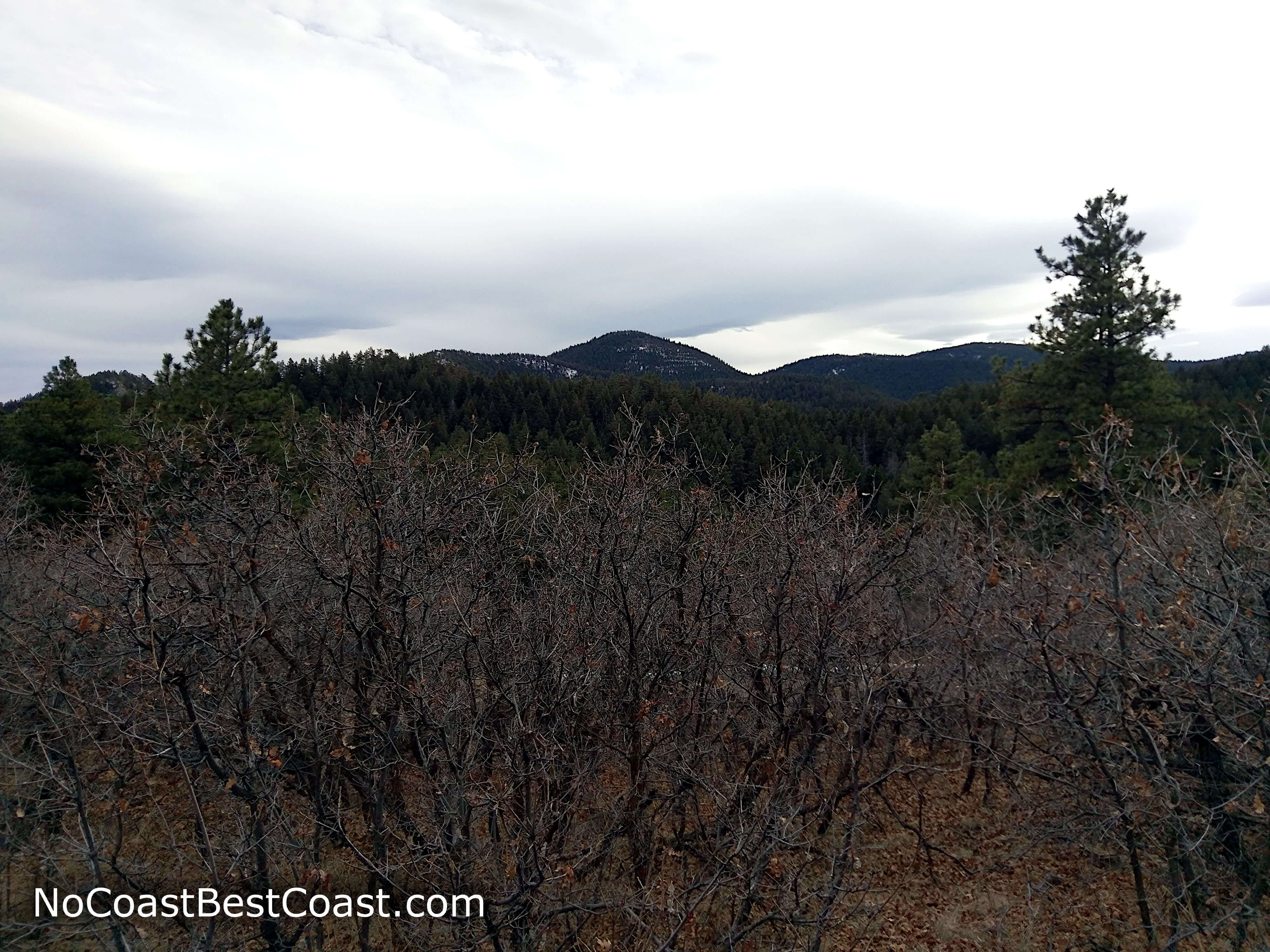
Shrubs replace much of the pine forest near the top of Plymouth Mountain
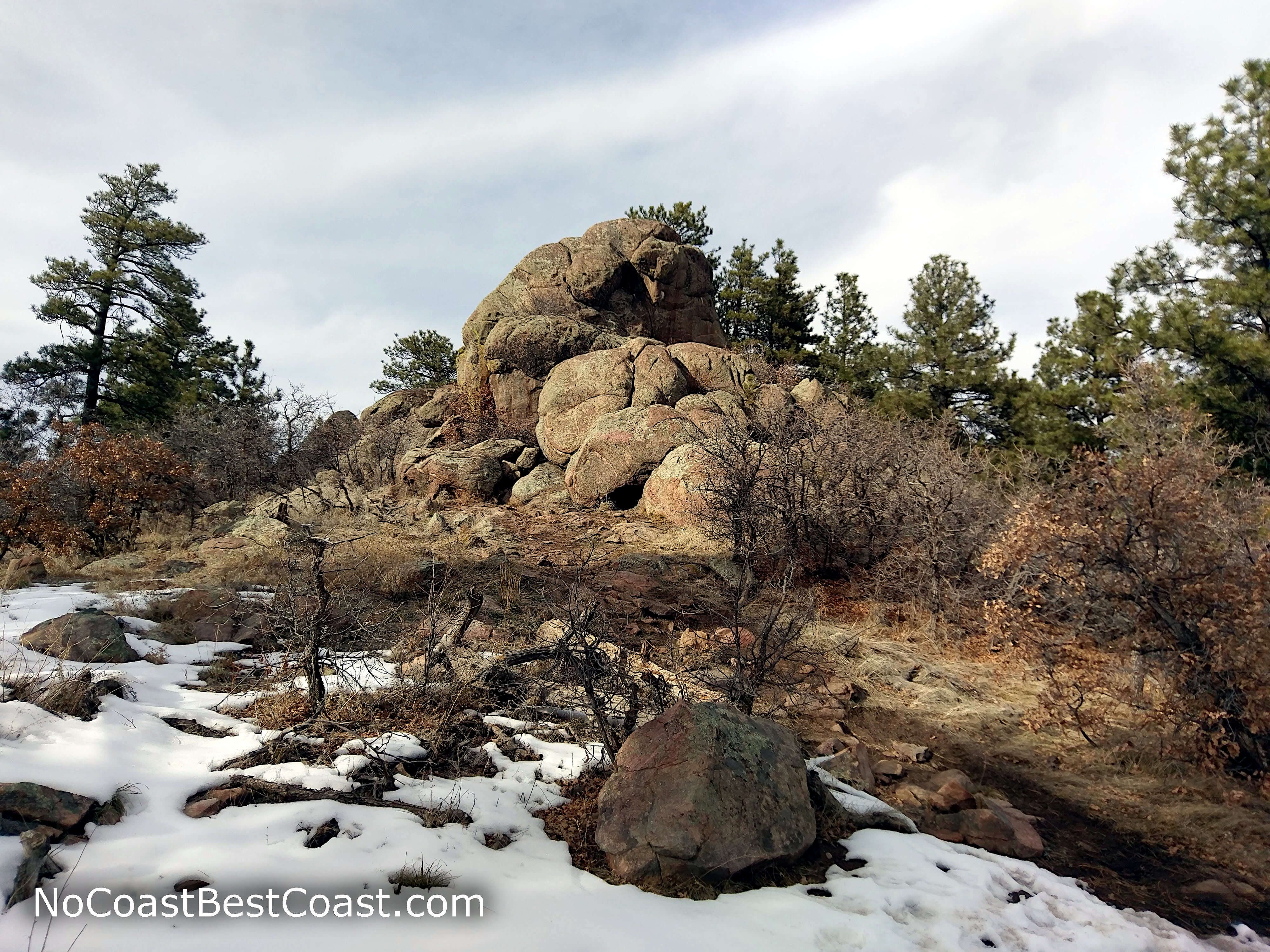
Boulders decorate the top of Plymouth Mountain
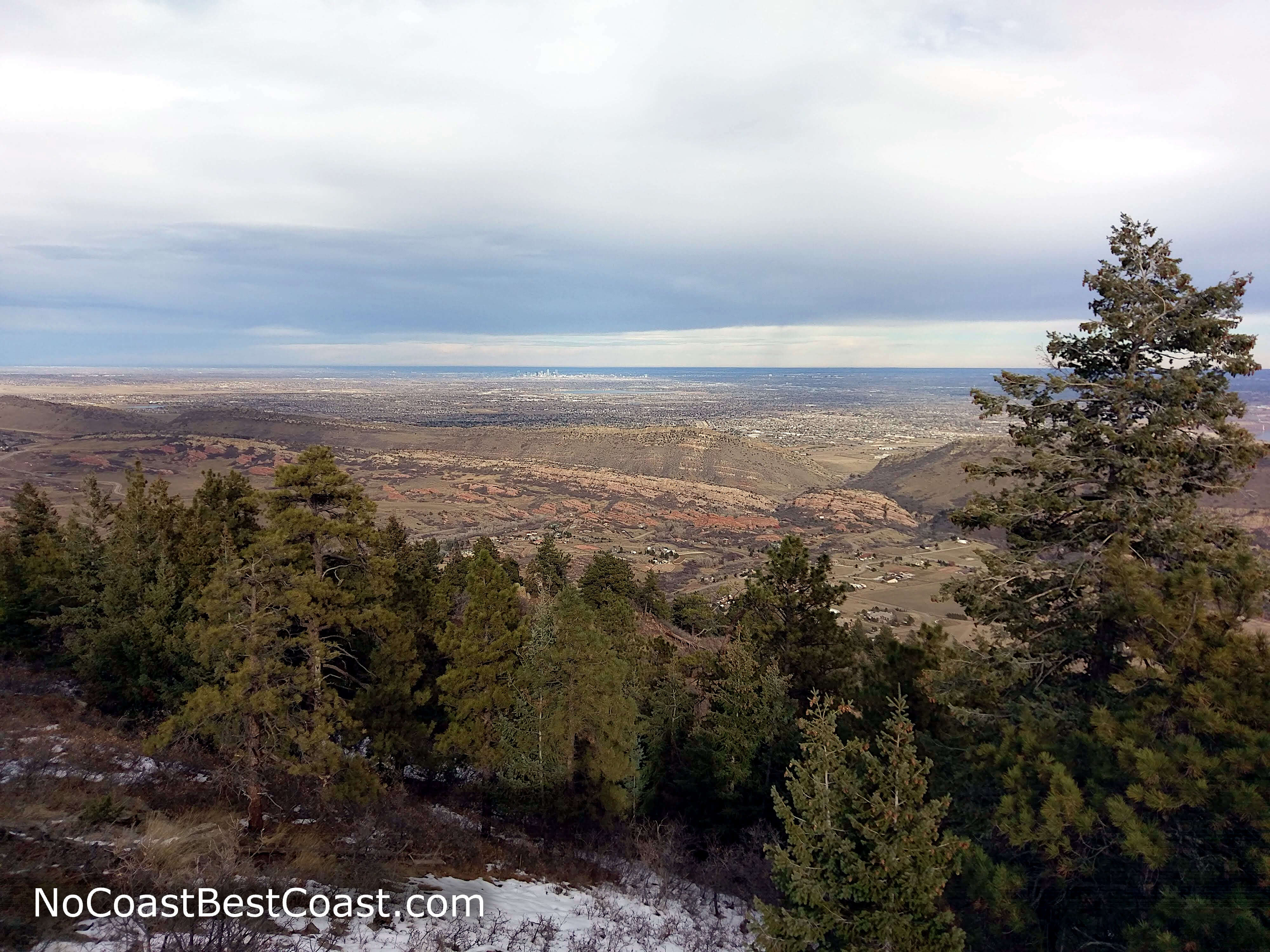
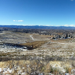
The view of Denver from the Plymouth Mountain Lookout
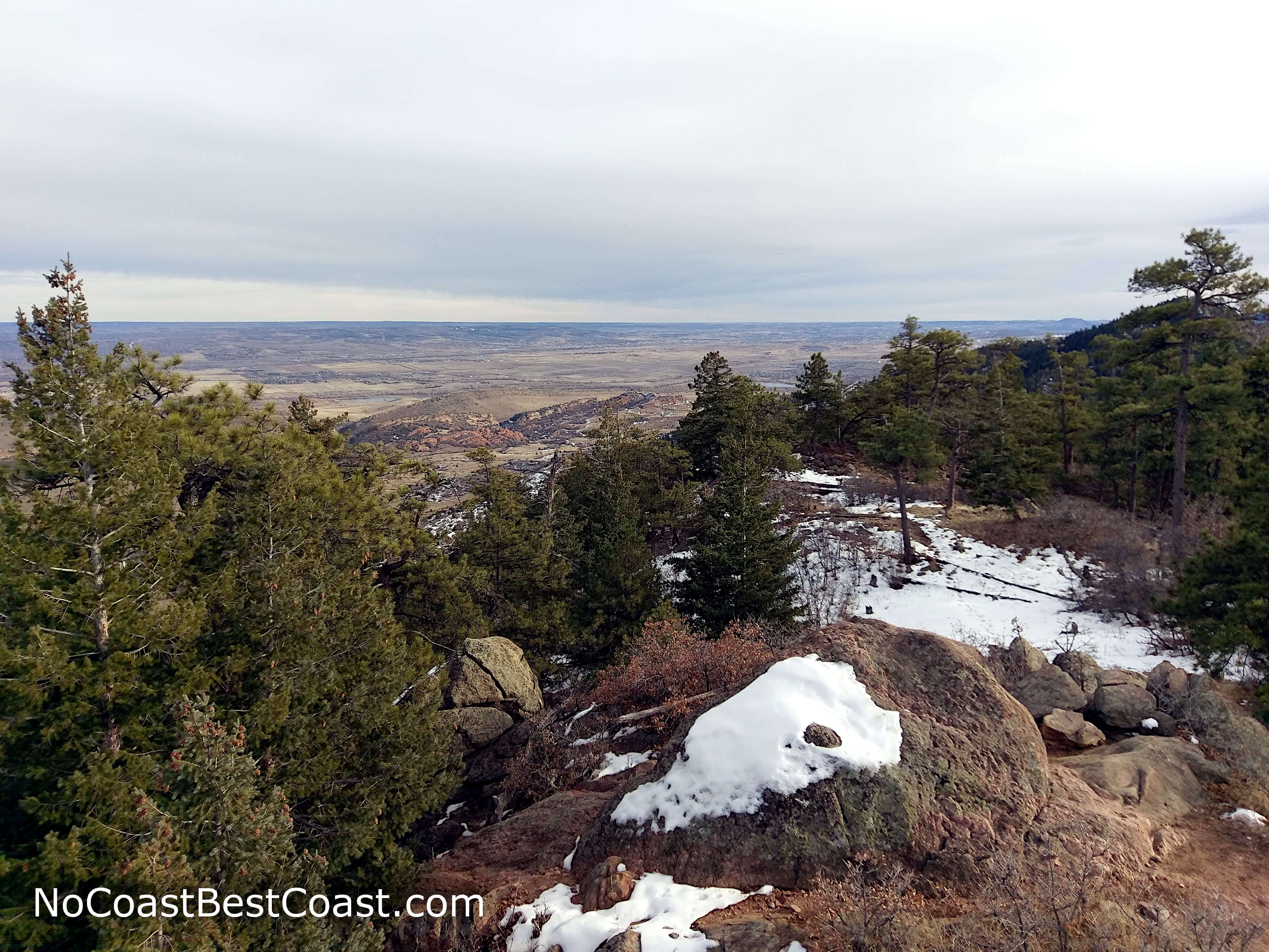
The view to the southeast from Plymouth Mountain
Overall, this is a decent hike close to the city that offers some degree of challenge, and the views are a lovely bonus. Connect with me using the social media links below and share your adventures!
Hiked on Thursday, November 22nd, 2018 by Ricky Holzer
Important Information
Dogs are allowed on leash. Given the hillside location of Deer Creek Canyon Park, all of the trail here may be too difficult for a family-friendly hike; head to nearby South Valley Park or Chatfield State Park for easier hikes. You can hike this trail in all four seasons, though in the winter it is advisable to wear microspikes and use trekking poles to safely travel on ice. This park is relatively popular, but I've never had a problem finding a place to park.
Directions
From Denver, take U.S. Highway 85 (Santa Fe Drive) south. Turn right onto the ramp for Colorado Highway 470 heading west. Take the exit for Kipling Parkway, then turn left. Turn right onto Ute Avenue, then stay right to head west into the mountains on Deer Creek Canyon Road. Turn left onto Grizzly Drive, then turn right into the parking area.
Google Maps Directions
Parking, Fees, and Facilities
Parking is free! There are restrooms near the lot, and water is available during the warm months.
Nearby Hikes
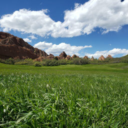
Roxborough State Park, Colorado
★★★★★(5/5)
Roxborough State Park, Colorado
★★★★★(5/5)
William F. Hayden Park, Colorado
★★★★☆(4/5)
Bluffs Regional Park, Colorado
★★★☆☆(3/5)