| Rating | ★★★★☆(4/5) |
| Overall Difficulty | Moderate |
| Navigation Difficulty | Easy |
| Distance | 5 miles roundtrip |
| Time | 2.5 hours |
| Terrain | Hilly, 700 feet of elevation gain |
| Best Seasons | Spring, Fall, Winter |
| Dog Friendly | Yes |
| Accessible | No |
Highlights
- The best views of the Denver skyline
- Beautiful grassy hills and distant mountain vistas
Hike Summary
Rising 1,600 feet above the Mile-High City, the treeless and aptly-named Green Mountain is a prominent landmark visible throughout the Denver metro. The City of Lakewood preserves its grassy slopes and maintains a vast trail network for hikers and mountain bikers, each providing great views and a decent uphill challenge. This loop hike up the Green Mountain Trail and down the John O. Hayden Trail is an excellent hike for fall or spring when you crave good views but don't want to drive far into the mountains.
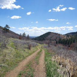
The trail starts by switchbacking gradually up the mountainside, as pictured below. One of the benefits of having no trees is that the views are nearly constant after you've ascended a bit.
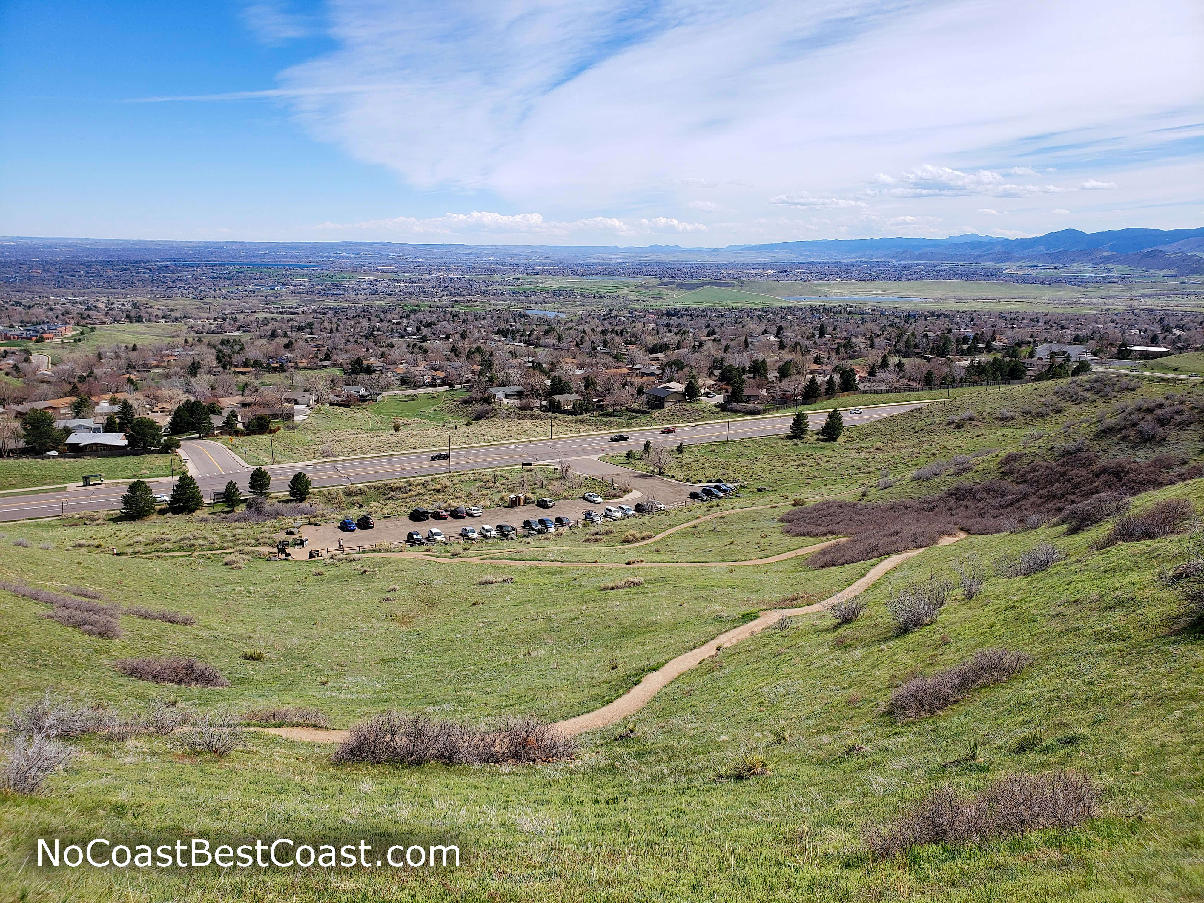
The switchbacks near the beginning of the trail
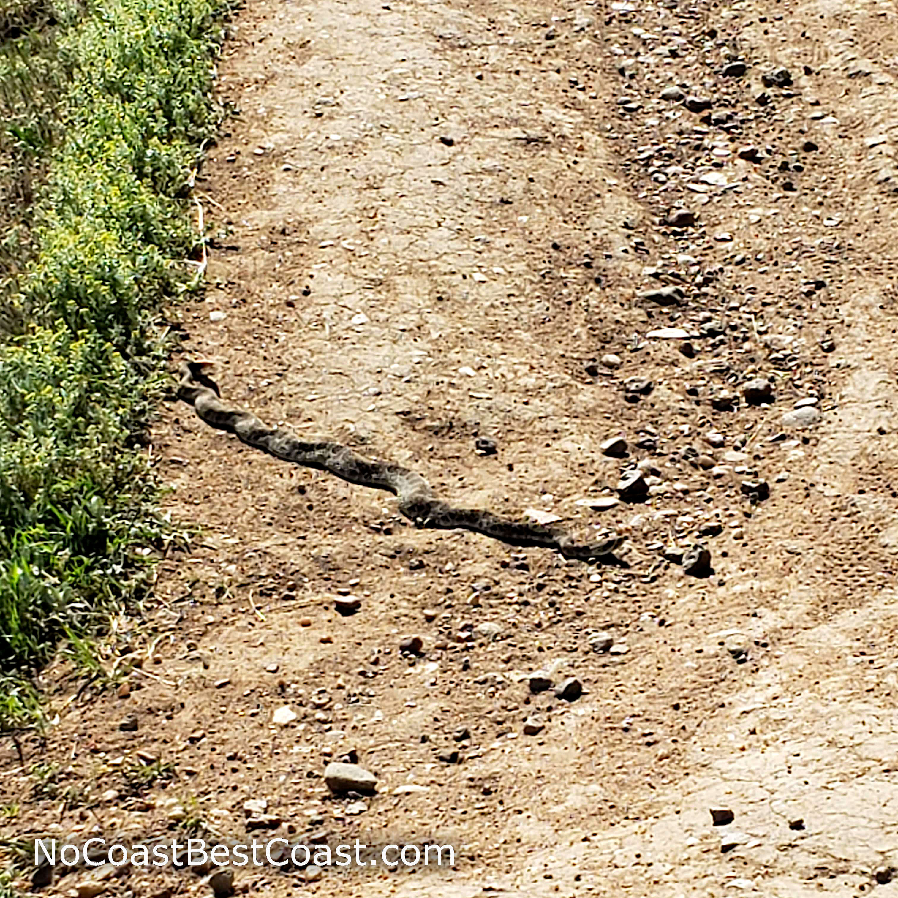
A rattlesnake sunning itself on the trail
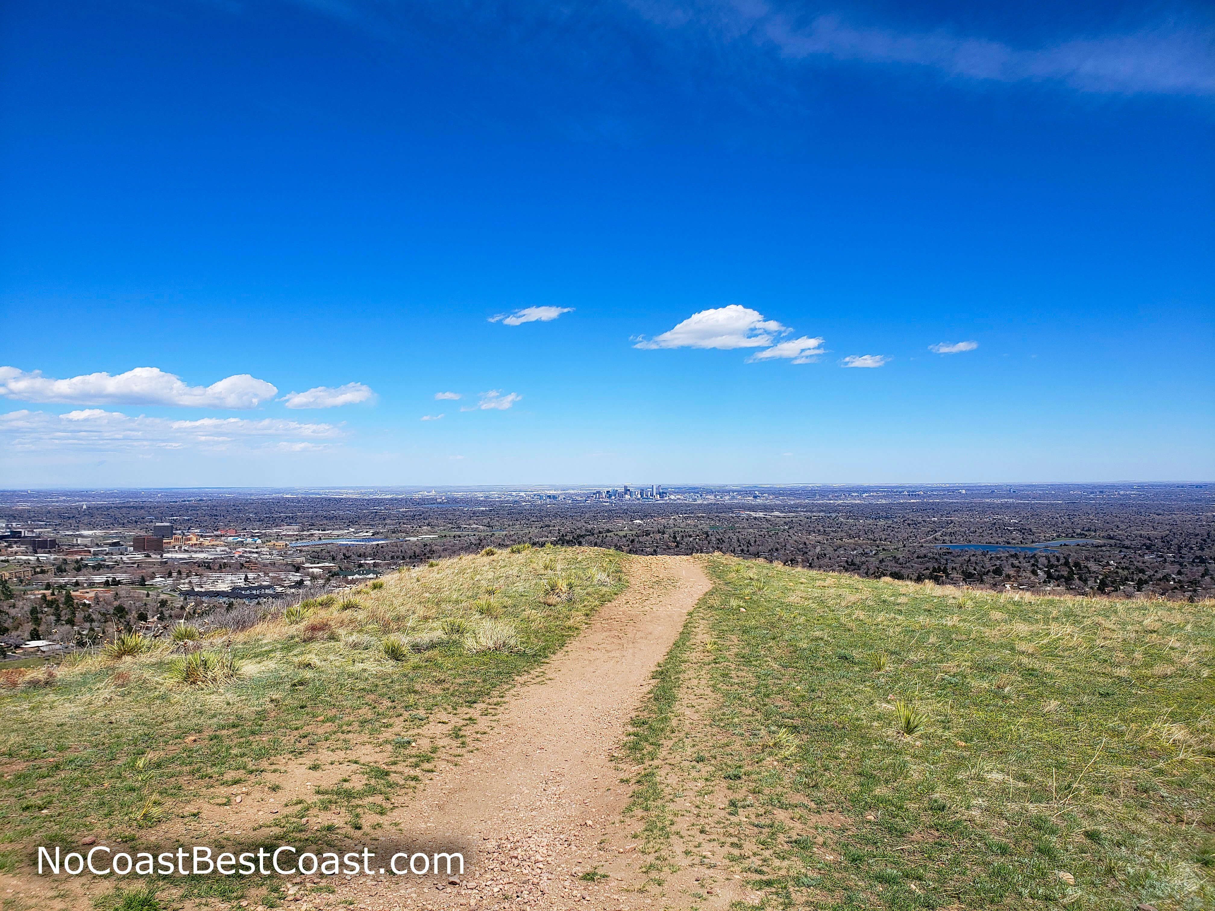
The Denver skyline from the Green Mountain Trail
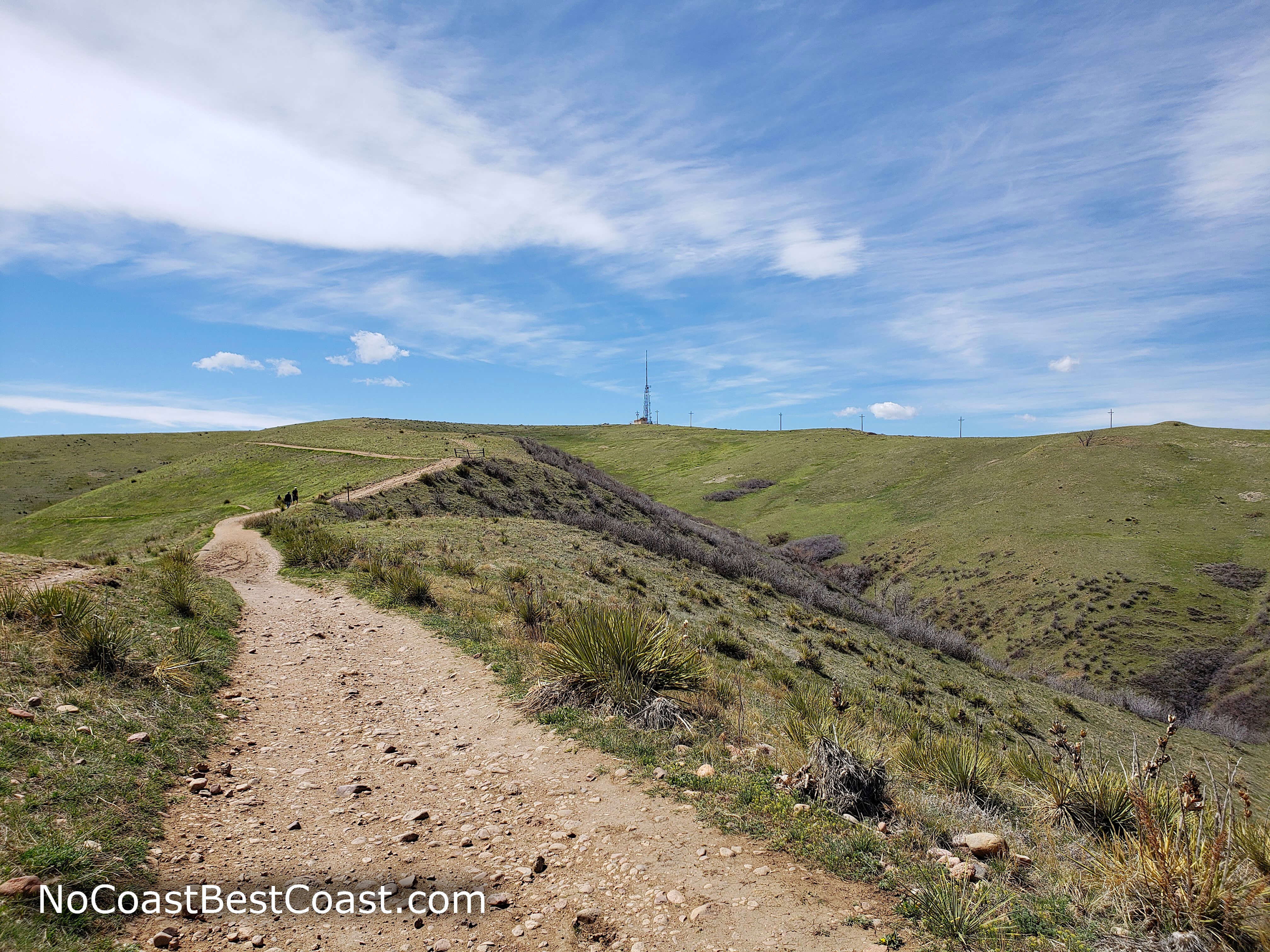
The grassy slopes and radio tower near the top of Green Mountain
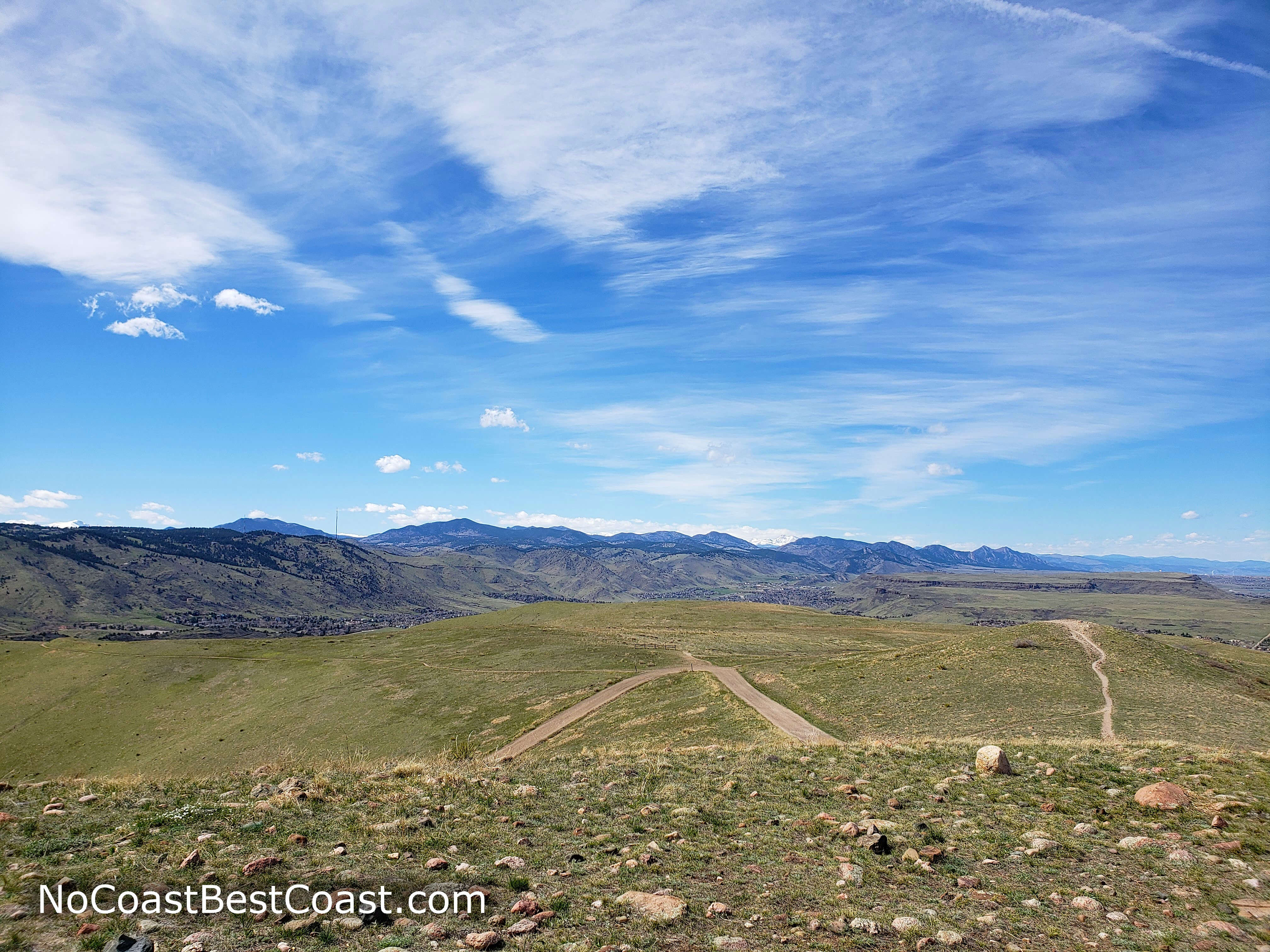
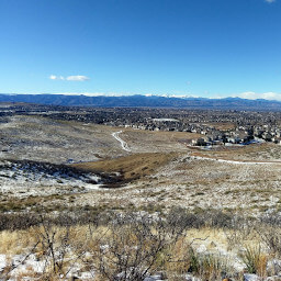
The summit view to the north
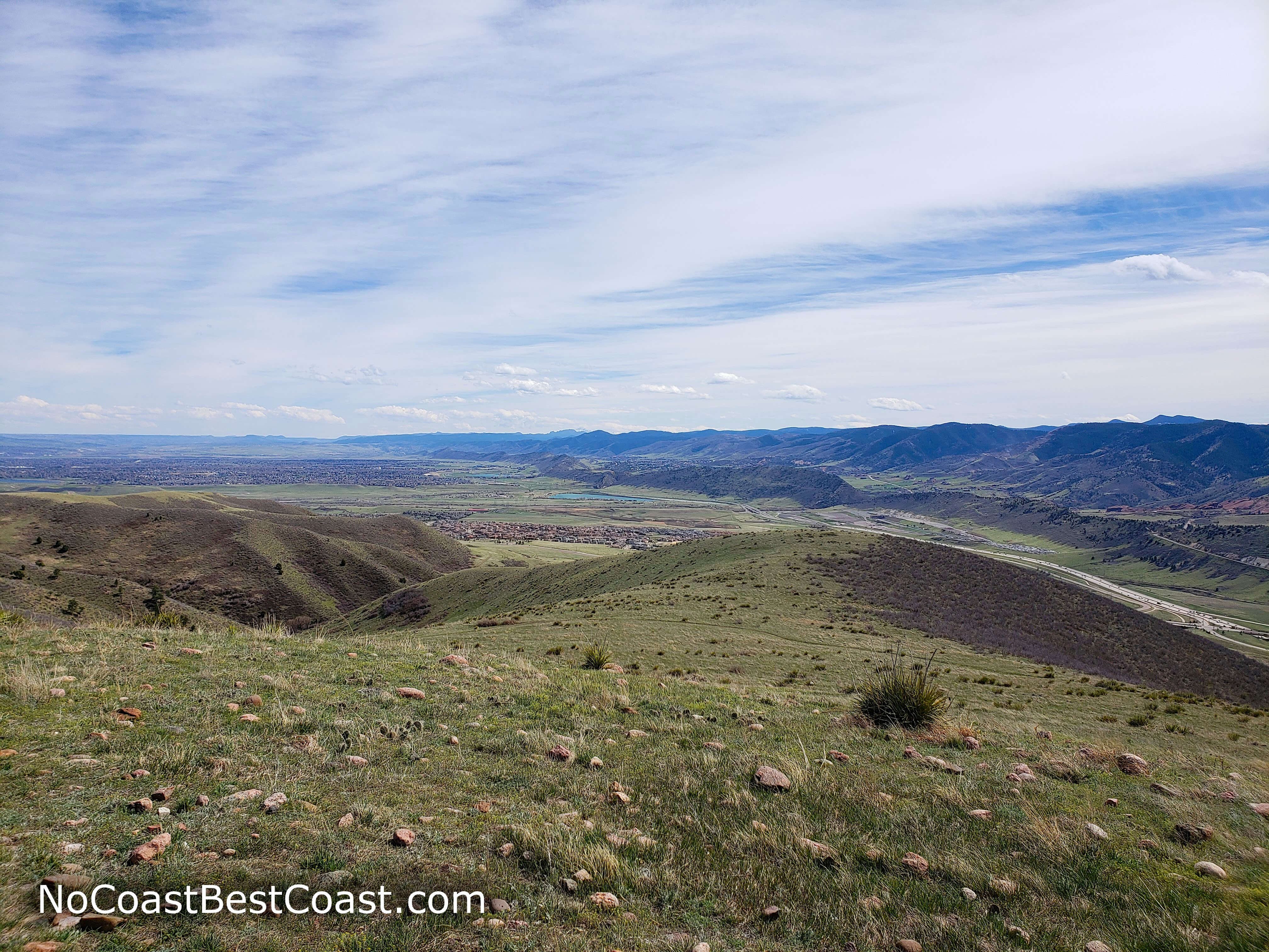
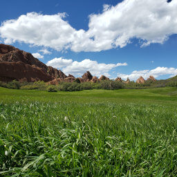
The summit view to the south with Dinosaur Ridge and the Front Range dominating the scene
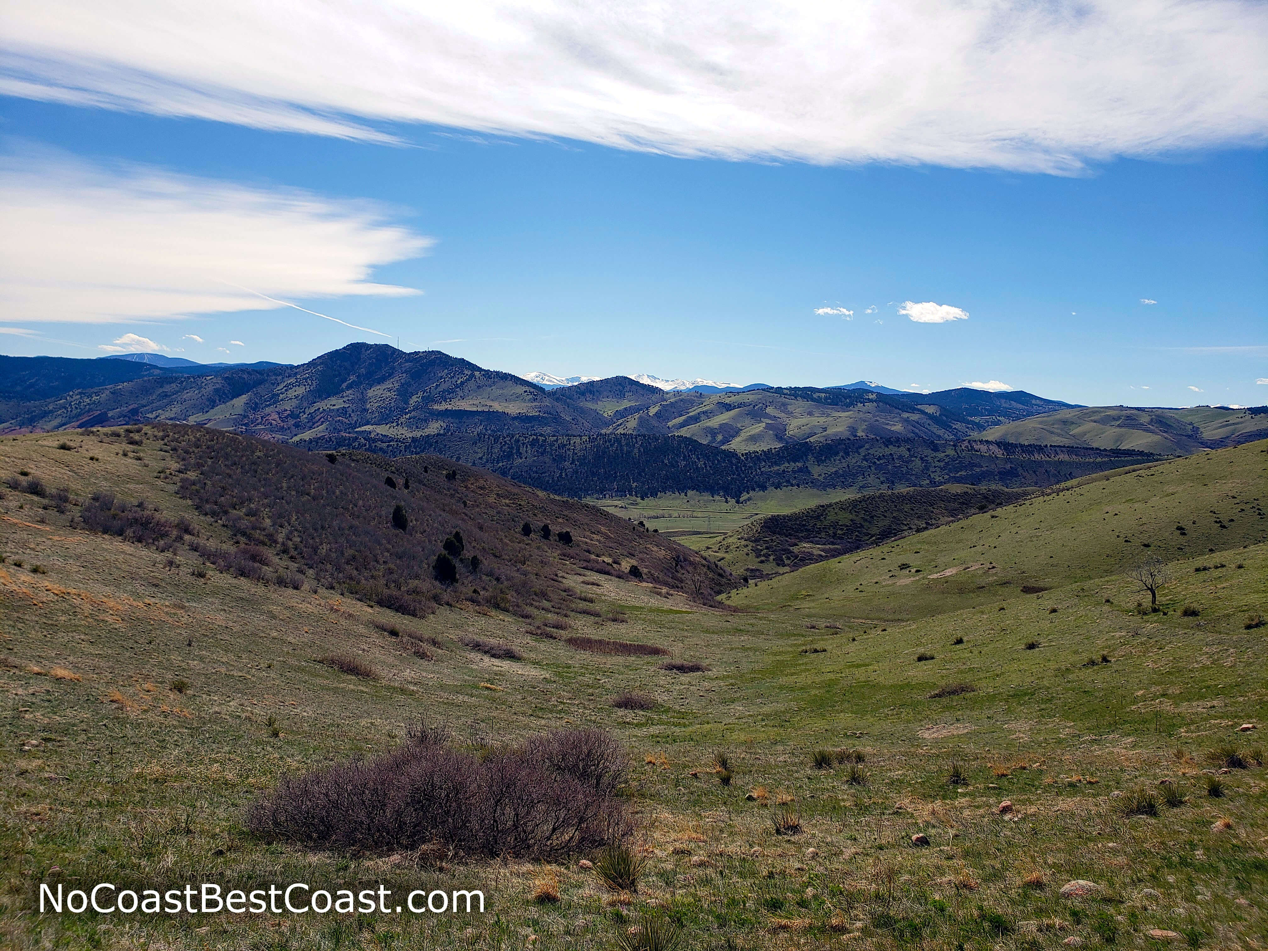
The Rocky Mountains to the west of Green Mountain's summit
Climb Green Mountain next time you want to go for a solid hike but don't want to drive a long distance. Connect with me using the social media links below and share your adventures!
Hiked on Tuesday, April 28th, 2020 by Ricky Holzer
Important Information
Dogs are allowed on leash. With just over 700 feet of elevation gain, this hike is too difficult for younger children, and there are no substitute trails in this park -- they all involve significant uphill. There is absoultely no shade on this hike, so you should avoid the trail during the summer. Visit during fall and spring for the best conditions, though you can climb easily during snow-free times in winter as well. Expect to see people no matter when you visit, and be on alert for mountain bikers during your hike.
Directions
From Denver, take U.S. Highway 6 west. Exit at Union Boulevard, then turn left. Turn right onto Alameda Avenue. The entrance for the parking lot will be on the right just past the left turn lane for Florida Drive.
Google Maps Directions
Parking, Fees, and Facilities
Parking is free! This is a popular park, so parking often fills up during peak times. You can find another, smaller parking lot further down Alameda Avenue; otherwise, check the official park map linked at the bottom of the page to find additional parking areas and amend your route up Green Mountain accordingly.
There is a portable toilet in the parking lot.
Nearby Hikes
Deer Creek Canyon Park, Colorado
★★★★☆(4/5)
Bluffs Regional Park, Colorado
★★★☆☆(3/5)
Roxborough State Park, Colorado
★★★★★(5/5)
Roxborough State Park, Colorado
★★★★★(5/5)