| Rating | ★★★★☆(4/5) |
| Overall Difficulty | Easy |
| Navigation Difficulty | Easy |
| Distance | 0.2 miles roundtrip |
| Time | 15 minutes |
| Terrain | Mostly flat |
| Best Seasons | All |
| Dog Friendly | No |
| Accessible | No |
Highlights
- One of the best views of the badlands in the park
- See the Black Hills as they rise above the prairie
Hike Summary
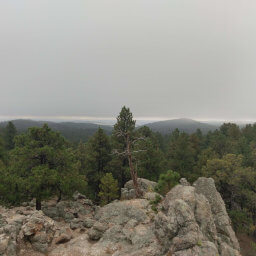
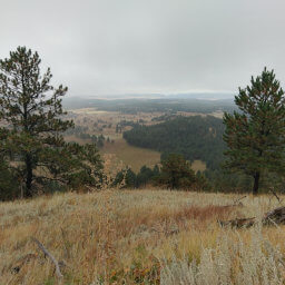
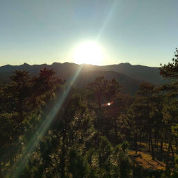
As the highest point in Badlands National Park, Red Shirt Table offers some of the best views in the entire park. The long, roundabout journey required to reach here deters most people, so this is an opportunity to take some unique photos. The views from the pullout are decent, but you need to follow a short use-trail to the edge of the badlands for the best vantage point, see the picture below.
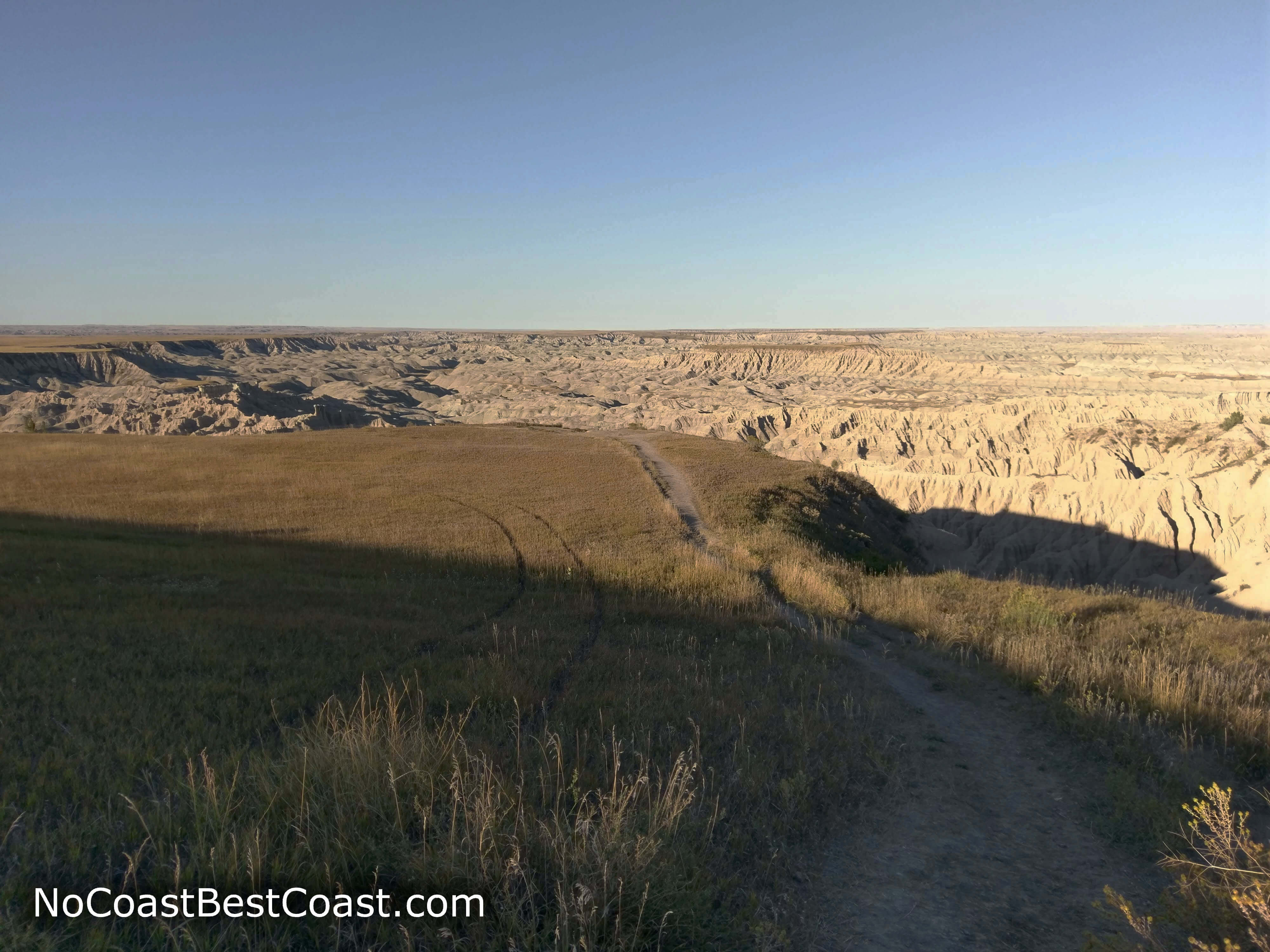
The use-trail leading to the edge of the badlands
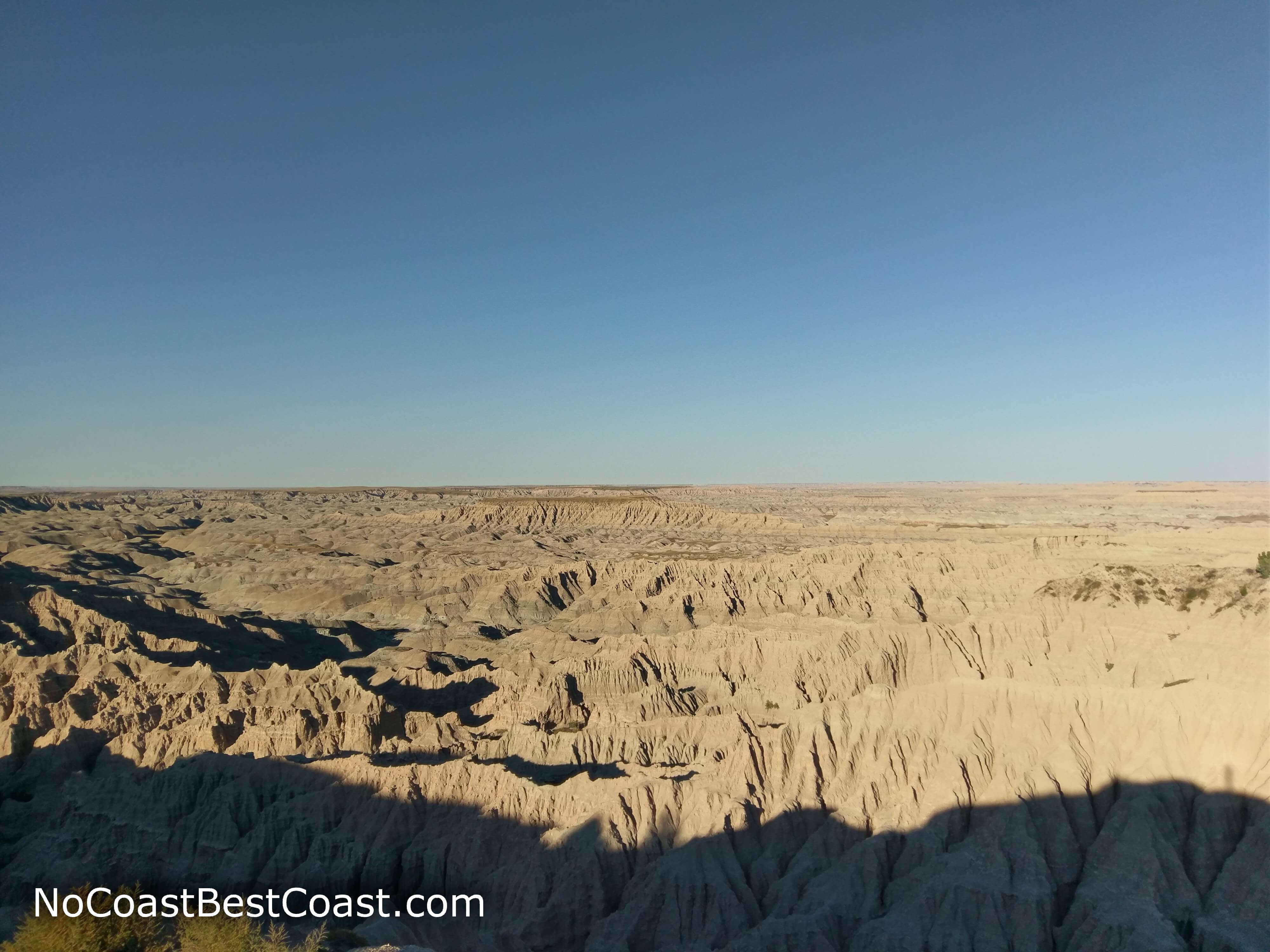
Vast views of the badlands from Red Shirt Table
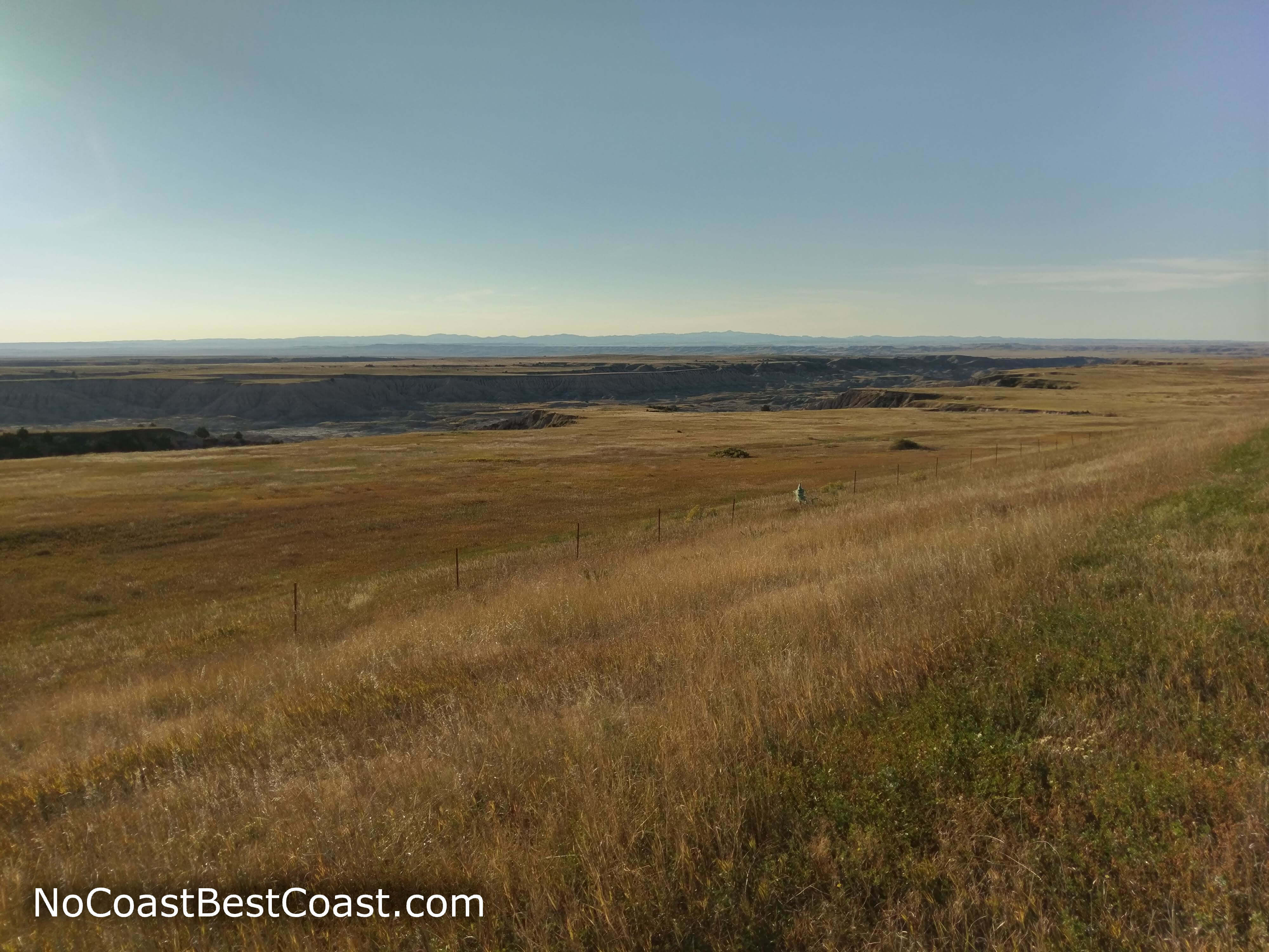
The Black Hills rise above the prairie in the distance
Hiked on Friday, September 21st, 2018 by Ricky Holzer
Important Information
Even though it's technically within Badlands National Park, this is really just a pullout with a view located a long way, inconvenient trek from the main part of the park. As such, the strict no dogs on trails rule of the main park likely won't be enforced here. In addition, the long distance from the main park keeps the crowds of people away. I was by myself until a group of cars stopped to enjoy the late afternoon view. Since this is a drive up destination, turnaround time is quick if you want to have the place to yourself for a moment. You can drive here any time of the year, and since you won't be hiking long, it's tolerable to be here even in the hot summer and cold winter. While the view and short trail is family friendly, consider whether or not the long drive is worth it with kids in the car.
Directions
Whether you're coming from the west or the east on Interstate 90, it's recommended that you take this route -- the roads on the far southeast end of Badlands National Park are notoriously rough. From Rapid City, head south on South Dakota Highway 79, then turn left on South Dakota Highway 40. Continue straight for a little under 30 miles until you see a sign labeling the pullout and the shelter pictured below on the east side of the road.
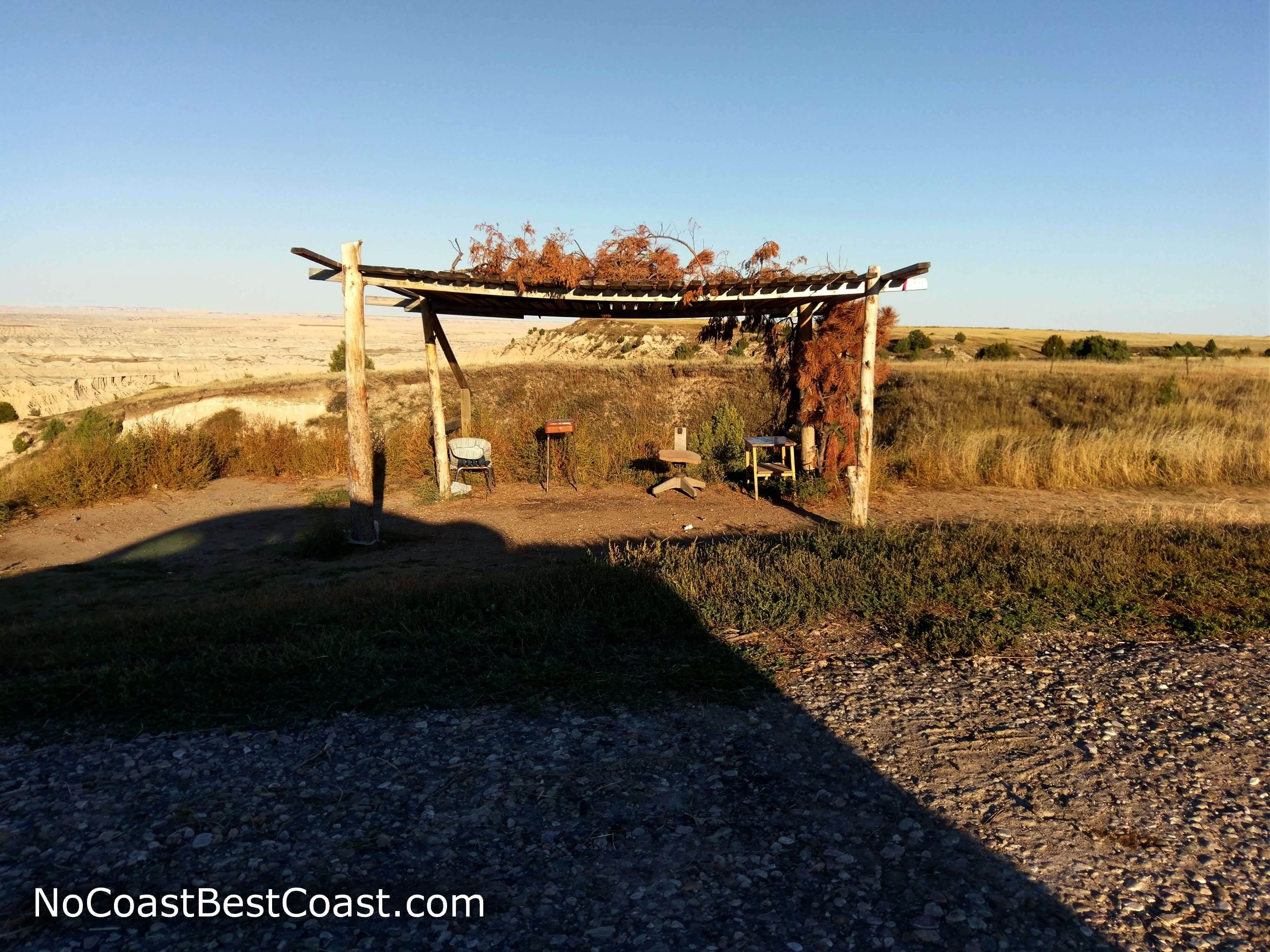
This makeshift shelter marks the pullout for the Red Shirt Table viewpoint
Google Maps Directions
Parking, Fees, and Facilities
Parking is free! There are no facilities here.
Nearby Hikes
Custer State Park, South Dakota
★★★★☆(4/5)
Wind Cave National Park, South Dakota
★★★☆☆(3/5)
Wind Cave National Park, South Dakota
★★★★☆(4/5)
Black Hills National Forest, South Dakota
★★★★☆(4/5)