| Rating | ★★★★★(5/5) |
| Overall Difficulty | Moderate |
| Navigation Difficulty | Easy |
| Distance | 4 miles roundtrip |
| Time | 2 hours |
| Terrain | Hilly |
| Best Seasons | Spring, Fall |
| Dog Friendly | Yes |
| Accessible | No |
Highlights
- Summiting the highest peak in North Dakota
- Panoramic views
Hike Summary
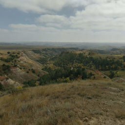
Summitting White Butte marked my 7th state highpoint, and one that actually required a bit of climbing. Located about an hour south of Theodore Roosevelt National Park in southwestern North Dakota near the South Dakota border -- one of the least densely populated parts of the U.S. -- this place feels especially remote despite being surrounded by active farms. Unlike the flat highpoints in the Midwest that don't require any physical exertion to reach (I'm looking at you Nebraska and Iowa), White Butte actually looks like a mountain.
To be honest, the first part of the hike is absolutely boring. It's flat and nearly perfectly straight through farmland. Save for the cows chewing grass beyond the fence on either side of the trail (pictured below), the scenery is monotonous. The most interesting part may be pondering what kind of person owns the neighboring farm to your left as you read the threatening no trespassing signs and see relatively new electric fencing.
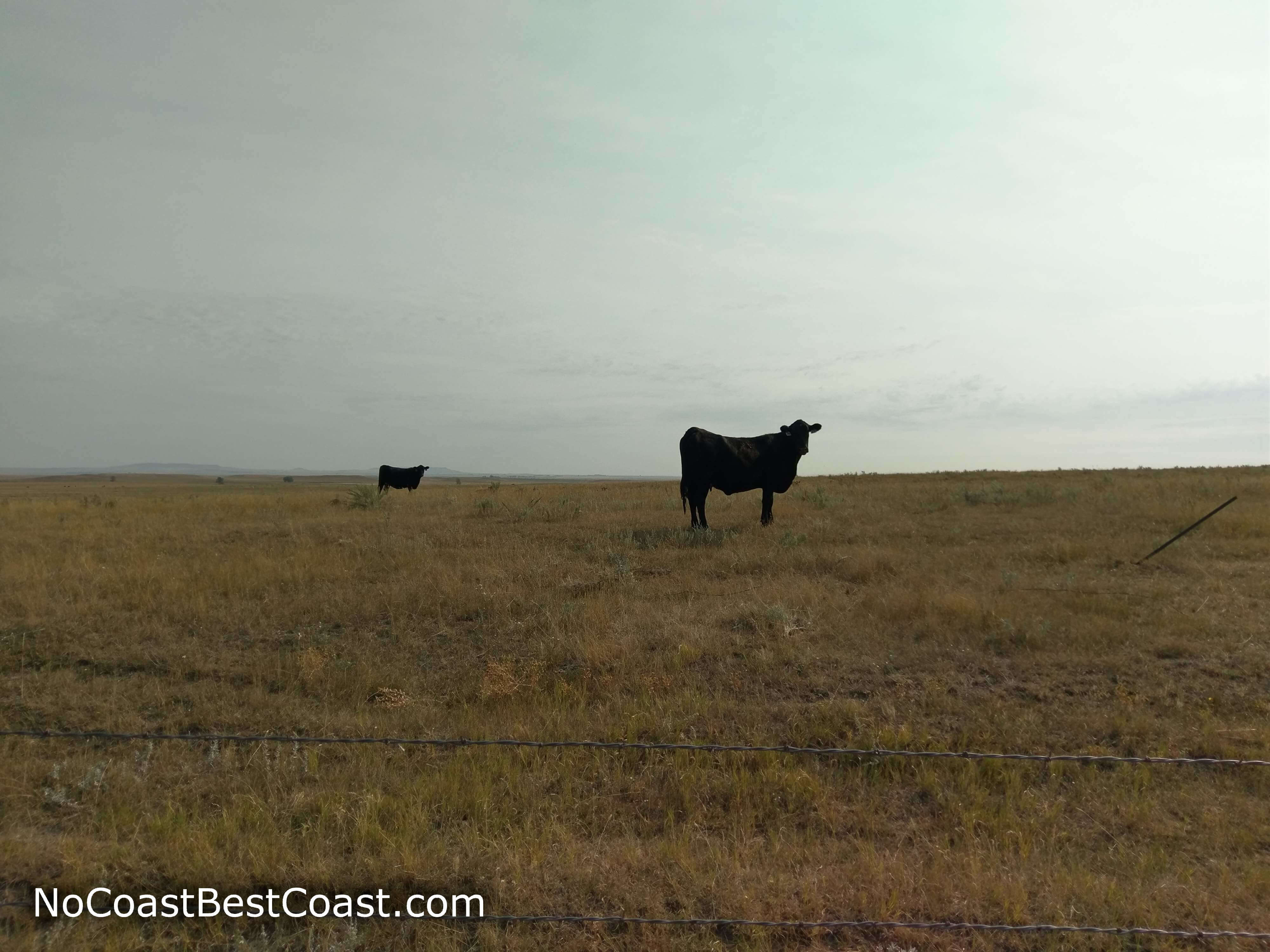
You'll be sharing part of the trail with cows
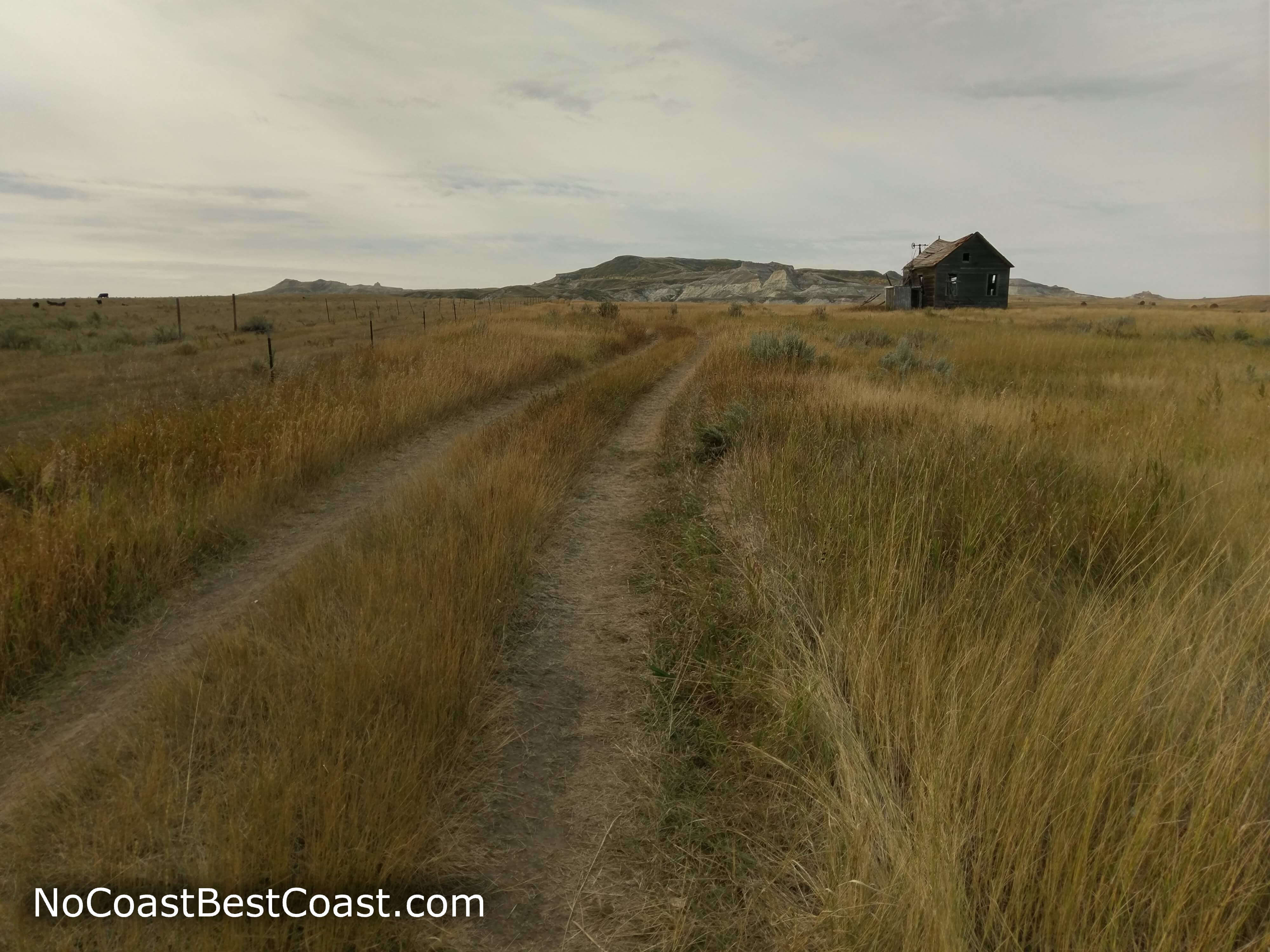
You'll pass this abandoned farmhouse along the way
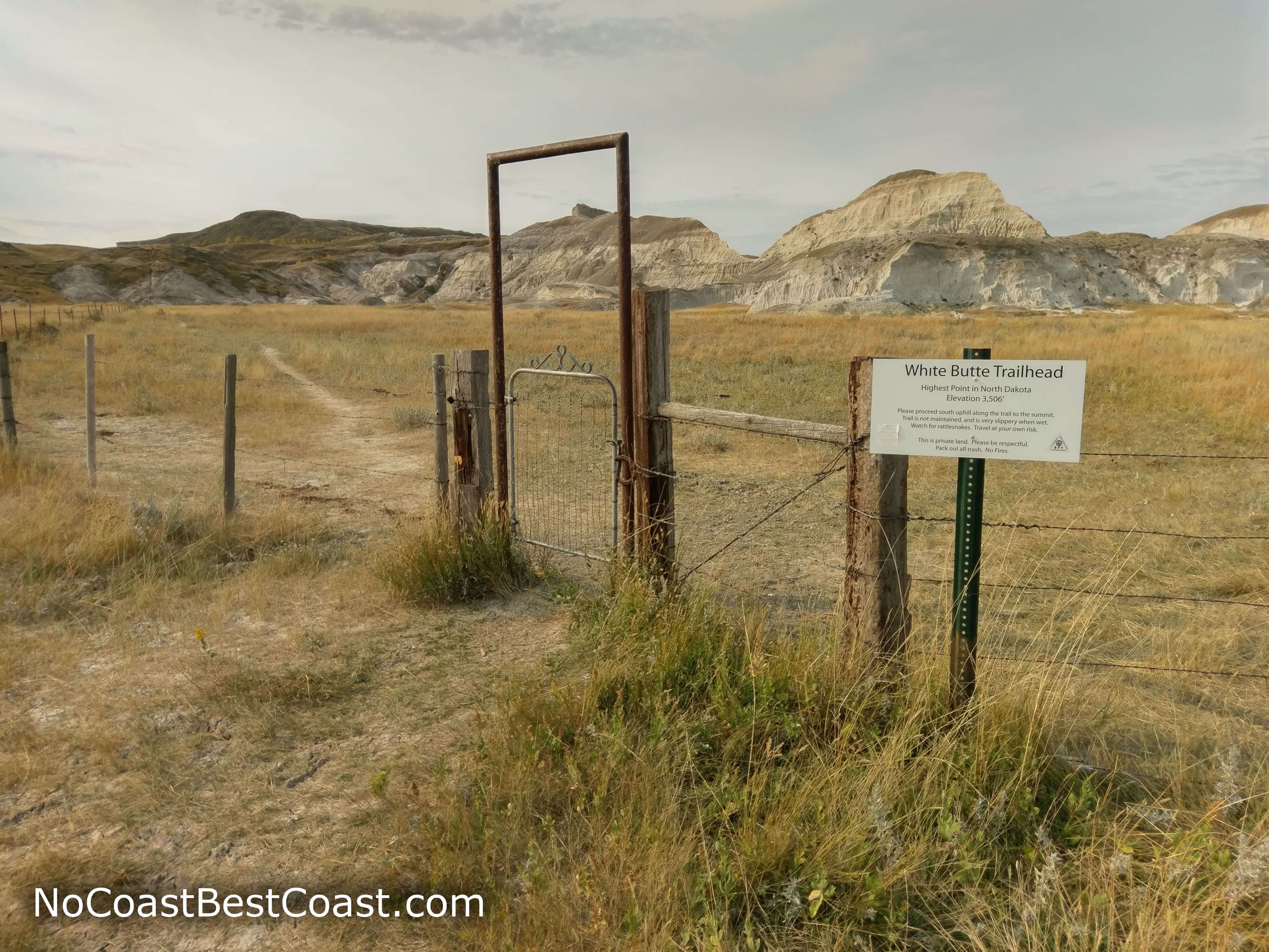
The entrance gate to the trail
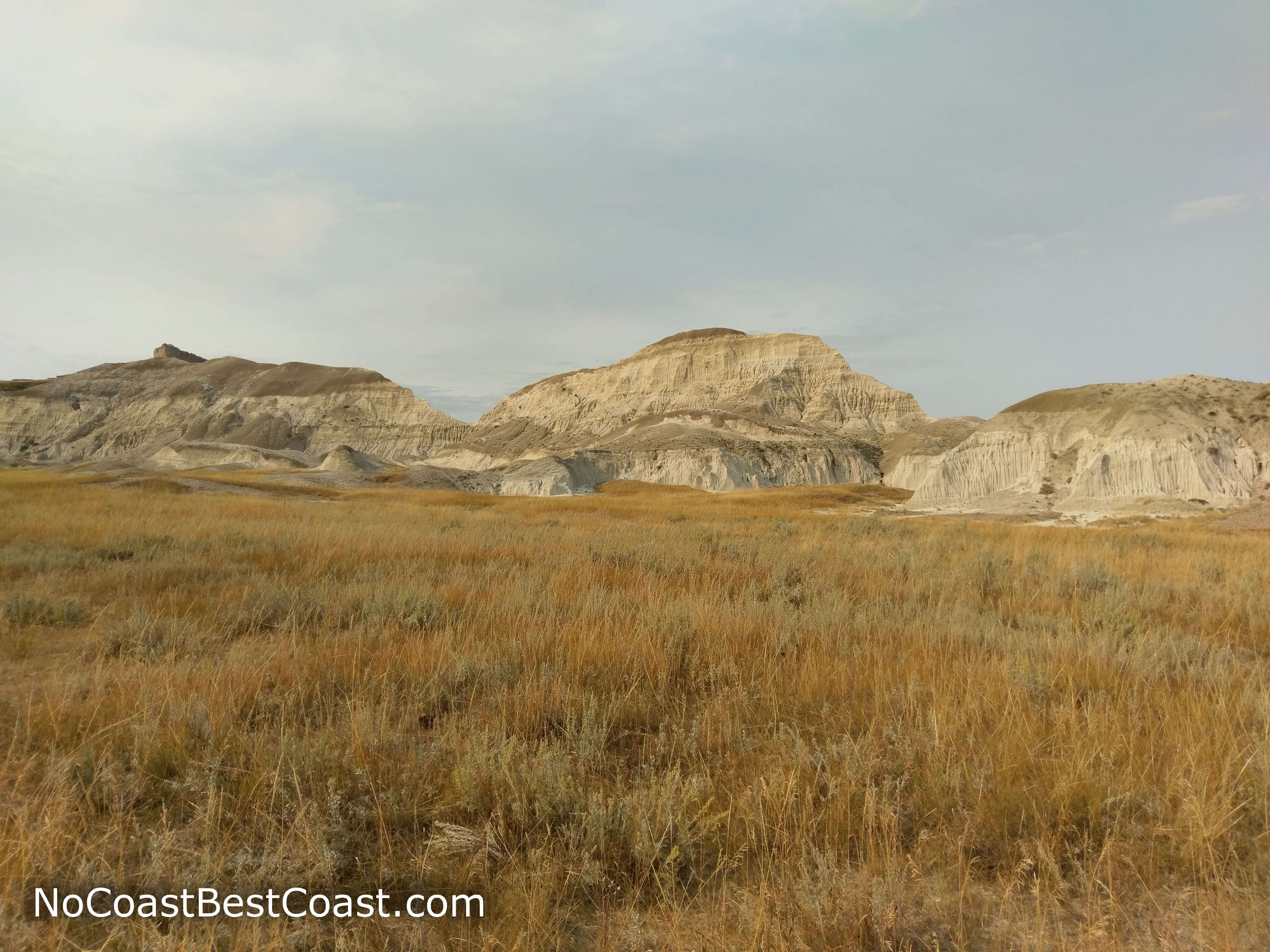
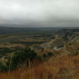
Limestone buttes lining the side of the trail
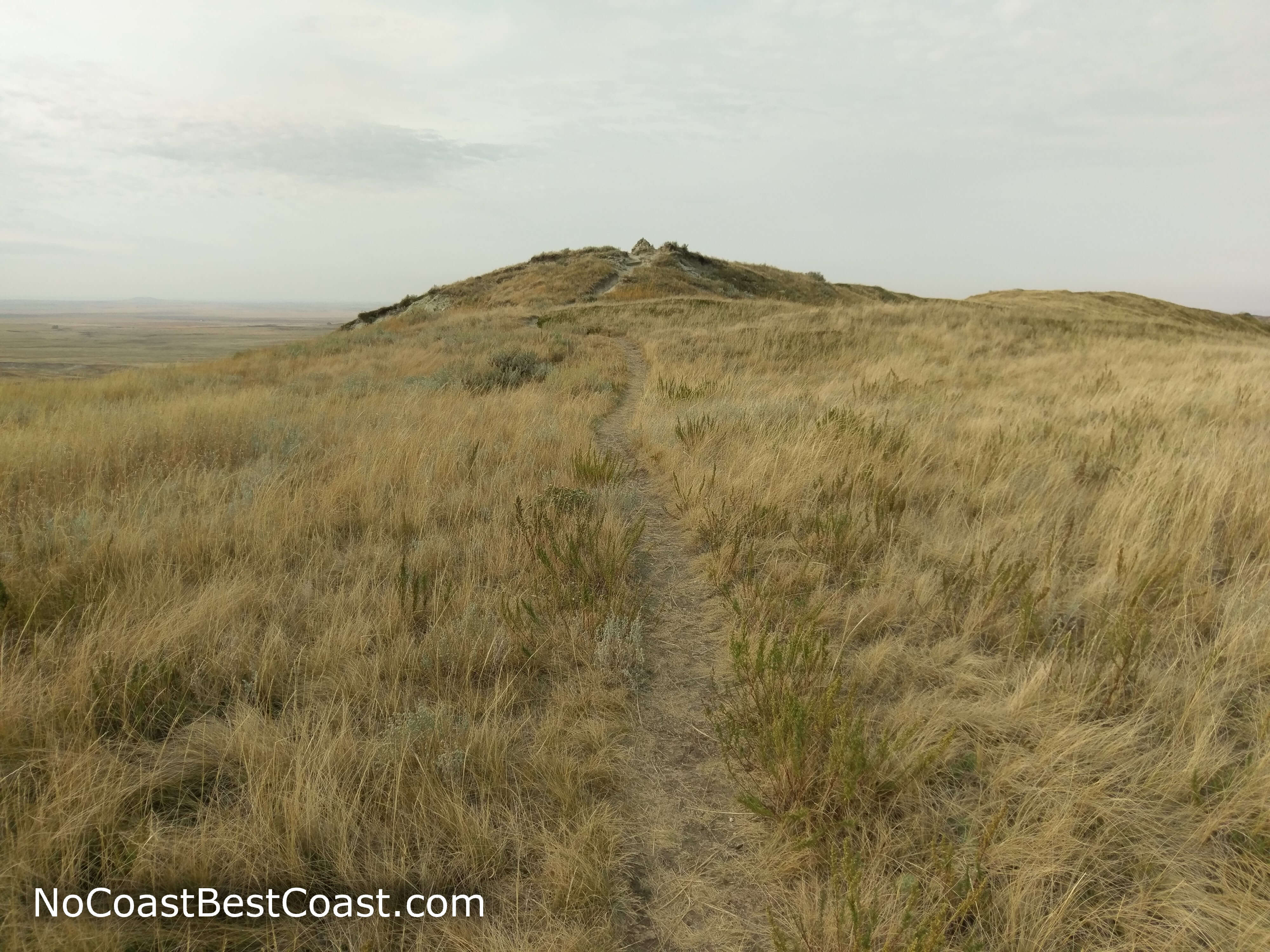
The final push to the summit
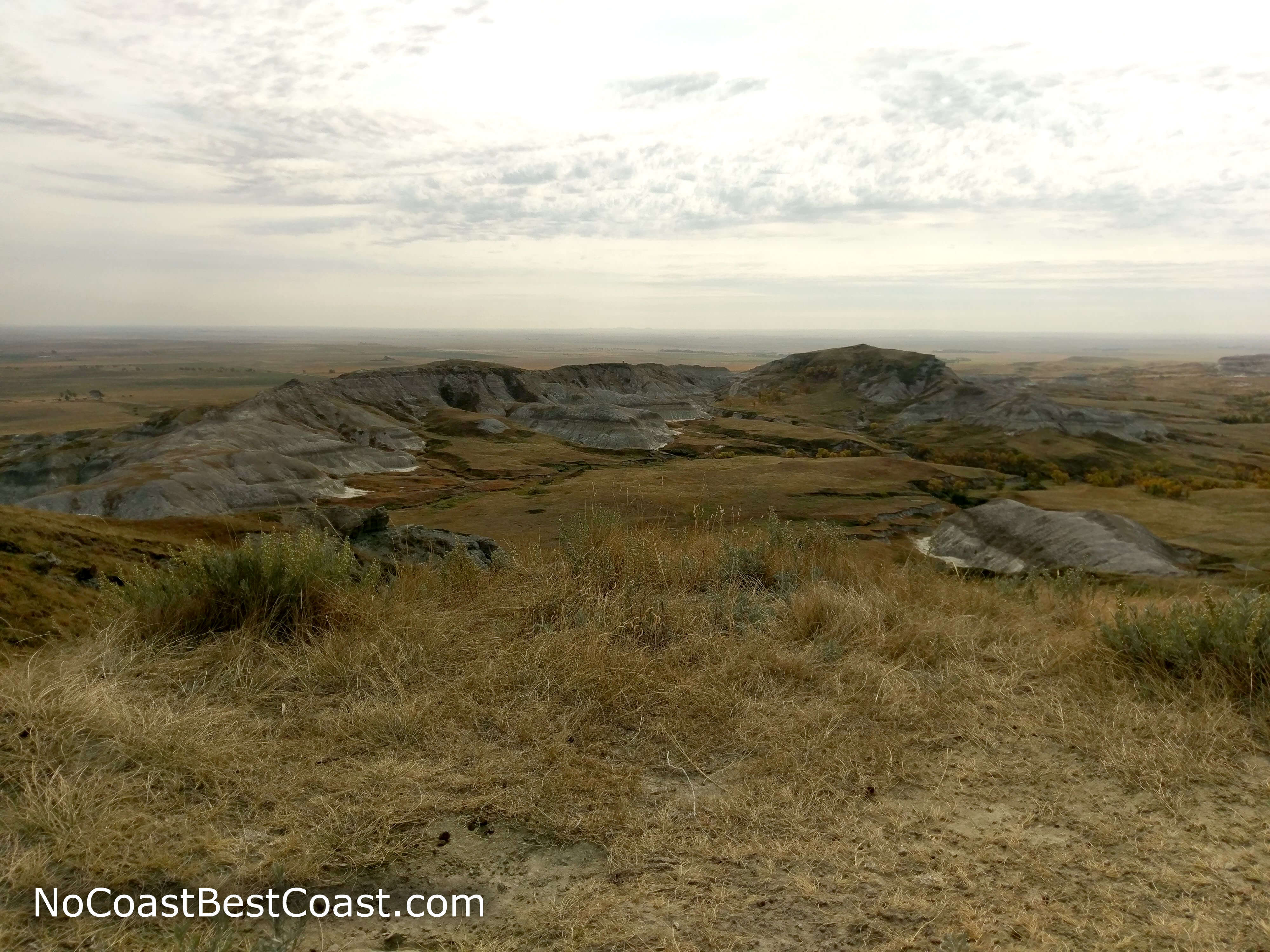
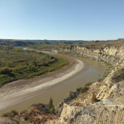
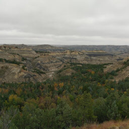
The view of chalky buttes as seen from White Butte's summit
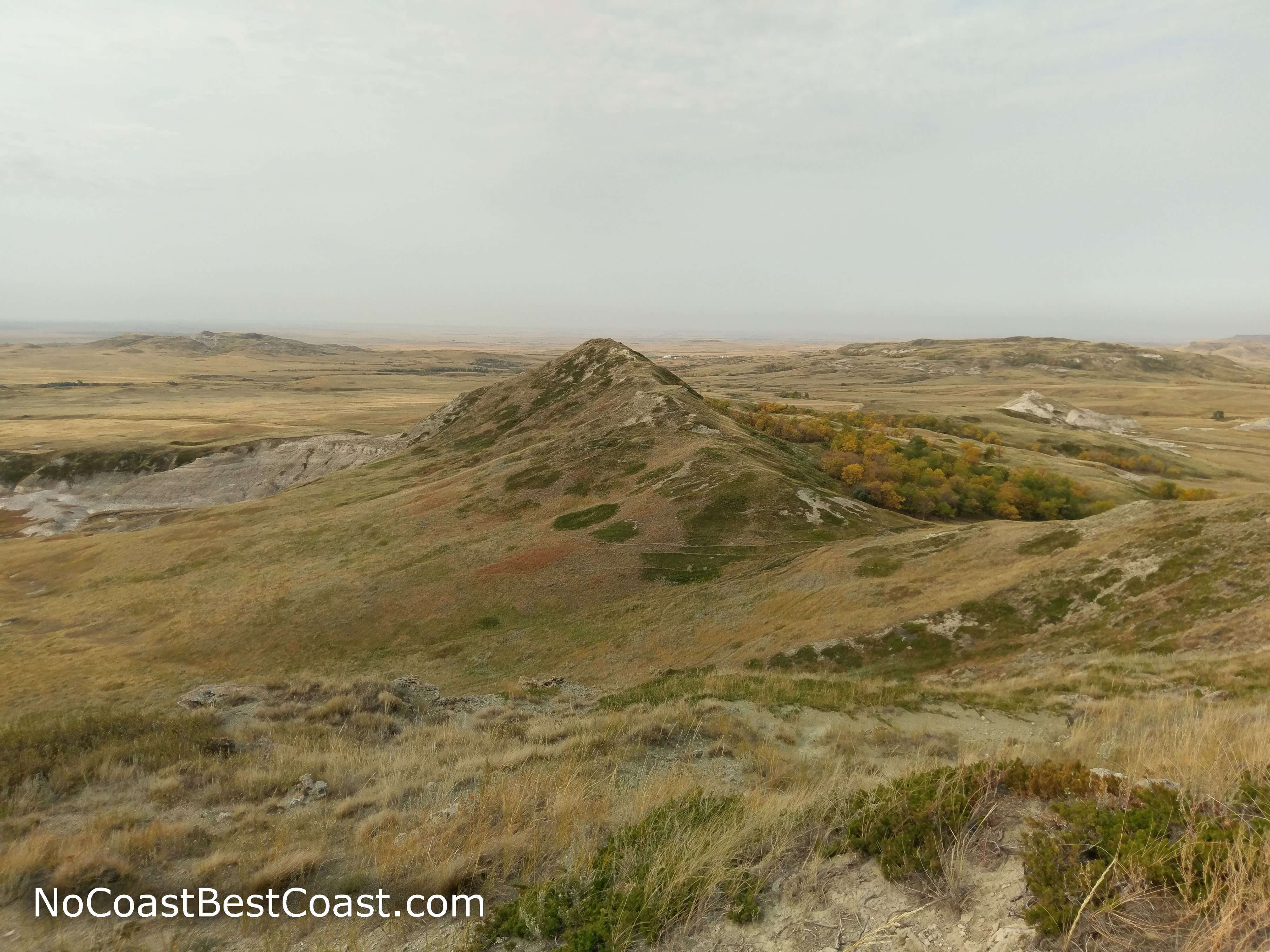
The ridgeline extending west from the summit
Hiked on Tuesday, September 18th, 2018 by Ricky Holzer
Important Information
The most important thing to consider is that this trail lies on private property in middle of nowhere North Dakota; while there aren't any rules and you may not get caught doing something questionable, your actions here may cause this place to be closed to the public forever. There are no signs outlawing dogs, but do know that half of the trail is on active rangeland. Keep your dog on leash unless you know how your dog reacts to cows, and be sure to pick up after it. This is not a family friendly hike given the distance and less-maintained trail condition -- head to Theodore Roosevelt National Park instead for a fun family trip. While there aren't restrictions on seasons, I do not recommend hiking during the brutally hot, shadeless summers nor the frigid, windy, and icy winters. Furthermore, beware of rattlesnakes on warm days. Even though this is a notable destination, I wouldn't expect to see anyone else while doing this hike given its remoteness.
Directions
Unlike my luck with other state highpoints, simply typing "White Butte" in Google Maps did not yield the proper directions, though it did take me close. Luckily, you can click the Google Maps link below and it will take you to the right place. From Belfield, North Dakota along Interstate 90, head south on U.S. Highway 85. After the road curves to the west, look for the sign for White Butte (I was actually surprised to see a sign, must be a new addition), then turn left on the dirt road 140th Avenue. That sign on the main highway was the only one you'll get, however. Watch your odometer, and turn right on an unmarked dirt road after about 5 miles. One mile ahead, park on the left side of the road as labeled by the small, white sign pictured below. Although it looks like a road heads south towards White Butte, don't go any further -- the landowners specifically marked this area by the main road as the designated parking.
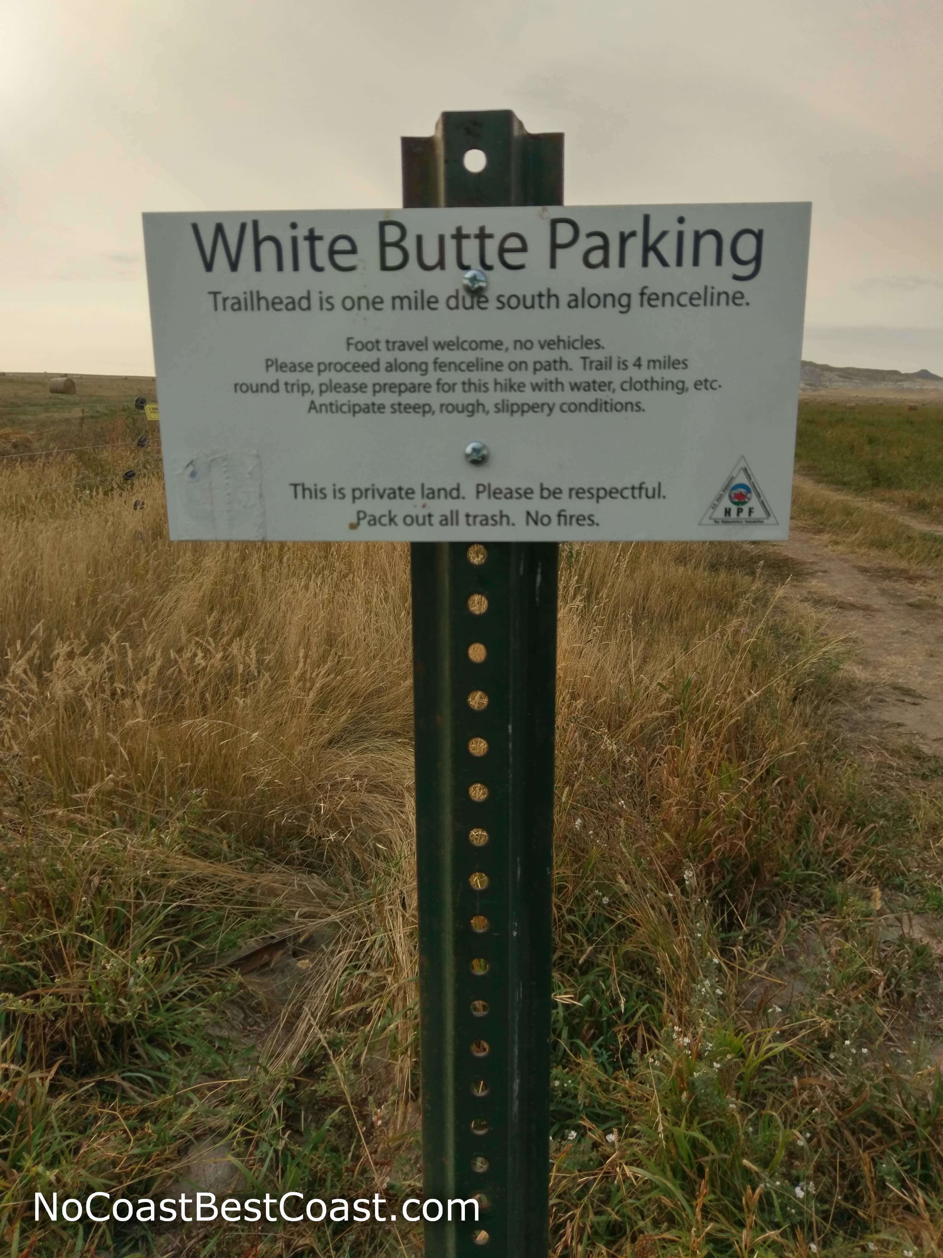
This white sign designates the parking area for White Butte
Google Maps Directions
Parking, Fees, and Facilities
While parking is technically free, a donation is suggested to help maintain public access to this private property. I paid $5 into the red pole located across the driveway from the parking area, pictured below.
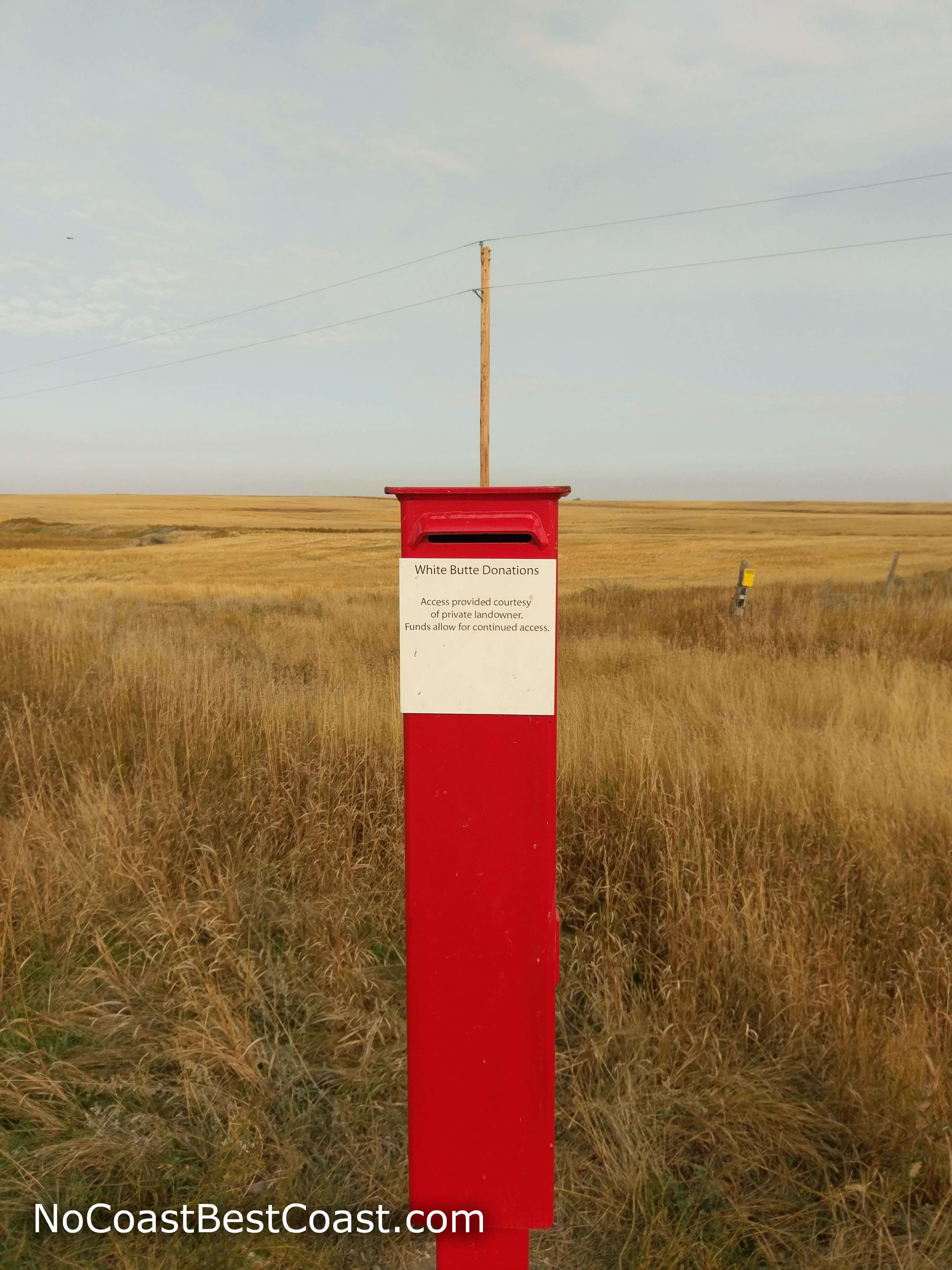
Please place a small donation in this red slot to keep White Butte public!
Nearby Hikes
Theodore Roosevelt National Park, North Dakota
★★★★★(5/5)
Theodore Roosevelt National Park, North Dakota
★★★★☆(4/5)
Theodore Roosevelt National Park, North Dakota
★★★★☆(4/5)
Theodore Roosevelt National Park, North Dakota
★★★★★(5/5)