| Rating | ★★★★★(5/5) |
| Overall Difficulty | Moderate |
| Navigation Difficulty | Easy |
| Distance | 4 miles roundtrip |
| Time | 2 hours |
| Terrain | Hilly |
| Best Seasons | Spring, Summer, Fall |
| Dog Friendly | Yes |
| Accessible | No |
Highlights
- Challenging but rewarding hike
- Views of the Mississippi
- Beautiful landscape with mossy logs and fallen trees
Hike Summary
This hike made me fall in love with Southeastern Minnesota. Unlike the mostly flat Twin Cities, there are many impressive bluffs along the river. Even better, these hills mean there is less standing water and fewer bugs here -- I didn't use bug spray at all during this hike and I wasn't eaten alive! And at only an hour and a half away from the Twin Cities, this state park is the perfect day trip.
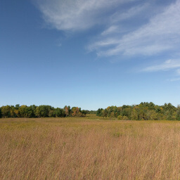
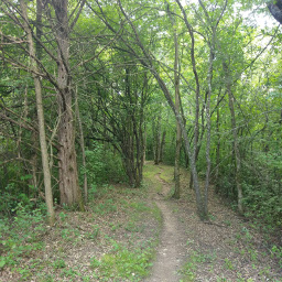
From the parking lot, follow the paved trail past the restrooms and towards the campground. Coming up on the right, there will be an overlook at Point-No-Point. At the first intersection, continue onto the unpaved trail. The trail will wind up and down through lovely forest, and you will see many mossy logs covered in fungus like pictured below.
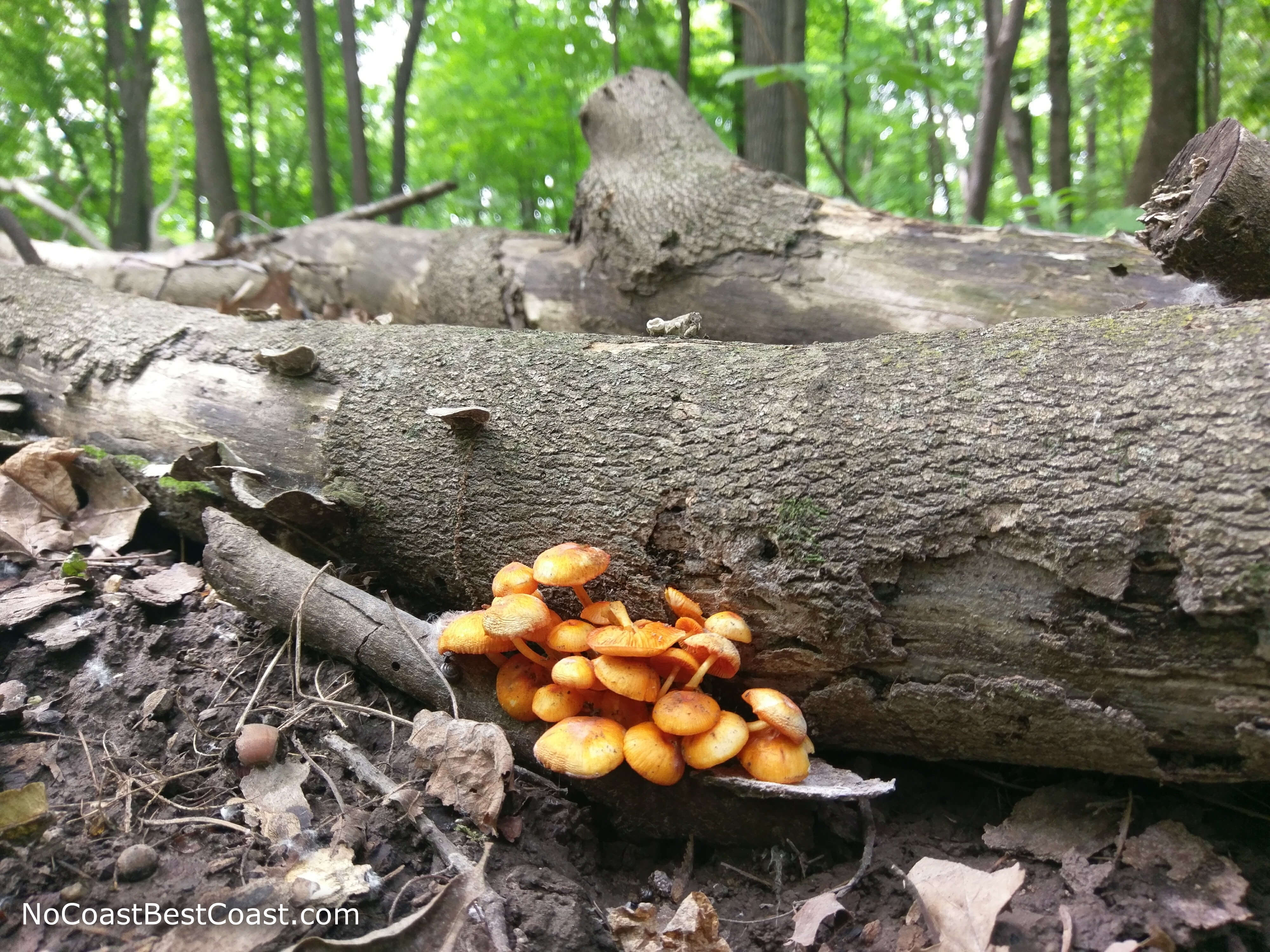
Fungus growing on a fallen tree
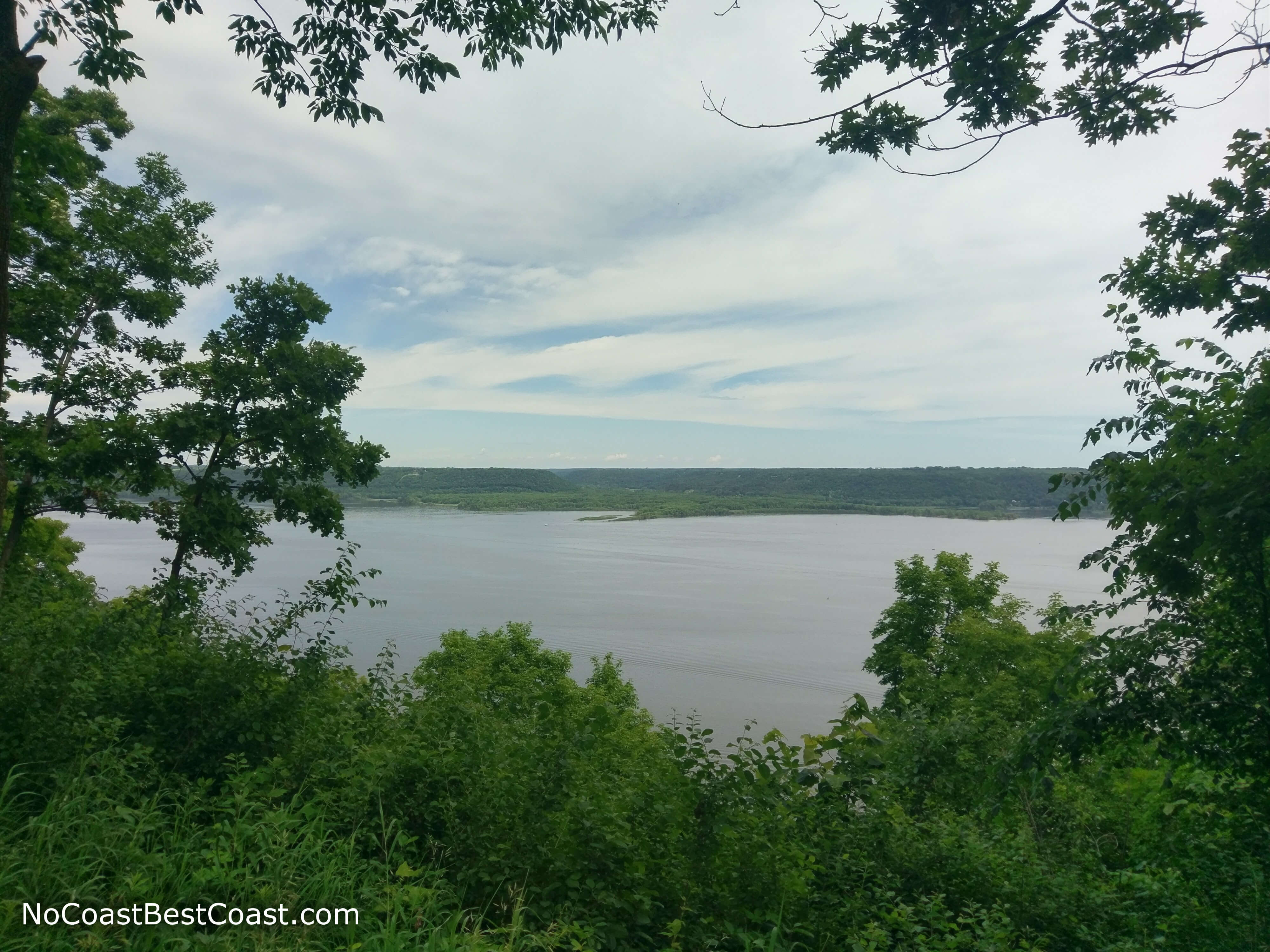
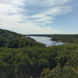
View of the Mississippi from one of the overlooks
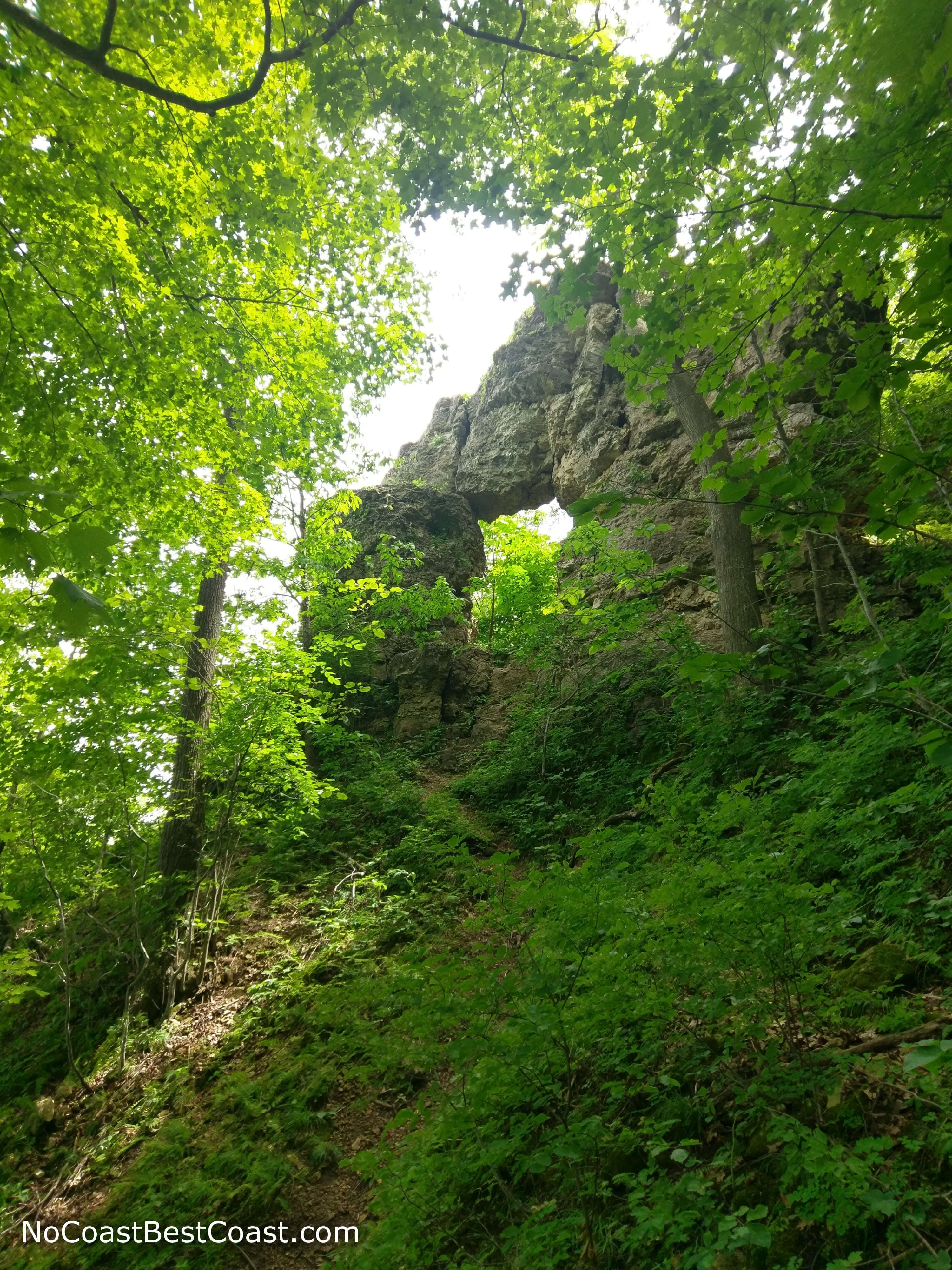
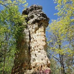
Looking at In Yan Teopa Rock from the trail
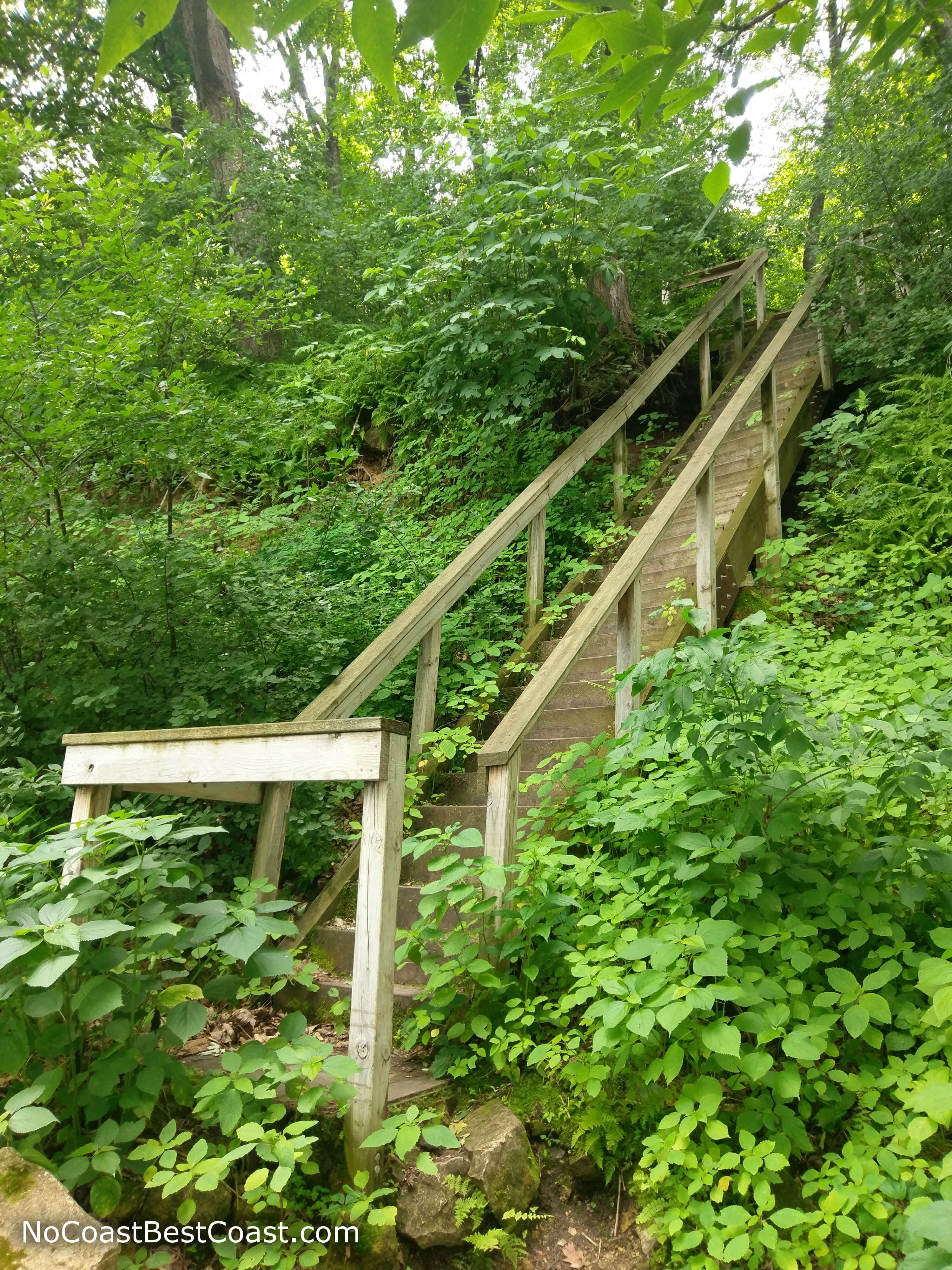
The steep stairs down to the Mississippi River
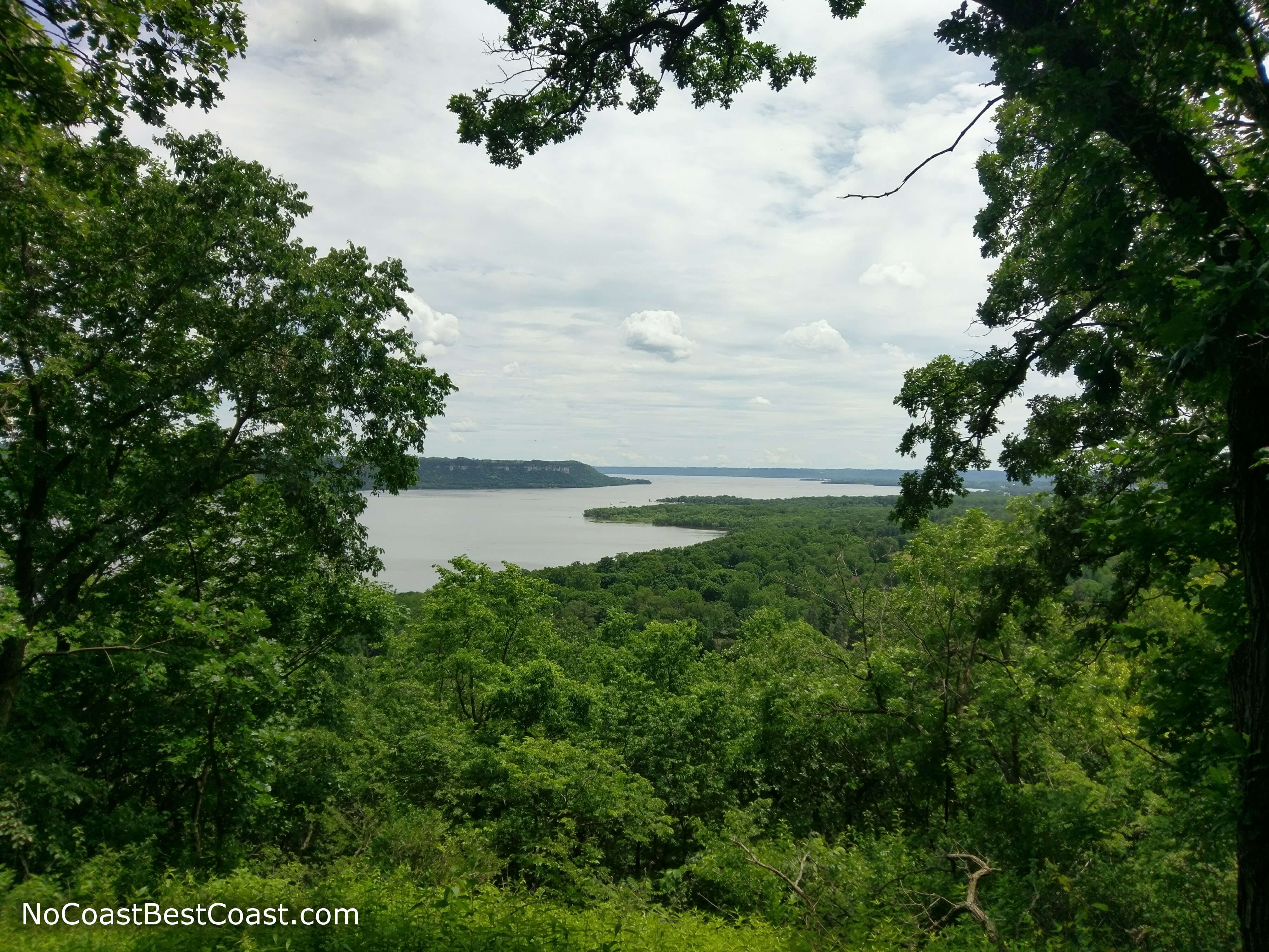
Overlooking the bluffs of the Mississippi River
Hiked on Saturday, June 17th, 2017 by Ricky Holzer
Important Information
Dogs are allowed on a leash. This loop trail is not particularly long, but the steep climbs make it difficult for young kids. There are several overlooks within a short distance from the parking lot if you are looking for a more family friendly option. The Hiking Club Trail is another 2.5 mile loop that would be more suitable for children, but the nature of this park means there will be some uphill on most hikes.
Directions
Funnily enough, the fastest route from the Twin Cities actually takes you through Wisconsin. Take Interstate 94 to U.S. Highway 10/61 heading south towards Hastings. Instead of crossing the bridge into Hastings, turn left onto Point Douglas Drive/U.S. Highway 10. After crossing into Wisconsin, turn right on the first street in Prescott, Broad St (Wisconsin Highway 35). Continue on Wisconsin Highway 35 for a while, then turn right onto County Road VV -- if you miss this turn, just continue straight and turn right onto U.S. Highway 63. Turn right onto U.S. Highway 63, then after crossing the bridge back into Minnesota, follow signs for U.S. Highway 61 South. After driving about 15 minutes, watch for signs for Frontenac State Park, then turn left on County 2/Galia Avenue. Turn left once again at the sign for the park onto County 28, then stop at the ranger station.
Google Maps Directions
Parking, Fees, and Facilities
Like all Minnesota State Parks and Recreation Areas, you must pay a vehicle entry fee of $7 per day or $35 for an annual pass (highly recommended if you frequently go to Minnesota State Parks). There are picnic benches and flush toilets near the parking lot (note for guys: stand back when flushing the urinals or you will get wet).
Nearby Hikes
Kinnickinnic State Park, Wisconsin
★★★★☆(4/5)
Minnesota
★★★☆☆(3/5)
Kinnickinnic State Park, Wisconsin
★★★☆☆(3/5)
Afton State Park, Minnesota
★★★★☆(4/5)