| Rating | ★★★★★(5/5) |
| Overall Difficulty | Easy |
| Navigation Difficulty | Easy |
| Distance | 0.5 miles roundtrip |
| Time | 30 minutes |
| Terrain | Hilly |
| Best Seasons | All |
| Dog Friendly | Yes |
| Accessible | No |
Highlights
- Astounding views of beautiful Boundary Waters lakes
- Low effort, high reward
Hike Summary
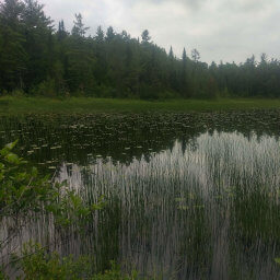
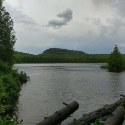
In terms of the amount of effort required and the extreme beauty of the view at the top, not much can beat this hike. As such, this is definitely a popular destination on the Gunflint Trail. If this is your first time on the Gunflint, this is one of the must see places that really showcases the natural scenery here.
I've seen many different distances for this hike in every source I've read. The map at the trailhead says 3/4 mile, and the official page linked at the bottom of the page says 1 mile. My own GPS measurements that created the red line on the map above calculated half a mile, and that's what I'm sticking with. In any case, this is a short hike. If you can walk up a couple flights of stairs -- even at a slow pace with breaks -- you can do this hike.
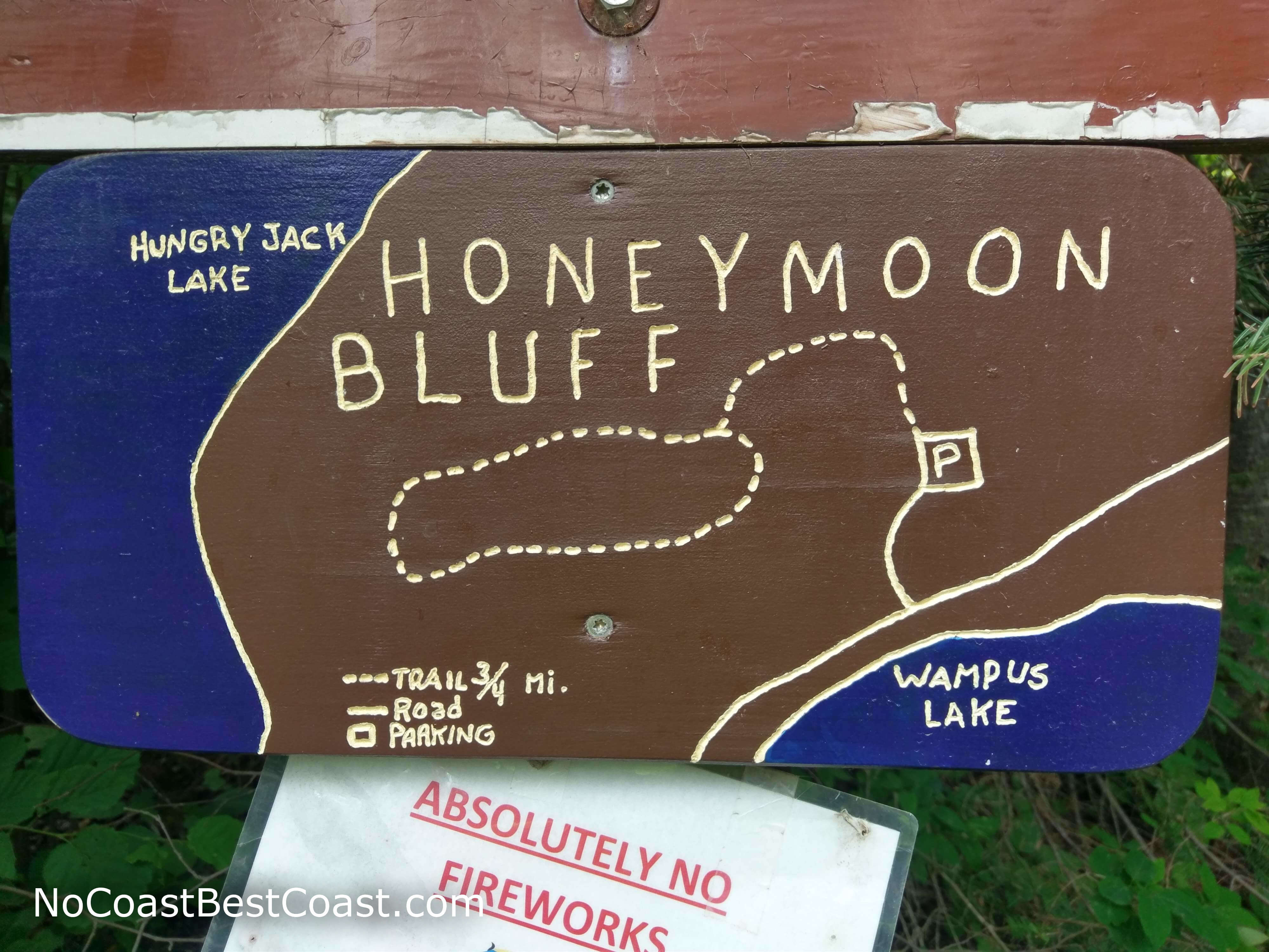
The hand-carved map at the trailhead
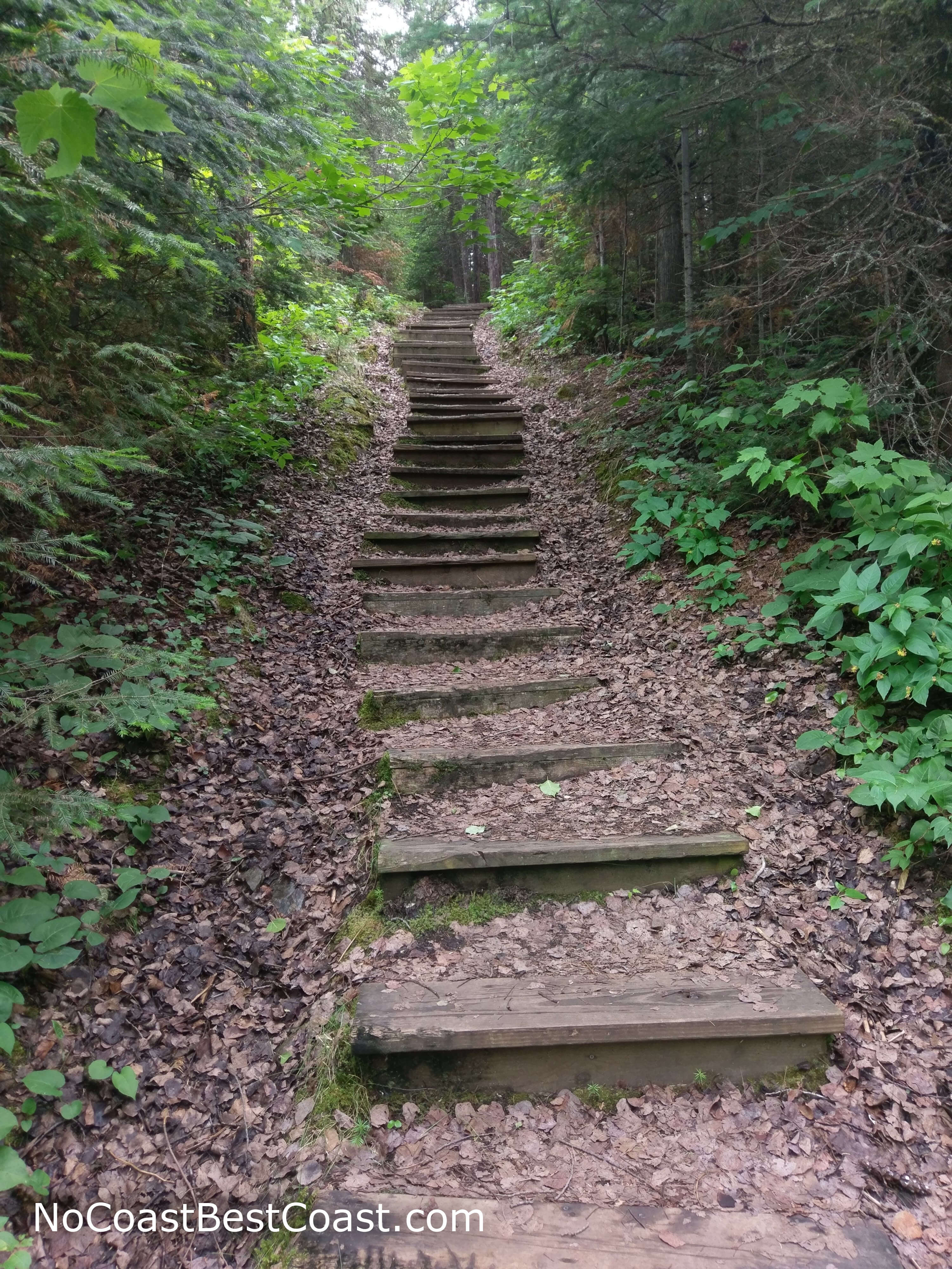
Beauty awaits at the top of these stairs
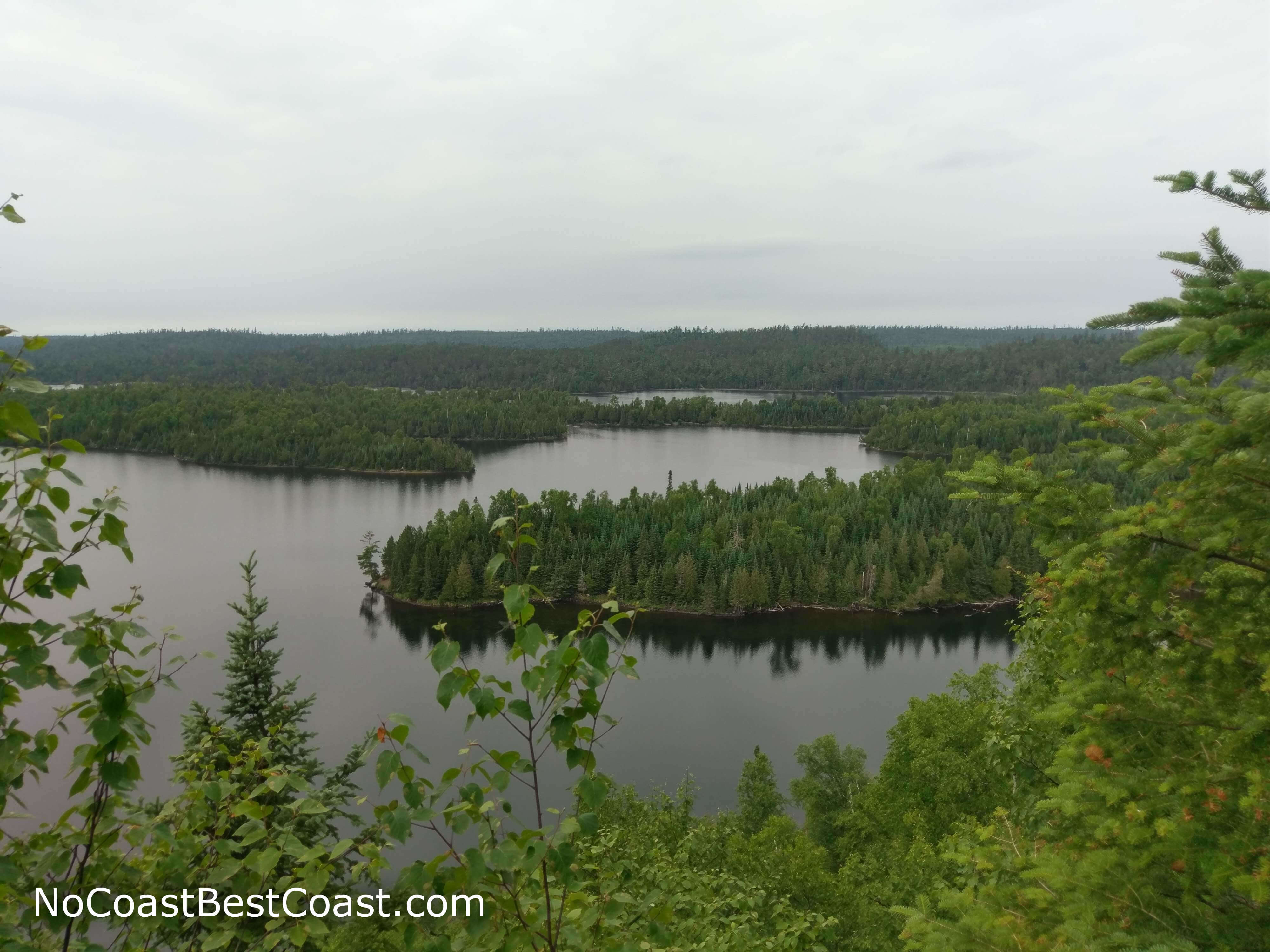
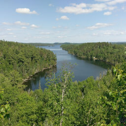
The view from the top of Honeymoon Bluff looking to the north
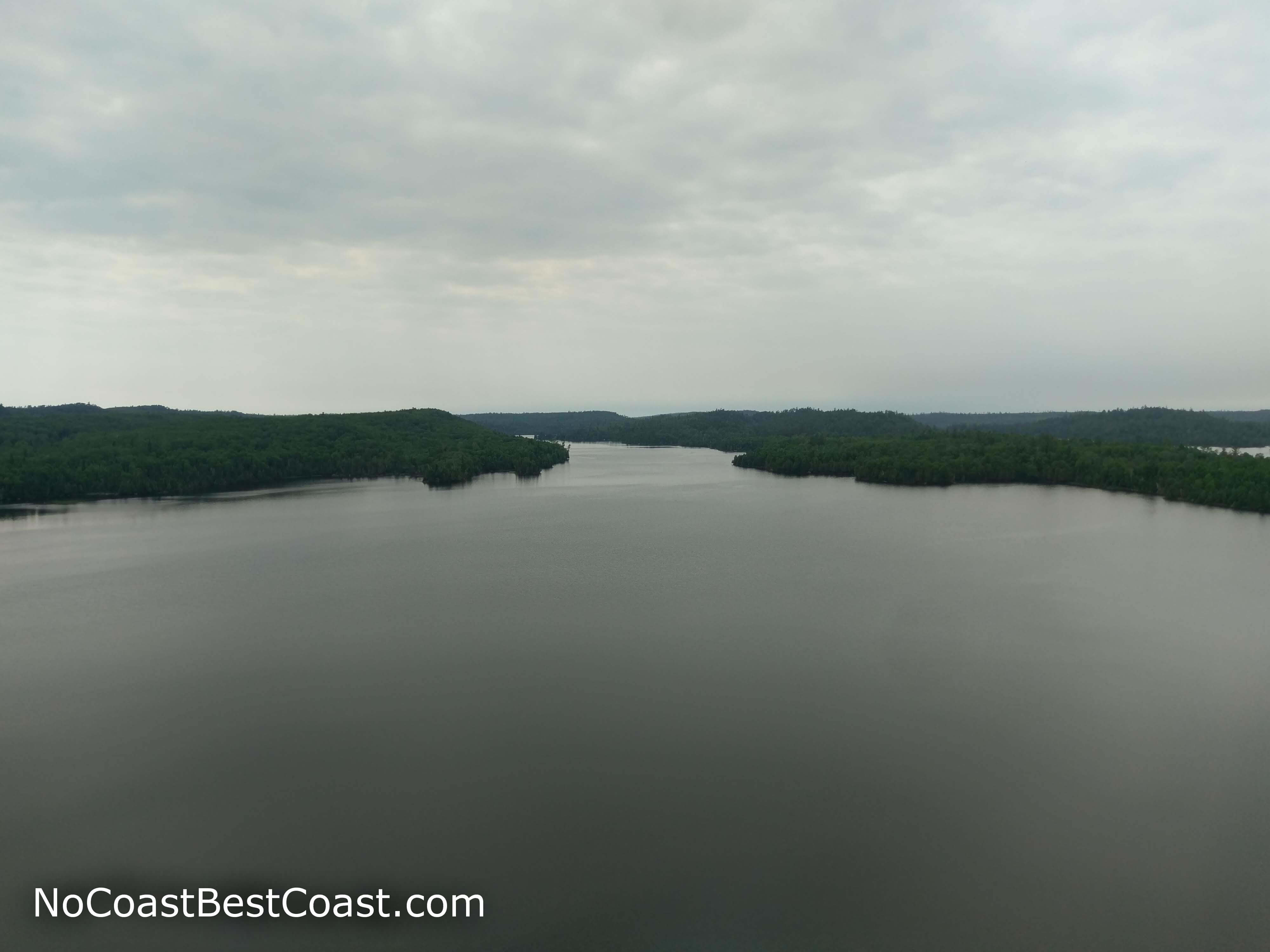
This view overlooking Boundary Waters lakes is a perfect photo spot
Hiked on Friday, June 29th, 2018 by Ricky Holzer
Important Information
Dogs are allowed, and regulations don't explicitly state whether or not a leash is required, just that your dog remains "under control". This trail is great all year, though snow may make the drive more difficult and the stairs on the trail may be slippery when wet or icy. The shortness of this hike means it's great for all ages, just watch children closely near the cliff edges -- they have constructed wooden railings here as a precaution, but they are easy to climb over or under. I went on a late Friday afternoon and saw a couple people, but I expect this is a popular destination on a weekend.
Directions
From Grand Marais, drive up the Gunflint Trail (Cook County Highway 12) for about 26 miles, then turn right onto Clearwater Road (Cook County Highway 66) shortly after seeing the brown sign for Flour Lake Campground. Continue straight for about 2 miles, then turn left into the parking lot for Honeymoon Bluff.
Google Maps Directions
Parking, Fees, and Facilities
Parking is free! There are no facilities near the lot.
Nearby Hikes
Superior National Forest, Minnesota
★★★★★(5/5)
Superior National Forest, Minnesota
★★★☆☆(3/5)
Superior National Forest, Minnesota
★★★★★(5/5)
Superior National Forest, Minnesota
★★★★★(5/5)