| Rating | ★★★☆☆(3/5) |
| Overall Difficulty | Easy |
| Navigation Difficulty | Easy |
| Distance | 0.1 miles roundtrip |
| Time | 15 minutes |
| Terrain | Mostly flat |
| Best Seasons | All |
| Dog Friendly | Yes |
| Accessible | No |
Highlights
- Visiting the highest place in Indiana
- Spending time in a quiet forest grove surrounded by farms
Hike Summary
As you'd probably expect, Indiana's state highpoint on Hoosier Hill is possibly the least exciting of all 50 state highpoints. Similar to the Midwestern highpoints in Iowa, Kansas, and Nebraska, Hoosier Hill is surrounded by flat farm fields and doesn't feel much like a highpoint. Unlike those other three highpoints, this spot is hidden away in forest and lacks the endless Great Plains views of Kansas and Nebraska and does not feature an ostentatious monument like Kansas and Iowa. Nevertheless, Hoosier Hill is somewhere you must stop if you have chosen to highpoint the U.S. Given its less than 90-minute proximity to Indianapolis, it's also the easiest highpoint to reach in the entire Midwest.
As shown in the two pictures below, Hoosier Hill is deep within farm country. Nothing about the surroundings suggest that this would be the highest elevation in the state.
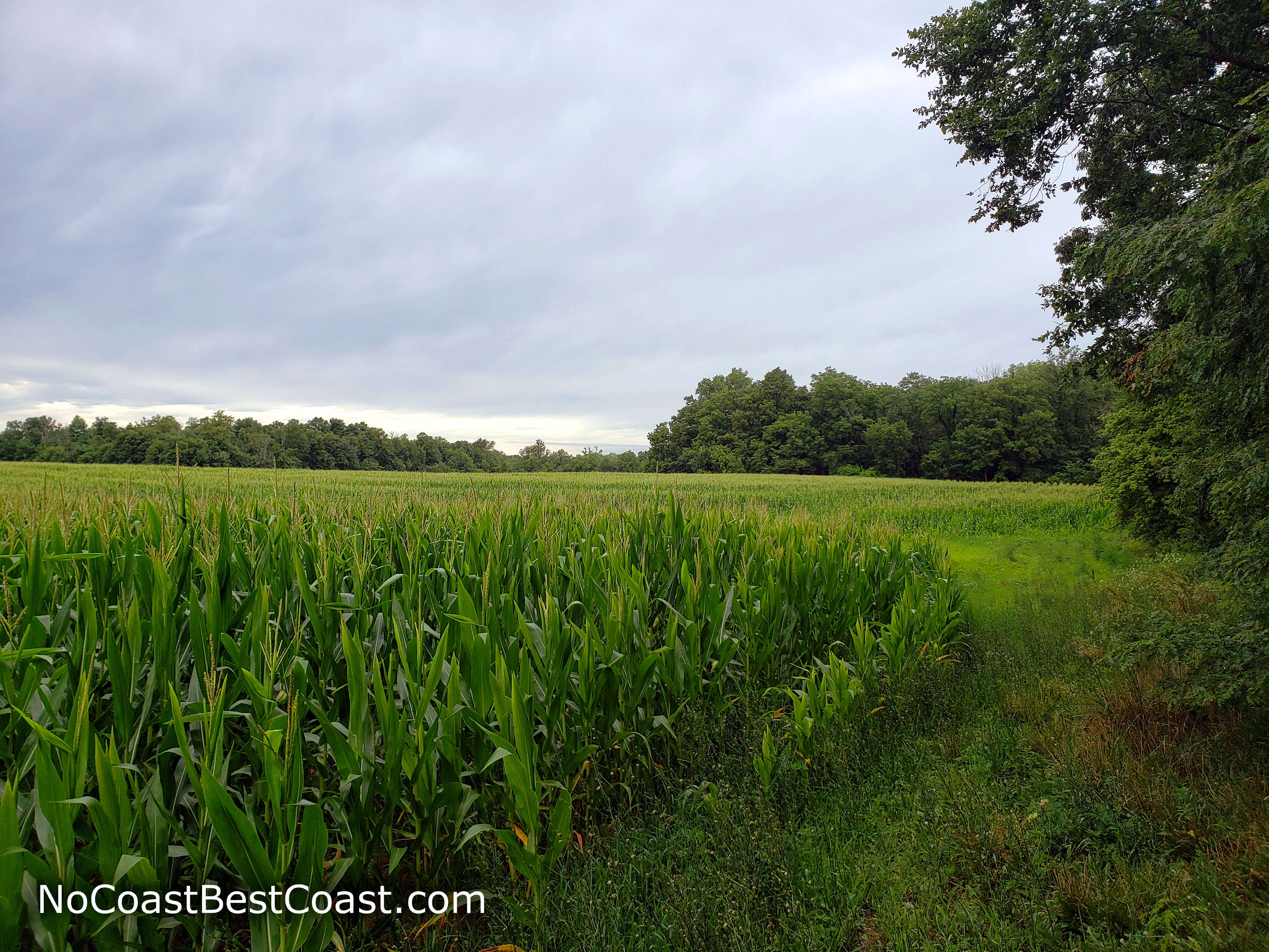
Corn growing adjacent to Hoosier Hill
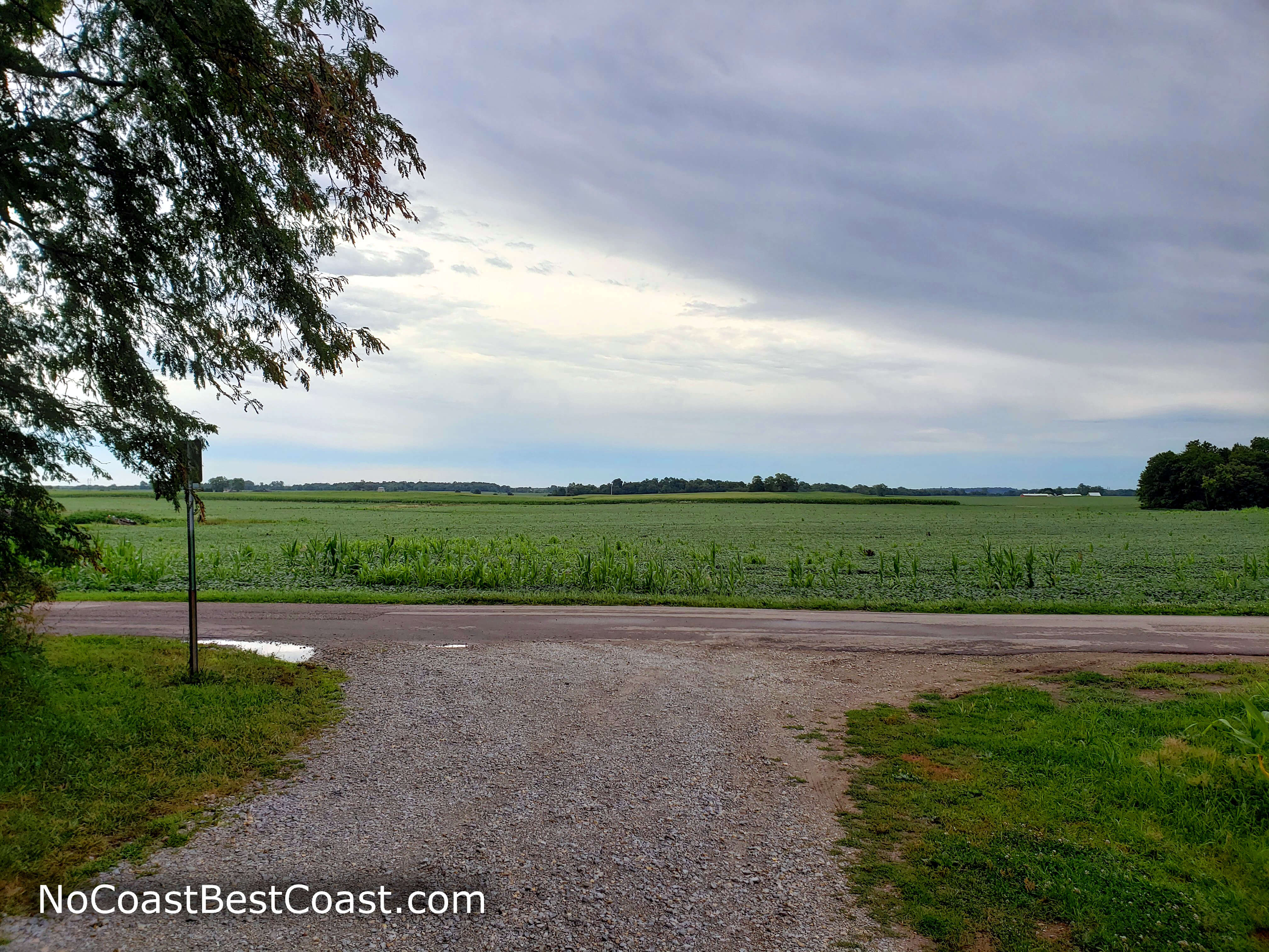
Moody Midwest skies above Indiana farm country
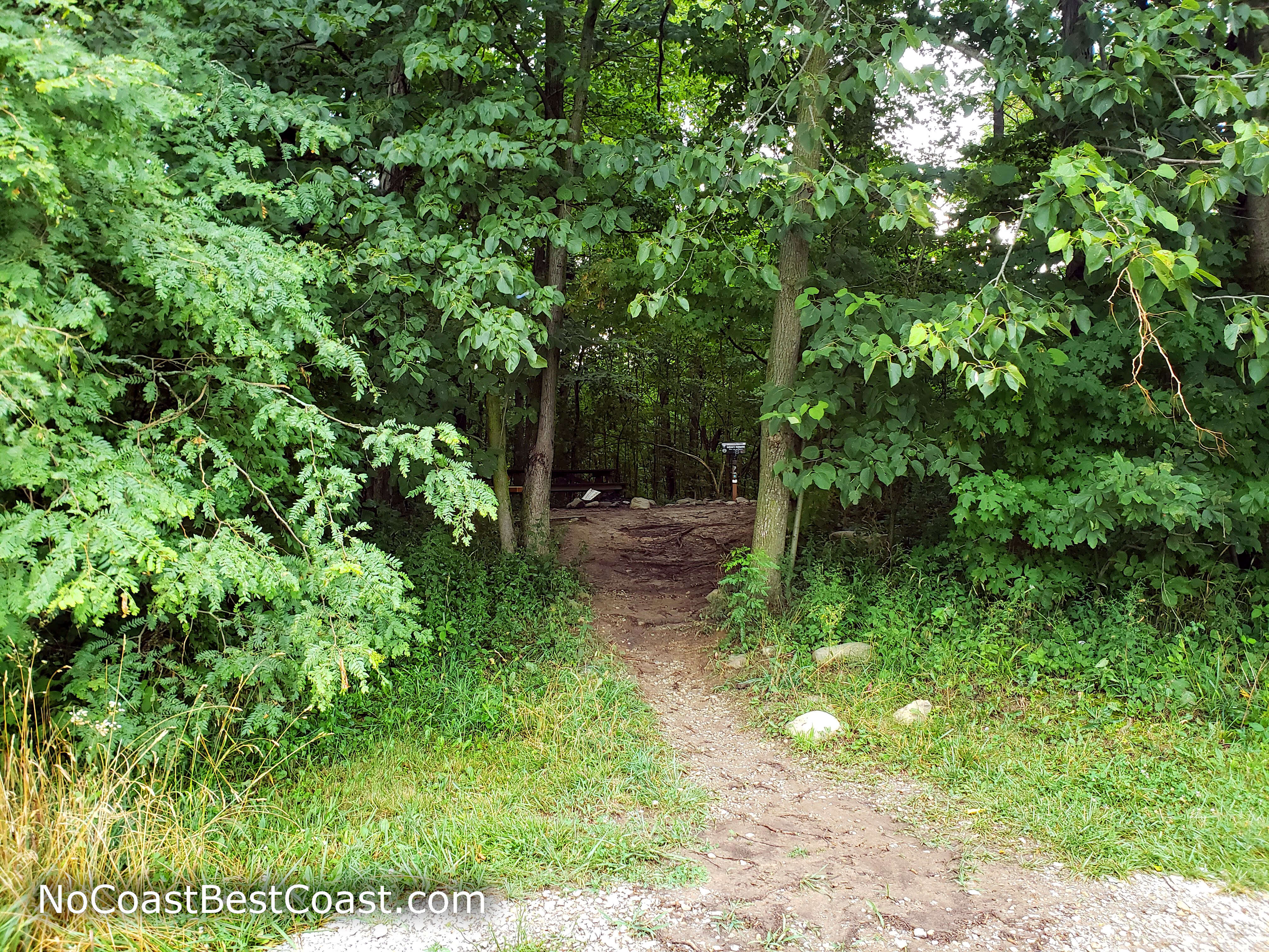
The path leading to the highest place in Indiana
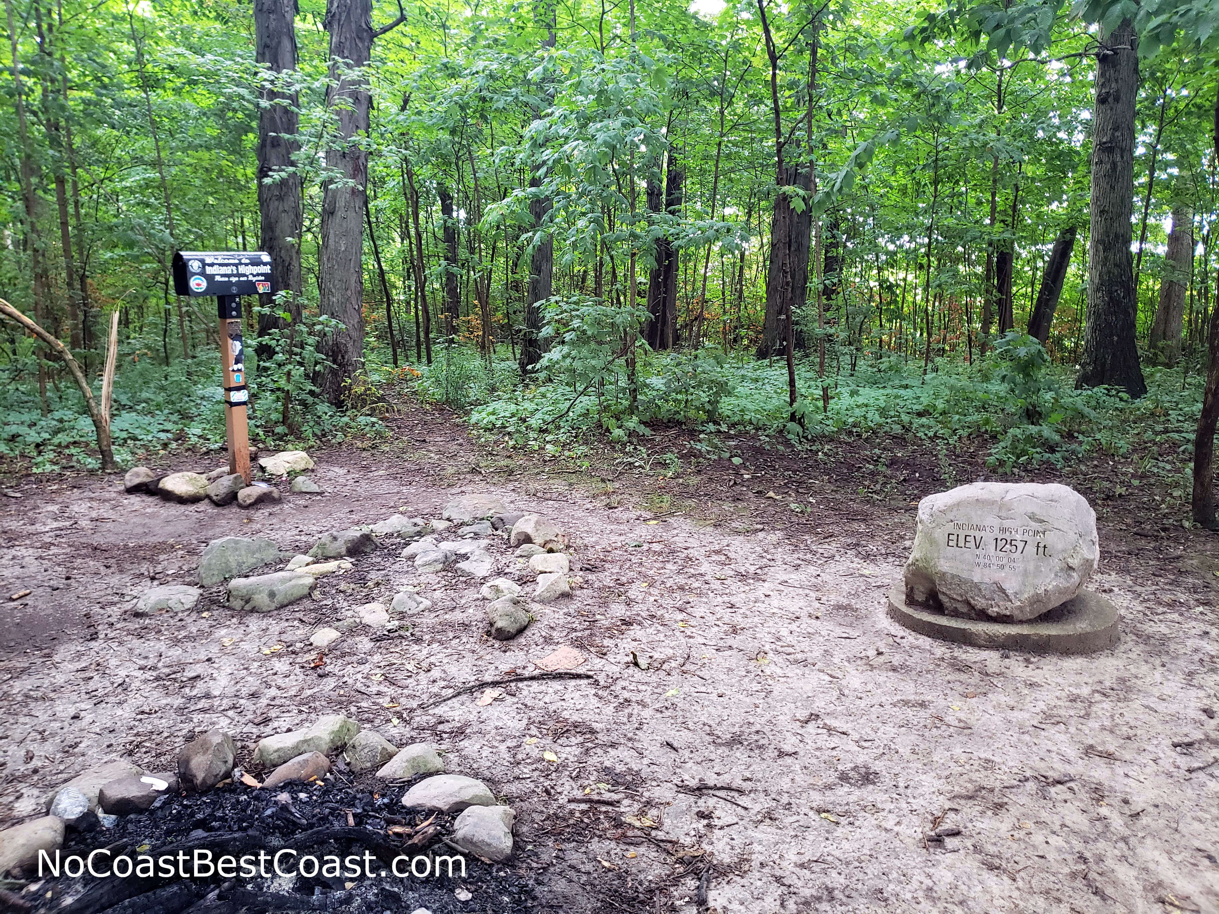
The monuments marking the summit of Hoosier Hill
Hiked on Sunday, July 19th, 2020 by Ricky Holzer
Important Information
There are no signs prohibiting dogs here, but remember you are on private property. Clean up after your dog and don't let it roam far. As one of the easiest state highpoints to summit, this is a great place to introduce anyone of any age to highpointing. You can visit any time of year.
Directions
From Indianapolis, take Interstate 70 east almost all the way to the Ohio border. Take the exit for U.S. 27, then turn left. Turn right onto Arba Pike. Continue straight for about 7 miles, then turn right onto Bethel Road. Take the first left onto Elliot Road, then watch for signs for Hoosier Hill. There will be a turnout on the left where you can park.
Google Maps Directions
Parking, Fees, and Facilities
Parking is free! There are no facilities here.