| Rating | ★★★★★(5/5) |
| Overall Difficulty | Easy |
| Navigation Difficulty | Easy |
| Distance | 3 miles roundtrip |
| Time | 1.5 hours |
| Terrain | Hilly |
| Best Seasons | All |
| Dog Friendly | Yes |
| Accessible | No |
Highlights
- Multiple scenic viewpoints of Lake Superior and the Superior National Forest
- Hiking a portion of the Superior Hiking Trail
Hike Summary
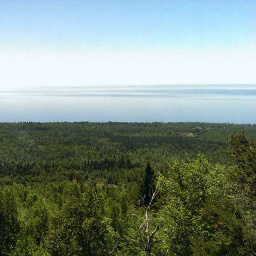
Not far from the Minnesota Highway 61, LaVeaux Mountain is one of two peaks in the Sawtooth Range on the North Shore that you can access from this trailhead (the other being Oberg Mountain). Both of these peaks are excellent short hikes that feature extended views of Lake Superior and the Superior National Forest -- a very minimal amount of effort for the tremendous visual rewards. If you've ever driven further up north, you've probably driven past these mountains and never noticed them. Now is the time to stop missing out on these treasures of the North Shore!
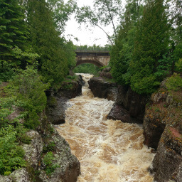
The trail starts out nice and flat, and you'll pass a campground for trekkers on the Superior Hiking Trail on your right not far from the parking lot. Soon after, you'll cross the Onion River pictured below, some nice rushing water to inundate your ears with natural sounds after listening to road noise on the long drive here.
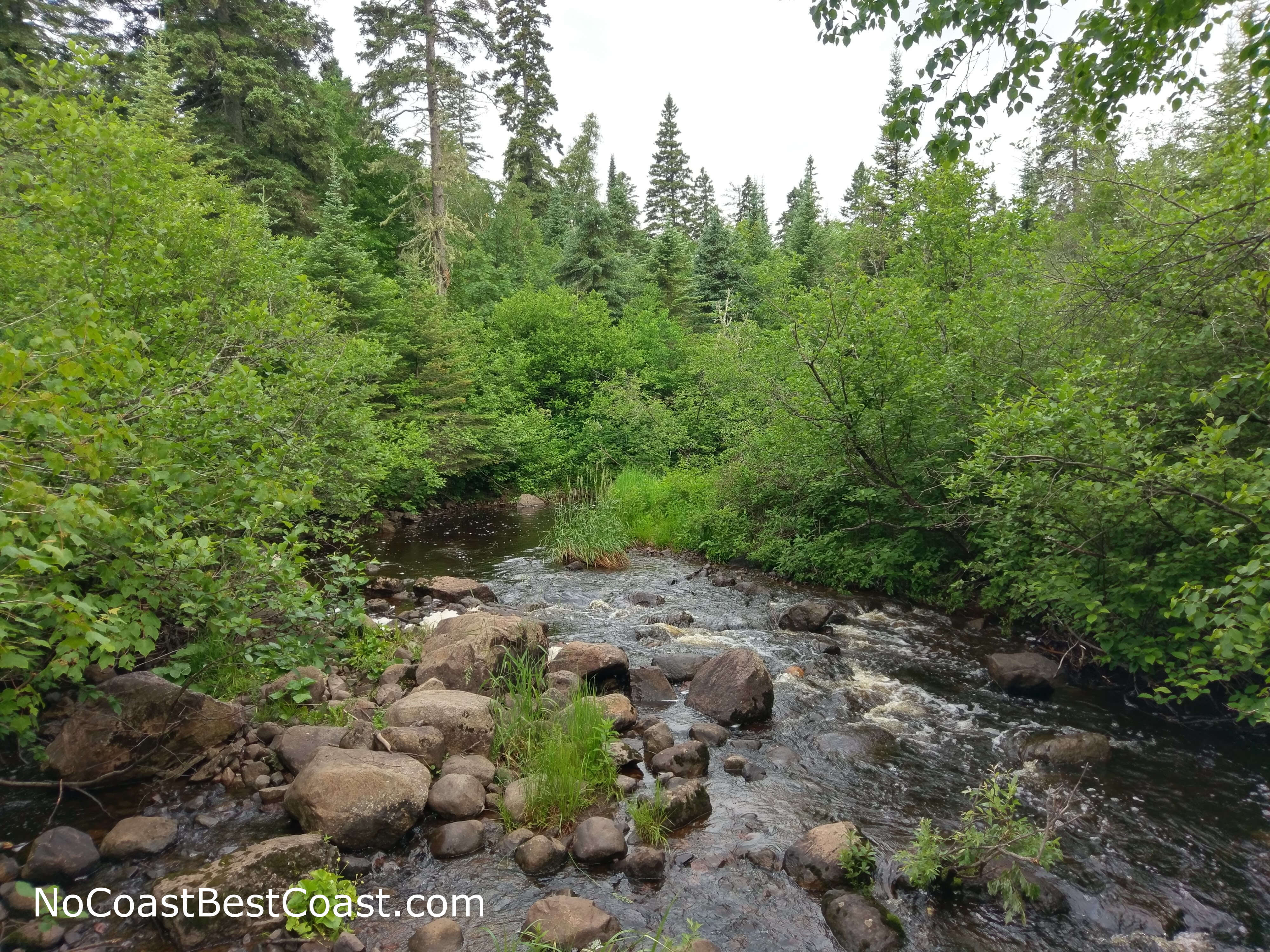
You'll cross the Onion River on a short wooden bridge
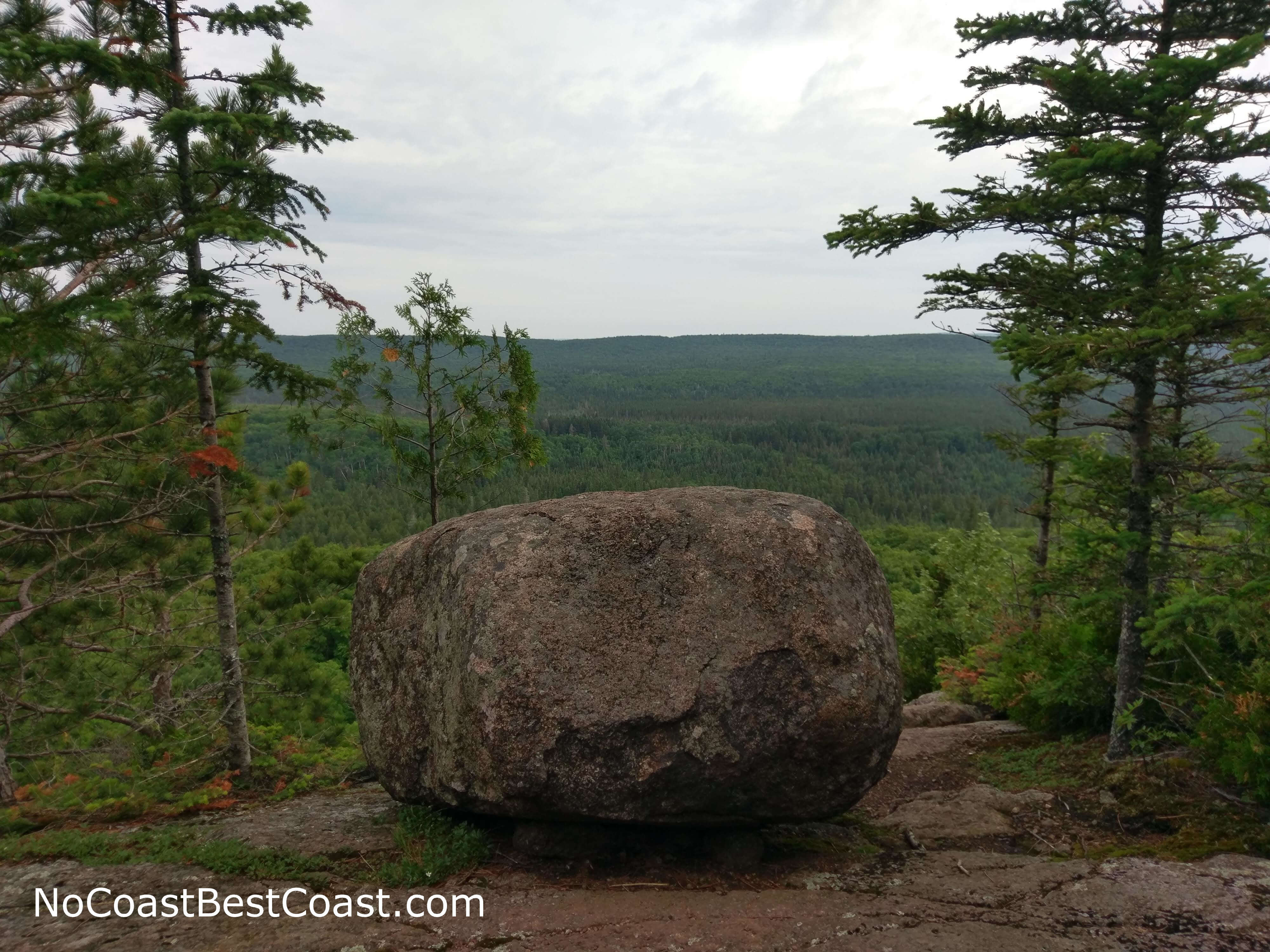
This boulder provides a great spot to sit and enjoy the view of the Superior National Forest
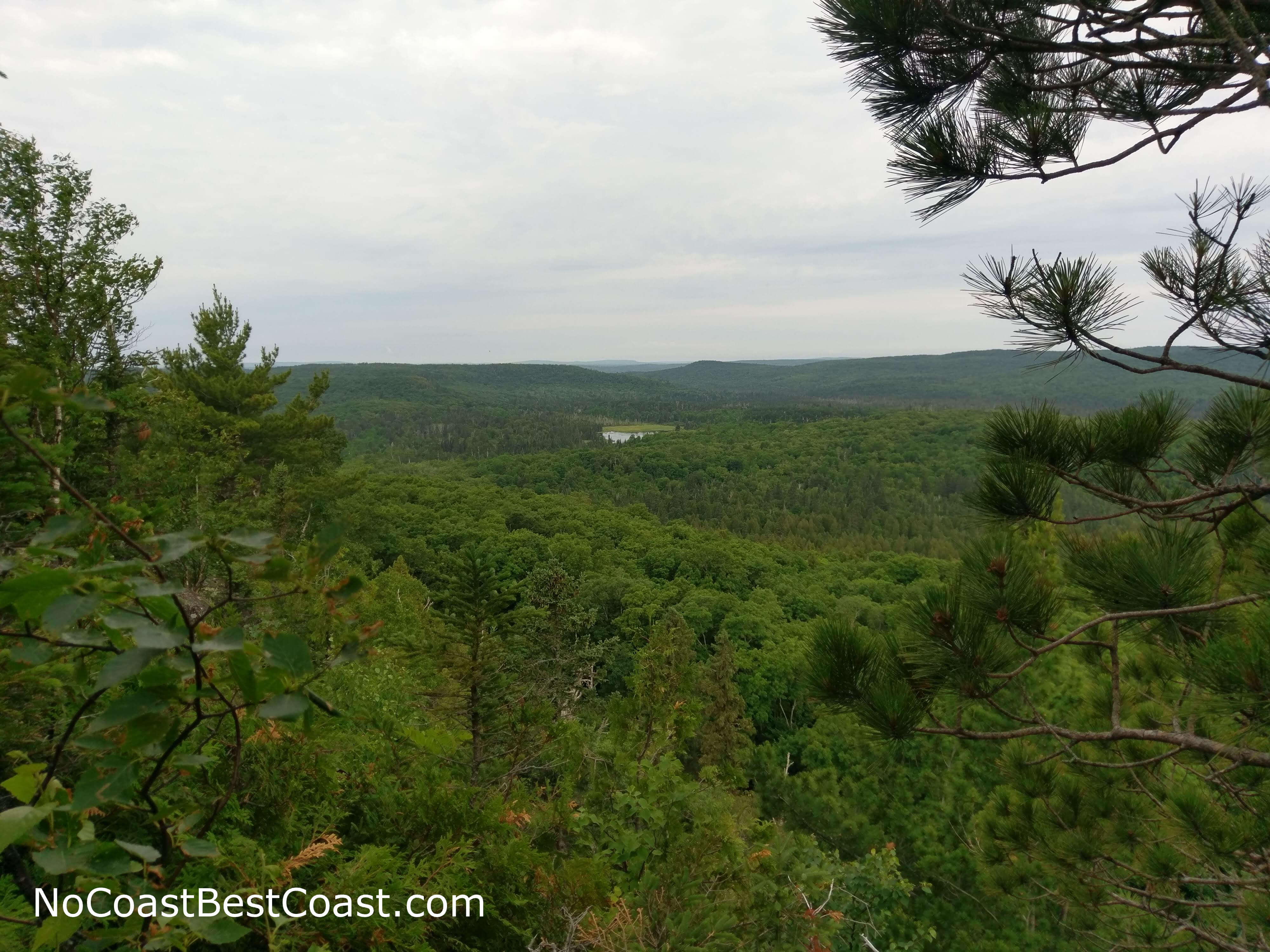
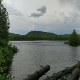
A small lake nestled between distant forest
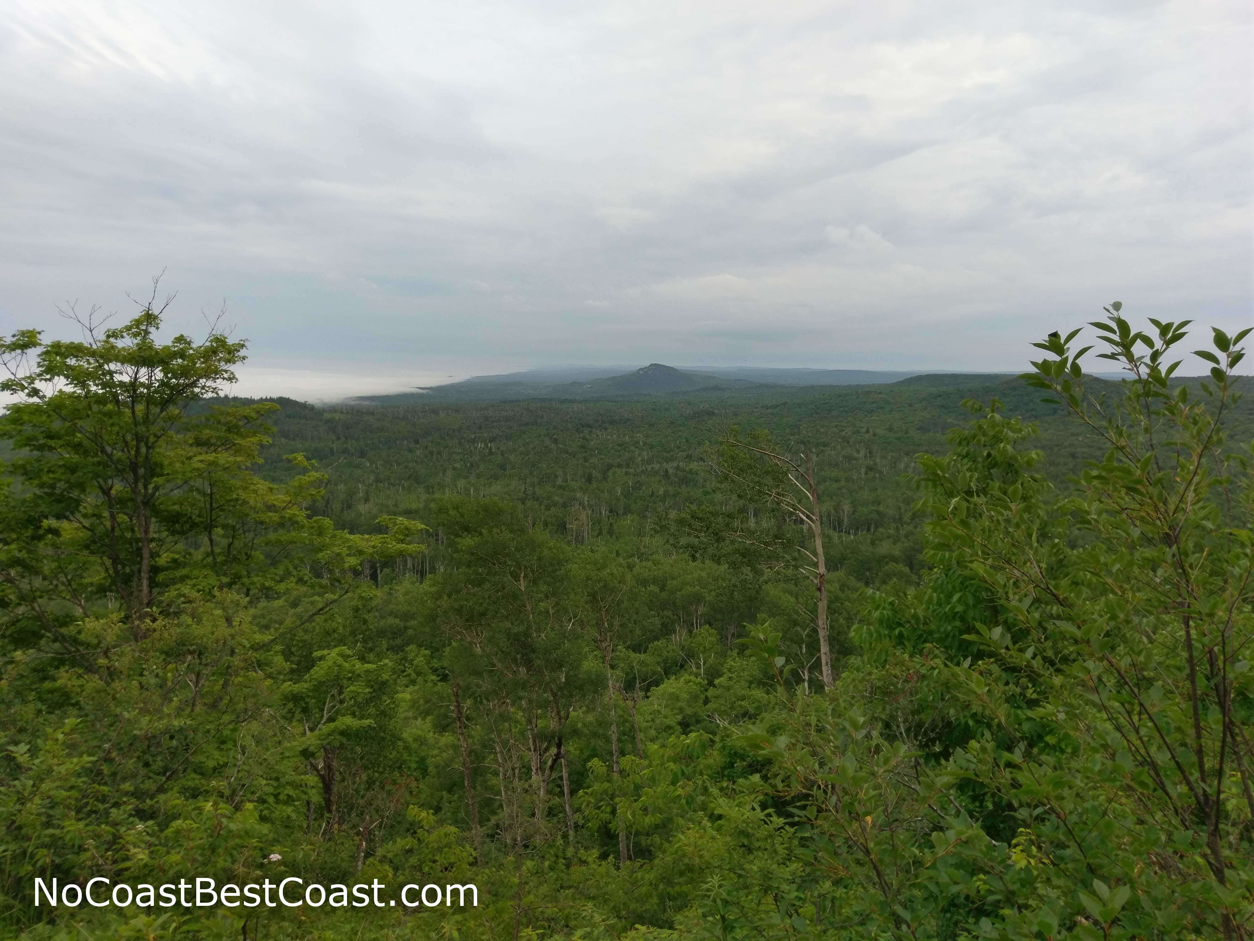
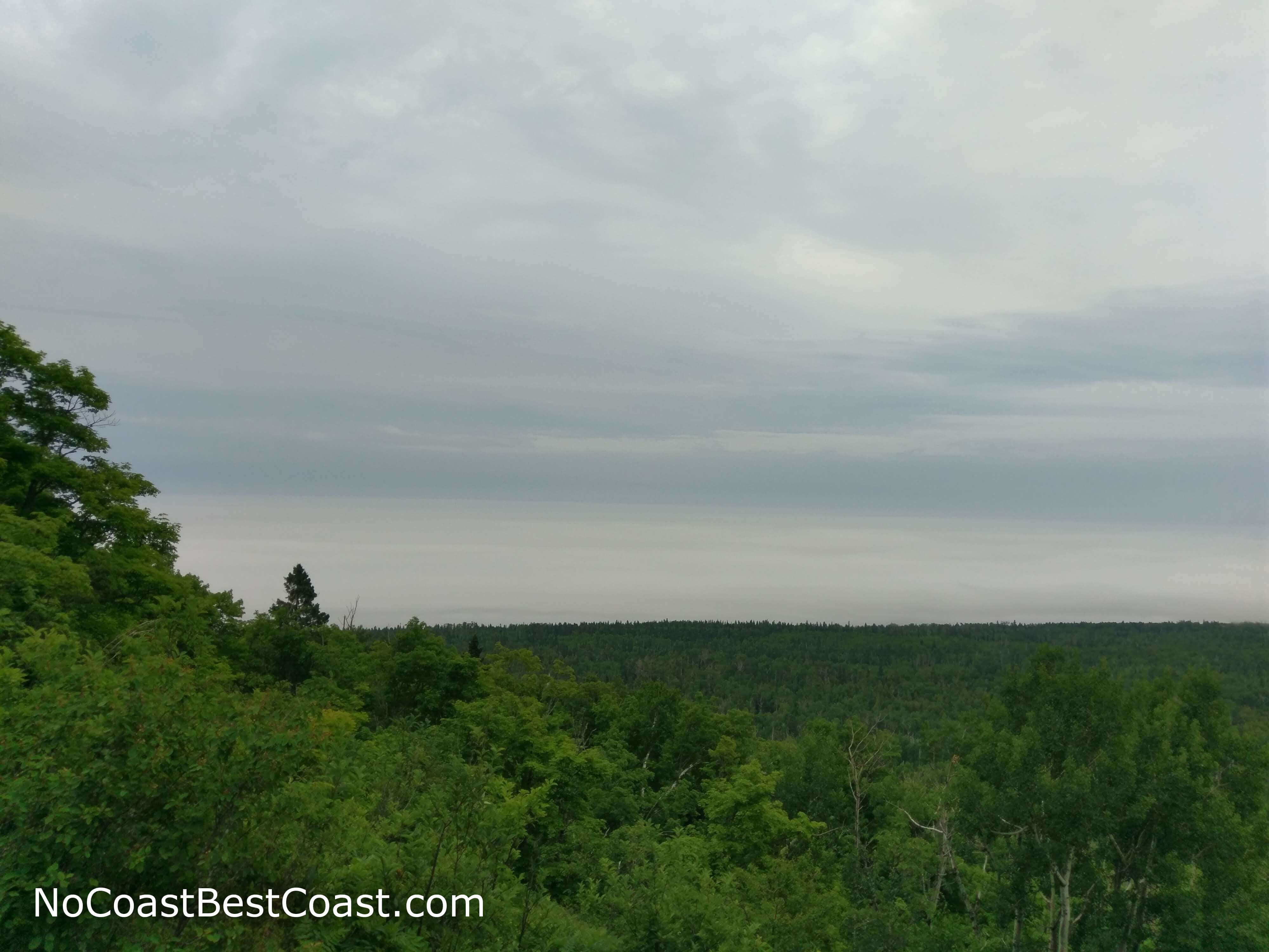
Fog from Lake Superior creeping across the forest
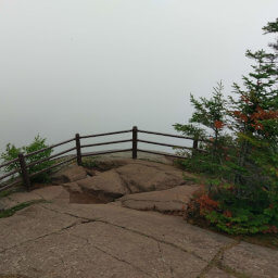
The last view of Lake Superior from the top of LaVeaux Mountain
LaVeaux Mountain is one of the best hikes on the North Shore, and it's one of the few hikes in this part of Minnesota I wouldn't mind doing a couple more times. If you enjoyed this hike, stop by Oberg Mountain for another great hike packed with views, either immediately after finishing this hike if you still have energy or on your return trip home after going further north. Let me know what you think in the comments section below, and be sure to use #nocoastbestcoast on Twitter and Instagram!
Hiked on Sunday, July 1st, 2018 by Ricky Holzer
Important Information
Dogs are allowed on leash. This trail is short enough to be family friendly, but be sure to watch children closely at the top near the edges. The hike to Oberg Mountain, which also starts at this parking lot, is a better choice for families since it is shorter and most of not all of the ledges have wooden railings, whereas LaVeaux Mountain does not have any railings. You can hike this trail in all four seasons; its close proximity to the highway and the fact that it is part of the Superior Hiking Trail means it should be readily accessible even when it snows. Despite the rain on the Sunday morning I did this hike, there were still a few people out, so I imagine there will be many more if you go on a nice day.
Directions
From Duluth, take Minnesota Highway 61 north. After passing Temperance River State Park and Tofte, turn left on Onion River Road (County Highway 336). Turn left into the trailhead parking area ahead.
Google Maps Directions
Parking, Fees, and Facilities
Parking is free! There are pit toilets and a map kiosk in the parking lot.
Nearby Hikes
Superior National Forest, Minnesota
★★★★★(5/5)
Superior National Forest, Minnesota
★★★★☆(4/5)
Temperance River State Park, Minnesota
★★★★★(5/5)
Superior National Forest, Minnesota
★★★★★(5/5)