| Rating | ★★★★☆(4/5) |
| Overall Difficulty | Moderate |
| Navigation Difficulty | Medium |
| Distance | 9 miles roundtrip |
| Time | 4 hours |
| Terrain | Mostly flat |
| Best Seasons | All |
| Dog Friendly | Yes |
| Accessible | No |
Highlights
- Wilderness within a major metropolitan area
- Great wildlife viewing opportunities
Hike Summary
The Minnesota Valley National Wildlife Refuge is what I would call "urban wilderness", an oasis in the middle of a major metropolitan area and flanked by freeway bridges where the natural sights look like somewhere deep in the countryside. When you first arrive and park under one of the aforementioned freeway bridges, hearing the roar of cars and the screaming planes from the nearby airport, you'll probably think, "How is this noisy hike going to help me get my peaceful nature fix?" To start, look at the two beautiful pictures below, and you'll understand.
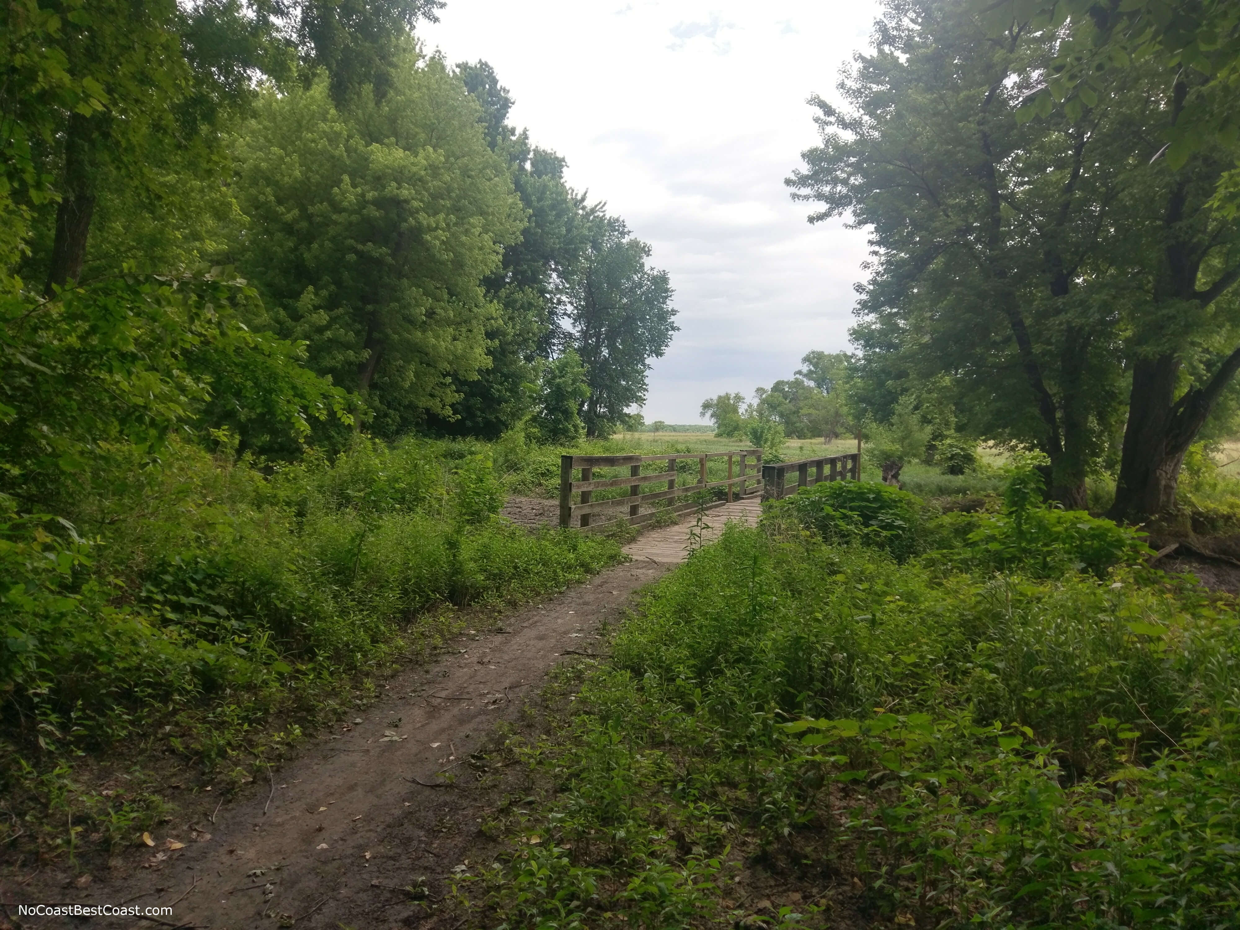
A picturesque bridge not too far from the trailhead
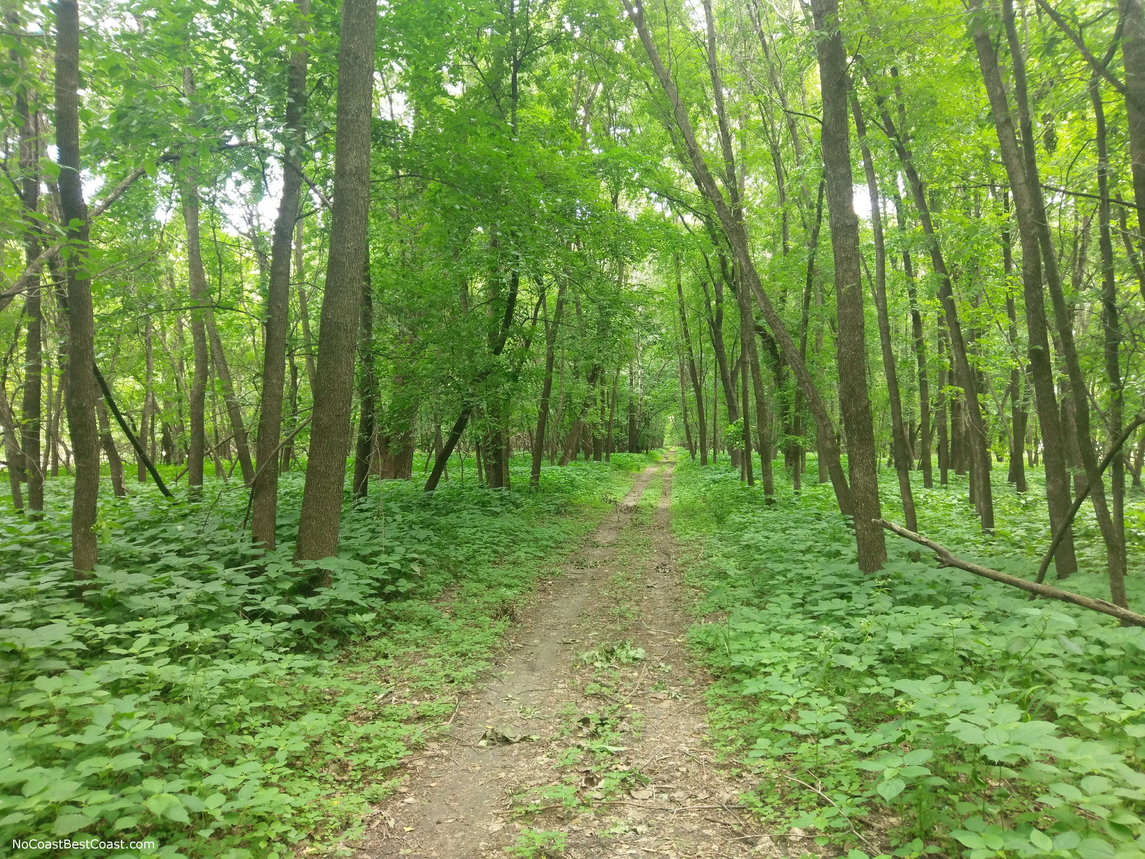
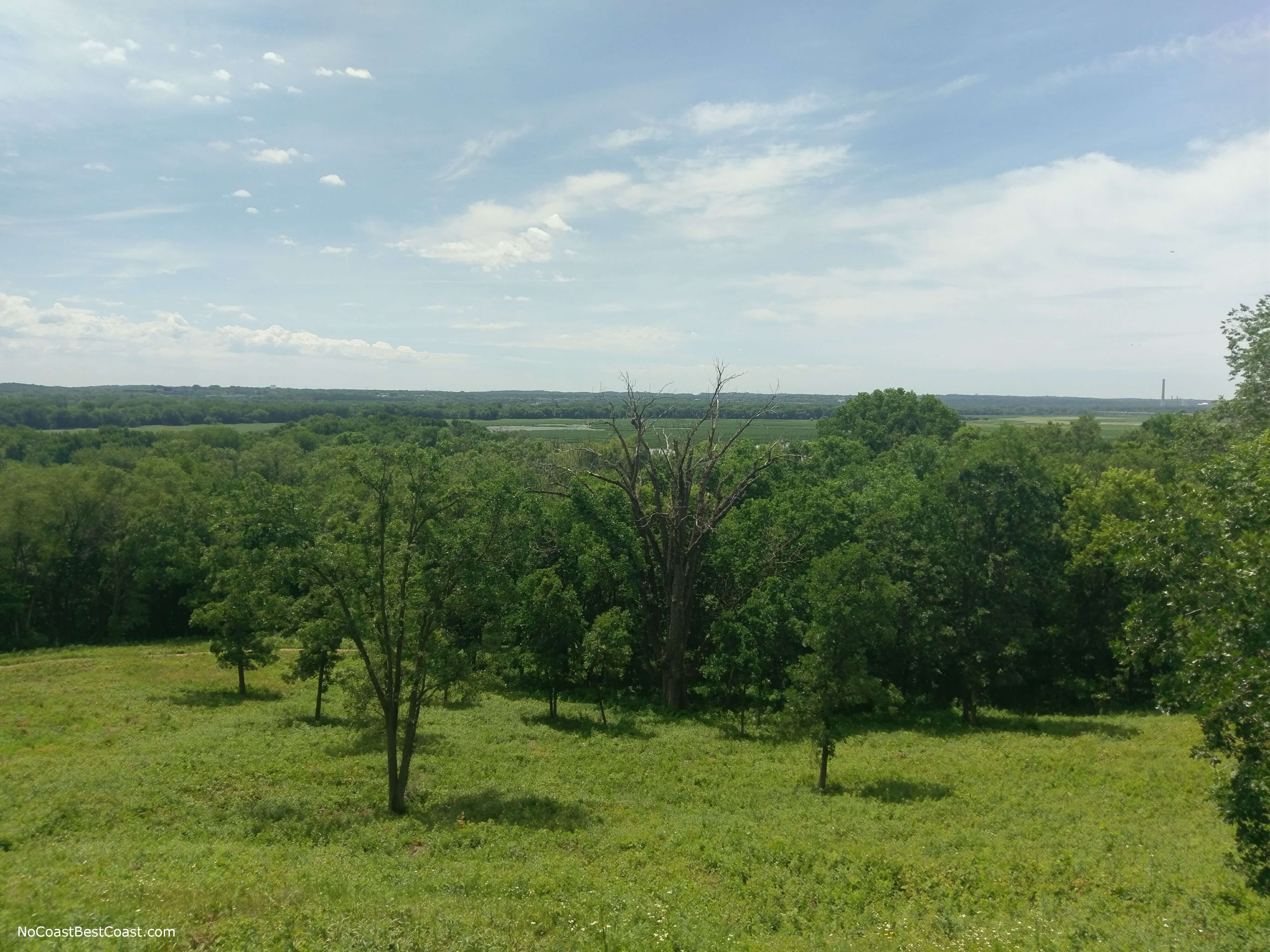
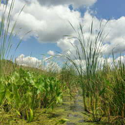
A glimpse of the dense, green forest located within the center of a major metropolitan area
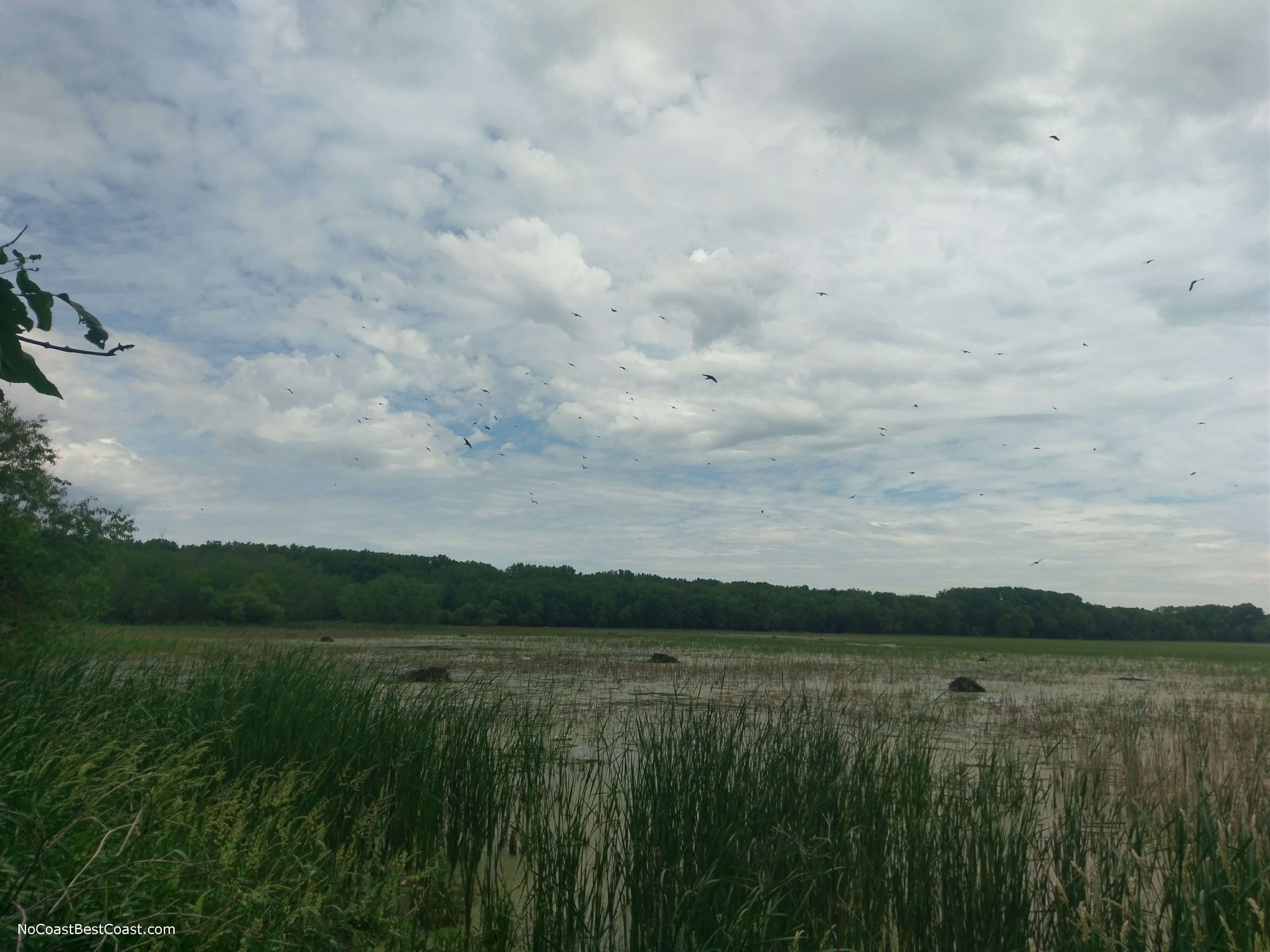
Countless birds circling above the lake
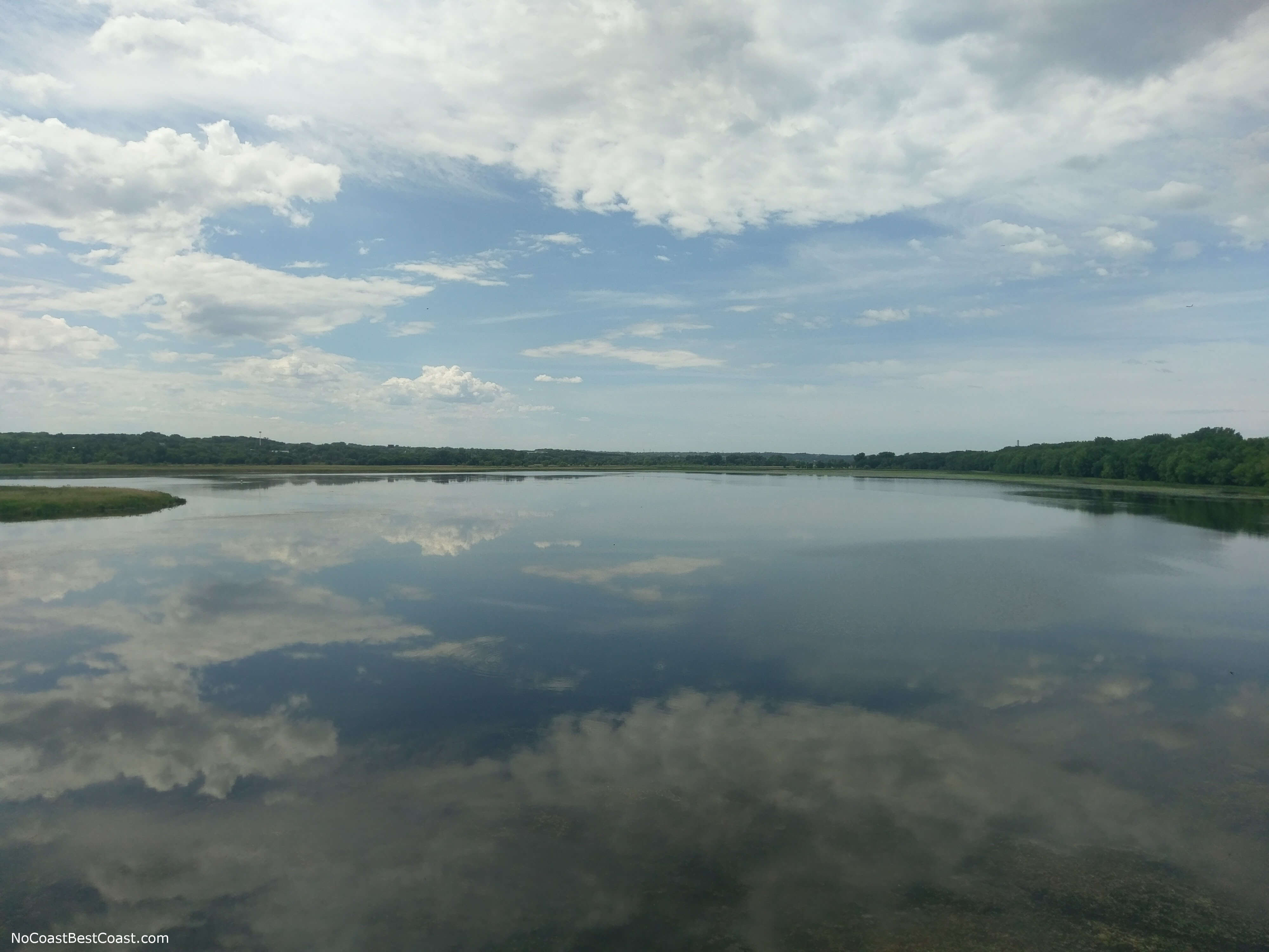
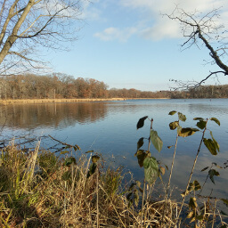
The reflection of clouds on a calm lake
Continue following the paved path until you reach the driveway for the official visitor center for the wildlife refuge. Stop inside so you can cool off, have a drink and a snack, and learn a little about the wildlife you can find here. Once back outside, be sure to stop by the overlooks for impressive views across the entire valley like in the picture below. To continue hiking, look for a walkway leading to a set of stairs down into the forest. Turn right at the trail intersection at the bottom of the stairs. When you reach the Long Meadow Lake Trail, turn left (there should be a sign, and you want to go the direction away from American Boulevard).
The view from the overlook near the visitor center
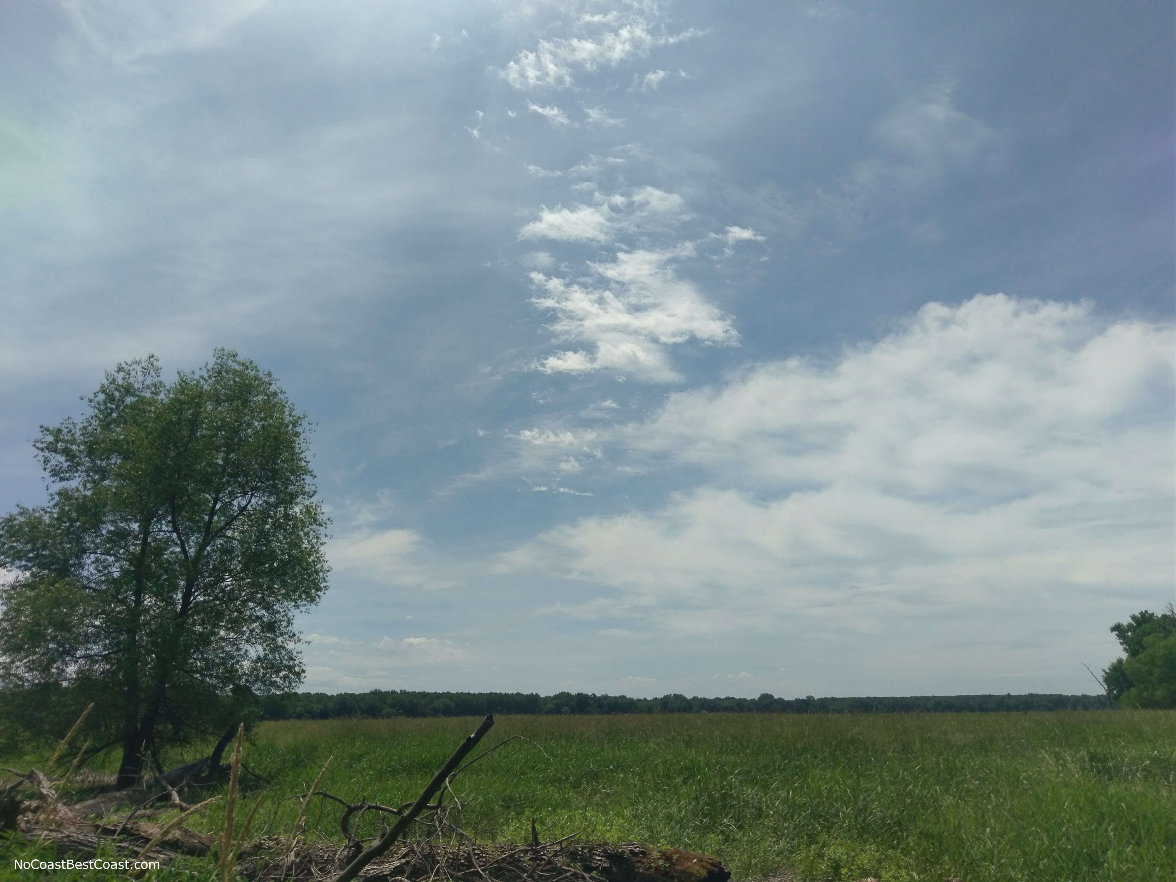
Looking across the wetlands of Long Meadow Lake
Hiked on Friday, June 16th, 2017 by Ricky Holzer
Important Information
Dogs are allowed on leash only. This particular route is much too long for a family friendly hike, but those with kids can instead drive to the visitor center where there is an excellent view and do a short hike on one of the best maintained portions of the Long Meadow Lake trail. This trail is available for hiking in all four seasons, though in the winter I would recommend starting at the visitor center since the road to the trailhead described here won't be as well plowed as Bloomington's city streets. The trails here are not groomed in winter and navigation may be difficult in parts, but it's definitely possible to do at least a portion of this hike then! Flooding is common in the spring, so check for trail closures before leaving. Bug spray is an absolute must during mosquito season unless you want to be eaten alive. Most people who visit the Minnesota Valley National Wildlife Refuge stick to the area near the visitor center; the further you hike from the visitor center, the fewer people you'll encounter -- solitude is possible, at least for short periods of time.
Directions
From Downtown Minneapolis, take Interstate 35W south to eastbound Minnesota Highway 62. Exit at Minnesota Highway 77 and head south. After crossing the bridge over the Minnesota River, take the exit for eastbound Minnesota Highway 13. Turn left at the first light, Silver Bell Rd. At the T intersection at the end of the road, turn right onto Nichols Rd. After passing under the bridge, look for the turnoff for the parking area on your right.
Google Maps Directions
Parking, Fees, and Facilities
Possibly free. It is unclear whether the lot is part of Fort Snelling State Park or the Minnesota Valley National Wildlife Refuge. Upon entering the lot, signs say you are entering Fort Snelling State Park (which implies you need to pay the $7 vehicle entry fee at the park office or have an annual permit on your windshield), but there were not any signs suggesting a fee is required to park in the lot or that there is any enforcement. The official Fort Snelling State Park map does not label this parking area either. I parked in this lot on a Friday afternoon without a permit and was fine, but the lot was empty except for a volunteer trail cleanup crew and their van. If you are afraid of getting a ticket, you can park along the road just outside of the parking lot worry free. You can also park for free at the visitor center in Bloomington and start the hike there.
Nearby Hikes
Lebanon Hills Regional Park, Minnesota
★★★★☆(4/5)
Fort Snelling State Park, Minnesota
★★★★☆(4/5)
Crosby Farm Regional Park, Minnesota
★★★★☆(4/5)
Hidden Falls Regional Park, Minnesota
★☆☆☆☆(1/5)