| Rating | ★★★★☆(4/5) |
| Overall Difficulty | Moderate |
| Navigation Difficulty | Easy |
| Distance | 5 miles roundtrip |
| Time | 2.5 hours |
| Terrain | A few hills |
| Best Seasons | All |
| Dog Friendly | Yes |
| Accessible | No |
Highlights
- Multiple scenic lakes
- Beautiful forest not far from the city
Hike Summary
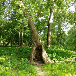
Lebanon Hills Regional Park is one of the premier hiking destinations in the Twin Cities, and the Voyageur Trek is the hallmark hike of the park. I previously visited this park in March but was unable to hike because all of the trails were covered in thick, slippery ice. I'm glad I finally had a chance to return because this is one of the better hikes in the Twin Cities, and it is clear that Dakota County has recently invested in maintaining this park with several new boardwalks and bridges. This is an excellent place to spend an afternoon in any season.
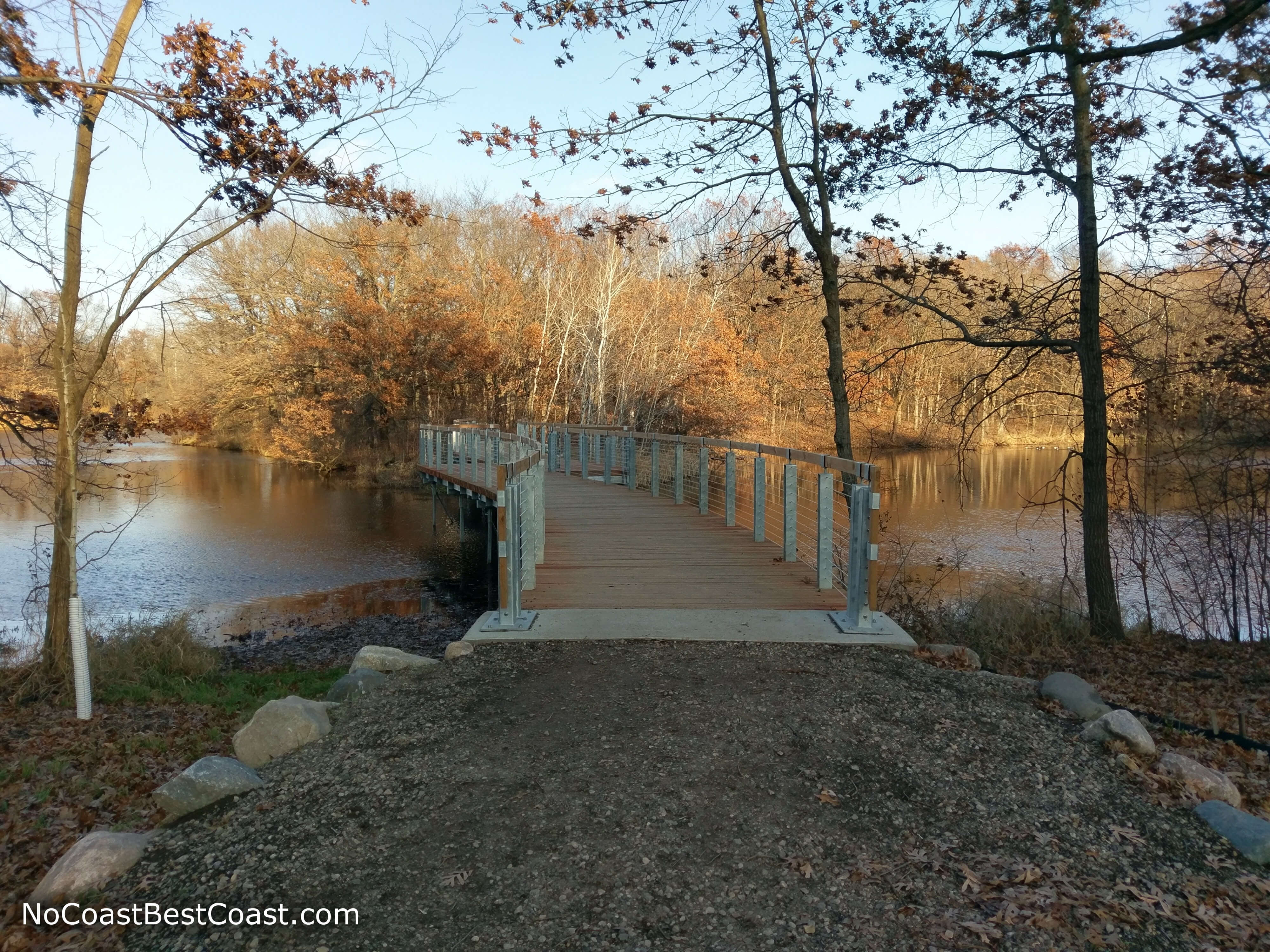
From the parking lot, follow the paved trail down past the playground to Jensen Lake. Navigation here is easy thanks to the numbered poles placed at each intersection with maps interspersed throughout the park. Even better, the Voyageur Trek has green placards on those poles pointing you in the right direction. Once you reach intersection 4, turn right as indicated by the green placard. This section of trail hugs the lake, giving you views like pictured below.
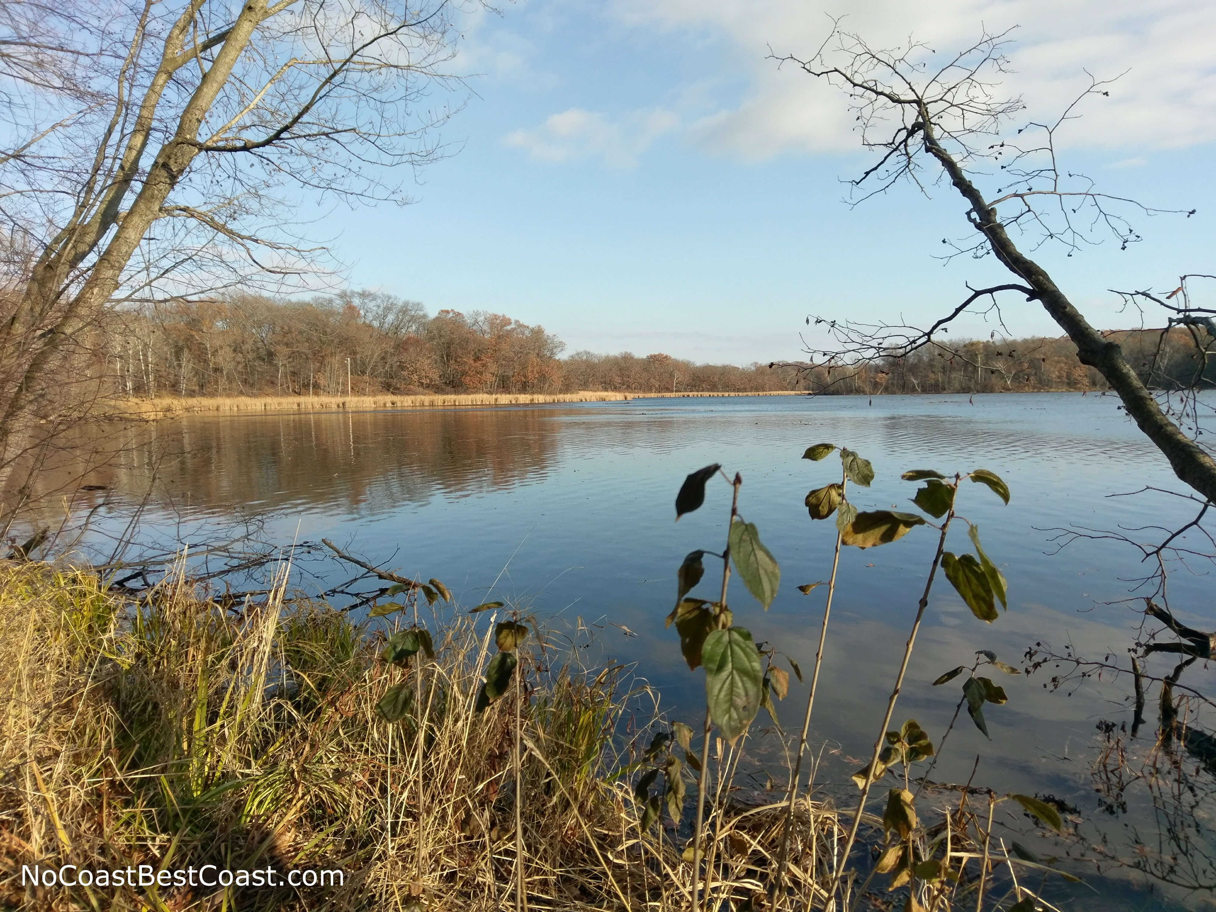
The view of Jensen Lake from the boardwalk
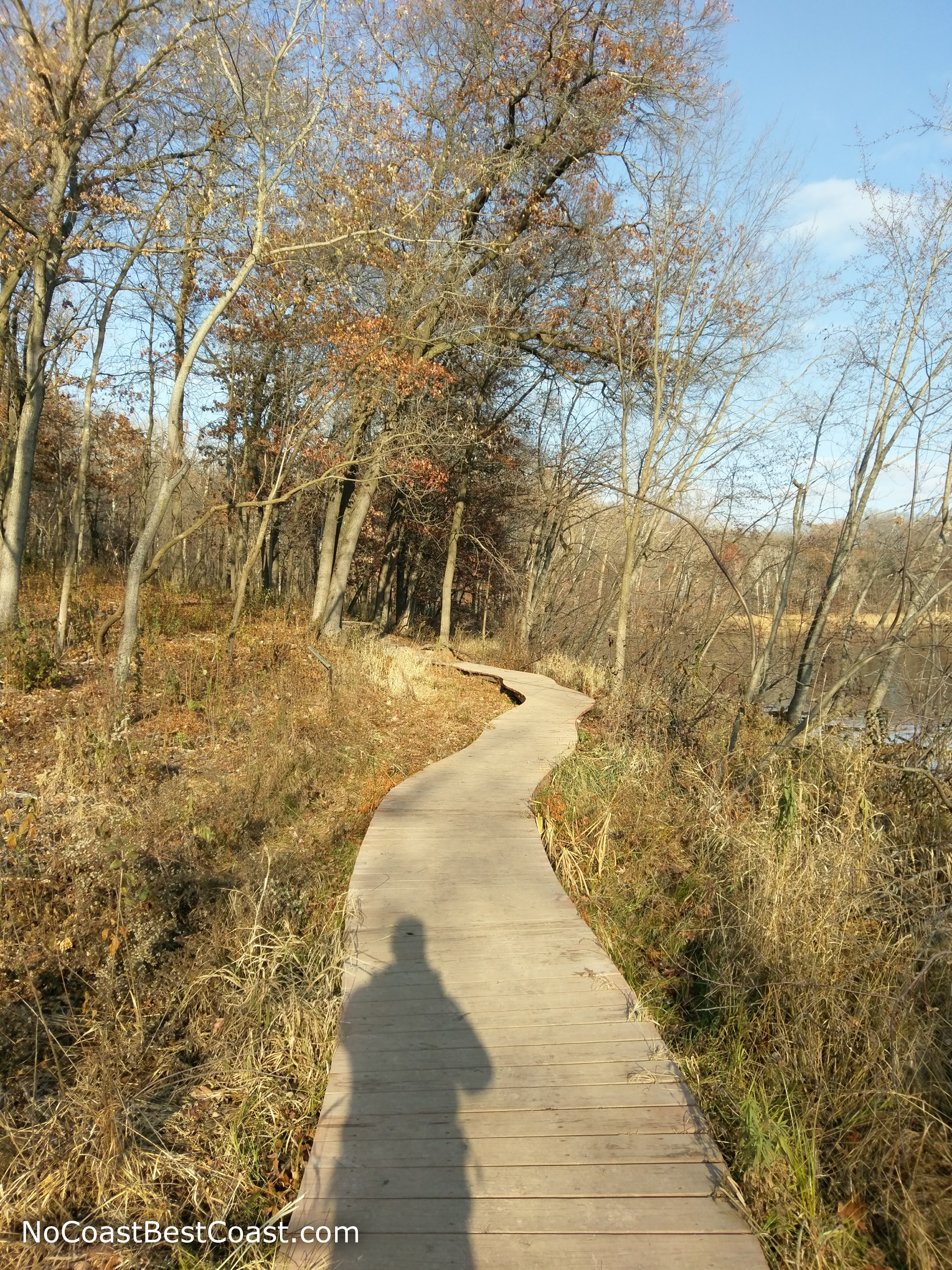
This brand new, curvy boardwalk adds some fun to your hike
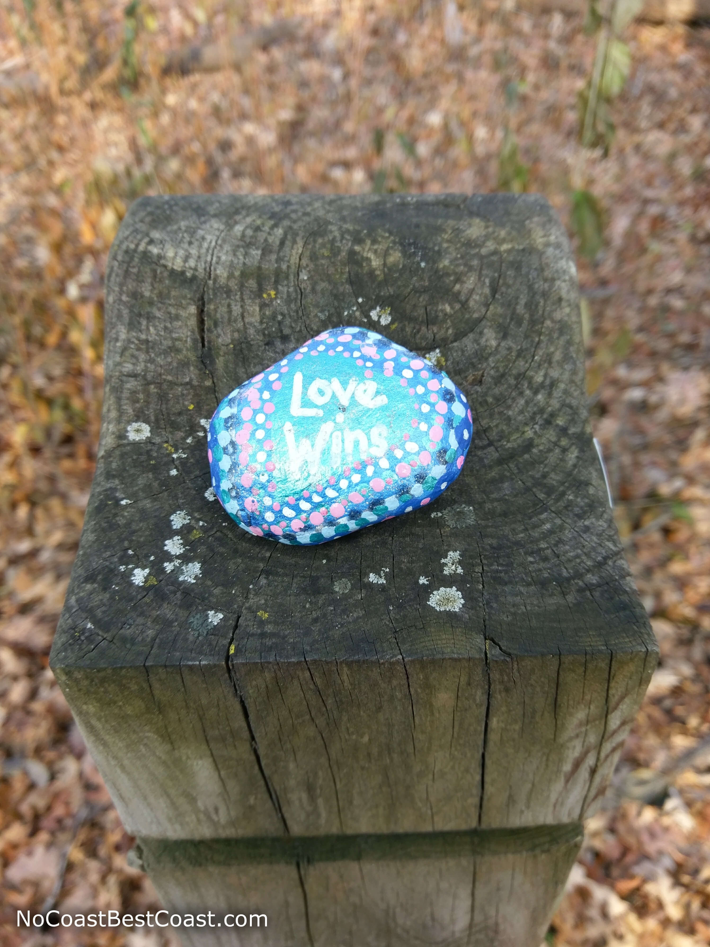
A brightly painted rock left by another hiker
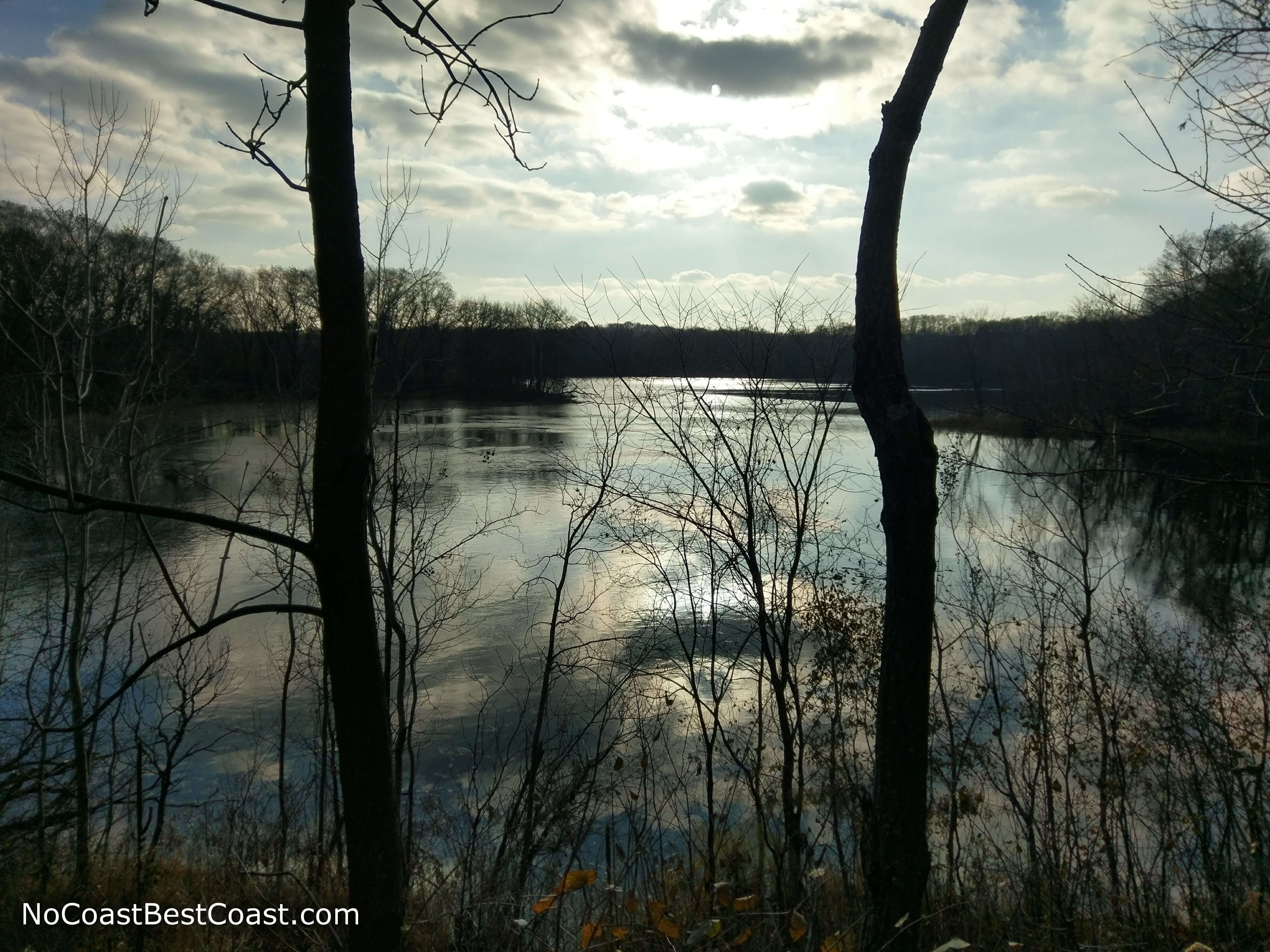
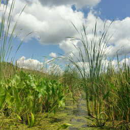
At some point ahead, there will be an unmarked split in the trail. Follow the narrower path (the other path looks like a road); if you reach another unmarked intersection and something feels off, turn around (I did this myself). You'll eventually run into another intersection post if you're on the right path. Shortly after intersection 24, you'll pass O'Brien Lake, pictured below.
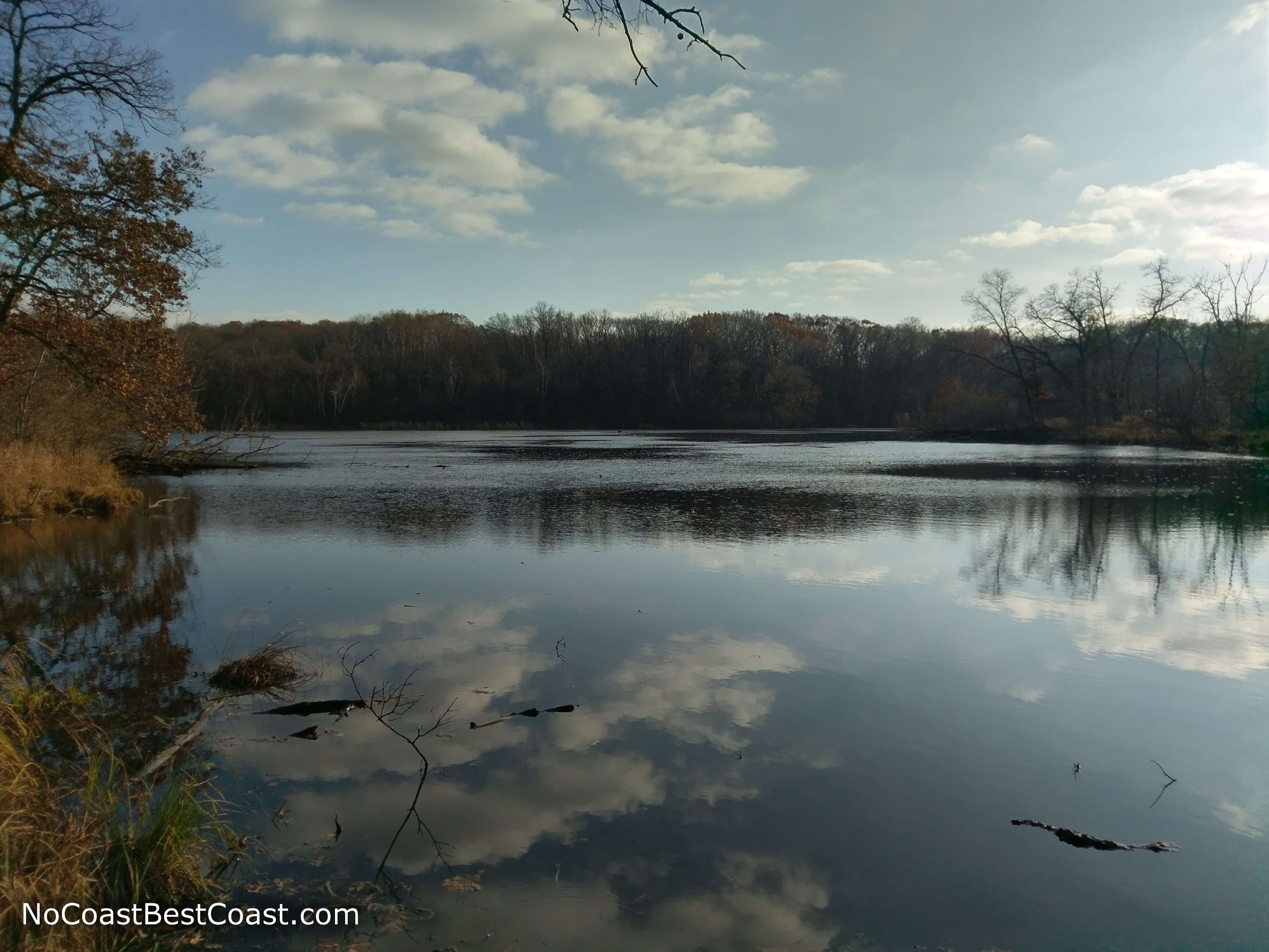
Looking across O'Brien Lake
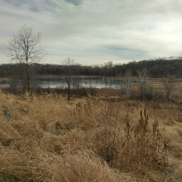
Cattail Lake through the trees at the top of the hill
The bridge over Bridge Pond
Hiked on Saturday, November 18th, 2017 by Ricky Holzer
Important Information
Dogs are allowed on leash. This hike is too long to be family friendly, but most of the trails here connect to form shorter loops. The Visitor Center Trailhead has the best family friendly options, though there is a playground at this trailhead. You can hike this entire route all year round. When I visited, it was the first sunny day in a week, and it seemed like everyone had the same idea as me. Expect to see plenty of people on the weekends, and possibly even on weeknights when it's still light outside.
Directions
From St. Paul, take Interstate 35E south and take the exit for Pilot Knob Road. Merge onto the road and continue heading south. Look for the sign for Lebanon Hills Regional Park, then turn left onto Carriage Hills Drive. Turn right into the parking area.
From Minneapolis, take Interstate 35W south then exit for Minnesota Highway 62 east. Take the exit for Minnesota Highway 77 south, cross the bridge, then take the exit for Cliff Road. Turn left, then turn right on Pilot Knob Road. Look for the sign for Lebanon Hills Regional Park, then turn left onto Carriage Hills Drive. Turn right into the parking area.
Google Maps Directions
Parking, Fees, and Facilities
Parking is free! There are flush toilets as well as a picnic area and playground near the lot.
Nearby Hikes
Minnesota Valley National Wildlife Refuge, Minnesota
★★★★☆(4/5)
Whitetail Woods Regional Park, Minnesota
★★★★☆(4/5)
Fort Snelling State Park, Minnesota
★★★★☆(4/5)
Crosby Farm Regional Park, Minnesota
★★★★☆(4/5)