| Rating | ★★★★☆(4/5) |
| Overall Difficulty | Easy |
| Navigation Difficulty | Easy |
| Distance | 1.5 miles roundtrip |
| Time | 30 minutes |
| Terrain | A few hills |
| Best Seasons | All |
| Dog Friendly | Yes |
| Accessible | No |
Highlights
- Tremendous views from the observation tower at the summit
- Climb to Wisconsin's highest point
- Pretty lakes good for fishing and swimming
Hike Summary
Timm's Hill is the highest point in the state of Wisconsin, the 39th highest state highpoint in the U.S. at 1951 feet above sea level. While it pales in comparison to the mountainous state highpoints outside of the Midwest, it's one of the few highpoints in the Midwest with topographic prominence and scenic views -- compare the pictures on this page with the nearly flat highpoints in Iowa or Nebraska. Whether you're collecting state highpoints like me or just want to climb the highest point in your home state, Timm's Hill is a worthwhile destination with great scenic beauty.
From the parking lot, follow the trail to the left side of the map kiosk uphill. Although the park map linked below only shows one trail to the summit, there are actually several trails that connect the trail around the base of Timm's Hill to the summit. Any of these work, just keep climbing uphill until you eventually reach the observation tower and the highpoint sign pictured below.
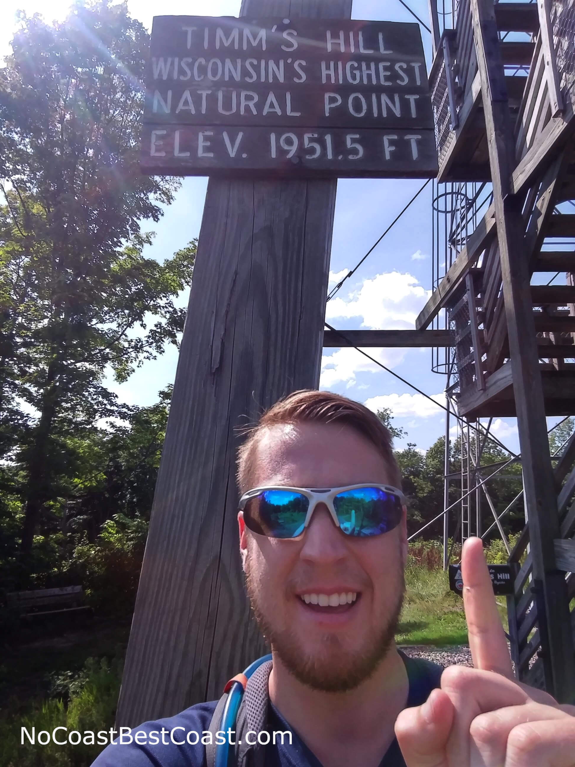
The sign on the observation tower marking the highest elevation in Wisconsin
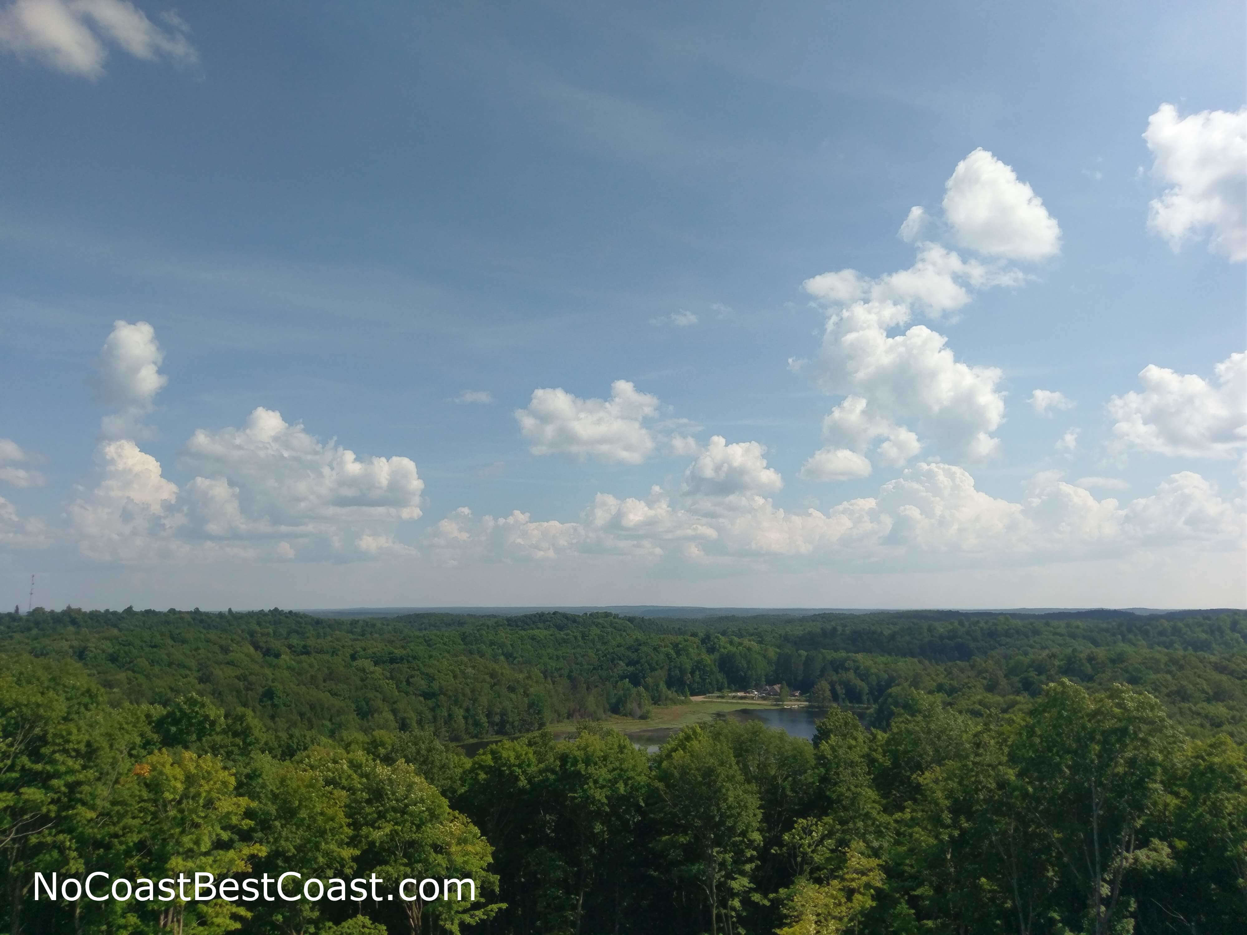
The view from the observation tower looking southeast towards Bass Lake
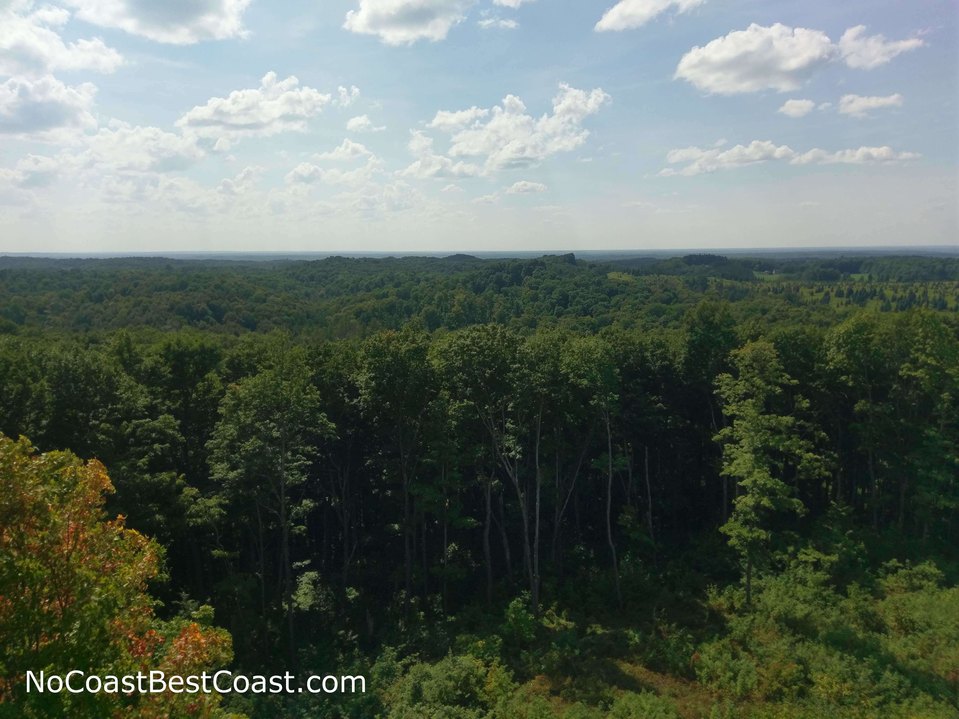
The view from the observation tower looking west
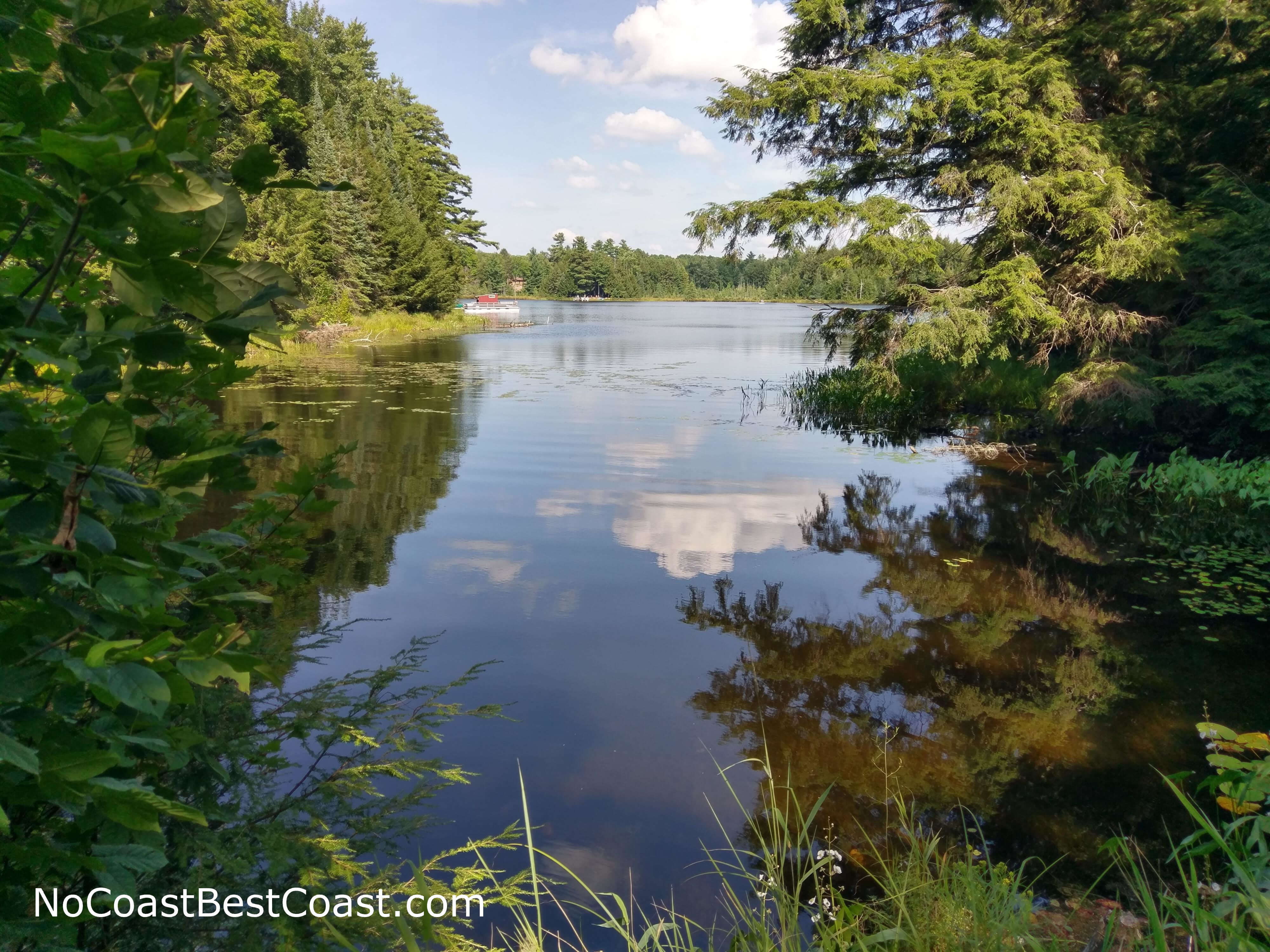
Beautiful Timm's Lake
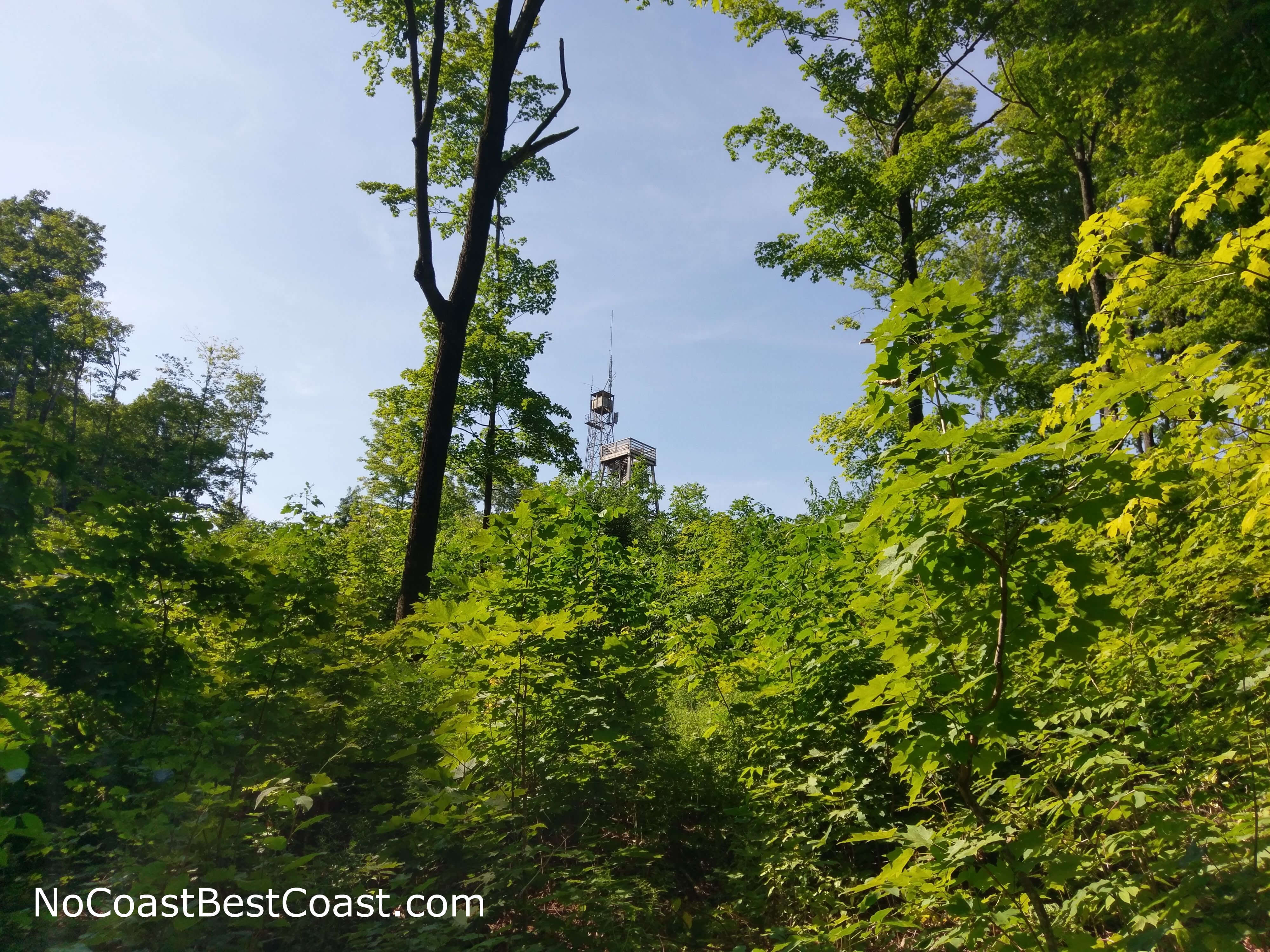
The observation tower as seen from the base of Timm's Hill
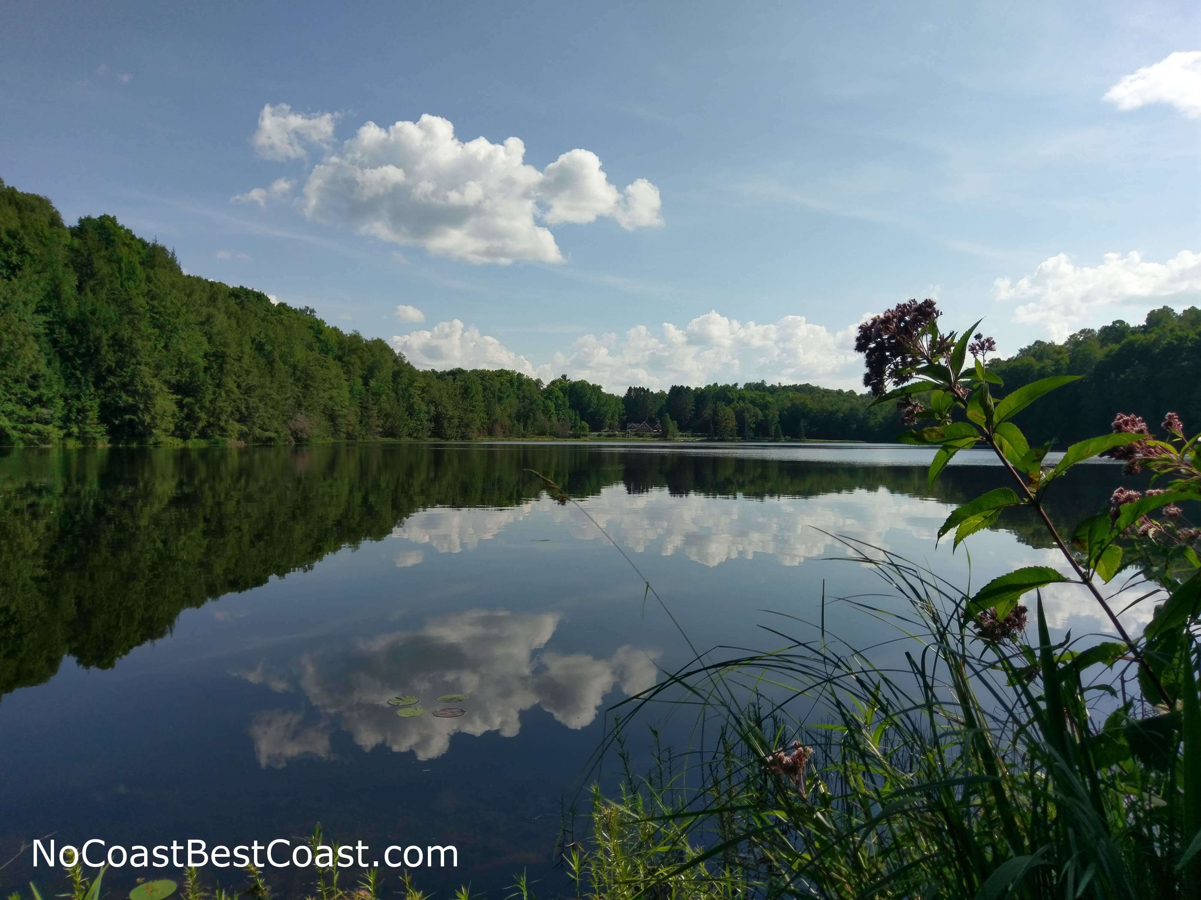
The water of Bass Lake creating a perfect reflection
Hiked on Friday, August 10th, 2018 by Ricky Holzer
Important Information
The rules state that pets "must be under control or on a leash at all times -- not allowed near swimming area or in buildings". Not only is this a good short hike for the entire family, but Timm's Hill County Park is an excellent place to spend the day enjoying the outdoors with a swimming area, a fishing pier, a playground, and a large covered picnic area. You can reach the top of Timm's Hill in all four seasons, but note that the park gates are only open from May to October; during the winter the park road is impassible and you'll have to hike, snowshoe, or ski in from County Road RR (if you hike or snowshoe, walk to the side of the trails to preserve the grooming for skiers). Given the long distance from any major cities or towns, I wouldn't expect large crowds, but the attraction of the views from the state's highpoint mean you will probably never be alone here.
Directions
Timm's Hill is in the middle of nowhere, about two hours from Eau Claire. Starting from Eau Claire, take U.S. Highway 53 north then take the exit for Wisconsin Highway 29 heading east. Next you'll zigzag on county roads to avoid driving through towns. Take the exit for County Road E, then turn left. Turn right on County Road O, then turn left on County Road Q. Turn right on County Road M, then turn left on Wisconsin Highway 13. Continue straight for about 15 miles, then turn right on Old Highway 13 towards Ogema. Turn right onto Wisconsin Highway 86 and follow it as it bends through town. Turn right on County Road C, then go straight to continue on County Road RR. You should see signs for Timm's Hill County Park, and turn left onto the one lane road to enter the park. Park at the big lot near the covered picnic area and map kiosk.
Google Maps Directions
Parking, Fees, and Facilities
Parking is free! There are pit toilets and a covered picnic area near the lot.
Nearby Hikes
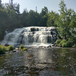
Copper Falls State Park, Wisconsin
★★★★★(5/5)
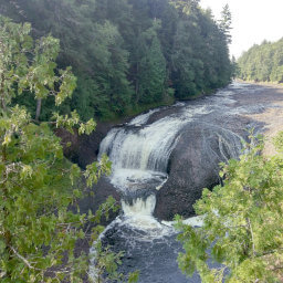
Ottawa National Forest, Michigan
★☆☆☆☆(1/5)
Ottawa National Forest, Michigan
★★★★★(5/5)
Ottawa National Forest, Michigan
★★★★★(5/5)