| Rating | ★★★☆☆(3/5) |
| Overall Difficulty | Easy |
| Navigation Difficulty | Easy |
| Distance | 0.2 miles roundtrip |
| Time | 15 minutes |
| Terrain | Mostly flat |
| Best Seasons | All |
| Dog Friendly | No |
| Accessible | No |
Highlights
- Seeing the jagged rocks of the Bonito Lava Flow up close
- Learning about geology on a short, easy hike
Hike Summary
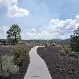
The Hawaiian word "a'a" (pronounced ah ah) is a common descriptor for lava flows worldwide, characterizing lava with a high volume and velocity that cools into rough formations. Throughout your hike on the A'a Trail, you will witness this term firsthand as you observe the jagged basalt formations of the Bonito Lava Flow.
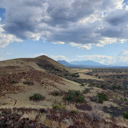
The trail forms a short loop, and which direction you go depends mainly on where you parked. Just follow the well-defined trail closest to you. Looking to the east, you'll see Sunset Crater rising above the lava flow, as pictured below. Nearly 1000 years ago, this now extinct volcano erupted and created the field of dark rock where you stand. Fun fact: Sunset Crater was the last volcano to erupt in Arizona.
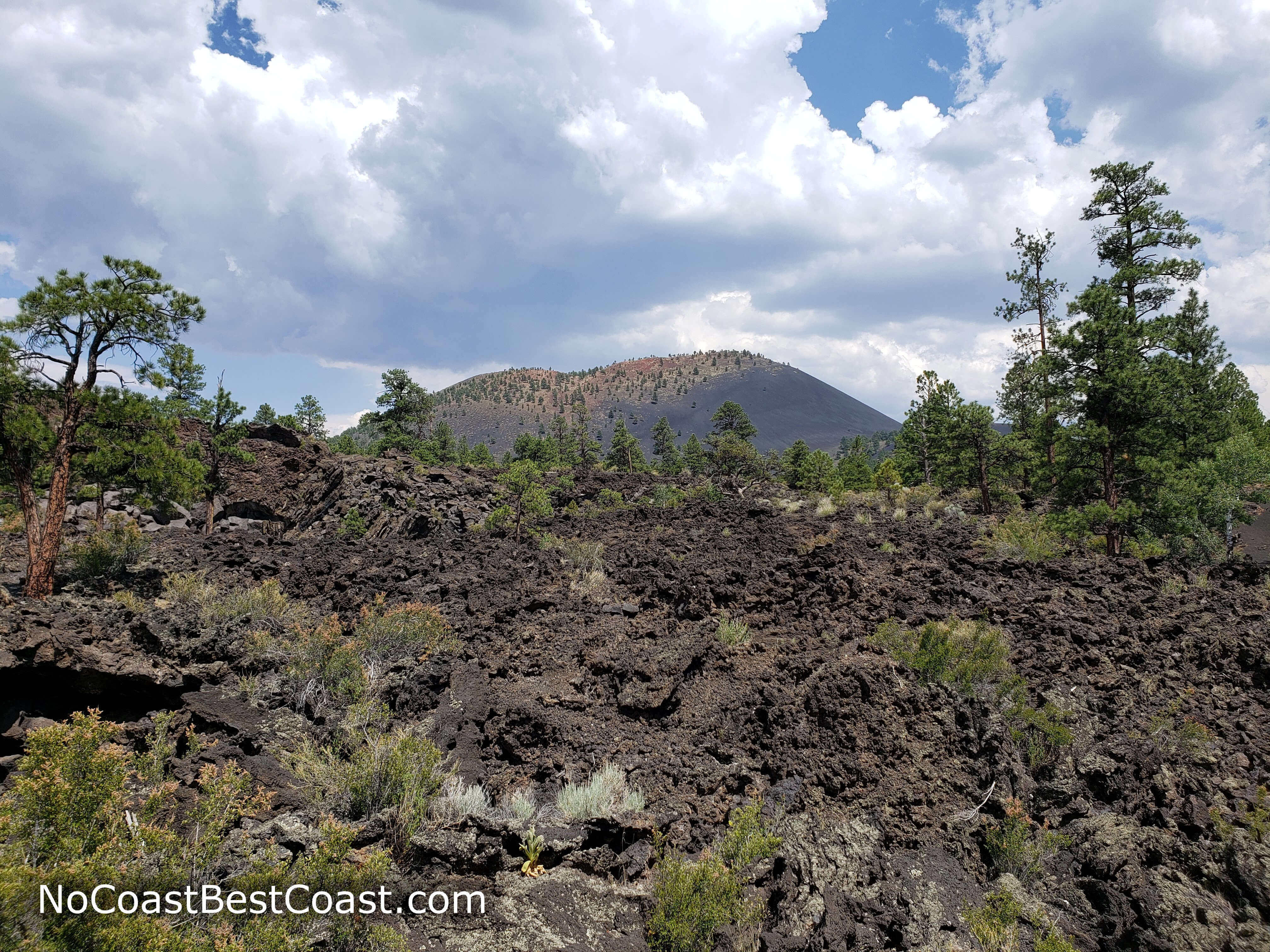
Sunset Crater peeking over the hill
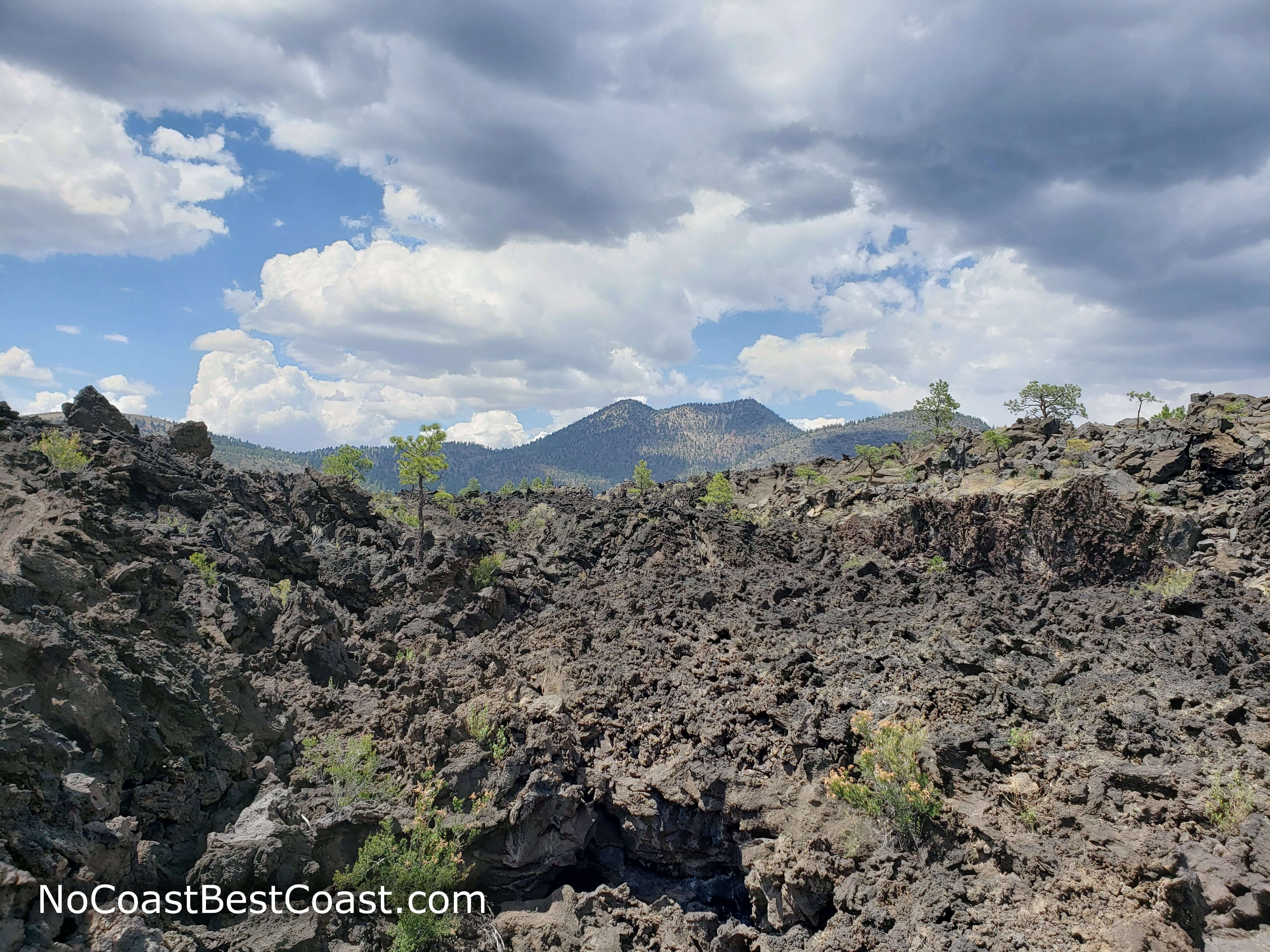
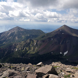
O'Leary Peak in the distance above the lava flow
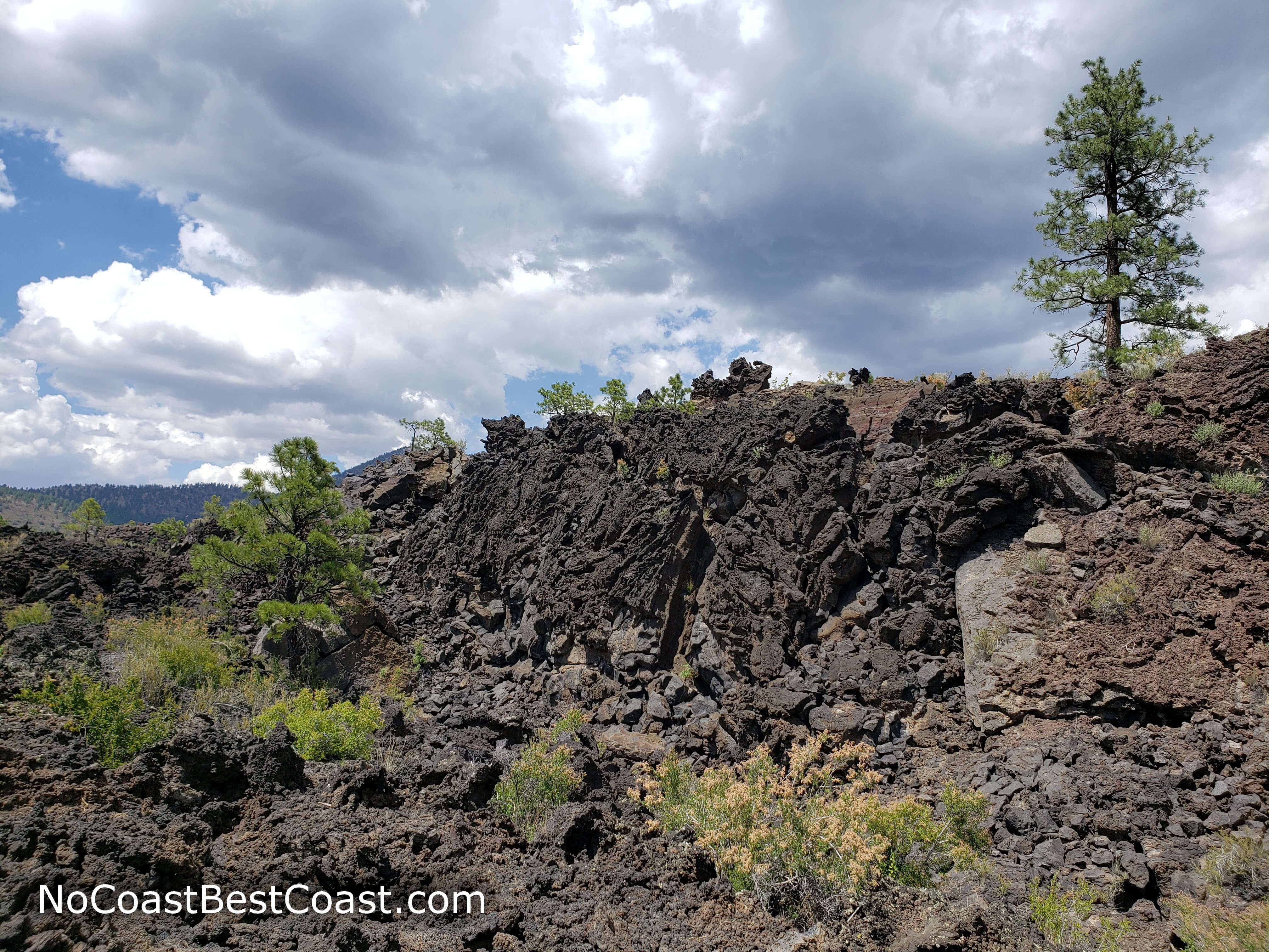
The jagged basalt formations of the Bonito Lava Flow
Hiked on Thursday, July 25th, 2019 by Ricky Holzer
Important Information
Dogs are not allowed on any trails in the park; it's best to leave your dog at home since desert temperatures can kill dogs waiting in cars. This hike is great for families since it is so short. You can visit during any season, but be prepared for wind. In the summer, temperatures can exceed 100 degrees and afternoon thunderstorms are common. Winter and early spring may bring snow, but it doesn't usually stick around long. Expect to see people, especially on the weekends.
Directions
From Flagstaff, take Interstate 40 east. Take the exit for U.S. Highway 89, then turn left. Turn right onto U.S. Highway 89. Turn right at the brown sign pointing to Sunset Crater Volcano National Monument and Wupatki National Monument. After passing the visitor center, look for a small parking area on the left hand side of the road. If this lot is full, continue straight then take the first right into the parking area for the Lava Flow Trail -- you'll have to take a short spur trail to reach the A'a Trail.
Google Maps Directions
Parking, Fees, and Facilities
Entrance to the park is $25 per vehicle and permits access for 7 days to both Wupatki National Monument and Sunset Crater Volcano National Monument. Interagency passes are also honored here. Visit the park's fees page for more information. There are no facilities at the trailhead, but there are pit toilets at the nearby parking for the Lava Flow Trail. Otherwise, the staffed visitor center has restrooms and water in addition to educational exhibits and a gift shop.
Nearby Hikes
Sunset Crater Volcano National Monument, Arizona
★★★★☆(4/5)
Sunset Crater Volcano National Monument, Arizona
★★★☆☆(3/5)
Coconino National Forest, Arizona
★★★★★(5/5)
Coconino National Forest, Arizona
★★★★☆(4/5)